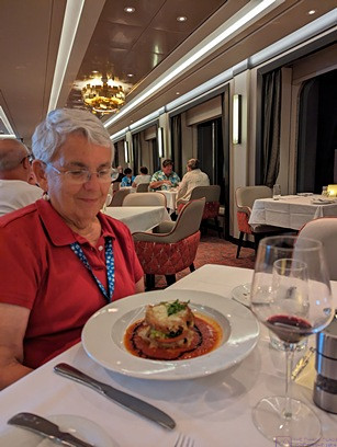
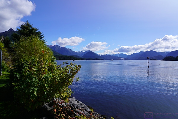
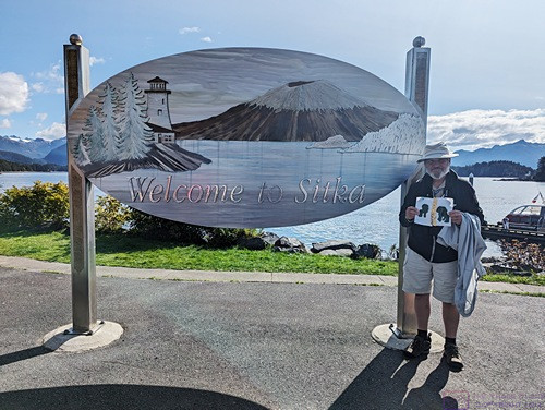
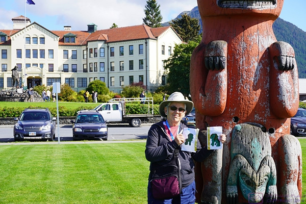
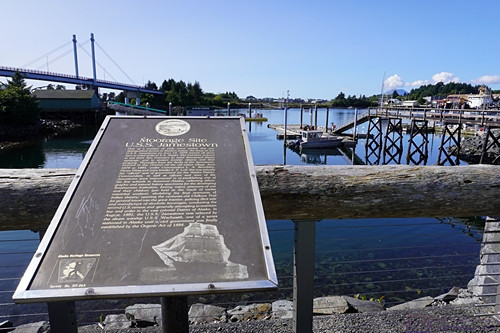
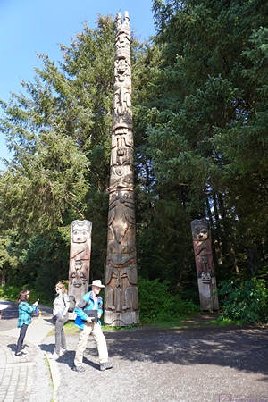
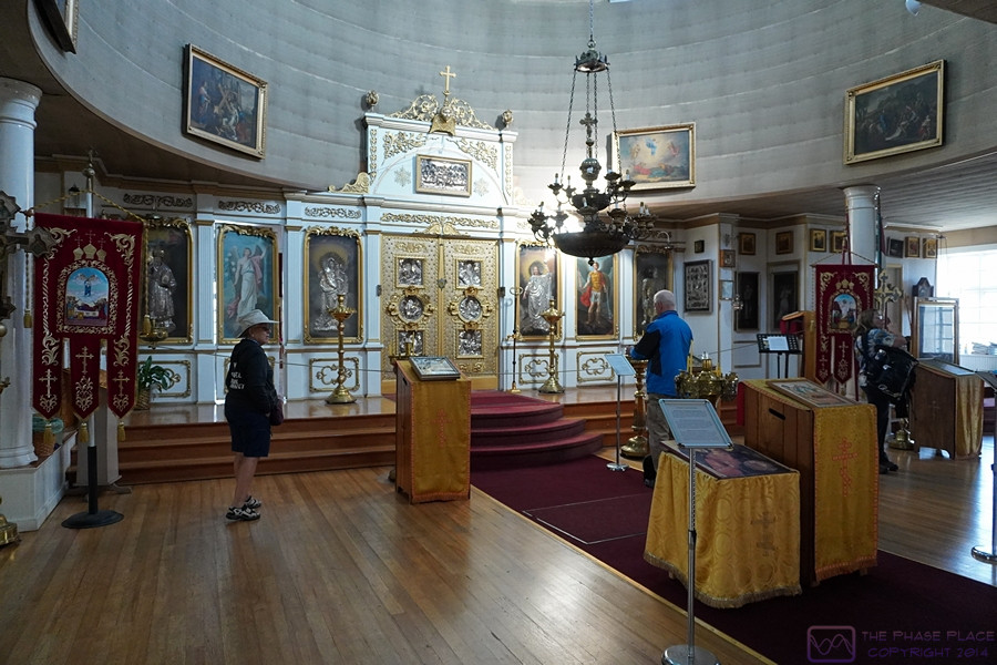
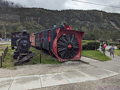
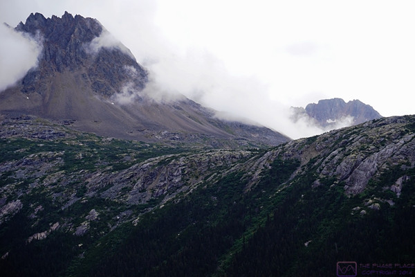
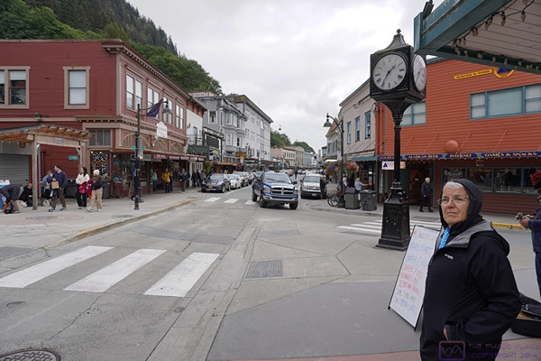
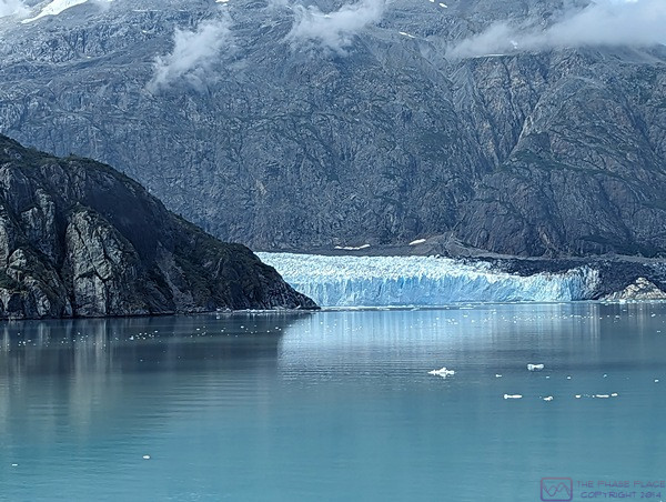
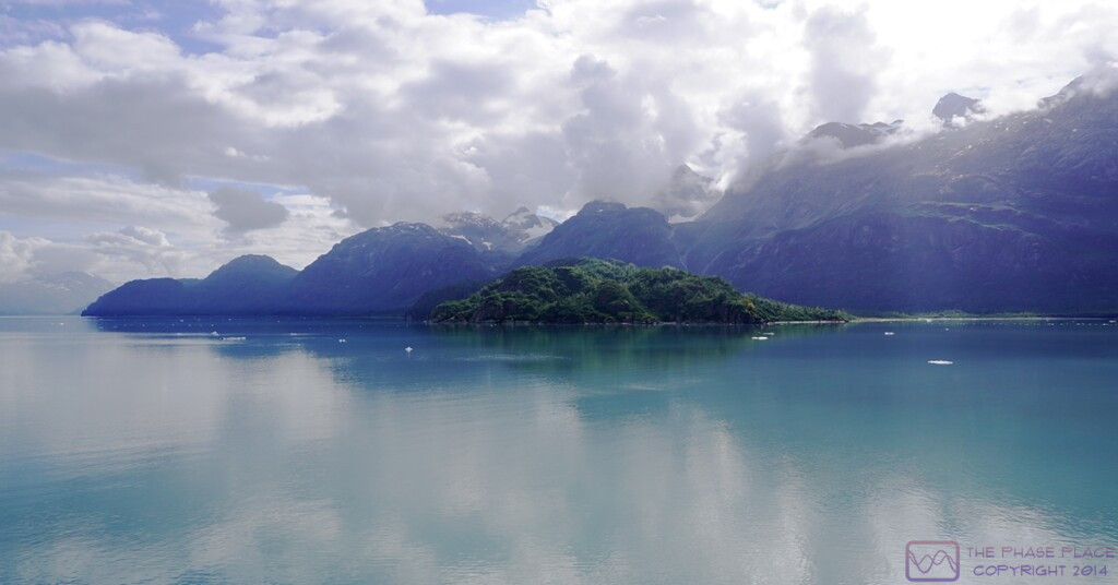
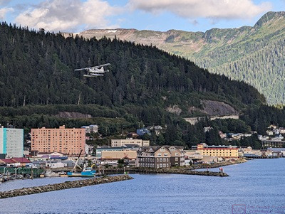
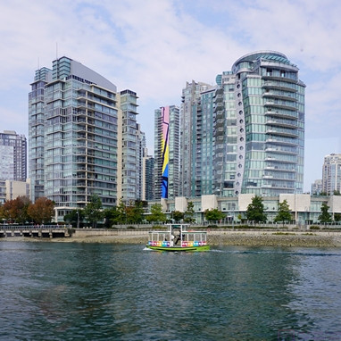
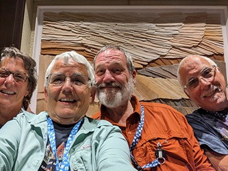
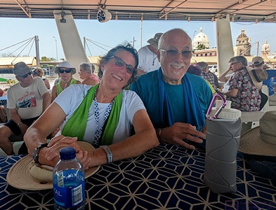
Note: This is the 16th of 16 posts about our 21-day trip that included a 17-day (16-night) cruise on the Norwegian Cruise Line (NCL) ship SPIRIT from Vancouver, British Columbia north along the inside passage to Sitka, Alaska, and then across the North Pacific Ocean to the Hawaiian Islands, before ending in Honolulu, Oahu. This post has 13 photographs with captions and some narrative. Photos by me (Bruce) taken with SONY alpha 6400 or Google Pixel 6 Pro unless otherwise indicated. (Photos by Linda taken with a Google Pixel 6.)
FRIDAY 15 September 2023 — (T20-21,C17) Honolulu, Oahu, Hawaii and home
This was the 20th day of our trip, and the 17th and final day of our cruise. We arrived in the early morning hours at the cruise port in Honolulu, Oahu, our final port-of-call in the Hawaiian Islands. (It was a 21-day trip in total, as we would not arrive back at our home in Michigan until the following day, but I cover a few highlights of that at the end of this post.)
On the last day of a cruise, passengers must disembark fairly early in the day so the crew can “turn the ship around” and get it ready for the next set of passengers, who will start their embarkation by late morning. When leaving from and returning to ports in the continental USA, we can usually arrange flights back to Michigan that allow us plenty of time to get to the airport without having to wait too long to board our plane after getting there. In the case of this cruise, however, the most “reasonable” flight we could book departed at around 5 PM local time. That meant we had to figure out what to do during the day, which included what to do with our luggage, a not insignificant issue.
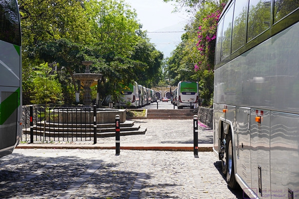
The easiest solution was to book a motorcoach shore excursion that included transportation to the Honolulu International Airport, with our luggage safely stored onboard the motorcoach until we were dropped off at our terminal. Yes, pre- and post-cruise shore excursions are a “thing,” as are pre- and post-tour transportation options. Actually, any service a cruise line can provide, or product they can sell, to extract a bit more money from their customers is a thing. In this case, however, it was an excellent option for us. Although we had been to Pearl Harbor on our last visit to Hawaii, it was the shore excursion that best met the needs of passengers, like us, with flights departing after 3 PM local time. And so, we went to Pearl Harbor.
Although still very much an active military base, the Pearl Harbor National Memorial is an interesting, historically important, and somber place that draws some 2 Million visitors every year. Perhaps we were just tired from the cruise, but it seemed like half of those people were there today, or perhaps just half of the people from our cruise ship. They weren’t, of course, but the place did seem crowed. Since we had already seen many of the major sites that make up the National Memorial, we were not motivated to spend more money beyond our entrance fee just to stand in lines and deal with crowds to try to see them again. We decided to just stroll the grounds instead, read placards, take a few photos, and find something to eat. Our biggest problem was finding someplace to sit (at all, never mind comfortable) and stay out of the sun. As we’ve gotten older, however, I think we’ve gotten better at just quietly “passing the time” when we find ourselves in situations that require it, or at least benefit from adopting that attitude.
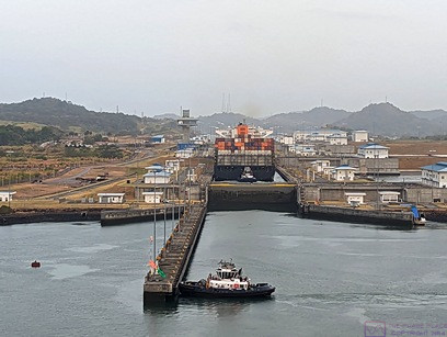
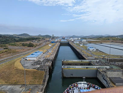
Here are a few photos from that day, followed by an epilogue to wrap up our 21-day trip.
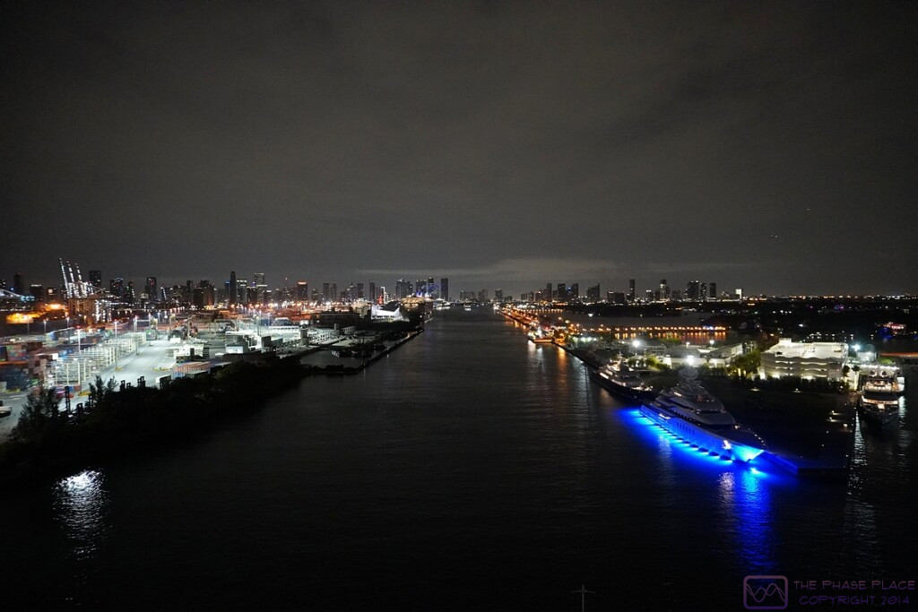
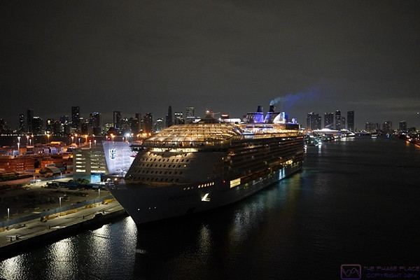
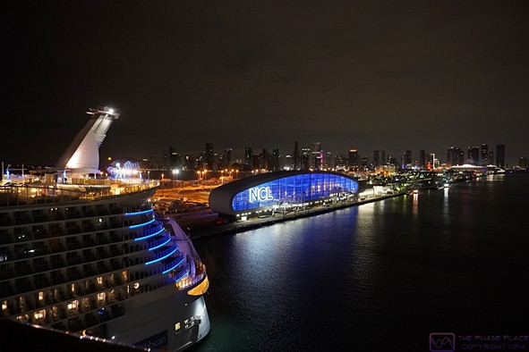
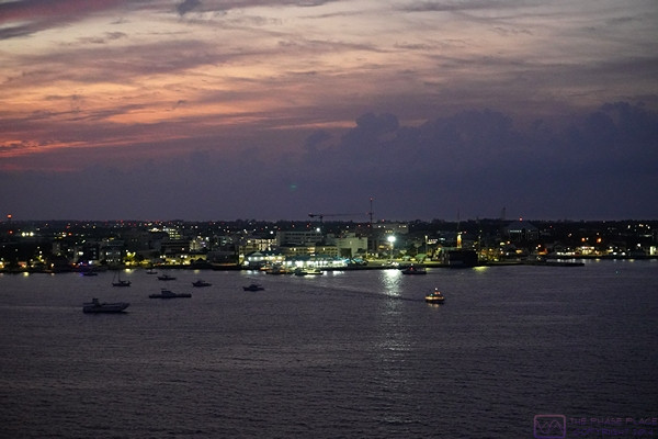
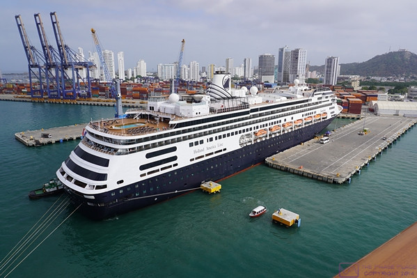
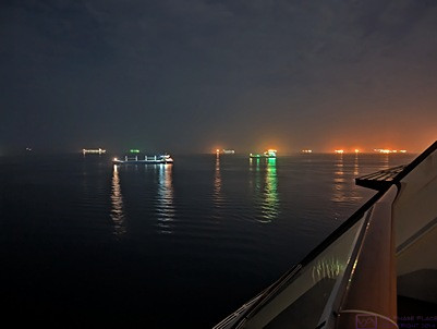
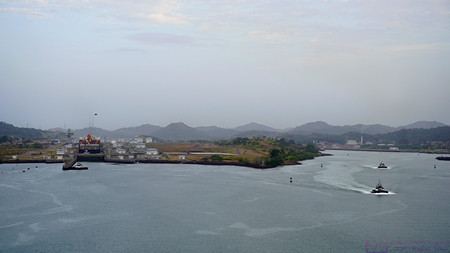
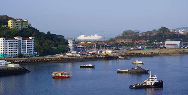
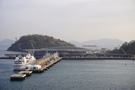
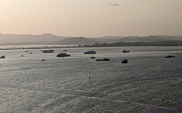
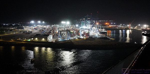
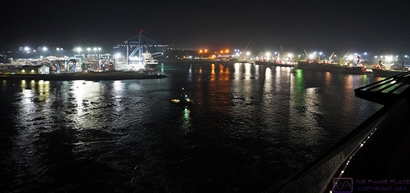
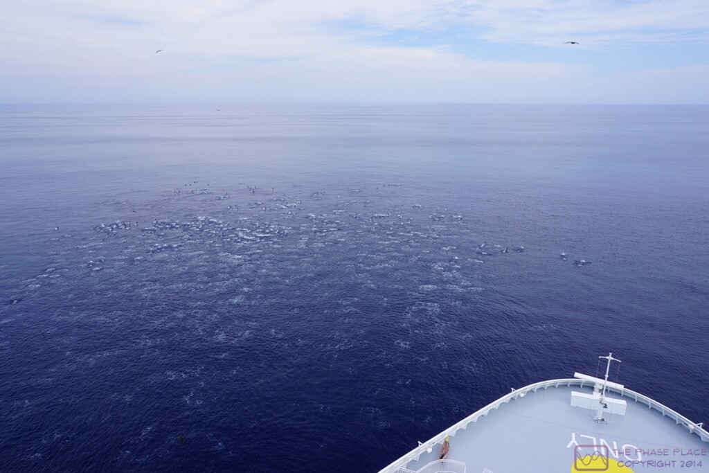
Our ship was already at the dock when I took this photo around 6 AM local time.
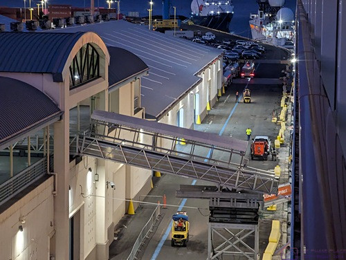
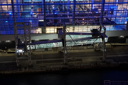
I am always interested in structures, machines, etc. Shown here is a service ramp that has already been deployed from the terminal to the ship.
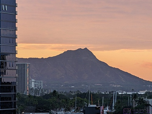
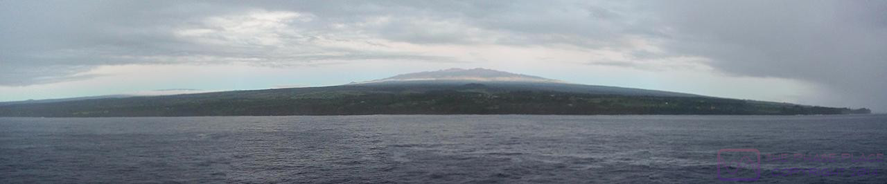
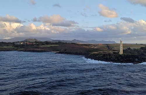
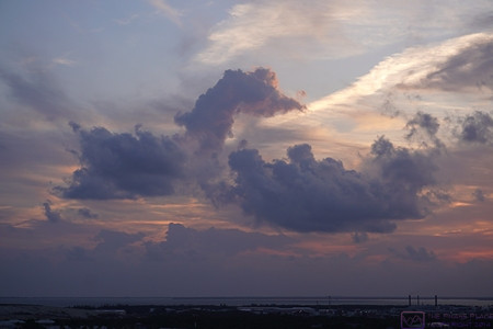
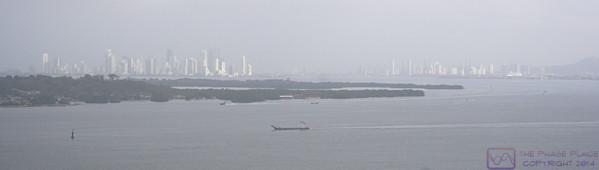
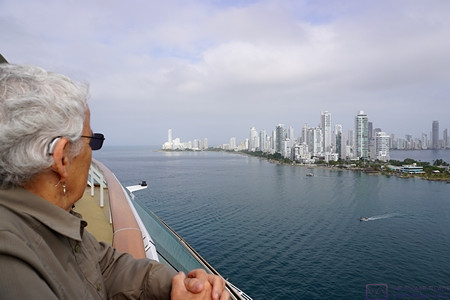
The famous Diamond Head (extinct volcano) at the far east end of Waikiki Beach, backlit by the sunrise around 6:30 AM.
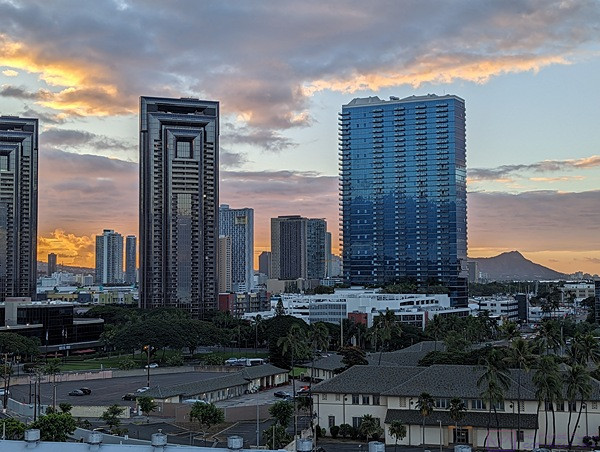
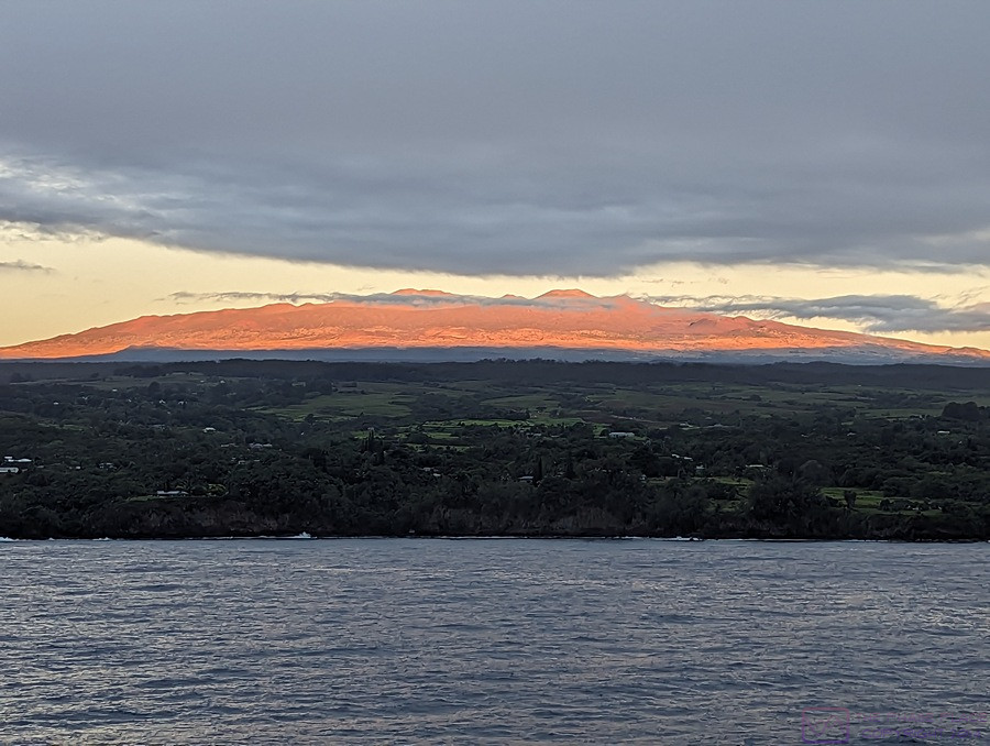
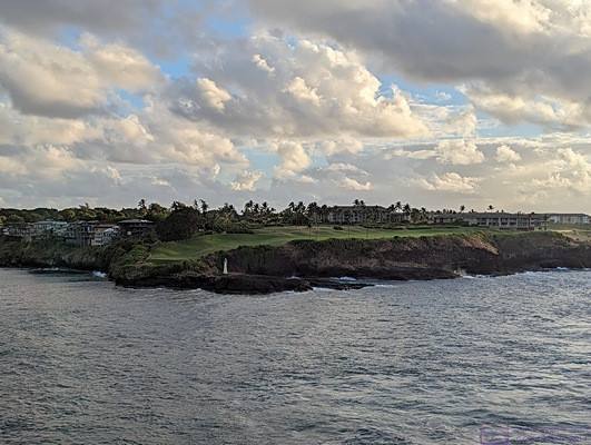
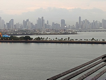
Another view looking towards Diamond Head, which is towards the right edge of the frame at the horizon, showing some of the skyscrapers in this part of Honolulu. These could be hotels, apartment/condos, or office buildings. (Photo by Linda)
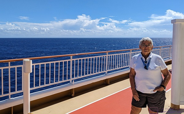
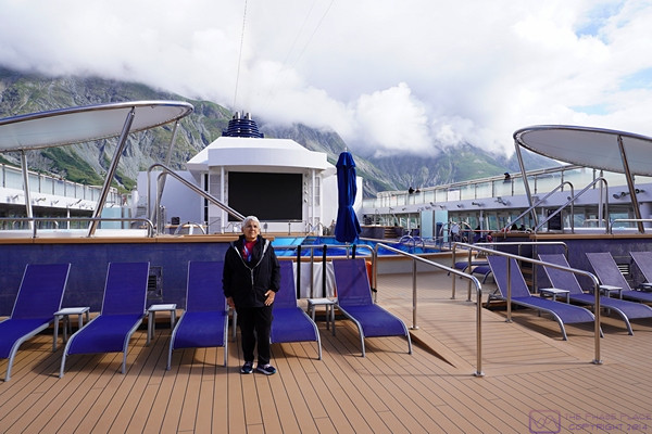
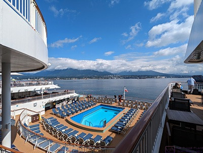
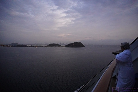
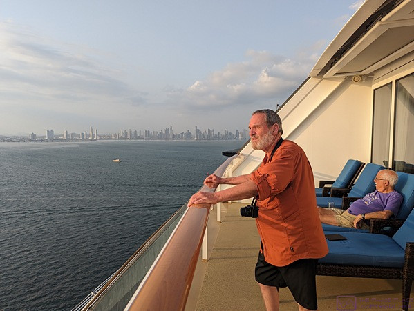
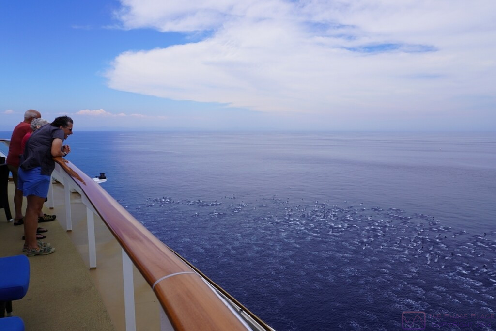
Since we had to disembark early, we were up and dressed early to get a bite to eat and have one last stroll around the ship. At ~6:30 AM we had the walking track on Deck 13 (ABIR) to ourselves. The pool has been covered with netting to keep people out, or catch anyone who might fall in.
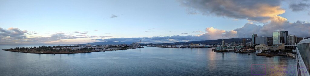
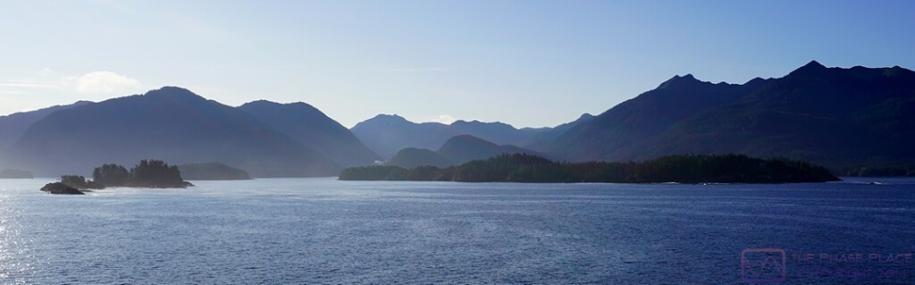
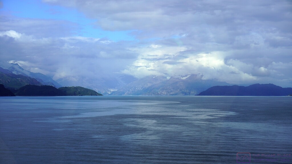
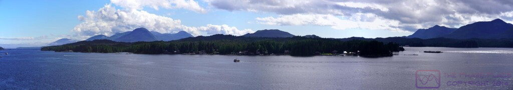
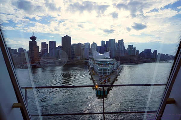
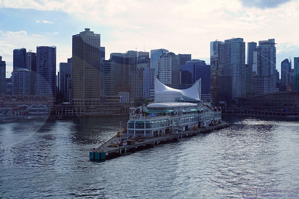
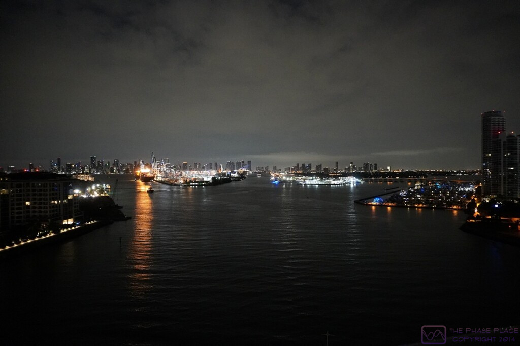
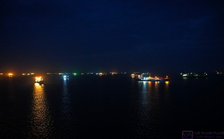
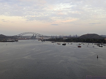
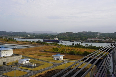
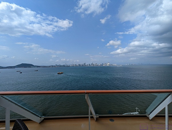
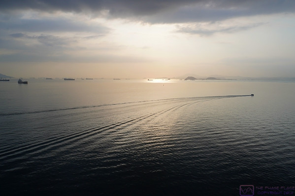
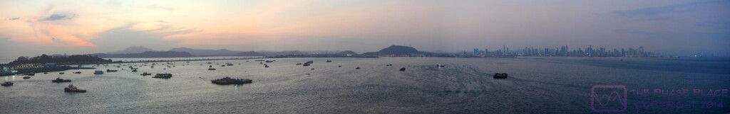
A panorama composited from five (5) images of the harbor off the port side of the ship.
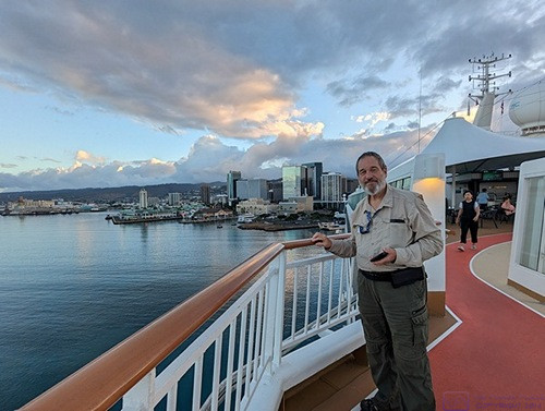
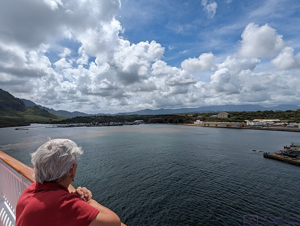
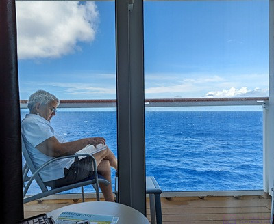
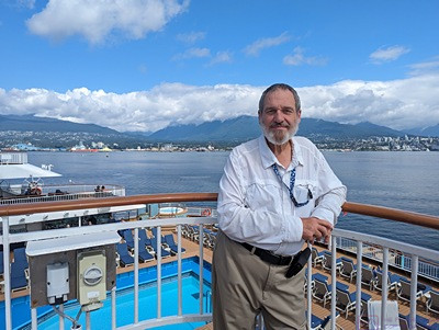
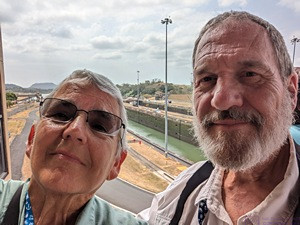
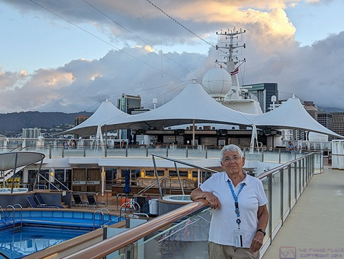
Another early morning photo from the starboard side walking track with the harbor behind Bruce. (Photo by Linda)
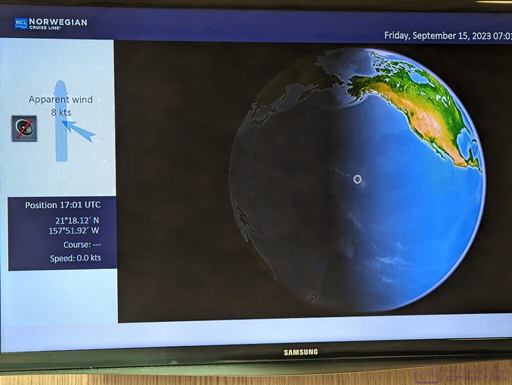
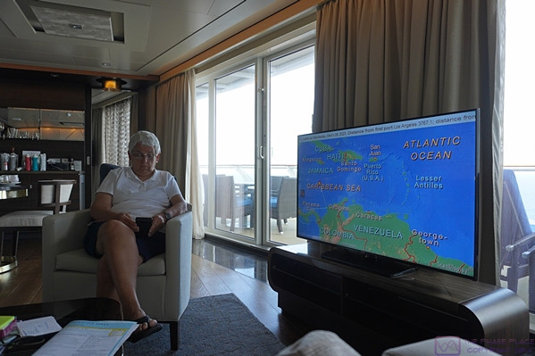
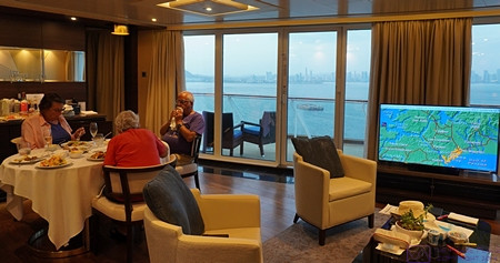
Yes, this is a photo of the TV screen in our stateroom.
Regarding the above photo, the left side of the screen clearly shows the time to be 17:01 UTC and the upper right corner shows the time to be 07:01 (local) establishing the 10-hour time difference between Honolulu and Greenwich, England (where Greenwich Mean Time (GMT) and UTC are usually the same).
UTC (Universal Time Coordinated) is a time standard that never changes (no daylight savings time nonsense), while GMT is a time zone, in which Greenwich, England is located. We live in the Eastern Time zone (EST or EDT, depending on the time of year), which is UTC minus 5 this time of year (Daylight savings time was still in effect in the USA). By the time we arrived back in Michigan, our plane (and us) had been in six (6) time zones over ~ 9-1/2 hours in the air.
The screen also shows our position at 21 degrees 18.12 minutes North Latitude and 157 degrees 51.92 minutes West Longitude. Linda captured an image (not shown here) of the lower left corner of the screen indicating that our total distance traveled (in the ship) was 4,502 nautical miles (5,180.8 statute miles). The flight distance from DTW (Detroit) to YVR (Vancouver) is ~1,959 miles, and the flight distance from HNL (Honolulu) to DTW (Detroit) is ~ 4,475 miles. Thus, the total distance traveled on this trip, not including excursions, was ~ 11,614 statute miles, or ~553 miles per day on average.
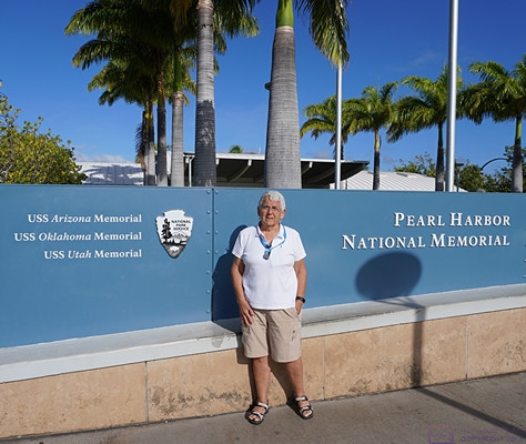
Welcome to the Pearl Harbor National Memorial, which includes Memorials for the USS Arizona, USS Oklahoma, and USS Utah, all lost on the December 7, 1941 attack on Pearl Harbor.
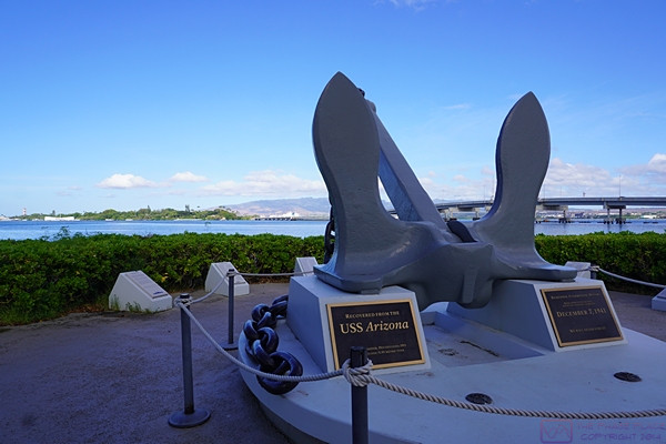
An anchor that was salvaged from the USS Arizona.
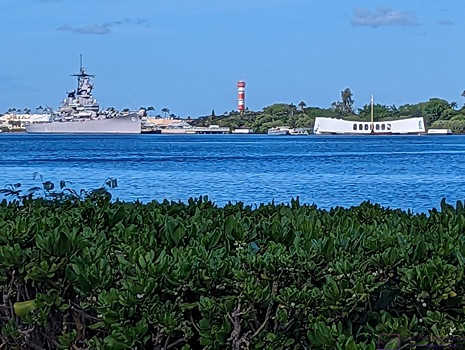
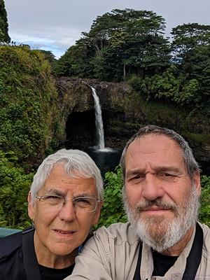
The low white building with the curved roof is the USS Arizona Memorial. It straddles the ship in its final resting place and has a glass floor, allowing visitors to view the remains of part of the ship. We visited this Memorial on our previous visit. (Photo by Linda)
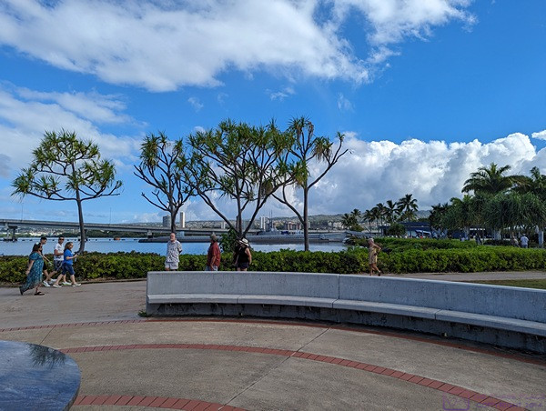
A circular courtyard that surrounds a relief map of Pearl Harbor, and has plaques with the names of the lost, provided some place to sit and contemplate the events of the day that pulled the USA into World Ward II. (Photo by Linda)
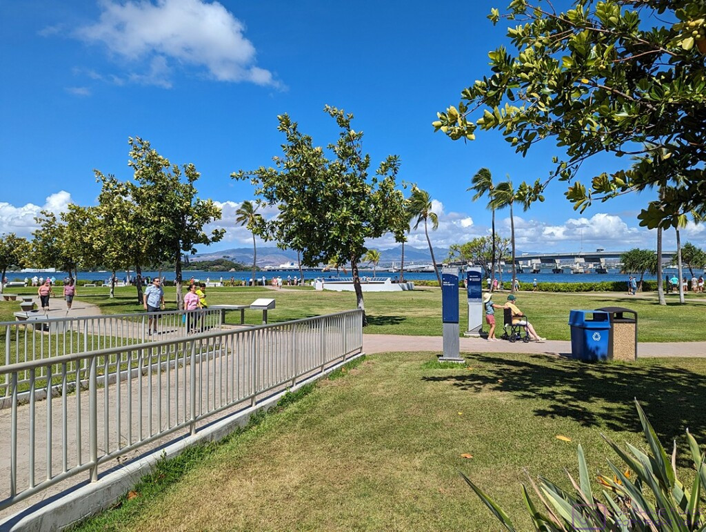
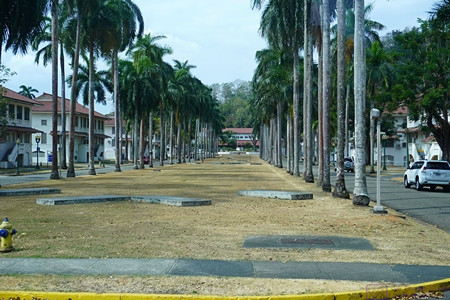
A broader view of the grounds at the Pearl Harbor National Memorial. The USS Arizona Memorial is visible at the left edge of the frame. The site is beautifully maintained, as you would expect, and is accessible for those visitors with mobility issues. I think the exception is the submarine tour, as it involves climbing stairs and, ABIR, ladders. We toured the submarine on our previous visit to the National Memorial.
…..
Epilogue (T20-21) — Friday evening 15 September & Saturday 16 September
With our drop-off at the Honolulu International Airport around 3 PM, our NCL SPIRIT cruise was officially concluded. We were no longer “cruisers,” just ordinary travelers waiting to fly home. The drop-off point was a “back” entrance to the terminal and it was a bit confusing at first figuring out where to go once we were inside. But we figured it out in short enough order, and began the process of checking our two larger suitcases, clearing through the TSA checkpoint, finding our gate, and waiting to be called to board the airplane. The airport was busy; the Hawaiian Islands are a popular tourist destination, and Honolulu International Airport is the major way most people arrive and depart.
Time zones are fascinating, and while travel across them can be interesting, it can also be challenging, especially as regards sleeping. (As noted in several posts, I’ve also had an issue merging photos from three different devices in correct chronological sequence. This has been due to different devices using different time references when naming and tagging image files.) ABIR, our Delta Airlines flight was scheduled to depart at around 5 PM Honolulu time. At 5 PM in Honolulu, it was already 10 PM in Detroit, Michigan, and within a couple of hours of taking off, it was Saturday, 16 September at home.
We had an approximately 4,500-mile trip ahead of us at an average (air) speed of ~500 mph, so roughly a 9-hour flight plus a 30-minute allowance for ground operations (takeoff and landing combined). The actual time, gate-to-gate, could have been more or less depending on prevailing wind speeds and directions at flight altitude (which tend to be from west to east, so a favorable tailwind), or the need to detour around severe weather. That put our estimated time of arrival at Detroit Metropolitan Airport (DTW) at 6:30 AM local time. Realistically, that meant we should be off the plane, luggage collected, and ready for pickup by around 7:30 AM, but I no longer recall exactly what time we reached the gate. Early, in any event, but not hugely inconvenient for our son, who lives about 30 minutes from the airport, and had agreed to fetch us upon our arrival.
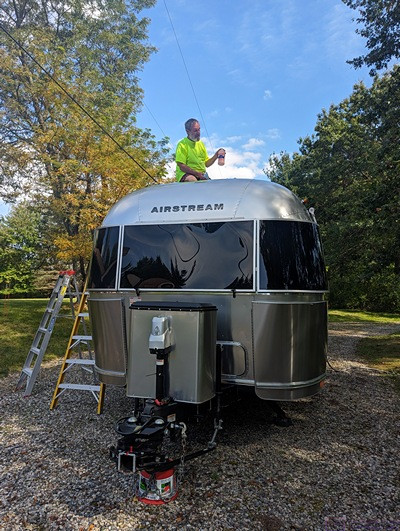
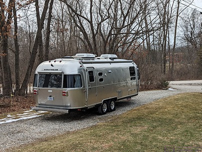
As with past cruises, we had one of our children take us to the airport and pick us up upon our return. That has usually been our daughter, but for this trip it was our son. We drove our F-150 to his house on departure day and he chauffeured us from/to there. Part of the reason for this, was that he and his wife wanted to get the truck “detailed” while we were away. They had borrowed it during the summer, along with the Airstream travel trailer, to use for a family vacation and wanted to get it cleaned up as a “thank you” for letting them use it. We did not expect them to do this, of course, but we were not going to say “no” either. They also live closer to the airport than our daughter does.
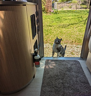
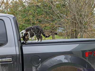
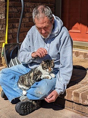
Back at his house the rest of the family was awake, so we got to see our two youngest grand-daughters and tell everyone a little bit about our trip. We eventually left for home and arrived to find Cabella (the cat who is not our cat, or so we say) waiting for us, even though she had lived outside for the entire duration of our trip. (She is an outside cat who has become an outside/inside cat while we are trying to figure out how to take care of her in a way that works for her and us.) Our neighbor, Mike, had kept an eye on the house (and the cat) while we were away, making sure she had water and refilling her automatic food feeder as needed.
I always like to launder all of the clothes we have had with us on any trip (short or long), but that was a task that would wait until tomorrow and get spread over a couple of days so as not to overload the septic system (or me). What could not wait, was putting the water treatment system back in full operation. I shut it off whenever we are gone for more than few days so the tanks do not regenerate, which puts a lot of water into the sump. I recall that we talked about stopping at a Panera to get something to eat, but I don’t recall what we actually did for lunch or dinner. I suspect we found something to eat for dinner in our refrigerator and/or panty as Linda usually plans for that when we go on shorter trips. We had, after all, eaten out every meal for the last 21 days. For longer trips, we try to use up any fresh food before we leave.
…