We were going to visit Bowling Green, Kentucky today but decided to put that off until tomorrow. The overnight temperature dipped down into the low 40’s, and only rose to 66 degrees F for a high, but it was a clear sunny day and we decided to explore the area NNE of our campground. This is the area of Kentucky where Abraham Lincoln, the 16th President of the United States of America, was born and spent his early childhood.

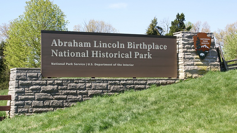
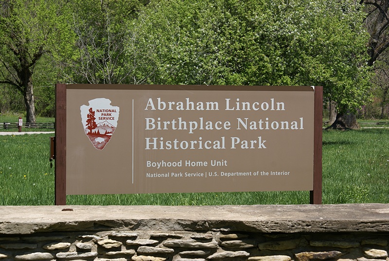
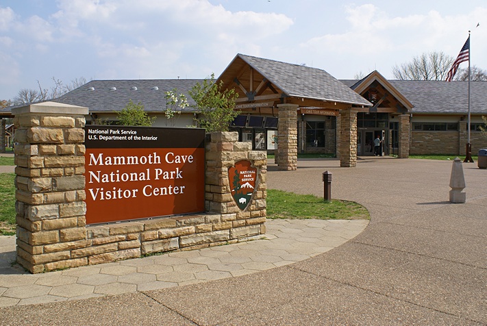
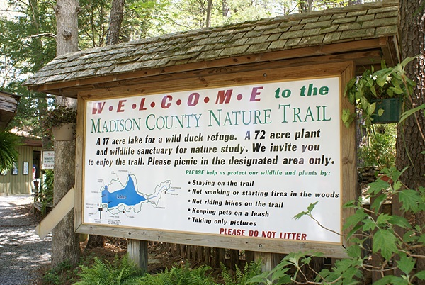
Entrance sign to the ALBNHP in Hodgenville, Kentucky.
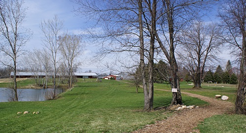
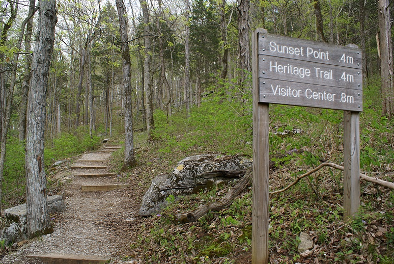
We left around 10:30 AM and took KY-70 to US-31E and headed north towards Hodgenville. Just south of Hodgenville was the entrance to the Abraham Lincoln Birthplace National Historical Park (ALBNHP). Admission was free. In typical NPS fashion, the Visitor Center had excellent displays and a theater running a well made 15 minute documentary on Lincoln’s birth and early life. And yes, one of the displays was “Lincoln Logs,” one of my favorite childhood toys. One of the things we learned from the film was the difference between pioneers, like Daniel Boone, who forged trails into the Kentucky wilderness, and frontiersman, like Abe’s parents, who followed the pioneers and settled at the edge of the expanding nation.
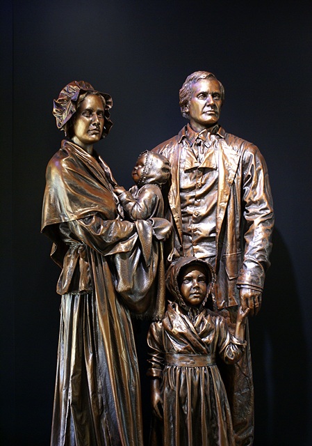
Lincoln’s ancestors, as recently as his grandparents, had been true pioneers, coming through the Cumberland Gap with the likes of Daniel Boone, but his parents were not. When he was born on February 12, 1809 his parents had already purchased Sinking Spring farm and were working the land like many other families in the area. Although they lived in a one room log cabin typical of the region at that time, Lincoln’s father, Thomas, was in the top 20% of taxpayers in the county. Frontier life was hard and uncertain but Lincoln was not born into poverty.
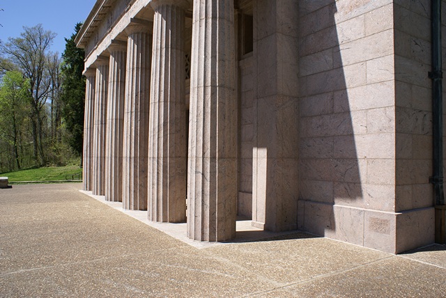
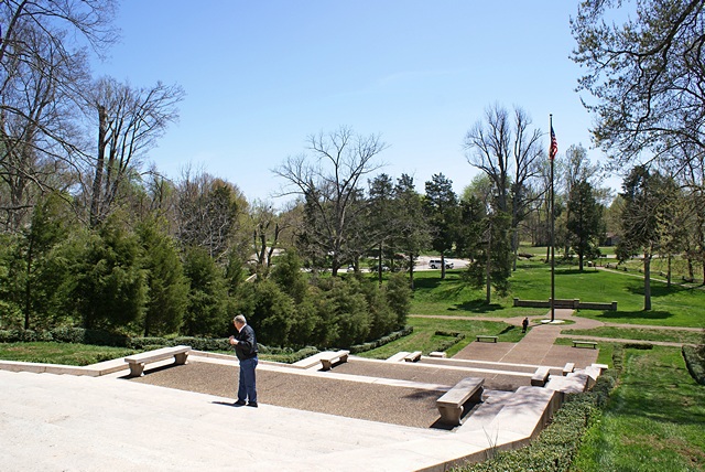
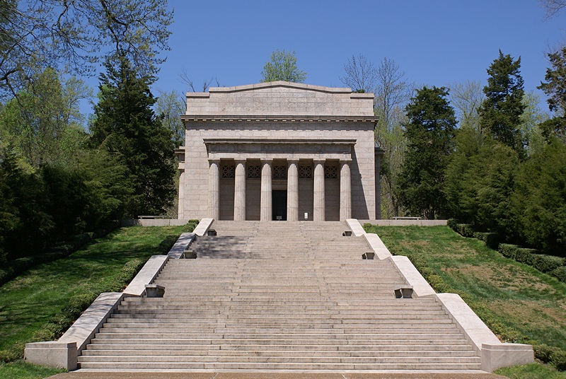
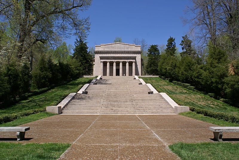
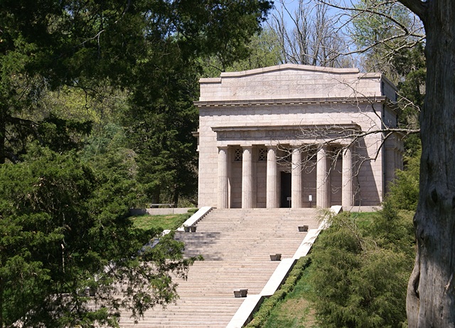
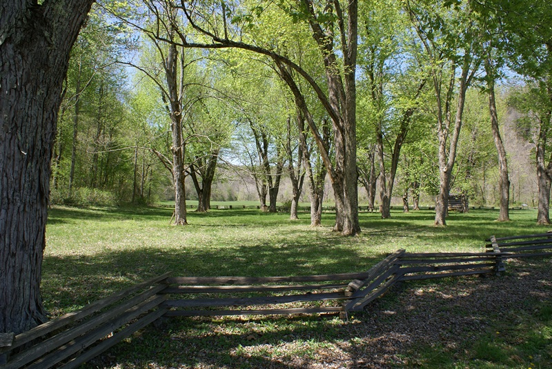
From the Visitor Center a trail lead out around behind the building and gently climbed to the top of a hill where the Lincoln Centennial Monument is located. The cornerstone was laid by President Theodore Roosevelt in 1909 and the completed monument was dedicated by President Taft. Fifty-six granite steps, one for each year of Lincoln’s life, led up to the Monument from the Sinking Spring.
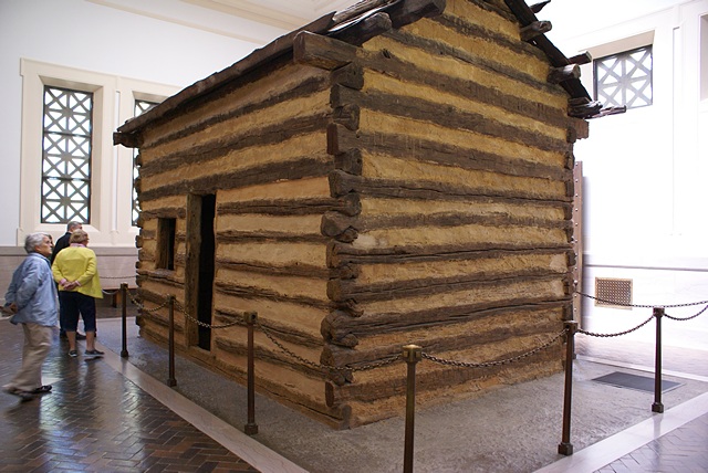
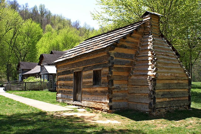
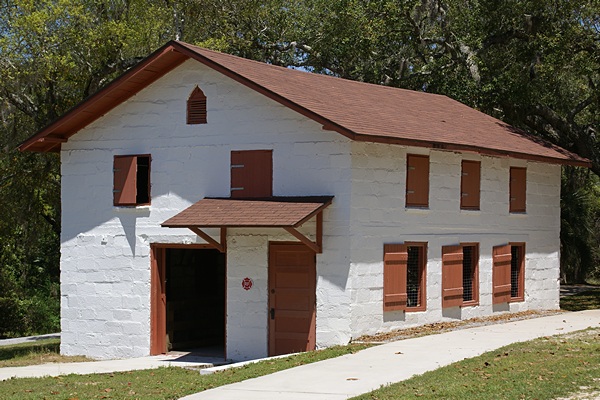
The monument houses a one room log cabin believed, at the time of the monument’s construction, to be the actual Lincoln family cabin where Abraham was born. It was eventually established, many years later, that Lincoln was not born in this cabin as the trees used for the timbers first grew almost 40 years later. The cabin, however, is absolutely authentic and representative of the design, materials, and building techniques used in the region at the time of Lincoln’s birth, and is now preserved in a climate-controlled building. Over the years the cabin has become a treasured icon representing the moment and point of origin of the man many believe was the greatest leader the nation has ever had.
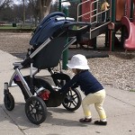
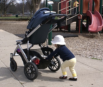
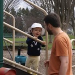
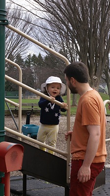
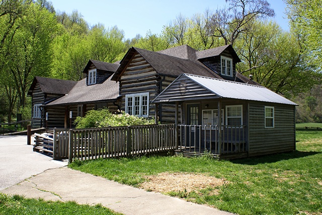
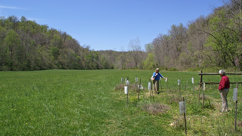
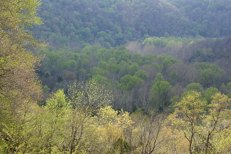
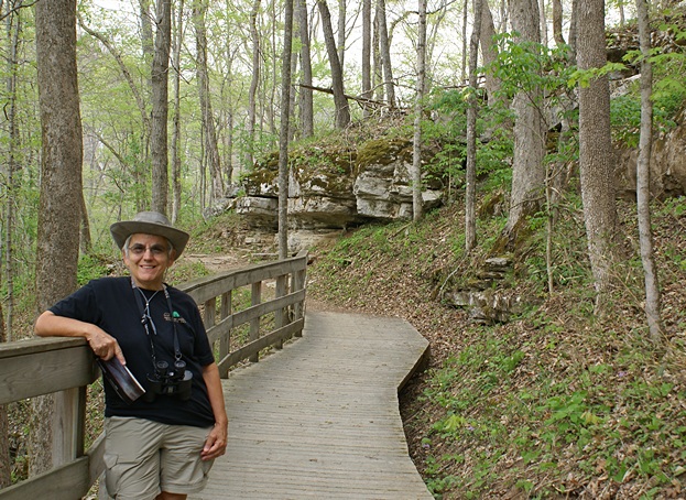
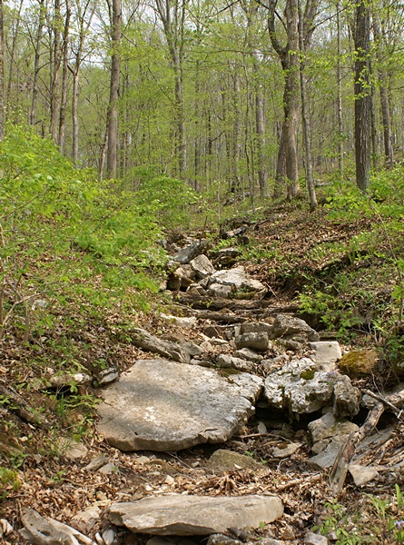
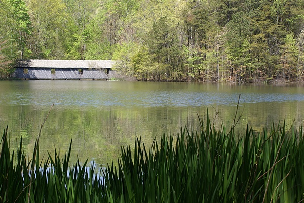
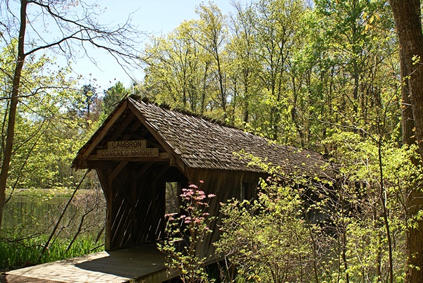
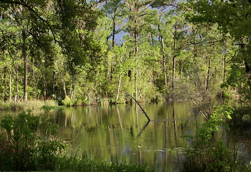
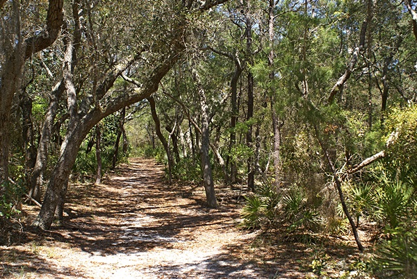
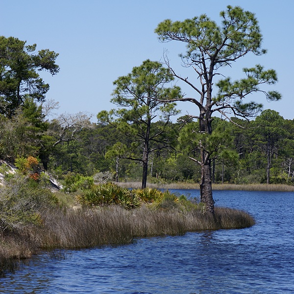
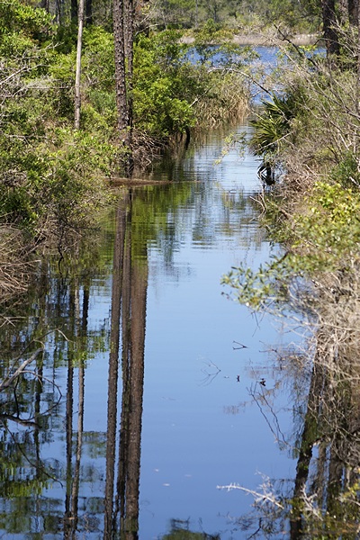
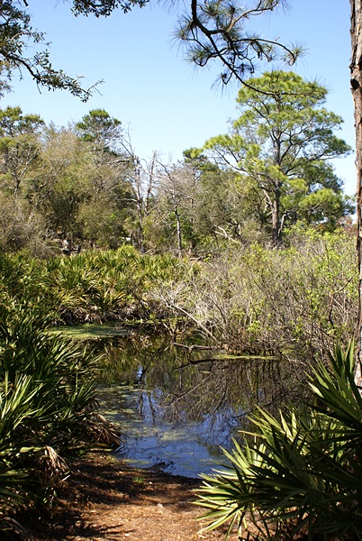
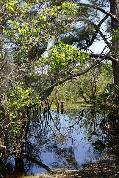
When Lincoln was only two years old his parents lost Sinking Spring in an ownership dispute and moved about eight miles northeast, up what is now US-31E, and rented a 30 acre farm on Knob Creek. The site is now the Lincoln Boyhood Home Unit of the ALBNHP. Lincoln said many years later that his first childhood memories were from the Knob Creek homestead. He only had two years of formal schooling and they occurred while his family lived at Knob Creek.
It is known that Abe and his older sister, Sarah, walked two miles (one way) from Knob Creek to the schoolhouse in Atherton. It was not uphill both ways but it was, apparently, a difficult journey for them. Lessons were done by recitation as there were no writing supplies. Abraham, however, was reportedly fascinated by letters and taught himself to write. The two years that he attended this school were the only formal schooling he ever received.
Also of note from this time and place in Lincoln’s life was the existence of slavery and his family’s involvement with the strongly anti-slavery local Baptist church. Although Lincoln’s association with Indiana, Illinois, Washington, D.C. and Gettysburg, Pennsylvania is undoubtedly better known it was clear from our visit that the region and circumstances of his birth and earliest years were the clay out of which his adult character was ultimately molded. However, once his parents moved across the Ohio River to Indiana, again because of an ownership dispute with the Knob Creek farm, it appears that Abe never returned to the place of his birth.
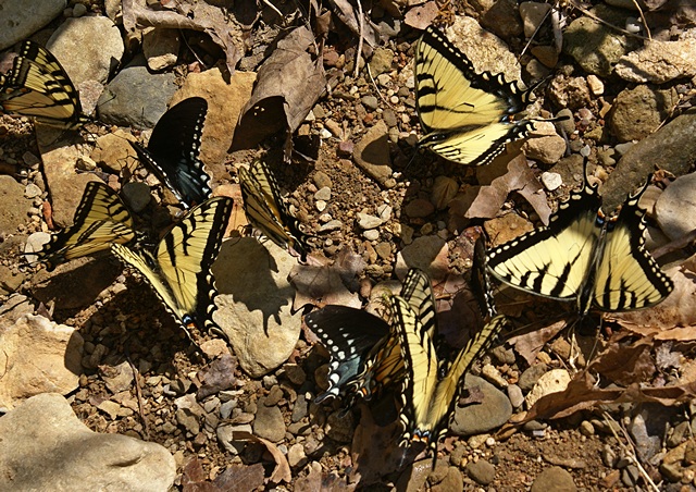
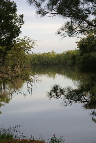
While we were walking along Knob Creek we noticed a group of butterflies gathered on the ground busily engaged in something. Only after we got back to our coach was Linda able to identify them as Eastern Tiger Swallowtail butterflies. The behavior we observed was “puddling” in which the males (primarily) gather in groups to extract sodium ions and amino acids from damp or muddy soils and gravel. Those were precisely the conditions we found along the edge of the creek.
We met a couple from Chicago in the parking lot who were staying in Bardstown, on up US-31E to the northeast, and suggested that it was worth the drive. Along the way we saw the sign for the Abbey at Gethsemani, a Trappist Monk monastery, so we took KY-246 to the monastery entrance. Descended from the monasteries of St. Benedict (ca. 1177) this was a Cistercian order of monks. The grounds and buildings were beautiful, simple, and serene, as you would expect from a place devoted to a life of worship, contemplation, and simple manual labor. The Visitor Center and gift shop featured items made by these and other monks to support their way of life. A small theater showed an informative 20 minute film about life at the monastery. Unfortunately for us the monks at this Abbey make cheese and fudge, neither of which we eat.
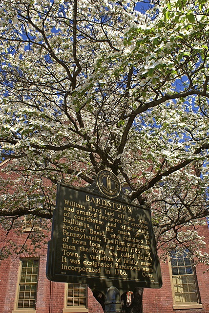
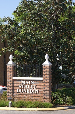
We continued on to Bardstown and found a place to park on the traffic circle surrounding the building that houses the visitor center and county offices. Bardstown is an old (late 1700’s) but happening city, the largest we have visited since arriving at Cave Country RV CG. The region around Bardstown is the center of the Kentucky Bourbon industry. Barton’s 1792 Bourbon distillery is located on the south edge of town and Maker’s Mark distillery is only 16 miles to the southeast. We Googled Whiskey vs. Bourbon and found out that Bourbon IS whiskey, but made to very specific criteria. Bourbon is made mostly from corn mash and comes only from the U. S.; mostly from Kentucky. Scotch is whiskey made in Scotland. Irish whiskey is whiskey made in Ireland. There are lots of subtle variations on this, but that’s the gist of it.
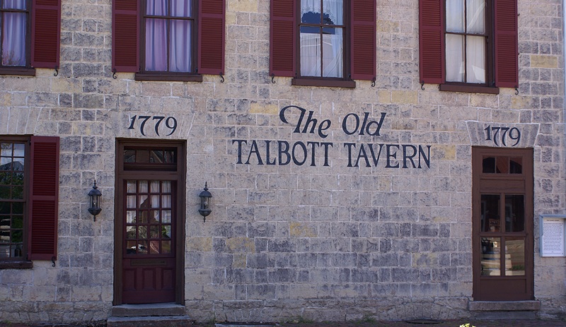
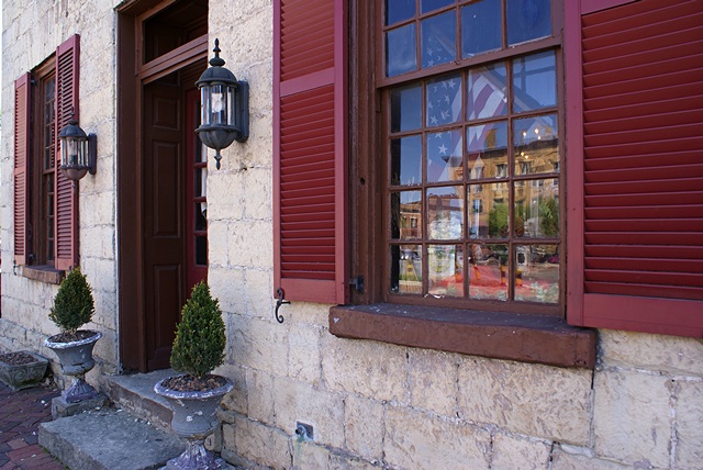
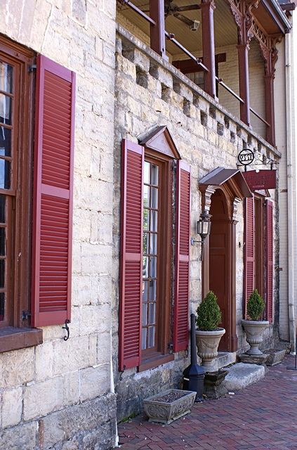
We checked out The Talbott Tavern, which dated from 1796 and is still in operation. We would have loved to have lunch or dinner in this authentic and quaint setting, but our only menu option would have been a salad, so we strolled through town instead. There were many old houses dating from 1790 – 1820, and the commercial buildings on the streets around the circle were mostly pre Civil War. Crume drug store had been in continuous operation for over 150 years.
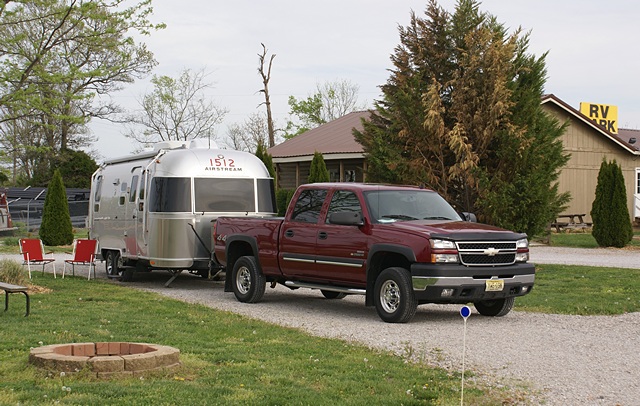
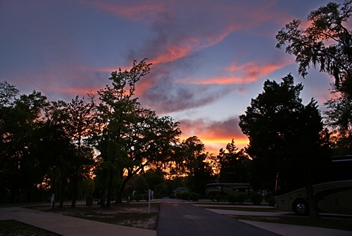
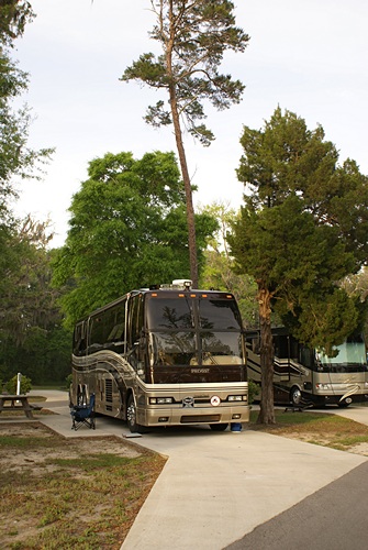
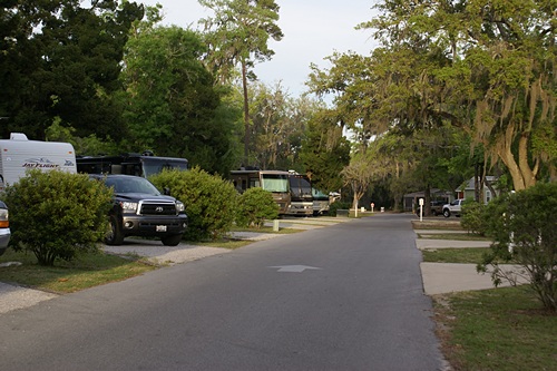
We headed back towards Cave City on US-31E but rather than retrace our route we took KY-84 west just south of Hodgenville and then headed south on KY-357 to Munfordville. Along the way we stopped at an IGA and bought a bag of Romaine salad greens and a couple bottles of water. We picked up US-31W in Munfordville and followed it south through Horse Cave to Cave City where we took KY-70 back to Cave Country RV Campground.
For dinner Linda pan-fried firm tofu slices (~1/2″ thick) with onions until caramelized, added a sweet bar-b-que sauce, and served it open-faced on some whole wheat hot dog buns we still had. A simple green salad and small glass of sangria made it a meal. Afterwards Linda read while I worked on this post and edited photographs of our visit to the land of Lincoln’s birth.