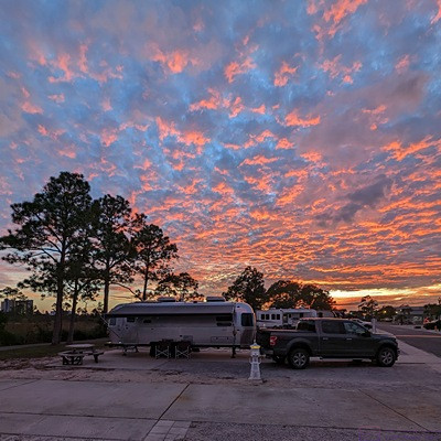
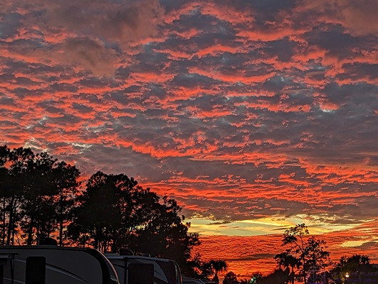
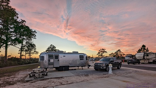
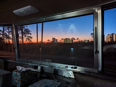
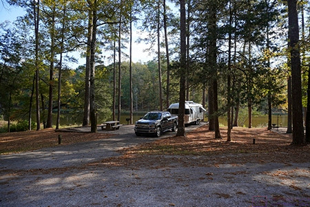
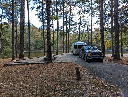
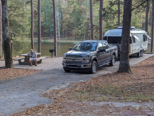
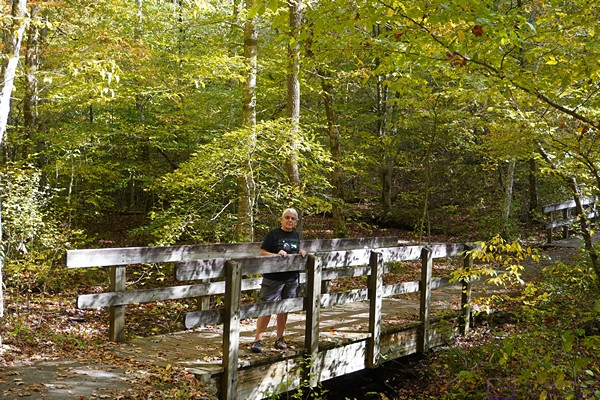
NOTE: This is a long post that includes three (3) photos with captions. Photos taken by me (Bruce) with a Google Pixel 6 Pro.
WEDNESDAY 12 and THURSDAY 13 June 2024 — New life, ongoing work, & TV
Wednesday 12 — New Life; first sighting of a Sandhill Crane colt
We started our morning with coffee, as usual, but had breakfast a bit earlier than normal. Our recycling center (Recycle Livingston) is only open on Wednesdays and Saturdays, weather permitting and excepting holiday weekends. During breakfast, we received another Boondockers Welcome request, which I approved when we had finished our meal. We then got dressed to work, and started by breaking down our accumulated corrugated cardboard and bundling it. Linda repacked some our other recyclables and we then loaded everything into the F-150 and headed off to the recycling center.
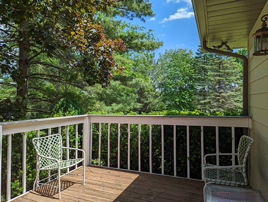
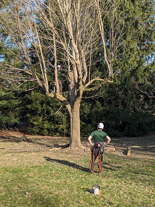
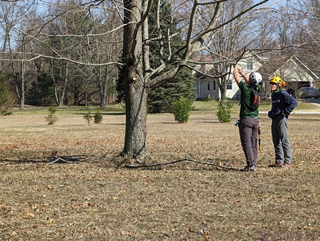
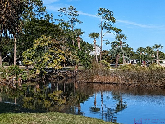
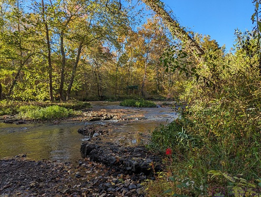
Upon our return home, we planned to work some more in the yard; Linda pulling weeds and me pruning trees. But that work was temporarily put on hold by something we spotted in the back yard, near the edge of the marsh at the NE corner of our property.
For many weeks now we had only seen one Sandhill Crane in our backyard. Prior to that, for most of the spring, we had a pair of them visiting the yard to find food. We suspected that the lone Crane was one or the other of the pair, but we didn’t know for sure. Indeed, I (Bruce) saw them mate about a month ago, and it was not long after that when we started only seeing one.
This morning, we spotted both Cranes at the back of our yard and then quickly noticed that they had a very tiny colt with them. This was our first sighting of a Sandhill Crane colt in our yard this season, although we have seen a few in the area, and they were much bigger than this little Crane. It was small enough that we figured it to be no more than a week old. Some quick research revealed that the gestation period for Sandhill Crane eggs is ~ 32 days, so that comported with what we had been observing vis-à-vis the adults visiting the yard one-at-a-time to feed. We knew from previous research that Sandhill Cranes often lay two eggs, but only one colt is hatched or survives. We have seen adult pairs with two colts in the area, but it is relatively rare.
Our research also revealed that the colts leave the nest, with their parents, of course, within a day of hatching. The adults feed them initially, but they start picking up their own food fairly quickly. This colt appeared to already be picking things up off of the ground, and the trio was in an area of the back yard where I threw corn, both whole and cracked, yesterday late afternoon.
We waited for the Cranes to go back into the marsh, at which point Linda opened the shed and got out her weeding tools. She decided to work in front of the house so as not disturbed the Cranes. For my part, I headed to my office and worked on a draft of the blog post for this week. With so much going on, and still being somewhat behind on my blog posts, I wanted to capture the highlights of this week while they were still front-of-mind.
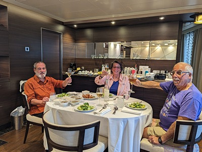
We recently finished the Nordic Murders TV series (German), Bodkin (Irish), ERIC (US, NYC in the 1980’s), and The Beach Boys documentary and started watching the Alleyn Mysteries. The lead character, Rory Alleyn, is a Chief Inspector with Scotland Yard. It is set in the late 40’s, post WWII, and was filmed in the mid-1990’s. The look and style of the production was wonderfully dated, and very British. We only had a few episodes left in the final season and searched around for something new to start. To our pleasure, season 3 of COBRA was released late last month. We enjoyed seasons 1 and 2, and the first episode of season 3 did not disappoint. We are also watching The Acolyte, a new offering from the Disney Star Wars line. It is being released one episode per week, so it will take a while to finish it.
Dan texted during the evening to see if he could stop by in the morning to continue working on the new garage door installations before heading to his day job. 7 AM turned out to be a mutually agreeable time, so I set an alarm for 06:30 to make sure I was up and dressed before his arrival.
Thursday 13 … Garage door installation and property maintenance continues
I got up at 6:30 AM, got dressed, turned on the coffee pot (it auto starts at 7 AM, but I didn’t want to wait), finished loading the dishwasher and started it, took my acid reducer pill (TMI?), and made a cup of coffee. While I waited for Dan to arrive, I worked on a puzzle I started last night. Linda was also up before 7 AM, got dressed, and made her first cup of coffee. A fairly typical start to our day, except for getting up a bit earlier as determined by an alarm clock (on my phone).
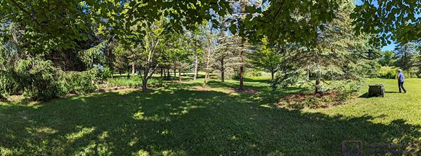
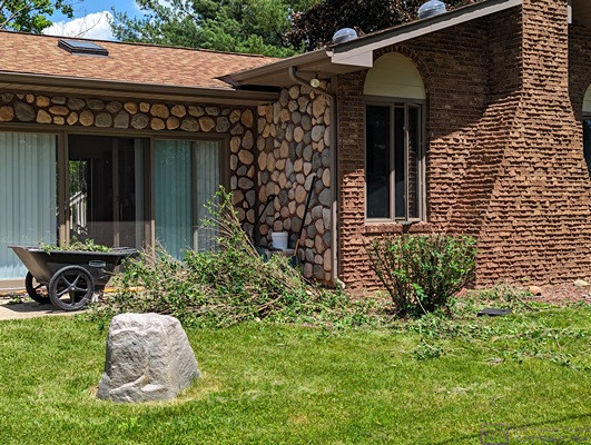
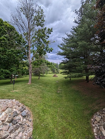
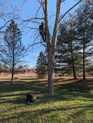
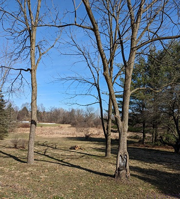
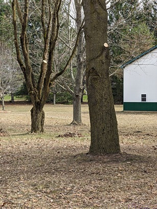
A composite of 7 images of the portion of our yard immediately west of our firepit. Note how the trees in the center of the frame, and farther back, have been trimmed up and cleared underneath. Linda is working on the tree on the right.
Dan was here by 7:15 AM and got right to work. He hoped to have the smaller garage door fully operational before he had to leave, but that did not quite happen. Not a problem for us, but it meant at least one more visit for him. He will, tentatively, be here again this upcoming Saturday morning.
Linda left around 8:15 AM to meet Diane at Kensington Metropark at 9 AM for their weekly walk. We are at the beginning of a heat wave, and they try to walk earlier if possible in such conditions. Once Dan was packed up and on his way, I went out briefly to get a breakfast treat. Back home, I started a load of laundry and enjoyed my treat while catching up on some Youtube videos.
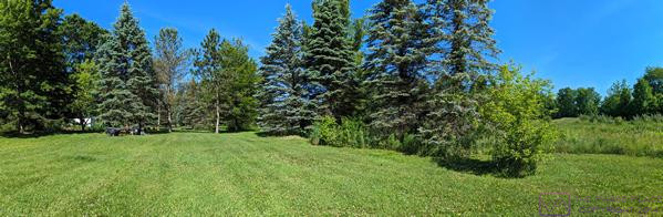
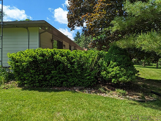
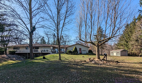
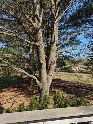
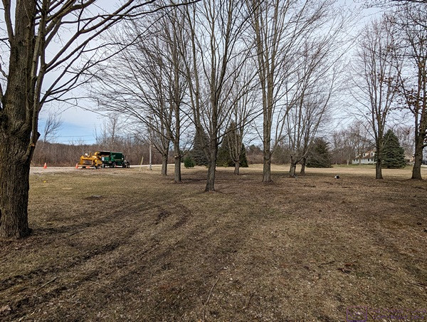
Another composite of 5 images of the portion of our yard NNW of our firepit. The line of trees from center to right in the frame are lined up approximately on an E-W line along a part of our north property line.
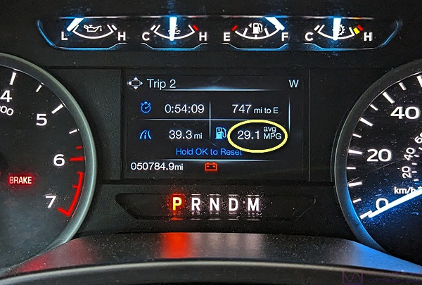
Breakfast done, and laundry purposefully sloshing around in the washing machine, I transferred gasoline from a 5-gallon can, for which I no longer have a spout, into one of my two 5-gallon plastic jugs (which do have pouring spouts) using a funnel. That left me with the other plastic jug needing to be filled, so I headed out again to fill the fuel tank in the F-150 along with the 5-gallon jug. That, in turn, required a trip to Meijer’s in Brighton, as they have a filling station which usually has very competitive prices, and Linda had processed a $0.50 off per gallon “M-Perk” using points she had accumulated doing our grocery shopping. The discount is limited to 30 gallons. The 5-gallon jug was empty and the F-150 was low enough on fuel that I needed very close to 30 gallons, so that worked out well. Traffic heading into Brighton on Grand River Avenue was backed up for a mile due to ongoing construction, so I made a U-turn and took a longer, but unimpeded route.
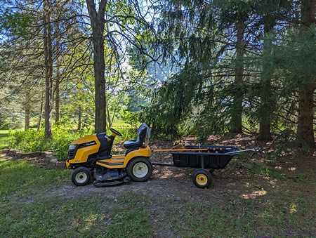
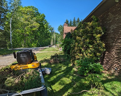
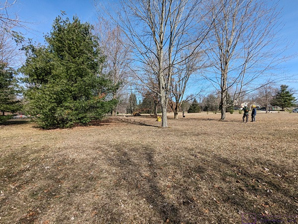
The lawn tractor and the dump trailer full of our various trimming and weeding tools. With the tools emptied out, I use this combo to haul material from around the property to the burn pile. It’s parked in the share just NW or our large stand of pines and firs.
Back home, I rearranged a few things in the garage so we could, once again, get both vehicles inside. With high temperatures in the mid-to-upper 80’s (F), and thunderstorms predicated for this evening, my preference was to have the vehicles inside.
…