Note: This post contains 13 photos. Photos by me (Bruce) taken with a SONY alpha 6400 or Google Pixel 6 Pro unless otherwise indicated. (Photos by Linda taken with a Google Pixel 6.)
SUNDAY 22 October 2023 — NTNP 5 of 14 — Tennessee-Alabama-Mississippi State Lines
Today was our full day at Fall Hallow CG/RVpark/B&B. The weather was nice, and we took advantage of it to further explore the section of the NTNP from here south a way, having explored from here north yesterday. Fall Hallow CG is in Hohenwald, Tennessee, but traveling south from here, the Trace cuts across the northwest corner of Alabama. The first photo below is for Pharr Mounds in Mississippi. Subsequent photos show the signs for the Mississippi and Alabama sides of their common border along the Trace.
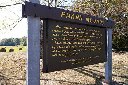
PHARR MOUNDS information sign describing the largest and most important native American archeological site in northern Mississippi. The pre-European tribes in this area where part of the much larger and more extensive Mississippian mound culture, whose center was in Cahokia, Illinois.
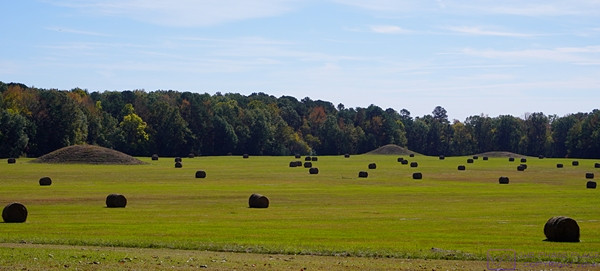
Ancient mounds co-exist with present day agricultural use of the land.
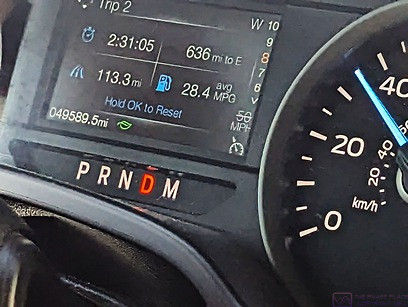
Part of the dashboard in our F-150. Yup, it shows an average fuel economy of 28.4 MPG. The F-150 is capable of this when not towing the trailer, the fuel tank has just been topped off, good driving, light traffic, and flat roads with no stops. (Photo by Linda)
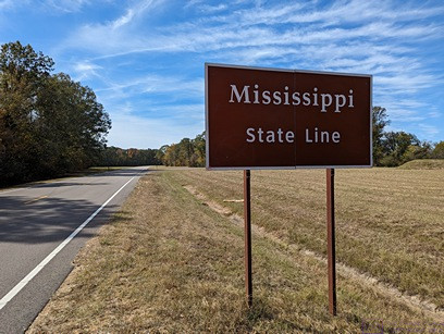
Crossing into Mississippi from Alabama on the NTNP.
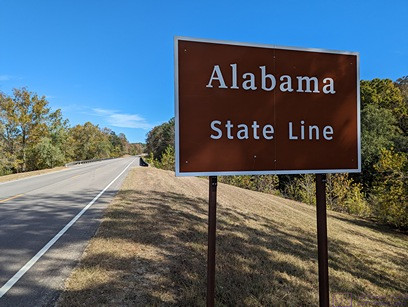
I walked to the other side of the road to photograph the matching sign entering Alabama from Mississippi on the NTNP.
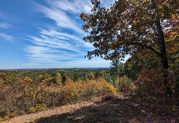
The terrain in this area was not all flat, and afforded views like this on occasion.
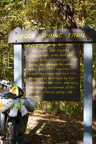
Information sign for ROCK SPRING TRAIL which crosses Colbert Creek and meanders through woodlands to get to Rock Spring. The sign indicates that since 1977 numerous beaver dams have been built here and subsequently destroyed by high water.
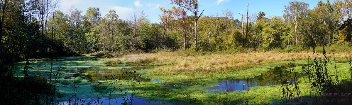
This panorama of Rock Spring is a composite of four images made with Microsoft Image Composer. The resolution if 1200×360 pixels, and can be displayed at full resolution on a device with a suitable monitor.
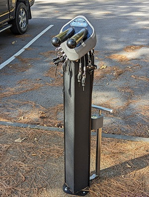
This is a bicycle repair station at one of the rest areas in this section of the NTNP. It has a “rack” for hanging the bike, all of tools one might need (suitably tethered to the post), and an air pump with integrated air pressure gauge. Although not yet mentioned in this series of blog posts, bicyclists were much in evidence all along the NTNP and this was not the only such repair stand that we saw. Most of the cyclists were self-contained. Some of them camped in the NTNP campgrounds while others stayed in motels just off the Trace.
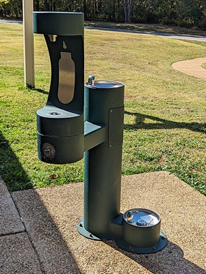
A all-purpose, 3-way water/drinking fountain at the same rest stop as the bicycle repair stand; Left portion for filling water bottles, center for drinking, and bottom right for “Fido.”
2
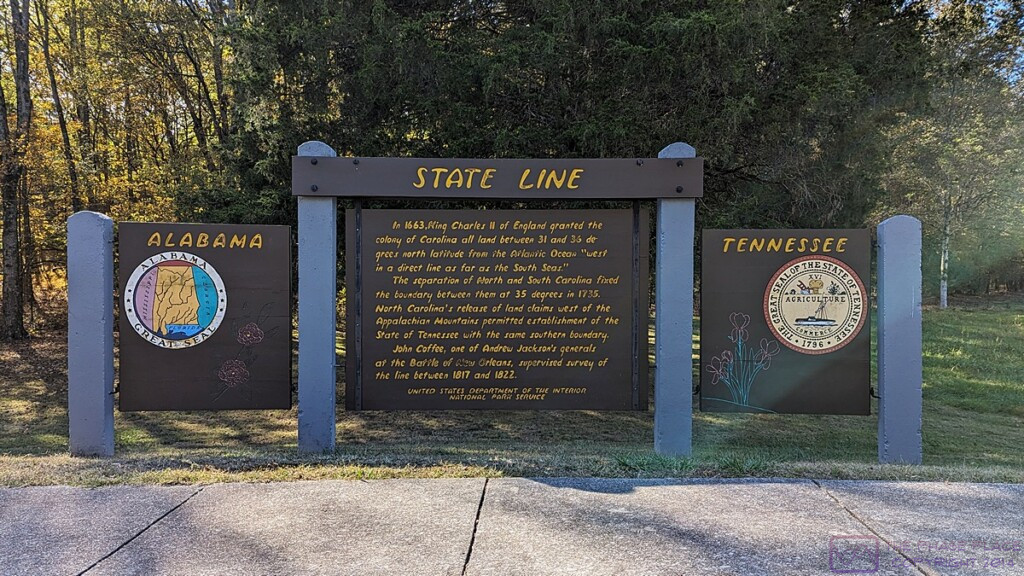
STATE LINE information signs. This set of signs describes the boundary between Tennessee (right, north) and Alabama (left, south). The image is 1200×675 pixels, and can be displayed at full size on a device with appropriate resolution.
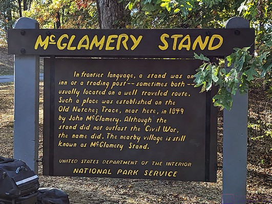
McGLAMERY STAND information sign. It says that “a stand was an inn or trading post—sometimes both—established along a well traveled route.” The one here was established in 1849. It did not outlast the Civil War, but the nearby village still retains the name.
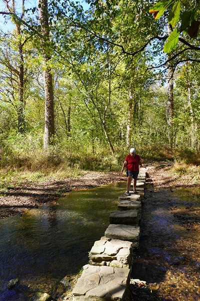
Linda picks her way carefully across a stone portion of trail where it crosses a very wet area.
…