Category Archives: Hawaii USA

20230915-16_T20-21_C17_Honolulu-Oahu-HI_Home

Note:  This is the 16th of 16 posts about our 21-day trip that included a 17-day (16-night) cruise on the Norwegian Cruise Line (NCL) ship SPIRIT from Vancouver, British Columbia north along the inside passage to Sitka, Alaska, and then across the North Pacific Ocean to the Hawaiian Islands, before ending in Honolulu, Oahu.  This post has 13 photographs with captions and some narrative.  Photos by me (Bruce) taken with SONY alpha 6400 or Google Pixel 6 Pro unless otherwise indicated.  (Photos by Linda taken with a Google Pixel 6.)


FRIDAY 15 September 2023 — (T20-21,C17) Honolulu, Oahu, Hawaii and home

This was the 20th day of our trip, and the 17th and final day of our cruise.  We arrived in the early morning hours at the cruise port in Honolulu, Oahu, our final port-of-call in the Hawaiian Islands.  (It was a 21-day trip in total, as we would not arrive back at our home in Michigan until the following day, but I cover a few highlights of that at the end of this post.)

On the last day of a cruise, passengers must disembark fairly early in the day so the crew can “turn the ship around” and get it ready for the next set of passengers, who will start their embarkation by late morning.  When leaving from and returning to ports in the continental USA, we can usually arrange flights back to Michigan that allow us plenty of time to get to the airport without having to wait too long to board our plane after getting there.  In the case of this cruise, however, the most “reasonable” flight we could book departed at around 5 PM local time.  That meant we had to figure out what to do during the day, which included what to do with our luggage, a not insignificant issue.

The easiest solution was to book a motorcoach shore excursion that included transportation to the Honolulu International Airport, with our luggage safely stored onboard the motorcoach until we were dropped off at our terminal.  Yes, pre- and post-cruise shore excursions are a “thing,” as are pre- and post-tour transportation options.  Actually, any service a cruise line can provide, or product they can sell, to extract a bit more money from their customers is a thing.  In this case, however, it was an excellent option for us.  Although we had been to Pearl Harbor on our last visit to Hawaii, it was the shore excursion that best met the needs of passengers, like us, with flights departing after 3 PM local time.  And so, we went to Pearl Harbor.

Although still very much an active military base, the Pearl Harbor National Memorial is an interesting, historically important, and somber place that draws some 2 Million visitors every year.  Perhaps we were just tired from the cruise, but it seemed like half of those people were there today, or perhaps just half of the people from our cruise ship.  They weren’t, of course, but the place did seem crowed.  Since we had already seen many of the major sites that make up the National Memorial, we were not motivated to spend more money beyond our entrance fee just to stand in lines and deal with crowds to try to see them again.  We decided to just stroll the grounds instead, read placards, take a few photos, and find something to eat.  Our biggest problem was finding someplace to sit (at all, never mind comfortable) and stay out of the sun.  As we’ve gotten older, however, I think we’ve gotten better at just quietly “passing the time” when we find ourselves in situations that require it, or at least benefit from adopting that attitude.

Here are a few photos from that day, followed by an epilogue to wrap up our 21-day trip.
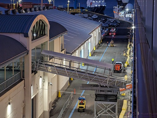
 

Our ship was already at the dock when I took this photo around 6 AM local time.


I am always interested in structures, machines, etc.  Shown here is a service ramp that has already been deployed from the terminal to the ship.
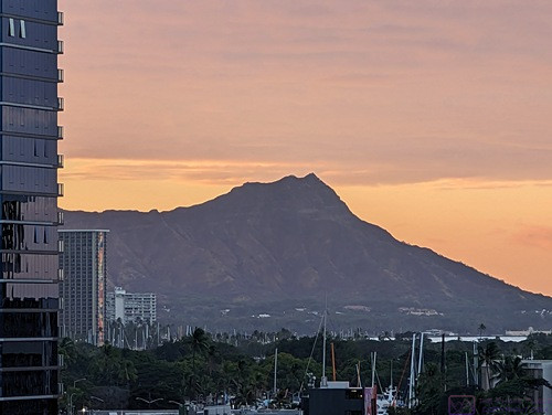
 

The famous Diamond Head (extinct volcano) at the far east end of Waikiki Beach, backlit by the sunrise around 6:30 AM.
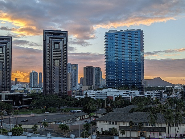
 

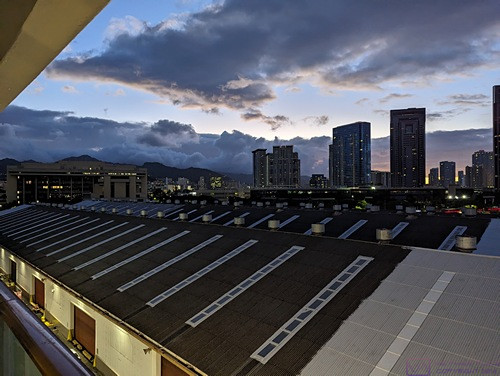
Another view looking towards Diamond Head, which is towards the right edge of the frame at the horizon, showing some of the skyscrapers in this part of Honolulu.  These could be hotels, apartment/condos, or office buildings.  (Photo by Linda)
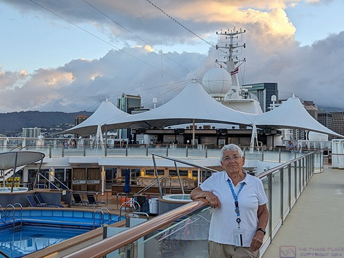
 

Since we had to disembark early, we were up and dressed early to get a bite to eat and have one last stroll around the ship.  At ~6:30 AM we had the walking track on Deck 13 (ABIR) to ourselves.  The pool has been covered with netting to keep people out, or catch anyone who might fall in.
 

A panorama composited from five (5) images of the harbor off the port side of the ship.


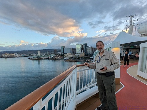
Another early morning photo from the starboard side walking track with the harbor behind Bruce.  (Photo by Linda)


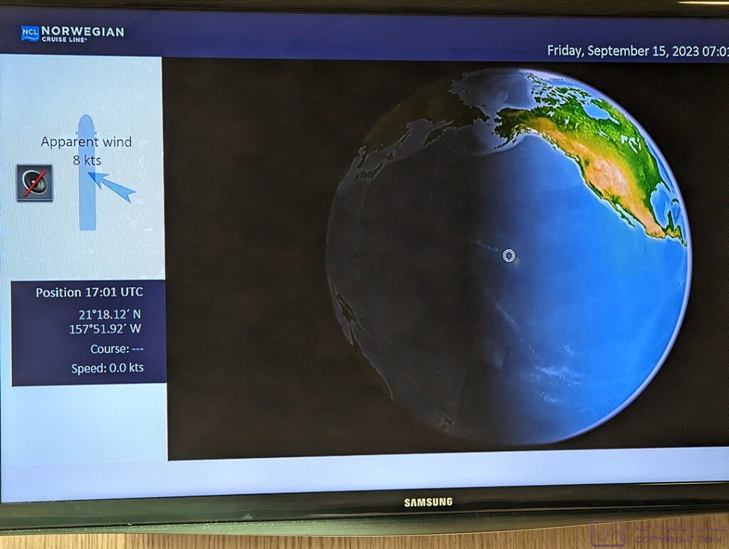
Yes, this is a photo of the TV screen in our stateroom.

Regarding the above photo, the left side of the screen clearly shows the time to be 17:01 UTC and the upper right corner shows the time to be 07:01 (local) establishing the 10-hour time difference between Honolulu and Greenwich, England (where Greenwich Mean Time (GMT) and UTC are usually the same).

UTC (Universal Time Coordinated) is a time standard that never changes (no daylight savings time nonsense), while GMT is a time zone, in which Greenwich, England is located.  We live in the Eastern Time zone (EST or EDT, depending on the time of year), which is UTC minus 5 this time of year (Daylight savings time was still in effect in the USA).  By the time we arrived back in Michigan, our plane (and us) had been in six (6) time zones over ~ 9-1/2 hours in the air.

The screen also shows our position at 21 degrees 18.12 minutes North Latitude and 157 degrees 51.92 minutes West Longitude.  Linda captured an image (not shown here) of the lower left corner of the screen indicating that our total distance traveled (in the ship) was 4,502 nautical miles (5,180.8 statute miles).  The flight distance from DTW (Detroit) to YVR (Vancouver) is ~1,959 miles, and the flight distance from HNL (Honolulu) to DTW (Detroit) is ~ 4,475 miles.  Thus, the total distance traveled on this trip, not including excursions, was ~ 11,614 statute miles, or ~553 miles per day on average.
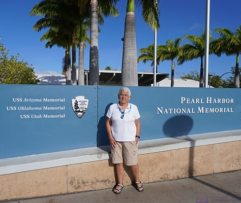
 

Welcome to the Pearl Harbor National Memorial, which includes Memorials for the USS Arizona, USS Oklahoma, and USS Utah, all lost on the December 7, 1941 attack on Pearl Harbor.
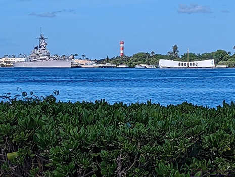
 

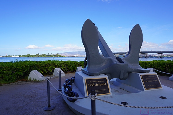
An anchor that was salvaged from the USS Arizona.


The low white building with the curved roof is the USS Arizona Memorial.  It straddles the ship in its final resting place and has a glass floor, allowing visitors to view the remains of part of the ship.  We visited this Memorial on our previous visit.  (Photo by Linda)
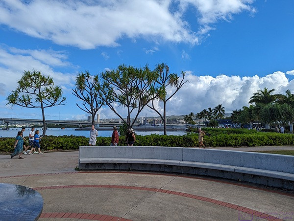
 

A circular courtyard that surrounds a relief map of Pearl Harbor, and has plaques with the names of the lost, provided some place to sit and contemplate the events of the day that pulled the USA into World Ward II.  (Photo by Linda)
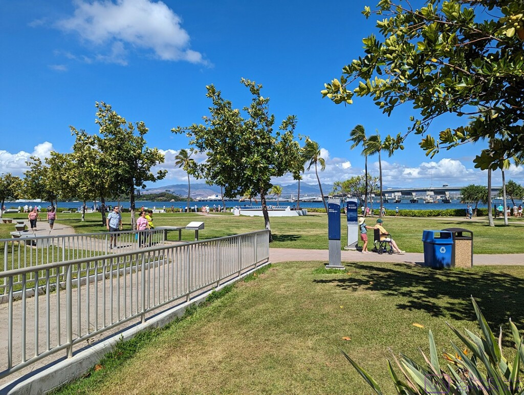
 

A broader view of the grounds at the Pearl Harbor National Memorial.  The USS Arizona Memorial is visible at the left edge of the frame.  The site is beautifully maintained, as you would expect, and is accessible for those visitors with mobility issues.  I think the exception is the submarine tour, as it involves climbing stairs and, ABIR, ladders.  We toured the submarine on our previous visit to the National Memorial.

…..


Epilogue (T20-21) — Friday evening 15 September & Saturday 16 September

With our drop-off at the Honolulu International Airport around 3 PM, our NCL SPIRIT cruise was officially concluded.  We were no longer “cruisers,” just ordinary travelers waiting to fly home.  The drop-off point was a “back” entrance to the terminal and it was a bit confusing at first figuring out where to go once we were inside.  But we figured it out in short enough order, and began the process of checking our two larger suitcases, clearing through the TSA checkpoint, finding our gate, and waiting to be called to board the airplane.  The airport was busy;  the Hawaiian Islands are a popular tourist destination, and Honolulu International Airport is the major way most people arrive and depart.

Time zones are fascinating, and while travel across them can be interesting, it can also be challenging, especially as regards sleeping.  (As noted in several posts, I’ve also had an issue merging photos from three different devices in correct chronological sequence.  This has been due to different devices using different time references when naming and tagging image files.)  ABIR, our Delta Airlines flight was scheduled to depart at around 5 PM Honolulu time.  At 5 PM in Honolulu, it was already 10 PM in Detroit, Michigan, and within a couple of hours of taking off, it was Saturday, 16 September at home.

We had an approximately 4,500-mile trip ahead of us at an average (air) speed of ~500 mph, so roughly a 9-hour flight plus a 30-minute allowance for ground operations (takeoff and landing combined).  The actual time, gate-to-gate, could have been more or less depending on prevailing wind speeds and directions at flight altitude (which tend to be from west to east, so a favorable tailwind), or the need to detour around severe weather.  That put our estimated time of arrival at Detroit Metropolitan Airport (DTW) at 6:30 AM local time.  Realistically, that meant we should be off the plane, luggage collected, and ready for pickup by around 7:30 AM, but I no longer recall exactly what time we reached the gate.  Early, in any event, but not hugely inconvenient for our son, who lives about 30 minutes from the airport, and had agreed to fetch us upon our arrival.

As with past cruises, we had one of our children take us to the airport and pick us up upon our return.  That has usually been our daughter, but for this trip it was our son.  We drove our F-150 to his house on departure day and he chauffeured us from/to there.  Part of the reason for this, was that he and his wife wanted to get the truck “detailed” while we were away.  They had borrowed it during the summer, along with the Airstream travel trailer, to use for a family vacation and wanted to get it cleaned up as a “thank you” for letting them use it.  We did not expect them to do this, of course, but we were not going to say “no” either.  They also live closer to the airport than our daughter does.

Back at his house the rest of the family was awake, so we got to see our two youngest grand-daughters and tell everyone a little bit about our trip.  We eventually left for home and arrived to find Cabella (the cat who is not our cat, or so we say) waiting for us, even though she had lived outside for the entire duration of our trip.  (She is an outside cat who has become an outside/inside cat while we are trying to figure out how to take care of her in a way that works for her and us.)  Our neighbor, Mike, had kept an eye on the house (and the cat) while we were away, making sure she had water and refilling her automatic food feeder as needed.

I always like to launder all of the clothes we have had with us on any trip (short or long), but that was a task that would wait until tomorrow and get spread over a couple of days so as not to overload the septic system (or me).  What could not wait, was putting the water treatment system back in full operation.  I shut it off whenever we are gone for more than few days so the tanks do not regenerate, which puts a lot of water into the sump.  I recall that we talked about stopping at a Panera to get something to eat, but I don’t recall what we actually did for lunch or dinner.  I suspect we found something to eat for dinner in our refrigerator and/or panty as Linda usually plans for that when we go on shorter trips.  We had, after all, eaten out every meal for the last 21 days.  For longer trips, we try to use up any fresh food before we leave.

20230914_T19-C16_Hilo-Hawai’i-Hawaii

Note:  This is the 15th of 16 posts about our 21-day trip that included a 17-day (16-night) cruise on the Norwegian Cruise Line (NCL) ship SPIRIT from Vancouver, British Columbia to Honolulu, Oahu.  This post has 20 photographs with captions and some narrative.  Photos taken by me (Bruce) with a SONY alpha 6400 or Google Pixel 6 Pro unless otherwise indicated.  (Photos by Linda taken with a Google Pixel 6.)


THURSDAY 14 September 2023 — (T19,C16) Hilo, Hawai’i, Hawaii and Mona Kea

This was the 19th day of our trip, and the 16th day of our cruise and saw us arrive in the cruise port at Hilo, Hawai’i (the Big Island), Hawaii (the State of).  Our main activity was a shore excursion that stopped at Rainbow Falls Lookout before taking us to the observatories atop Mona Kea (also spelled “Muanakea”).

At 13,803 feet (4,207.3 m) AMSL, which is also its “wet prominence,” the summit of Mona Kea (Muanakea) is the highest point of land in the Hawaiian Islands, and the second highest island mountain summit on earth.  From Wikipedia:  “Because the Hawaiian Islands slope deep into the ocean, Mauna Kea has a dry prominence of 9,330 m (30,610 ft) (it’s height if the ocean was “drained” of water. This dry prominence is taller than Mount Everest’s height above sea level of 8,848.86 m (29,032 ft), so Everest would have to include whole continents in its foothills to exceed Mauna Kea’s dry prominence. …”  The highest summit on an island is Puncak Jaya in New Guinea, Indonesia, which stands at an impressive elevation of 4,884 meters (16,024 feet) above mean sea level.


Our first view of Hawai’i (the Big Island) and Mona Kea.  This panoramic photo is a composite of five (5) images.  Mona Loa is just visible at the left edge of the frame.


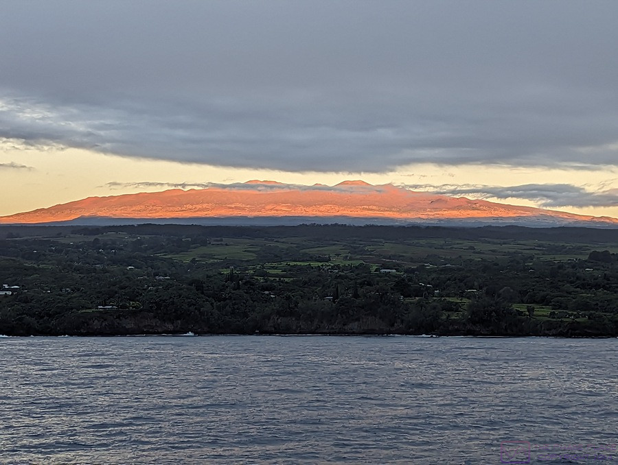
Sunrise lights up Mona Kea as the NCL SPIRIT slowly motors towards the cruise port in Hilo, Hawai’i, Hawaii.  The photo is 900×678 pixels and can be viewed at full-resolution on compatible devices.  (Photo by Linda)


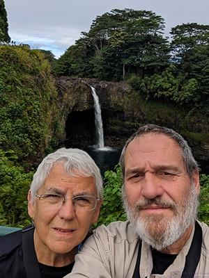
A selfie at Rainbow Falls Overlook in Hilo, Hawai’i, HI.


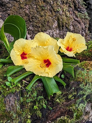
A flower along the trail at Rainbow Falls Overlook.  (Photo by Linda)


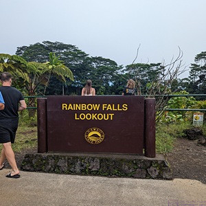
We always try to take a photo of signs to identify where we are.  If we can get a photo with a clock in it, so much the better as it helps me time sync photos to local time.  (Photo by Linda)


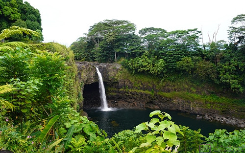
Rainbow Fall in Hilo, Hawai’i, HI.


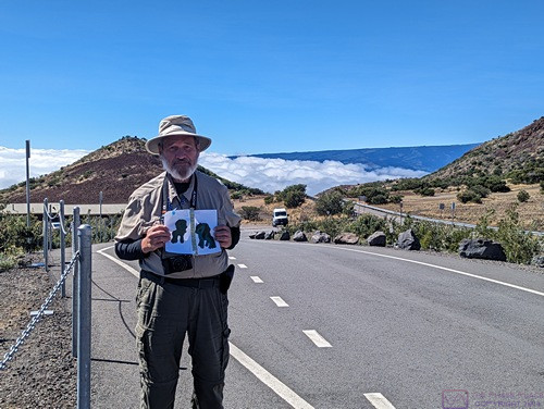
I’m holding grand-daughter Sadie’s “Apa and Ama” artwork to mark our location at the Mona Kea ranger station / store (the building behind me).  We are already at/above the level of the clouds.


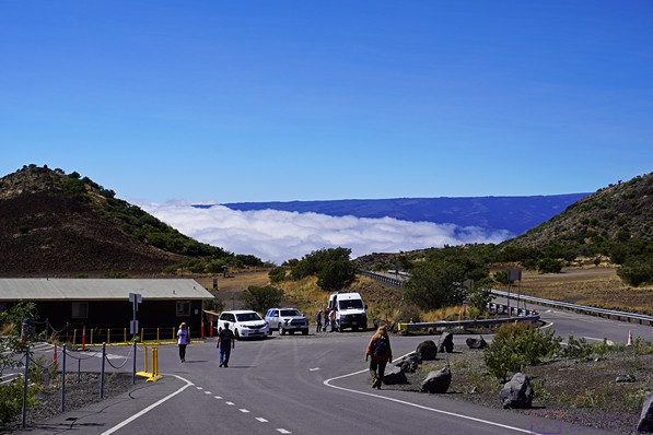
The Mona Kea ranger station/store/museum with our tour van in the front parking lot.  From a web search:  “The Onizuka Center for International Astronomy Visitor Information Station (VIS) on Maunakea is open every day of the year from 9am to 9pm.  Located at the 9,200 foot (2,804 meter) level, they provide health, safety, and other information about Maunakea along with access control.  The road up the mountain is open to any/all visitors up this building.  Beyond this point, permission is needed and a 4-wheel drive vehicle is required.  Our tour van met both of those criteria.


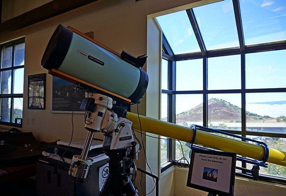
The VIS has a store with various Mona Kea and astronomy related merchandise.  It is also a small museum focused on telescopes and other things astronomical.


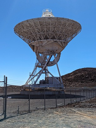
One of the radio telescopes on top of Mona Kea.  (Photo by Linda)


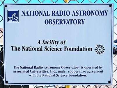
The National Radio Astronomy Observatory is a joint operation of several universities under the auspices of the National Science Foundation.


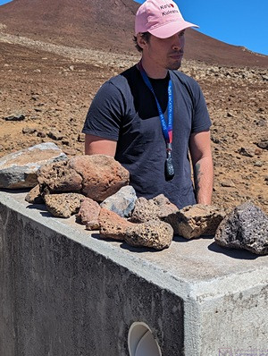
Our tour guide presents information on the various rocks that make up Mona Kea.  (Photo by Linda)


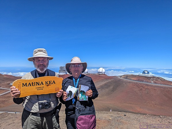
Our tour guide had a Mauna Kea (Mona Kea) sign for photo ops for his customers.  Linda is holding grand-daughter Sadie’s “Apa and Ama” artwork.  (Photo taken with Linda’s phone, but obviously taken by someone else, probably our tour guide.)


A panoramic view of several telescopes made using the panorama feature of the Pixel 6 Pro.   This photo file is 1080×271 pixels and can be viewed at full-resolution on compatible devices.


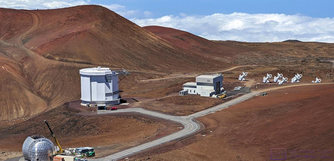
This is a composite of two (2) images, showing several different types of telescopes on Mona Kea, how they are situated, and the road(s) that are used to access them.  Not all of the telescopes have a 360-degree clear view of the horizon.  They are situated based on available real estate and what part of the sky they need to be able to see.


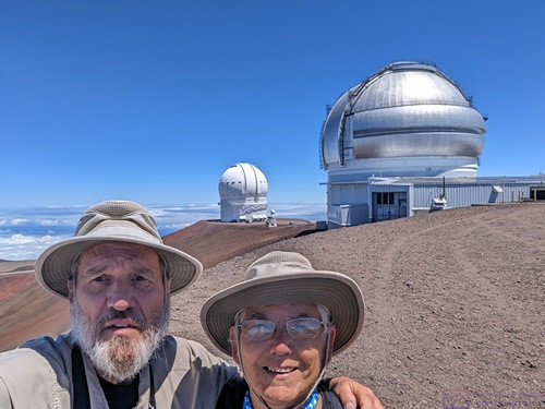
By now it should be obvious that we were there, but here’s another selfie, just to prove the point.


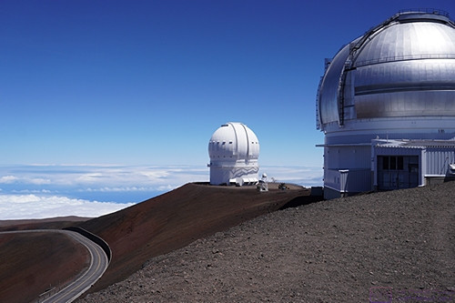
The same two observatories as the previous photo without us in the frame.


This panorama is a composite of eight (8) images.  The photo file is 1920×363 pixels, so there is a lot of detail that can be seen on a device with appropriate screen resolution.  There are at least 15 telescopes of various kinds visible in the image, along with a portion of the amazing road system that winds up to and around the observatories and support buildings.


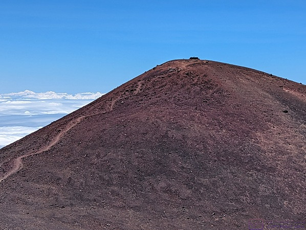
Last, but not least, a photo of the actual summit of Mona Kea, several hundred feet above where we are standing, and higher than the highest observatory on the mountain.  Why?  Because the summit is a sacred site to indigenous Hawaiians that is used for special ceremonies throughout the year.  As such, it is not open to the public at any time.


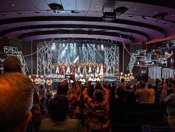
We are back on the ship in the theater at the conclusion of the evening’s entertainment at ~10:15 PM.  If was the final ensemble performance of the cruise and featured most of the performers who had entertained us throughout the last couple of weeks.  The performances were of a high enough caliber that we were always entertained.  This final performance was over, so cameras where very evident as passengers tried to capture the celebratory moment.  I took this photo to provide some context for the look of the theater.

20230913_T18-C15_Kahului-Maui-HI

Note:  This is the 14th of 16 posts about our 21-day trip that included a 17-day (16-night) cruise on the Norwegian Cruise Line (NCL) ship SPIRIT from Vancouver, British Columbia to Honolulu, Oahu.  This post has 20 photographs with captions and some narrative.  Photos by me (Bruce) using a SONY alpha 6400 or Google Pixel 6 Pro unless otherwise indicated.  (Photos by Linda taken with a Google Pixel 6.)


WEDNESDAY 13 September 2023 — (T18,C15) Kahului, Maui, Hawaii

Our ship arrived in the harbor at Kahului, Maui early this morning.  As was well-reported in the news, Maui had recently suffered a devastating fire in and around Lahaina.  This obviously impacted some of the planned shore excursions, but we did not detect anyone being upset about changes in planned offerings.  Indeed, tourists were being encouraged to visit Maui and support the local economy, but the Lahaina area was obviously off limits.  Any disappointment for cruise passengers was inconsequential compared to the loss and suffering of the impacted islanders.

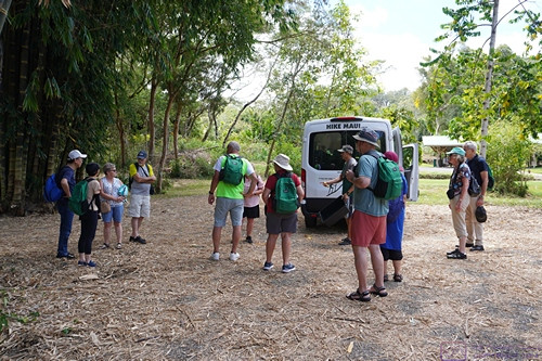
Our main activity today was a shore excursion with “Hike Maui” east along the first portion of “the road to Hana.”  We were transported in vans and had an excellent tour guide.  There was a lot of walking, but it was mostly easy and it was nice to get off the ship and use our legs to walk around town and in the woods.


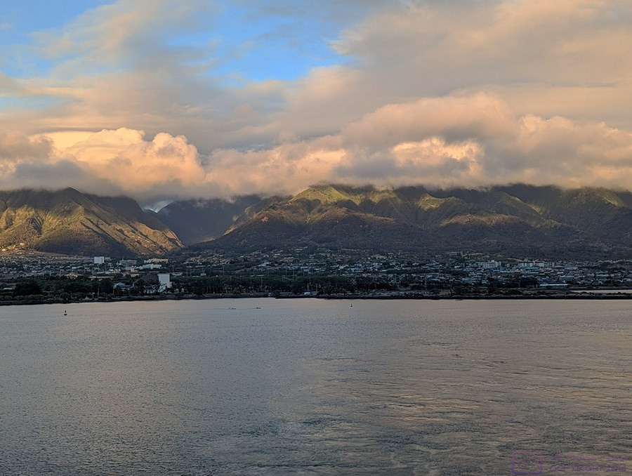
The NCL SPIRIT approaches Kahului, Maui, Hawaii at sunrise.  (Photo by Linda)


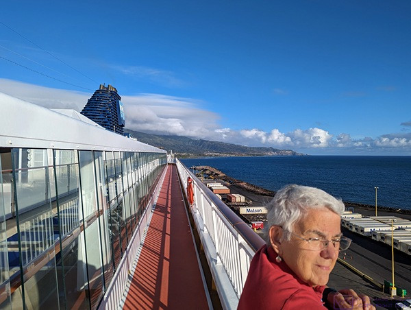
Linda soaks up the sunrise as it floods the port side of the ship inbound to Kahului, Maui.


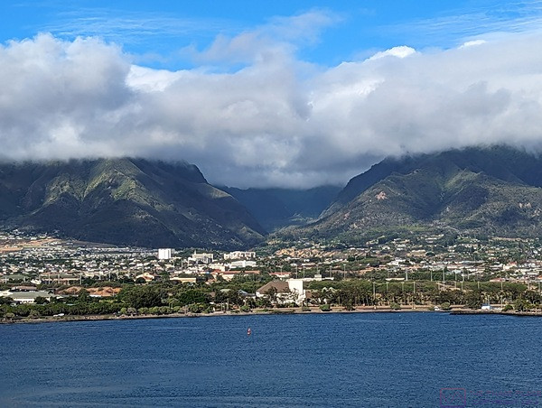
The mountains loom behind Kahului, Maui and make their own weather, as mountains are want to do.


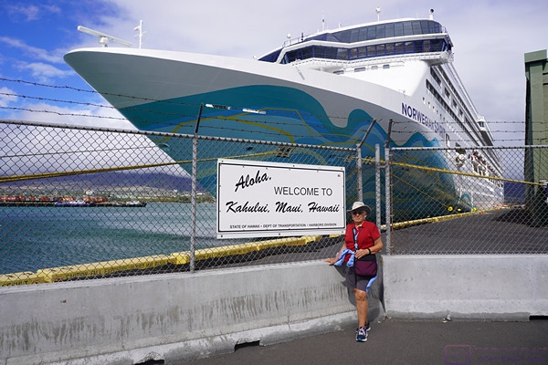
This sign says it all:  “Aloha, Welcome to Kahului, Maui, Hawaii” with the NCL SPIRIT in the background.  We enjoyed our time on this ship.  It’s the smallest ship in the NCL fleet, but it’s still pretty big.


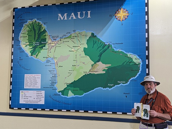
I hold Sadie’s “Apa and Ama” artwork by a large map of Maui, Hawaii.  Notice how the island resembles a person in lying on their side with the head at the upper left and facing down and slightly left.  The cruise port at Kahului is in the curve of the neck on the back (north/upper) side.  Most of the head is high mountains.  The town of Lahaina, which suffered the worst of the recent fire, is more or less directly opposite Kahului on the other side of the central mountains.  Travel to that area was not allowed, of course, as the area is still recovering and rebuilding.  (Photo by Linda)


From a web search:  Maui is an island formed by two volcanoes: Haleakala and Mauna Kahalawai. Haleakala is a 10,000 foot shield volcano that means “House of the Sun” and had its recent eruptions between 1480 and 1600.  Maui is an island formed by two volcanoes: Haleakala and Mauna Kahalawai. Haleakala is a 10,000 foot shield volcano that means “House of the Sun” and had its recent eruptions between 1480 and 160012. Mauna Kahalawai is an eroded shield volcano also known as the West Maui Mountains (the “head”) that last erupted 320,000 years ago. Maui does not have any active volcanoes, unlike Hawaiʻi Island, which has two of the world’s most active volcanoes: Kīlauea and Maunaloa.


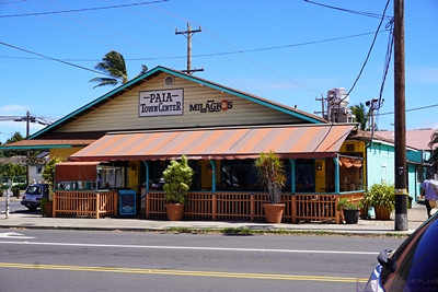
We went on a shore excursion with “Hike Maui.”  Our first stop was the town of Paia.  From a web search:  Pā’ia is  a census-designated place on Maui, Hawaii with a population of 2,470 as of the 2020 census.  It is home to several restaurants, art galleries, surf shops and other tourist-oriented businesses. It was formerly home to the Hawaiian Commercial & Sugar Mill from 1880 to 2000.  Pā’ia is the first town on the Hana Highway when heading eastbound towards Hana.  It was cute, inviting, and very walkable.  “Surf shops” were much in evidence.


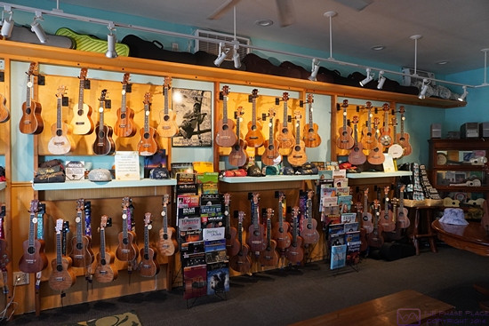
We came across a ukelele shop while strolling around downtown Paia.  Yes, Ukuleles really are a thing in the Hawaiian Islands, and this shop had a lot of them!  They were all exquisite instruments whose craftsmanship was obvious, and are sold to customers all over the world.  They ranged in price quite a bit but some of them were, as you might expect, very expensive.


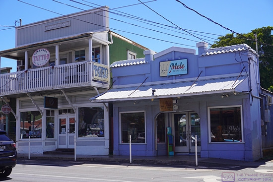
The front façade of the Mele Ukulele shop.  I had a nice conversation with the owner, as much about photography and cameras (he was also a SONY shooter) as about ukuleles and living on tropical paradise island.


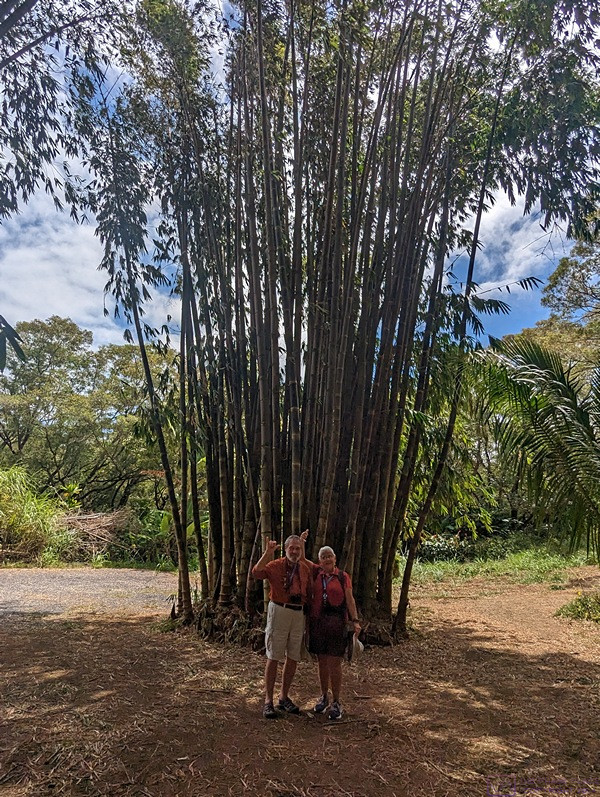
“Hike Maui” has taken us to a bamboo grove.  Much of the bamboo was very tall, as shown in the next photo.  The tour provided water and a light lunch, which was appreciated.


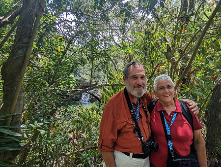
The tour guide used Linda’s Pixel 6 to take this photo in which we are dwarfed by a stand of bamboo.  It was nice to have a photo of the two of us that wasn’t a selfie.  (Photo by Linda, sort of)


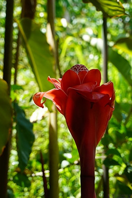
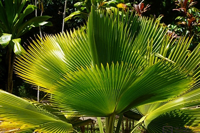
The plant life in Hawaii is remarkable; unique, diverse, beautiful and fragile (to outside negative influences).


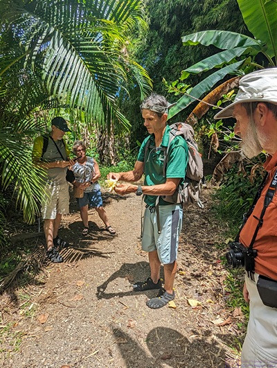
Our tour guide stops to explain some plant life along the trail.  (Photo by Linda)


I just liked this plant, photographically:  An interesting backlit pattern in contrasting shades of green.


We pause on our way to the waterfall and wading pool for photo op.  (Photo by Linda’s phone, but someone else obviously took the photo.)


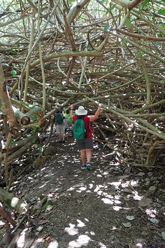
On part of a hike to a small waterfall and swimming hole we had to go through this tunnel of twisted branches.  This was one of just many interesting things that were part of the hike.


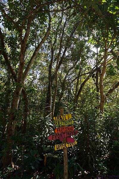
We always appreciate good signposts to help us get where we need to go.


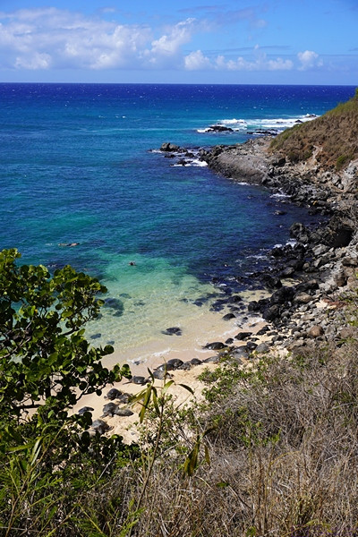
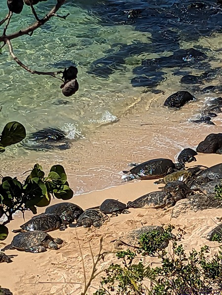
This view seemed to be quintessentially Maui; a rugged coast with a white sand beach set off by beautiful blue and green water and a blue sky with some puffy clouds.  If you look carefully at the white sand beach, you will also see a large gathering of very large sea turtles.


A zoomed in view of a section of the beach showing the very large sea turtles resting on the sand.  This section of the beach was closed off and posted “No Admittance” but we saw people ignoring that, both from land and from the sea.  (Photo by Linda)


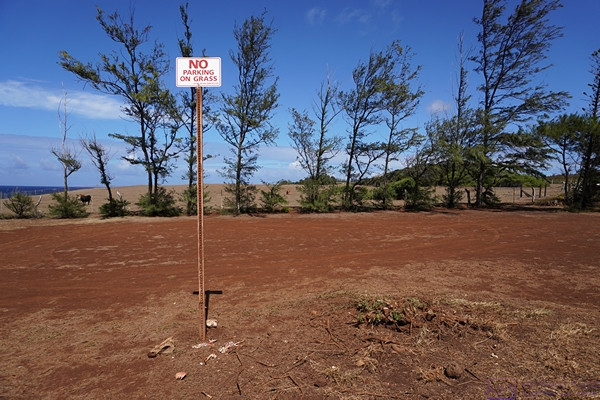
I included this photo to show that Hawaiians’ also have a sense of humor.


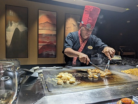
We are back on the ship and having diner around 7:30 PM.  We did not do specialty dining very often, but we got two dinner meals as part of our fare, so we apparently used our second one this evening to dine at Teppanyaki, the Japanese table side grill.  The food was excellent and the chef was very entertaining.  (Photo by Linda)

20230912_T17_C14_At-Sea_in_Hawaii

Note:  This is the 13th of 16 posts about our 21-day trip that included a 17-day (16-night) cruise on the Norwegian Cruise Line (NCL) ship SPIRIT from Vancouver, British Columbia to Honolulu, Oahu.  This post has 4 photographs with captions and some narrative.  Photos were taken by me (Bruce) using a SONY alpha 6400 or Google Pixel 6 Pro unless otherwise indicated.  (Photos by Linda taken with a Google Pixel 6.)


TUESDAY 12 September 2023 — (T17,C14) At-Sea from Nawiliwili, Kauai to Kahului, Maui, Hawaiian Islands

Our ship spent last night at the dock in Nawiliwili.  This allowed for extended time ashore, although we did not avail ourselves of that opportunity as we already had a long day ashore.  We departed Nawiliwili late morning, so there might have been some morning shore excursions today.  If so, we did not sign up for one.   Our next port-of-call was Kahului, Maui with arrival scheduled for early tomorrow morning.  As such, this would essentially be a partial sea day with an overnight sail and early morning arrival, as usual.


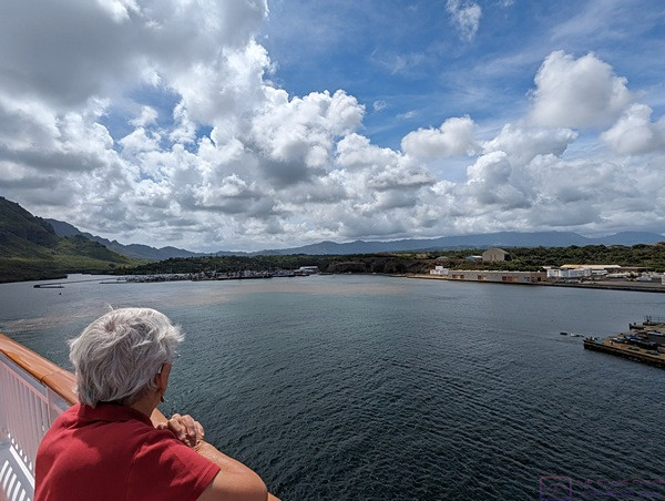
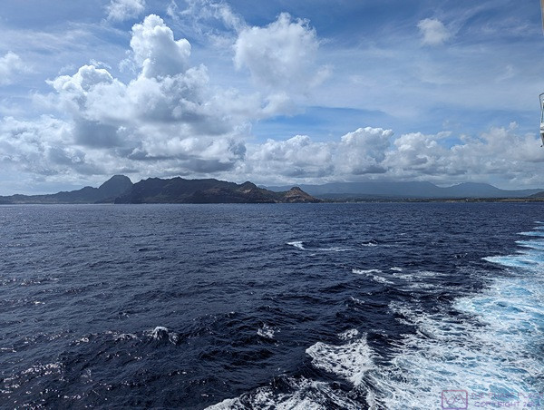
A last look at the harbor in Nawiliwili, Kauai, Hawaii as the NCL SPIRIT moves away from the dock.


One last look at Kauai before going to lunch and settling in for the overnight cruise to Maui.  (Photo by Linda)


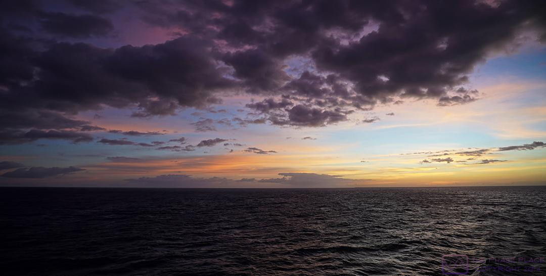
A 2-image composite photo of this evening’s sunset.  (It’s been post-processed to bring out some of the color.  I hope I didn’t overdo it.)


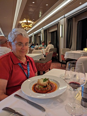
Based on the timestamp (05:39 on the 13th, so ~ 7:40 PM today), we had dinner a bit later than usual this evening.  This photo indicates that we dined at “Onda by Scarpetta,” the Italian specialty restaurant on the NCL SPIRIT.  Linda seems pleased with what has been set in front of her.  ABWR, the meal was excellent, as it has been with every specialty restaurant meal we have had on NCL ships (the main dining rooms food has also been quite good).  I think we went to the late performance in the theater afterwards, but photos/videos are not allowed during performances (even though we always see people taking them).  Not that I would take them anyway; we go there to relax and be entertained.


20230911_T16-C13_Nawiliwili-Kauai-HI

Note:  This is the 12th of 16 posts about our 21-day trip that included a 17-day (16-night) cruise on the Norwegian Cruise Line (NCL) ship SPIRIT from Vancouver, British Columbia to Honolulu, Oahu.  This post has 26 photographs with captions and some narrative.  I think I finally figured out the file naming/numbering scheme used on the Google Pixel 6 / 6 Pro phones and how to relate that to the EXIF date/time stamps on the phone and SONY a6400 photos.  Which is to say, the photos in this post should be in the correct chronological order and I know what time of day (local) they were taken.  Photos taken by me (Bruce) using a SONY alpha 6400 or Google Pixel 6 Pro unless otherwise indicated.  (Photos by Linda taken with a Google Pixel 6.)


MONDAY 11 September 2023 — (T16,C13) Nawiliwili, Kauai, Hawaii and McBryde National Tropical Botanical Garden.

After spending five (5) nights, four (4) full days, and part of two (2) other days crossing the North Pacific Ocean, we finally sighted land early this morning.  It was the 16th day of our trip, and the 13th day of our cruise.  By 6:30 AM we were making our way into the harbor at Nawiliwili, Kauai, Hawaii, but we sighted land well before that.  Although I had been to Hawaii once before, and Linda had been here twice, It would be our first visit to this island, as well as to Maui, and we were excited to see them.

Our main activity today was a shore excursion to the McBryde National Tropical Botanical Garden (McBryde Garden or MNTBG), with a stop along the seashore on the way there.  Our guide for the tour of the Garden was a former director of the facility.  It was obvious that he really knew his stuff, and still had a great passion for all things botanical.


The NCL SPIRIT enters the harbor at Nawiliwili, Kauai, Hawaii.  (Photo by Linda)


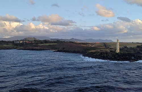
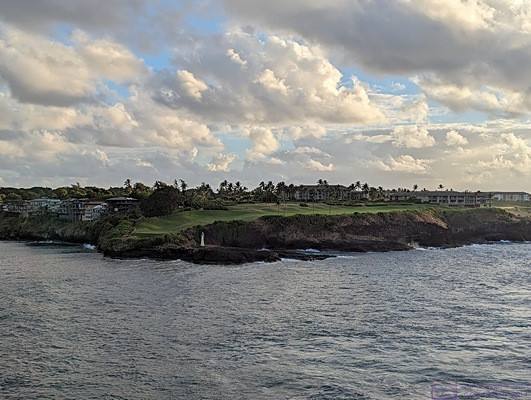
A golf course at the entrance to the Nawiliwili, Kauai harbor.  Almost makes me want to take up golf.  Nope.


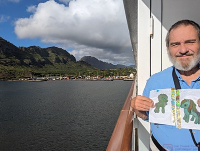
The “Apa and Ama were here” photo from the harbor at Nawiliwili with the marina and mountains behind.  (Photo by Linda)


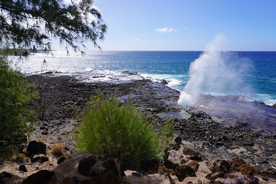
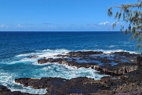
A scenic stop along the coast on our drive to McBryde Garden.


Another photo from the scenic stop, looking in the other direction up the coast.  (Photo by Linda)


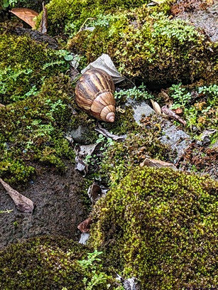
Life seems to be everywhere in the Hawaiian Islands.  (Photo by Linda)


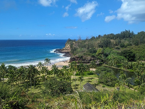
Another scenic stop, this time after entering the McBryde National Tropical Botanical Garden property.  (Photo by Linda)


The contrast of colors and textures caught my eye.  MNTPG.


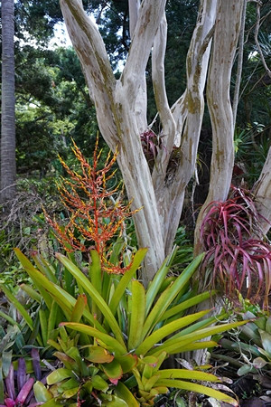
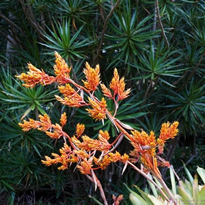
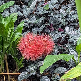
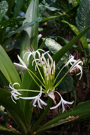
An interesting flowering plant at the MNTBG.


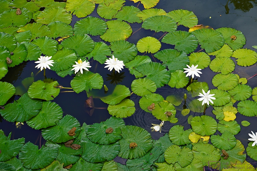
There are small frogs on the Lilley pads at MNTBG.  (This photo is 900×600 pixels.  Click to view full size on an appropriate device.)


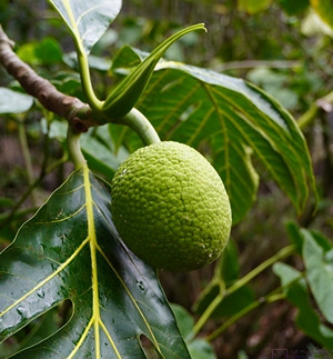
This fruit was larger than appears (the leaves were really big!).  MNTBG.


We don’t see plants like this back in Michigan, except in greenhouse environments.  MNTBG.  (Photo by Linda)


The variety of green plant leaves provides a nice backdrop for the very colorful flowers at the MNTBG.  (Photo by Linda)


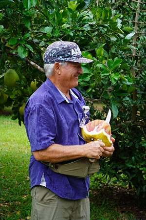
Our guide for the McBryde Garden tour was a former director of the NTBG.  He was very knowledgeable, and clearly still had a deep passion for plants and for the Garden.  Here he is cutting up a large piece of fruit, which grows there, so we can all try a piece.


A “walled” garden space at MNTBG, with the walls made of plants.


Another interesting plant at MNTBG.


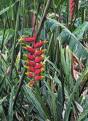
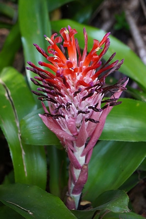
And yet another interesting plant in flower at MNTBG.


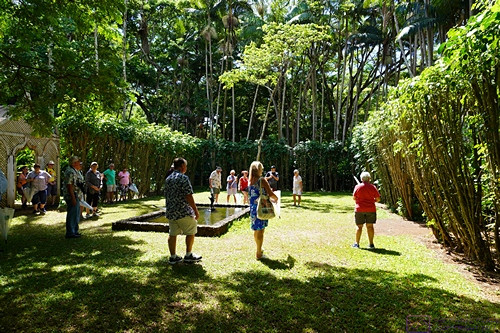
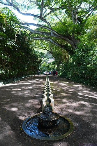
Much of McBryde Garden had a very natural look and feel.  There were places, such as this courtyard, that were clearly designed and built to provide architectural elements within the landscape.  The wavy structure down the center of the photo carries running water.


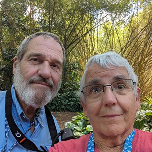
Every now and then we have to stop and take a selfie.  We are not very good at it, but it’s required, you know.  MNTBG.  (Photo by Linda)


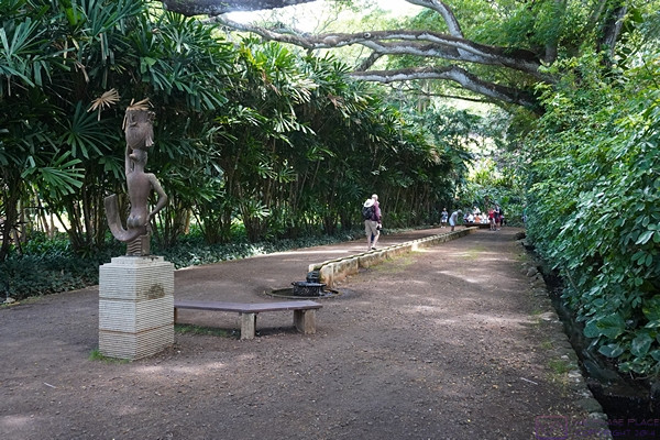
A different view of the same end of the courtyard showing the statue and bench.  The “walls” of this courtyard are plant material again.  MNTBG.


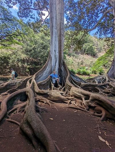
These very large trees had amazing, exposed root systems.  For a sense of scale, the little blue patch at the center of the base is me in my blue Columbia shirt.  (Photo by Linda)


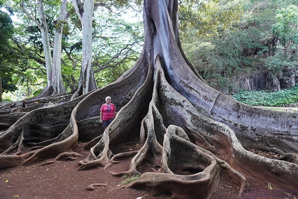
Linda stands by a different tree (same species) as the previous photo.  MNTBG.


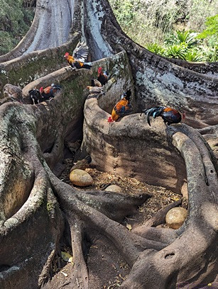
We encountered quite a few chickens on Kauai, including here at McBryde Garden.  The egg-shaped rocks among the roots are referred to as “dinosaur eggs.”  (Photo by Linda)


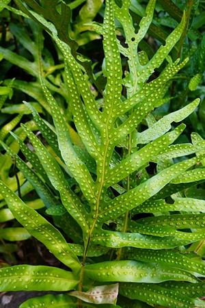
The green leaves with white dots caught my eye, and reminded me of “candy dots” that I would peel off of a paper backing as a child.  A quick Google search revealed that they are still very much available.  MNTBG.


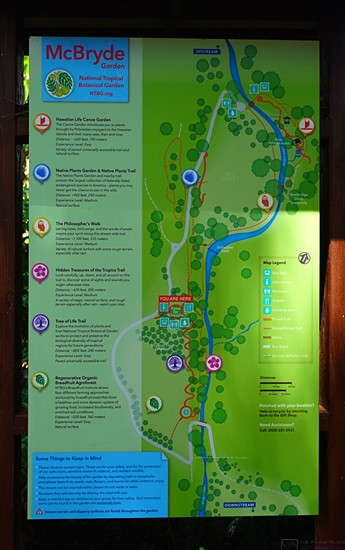
This map of McBryde Garden should probably have come first, but we came across it at the end of our tour.  As shown, a small river (creek, stream) runs through the full length of the property.


One last flower photo as we wrap up at McBryde Garden.