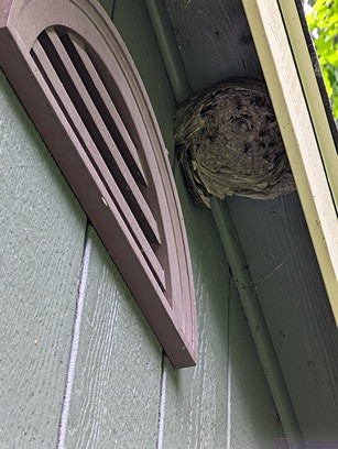
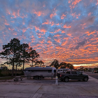
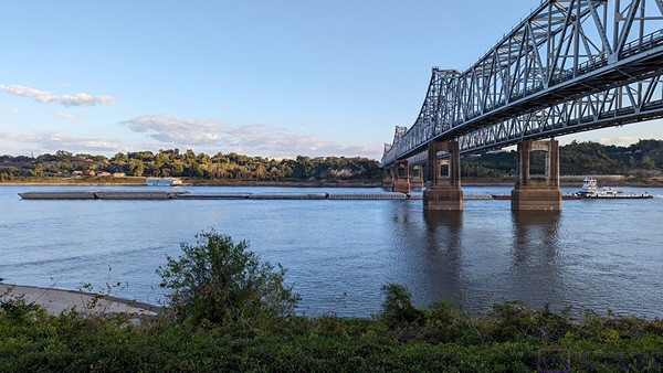
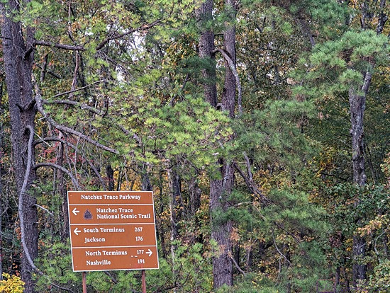
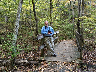
NOTE: This is a longer post that contains one (1) photo with caption, taken by me (Bruce) with a Google Pixel 6 Pro.
FRIDAY 19 thru SUNDAY 21 July 2024 — Vision, cruises, SW licenses, yard work, Boondockers, and a Buck Moon
Friday 19 … More vision, a cruise dream, and a software license
Yesterday was a hard day so today was an easier day, by comparison. Linda had a 1 PM follow-up visit with Dr. V, her ophthalmologist at the KEC-BCSC. She got an excellent report; both of her eyes are healing well. Dr. V tested her vision and gave her a prescription for bi-focal glass lenses. Linda can actually see fairly well now without glasses, both for reading and distance. She is far-sighted in one eye and near-sighted in the other, and Dr. V inserted lenses that work with that difference. But she still does not see quite well enough for extended work at her desk, staring at her laptop computer and working with our personal financial and travel records, or reams of accounting printouts from the bakery. And while her distance vision is okay, the glasses will make it better, especially in her near-sighted eye. This will allow here to see better while in a vehicle, whether driving or as a passenger helping to read road signs.
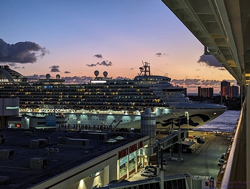
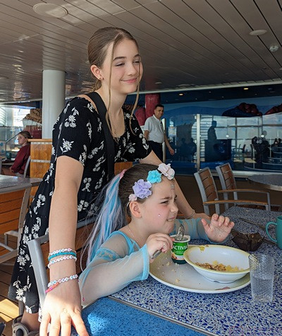
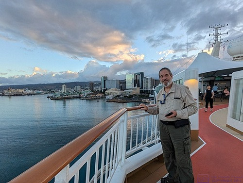
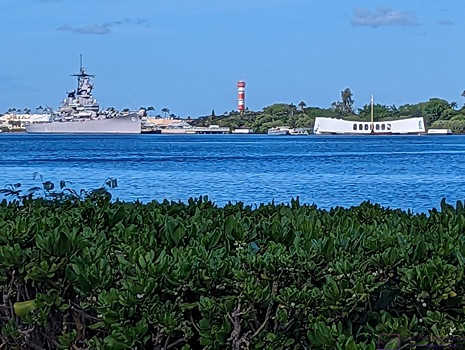
We got a brochure in the mail today from Oceania Cruise Line (OCL). Oceania is a wholly-owned subsidiary of Norwegian Cruise Line Holdings (NCL-H). Having sailed twice on NCL, they know who we are and they know where we live. OCL is a luxury cruise line featuring smaller ships than the ones we have been on (so far). Their cruises are commensurately pricey, so not something we have seriously considered. But just like the Sears and Montgomery Ward catalogs at Christmas (when we were kids), we went through the brochure to see what was on offer. They offer a lot of cruises in the Far East, including Australia and New Zealand, the Caribbean, and the Mediterranean. But the one that caught our eye departed from Buenos Aires (Argentina) and ended in Santiago de Chile (Chile) with a 2-day stop in Antarctica and a trip around Cape Horn through the Drake Passage. The sailing dates were northern hemisphere winter, so southern hemisphere summer, when the Southern Ocean is not quite as fierce as it is in the southern winter. And it was on sale for what seemed to be a relatively good price. Setting foot on Antarctic continent is a true bucket list item for me, but it won’t happen in 2025 (we already have two big trips planned) and probably not in 2026 (when we plan to RV to Alaska). The 2025 trips are set in stone (as much as any trip can be) but 2026 is still just an unplanned intent.
I have been using the QCAD software package for a few years now. I made extensive use of it to design the barn, but I use it for other things as well. The basic version is open source and free to download and use, but the professional version unlocks some important features and provides access to updated versions as they become available. For $39 a year, having the professional version is a no-brainer for me. My current license expires this coming Sunday, so I went ahead and renewed it tonight. I always use PayPal for things like this, and it will be interesting to see how this hits my credit card. I selected $USD on the website/store but the invoice came up in $EUR. I don’t know if this was related to the worldwide CloudStrike/Windows outage, but the transaction completed successfully using PayPal. While processing this transaction, I discovered that my password app on my phone would not allow me to log in with my fingerprint. Humm; that was strange and annoying as this is how I usually open the app. I got the password from one of our other devices and logged in that way. In the app settings on my phone, the ability to biometrically authenticate (face scan or fingerprint) was turned OFF. I did not turn it off, so it probably got reset as part of an update. I really hate it when that happens.
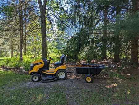
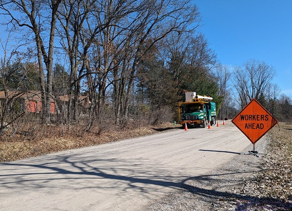
Last, but not least, UPS delivered most of the Rockler Rock-Steady work stand components and kits. I knew these weighed quit a bit as all the pieces are steel and the driver confirmed this immediately upon arrival. I asked if would deliver them to the barn, and he was more than willing to do so. I helped him unload everything and get it into the barn. The delivery included two (2) Corner Stand kits (complete), and the following components for the five (5) 56” x 20” x32” Work Stands: 5 x 4-packs of 56” Stretchers, 5 x 4-packs of 20” Stretchers, 5 x 2-packs of 32” Center Supports, 5 x 4-packs of Stand Connectors, 10 x 2-packs of Drawer/Shelf Brackets, and 1 x 4-packs of 32” legs. Missing from the delivery were 4 x 4-packs of 32” leg sets for the five (5) 56” x 20” x 32” Work Stands. We checked the order on Rockler’s website and verified that they were still on backorder. Also, that we had only been charged for the pieces that actually shipped.
Saturday 20 … More yard work
I knew the refill date on my blood pressure medication was coming up soon, so I logged into my online pharmacy to check. I quickly discovered that they were going to automatically refill it, so nothing for me to do except wait for it to show up.
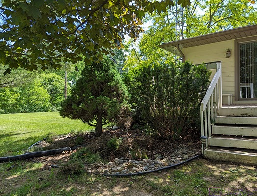
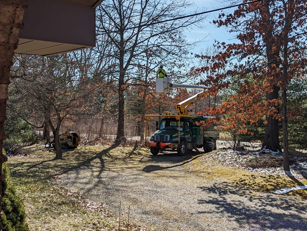
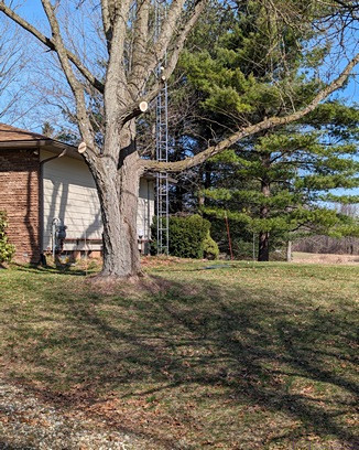
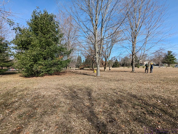
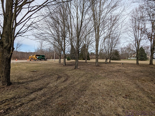
After coffee and breakfast, we got dressed to work in the yard. I had previously added enough material to our firepit to justify lighting a fire, and we knew there were enough tree limbs on the ground in the west yard to keep us busy for a few hours. Linda eventually turned her attention to weeding under the large stand of pine, and fir trees just NW of the house, which included cutting out saplings. We worked from 10:00 to 13:00 and put our tools away.
A shower and some lunch and we were good as new. I then settled in to work on blog posts and launder the bed linens while Linda made a new batch of her amazing granola. Our middle grand-daughter was due back today from a two-week stint at the YMCA camp, but we did not get a chance to Facetime with her. Dinner was the second go-around of the Mexican corn salad, and it was just as good as the first time. After dinner we settled in to watch our usual Saturday evening TV programs on our local PBS station.
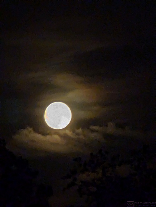
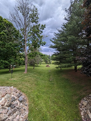
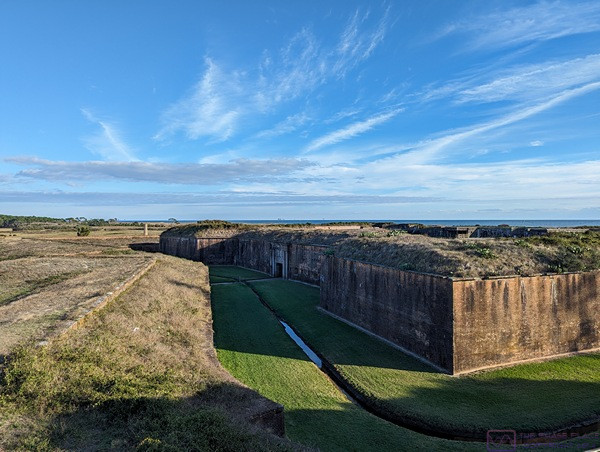
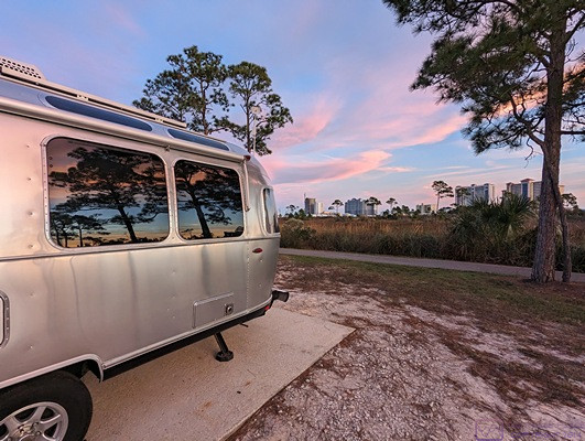
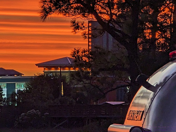
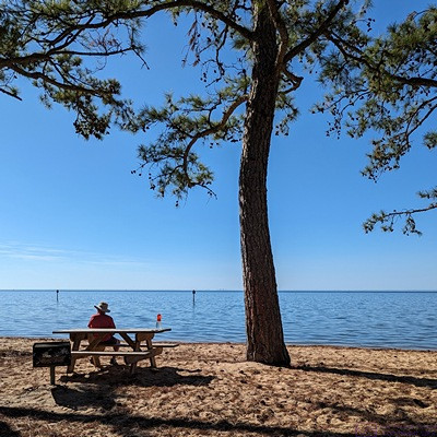
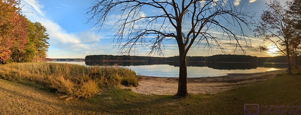
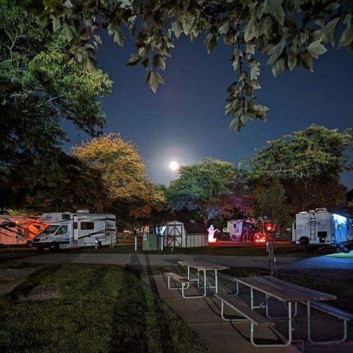
The “Buck Moon” about 8 hours before it’s precise occurrence. This photo was taken a 10:20 PM, about 20 minutes after moonrise. The view is southeast from the end of our first driveway, the only place on our property that afforded an unobstructed view of the orb, and I had to wait for the disk to be above the tree line of the properties southeast of us. This is a long/night-mode handheld exposure that received more than my usual post-processing. In particular, I tried to make the details on the surface of the moon at least a little bit visible, while also bringing out some details in the surrounding clouds and the trees along the bottom of the image.
I had noticed for the past week that the moon was near full. A news headline popped up this morning about tonight being the “BUCK MOON,” the name given to the full moon in July. Online research indicated that in North America the name is ancient and spiritual, and refers to the time of year that male deer start to grow their antlers. The actual time of the Buck Moon was tomorrow morning, but we had an excellent view of the moon this evening, low in the southeast sky but above the trees. The weather was clear and the moon appeared very large and very bright.
Sunday 21 … Another BdW guest arrives
The exact time for the “Buck Moon” was 6:17 AM EDT, but we did not see it this morning; I was up, but the weather was cloudy. We also have trees in our yard, as do adjacent properties to the east and southeast, that obscure the eastern horizon, so we often cannot see a moonrise.
We continued our work on the property again today. Linda pulled weeds while I cut down one of the four (4) “bushes” that grow in the northeast portion of our yard. They are not attractive, consisting of a tangled mix of samplings, vines, and wild raspberries with plenty of thorns. Even mowing the grass near them requires some care.
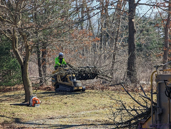
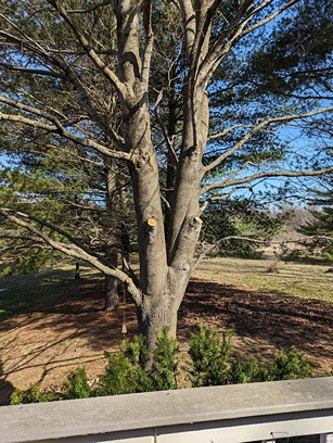
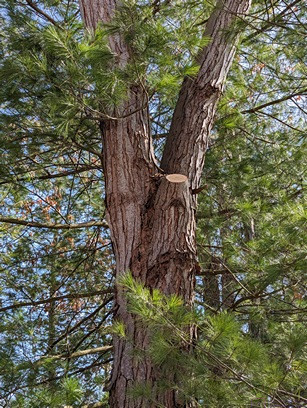
When we had a sufficient pile of material in the burn bit I started the fire. I then switched my attention to the stand of large pine trees in the northeast corner of the property. I removed limbs and branches that were already on the ground, and then cleared a path around the east side of the stand. I then pruned a few of the lower/dead branches from the trunk of one of the trees. I hadn’t planned on pruning today, but we needed more/larger wood for the fire, and these were easy to get to and relatively close to the fire pit (compared to material from the western portion of the property.) We worked for about 3 hours and then called it quits.
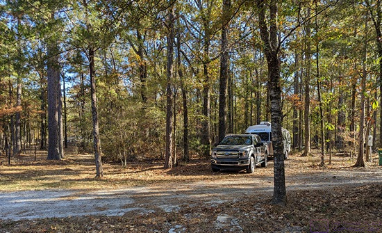
BdW members Patrick & Ruth W. notified me around 17:30 that they would arrive at 20:30. Our preferred arrival window is between 13:00 and 17:00, but later times are okay as long as we know. Knowing they would not arrive for a while, we opened our BdW Hosting Profile in the HH-BW app and reviewed our information. We confirmed that our profile does state a preferred arrival window of 1 – 5 PM. As long as we were logged in, we made some minor edits to our information. I tend to error on the side of TMI, the error being that the more words you use the less likely most people are to actually read and retain all of them. Still, there are things guests need to know about our site and expectations. Linda then prepared a dinner meal of mushroom root steak, corn, baked sweet potato, and a small green salad with plant-based “blue cheese” dressing. Yum.
After dinner, we watched an episode of Agatha Christie’s Poirot on PBS at 19:00 and then the latest episode of Martijn Doolard on Youtube at 19:50, which filled the time until 20:30 rather nicely. That meant we missed this week’s episode of Professor T (PBS) but we can stream that sometime this coming week. Our guests arrived on our street right at their ETA and phoned me. Linda came out with me and after I got them parked we had a brief welcoming chat before leaving them to make camp. We returned to our Sunday evening PBS TV programs and watched Grantchester at 21:00 and DI Ray at 22:00, both of which appeared to be the concluding episodes for this season. That might also be true of Professor T, but we won’t know until we watch it.
…