2016/02/05 (F) Windows 10 Upgrade
We had a long day yesterday and even though we were in bed before 11 PM we still slept in until 8 AM this morning. I did not make coffee and we did not have breakfast as we were picking up Mara at 8:50. We shut down our computers and iPads and packed them for travel. We set the windows in the bus so the cats would be comfortable. At 8:45 AM we loaded the car and drove over to get Mara. We stopped at the Dunkin Donuts in Arcadia for coffee and bagels and then headed west on FL-70 for Ed and Betty Burns’ place in Bradenton.
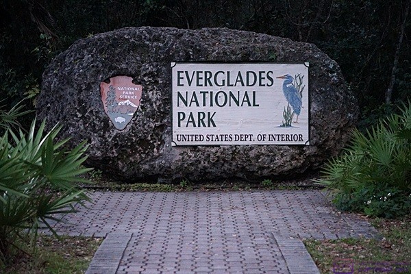
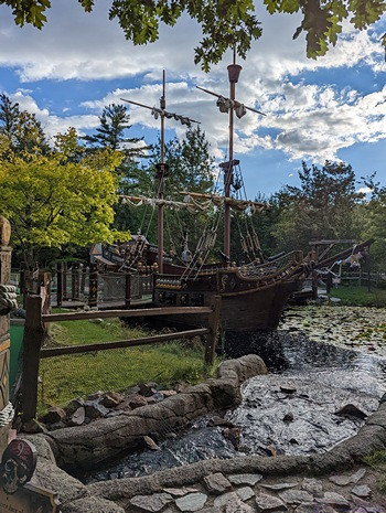
Everglades National Park entrance sign on the road from Homestead and Florida City, FL.
The main purpose of our visit today was to upgrade Linda’s Samsung laptop computer and my ASUS notebook computer to Windows 10 using Ed and Betty’s unlimited broadband data. A secondary objective was for Linda to purchase/download the latest version of Turbo Tax. Our tertiary goal was to update iPad and smartphone apps.
We got to Ed and Betty’s a little after 10 AM, introduced them to Mara, and got busy setting up our computers. We had a bit of a false start but finally had the Windows 10 installation process launched by 11 AM. After quite a bit of conversation, Linda and Betty busied themselves making lunch and Mara settled in to go through her mail. Once the files for Windows 10 appeared to be downloaded I initiated the update process for eight apps on my iPad2. Betty washed off a bag of red grapes and set them out for all of us to enjoy.
At 12:30 PM we moved our technology to a coffee table in the living room to clear the dining room table for lunch. Betty made a large pot of vegan chili mac and we had sliced avocado, tortillas, and potato chips to go with it, along with grapes and slices of Meyer lemons for our water. Florida really is a good place to be if you want to “eat fresh.”
The ladies left around 1:45 PM to go for a walk while Ed and I stayed behind. I connected my phone to their Wi-Fi and updated a dozen apps. My computer was finally ready to configure Windows 10 at 2 PM and I went through the customized personalization rather than accepting the Express Setup defaults. My iPad was up-to-date so I started working on this post while I waited for the Windows 10 process to finally finish.
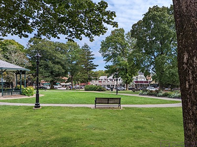
It took until 2:30 PM for my computer to be fully booted up and usable. About that same time Linda’s computer was finally ready to configure. I wanted Linda here for the configuration choices so I waited for her return. The ladies got back at 2:45 PM and Linda resumed configuring her machine. We had originally planned to go see the 3 PM practice session of the Royal Lipizzan Stallions in Myakka City, but we would have had to leave at 2 PM to get there. We will definitely go seem them, but for now this was, once again, deferred to a future day.
Linda purchased, downloaded, and installed the latest version of TurboTax and was done installing updates by 4:20 PM. Her update process went smoothly, if slowly, and without any apparent hitches. When the initial Windows 10 upgrade finished on my machine I did not have any of the quick start or system tray icons which concerned me greatly. After rebooting my computer, more than once, the icons eventually returned. I installed an undated driver for the NVIDIA GeForce graphics processing unit (GPU). I also had a problem with the sound but was able to resolve it using the audio troubleshooter.
I rebooted my machine for what I hoped was the last time at 4:45 PM. It took 15 minutes to fully boot up and I made one more check for updates. It appeared that the operating system updates were all done but there were still updates to install for Adobe Photoshop and Lightroom, both of which are large and tend to take a long time to download.
By this point Betty had opened a couple of bottles of wine and convinced all of us that the collect best option for dinner was to order pizza and eat at their house. Linda coordinated the pizzas and ordered them from Vertoris’ where we ate last night and which was only seven miles away. While she and Ed were in transit to get the pizza and salad I updated Photoshop and Lightroom. I started each program and Photoshop indicated that it had a problem with the video card driver and had disabled some of its enhancement features. That was not an immediate problem as I do not presently make any use of Photoshop, but the incompatibility was distressing nonetheless.
I had done what I could in the way of updates for today so I shut down my computer and packed it away to clear the table for dinner. Betty set the table and Linda and Ed returned a short time later with the food. We sat down to a wonderful meal with friends that finally concluded around 7:30 PM. It had been a wonderful day with friends and we had gotten a lot accomplished thanks to the use of their technology, but by 7:45 PM we were all tired and the three of us were on our way back to Arcadia. We dropped Mara back at her motorhome at 8:45 PM and were back at our coach by 8:50 PM. We watched the end of an episode of Endeavor and then watched another complete episode. By then we were sleepy tired and went to bed.
2016/02/06 (S) Article Uploads
We slept in this morning until after 8 AM and so did the cats. We lounged around in our sweats drinking coffee and eventually had granola for breakfast. It was cloudy with rain coming and we considered spending the day in the bus in our sweats when we remembered that it was the first Saturday of the month.
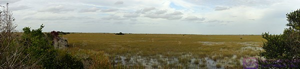
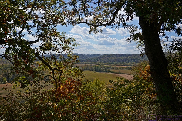
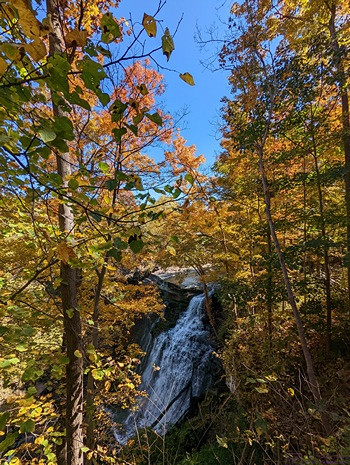
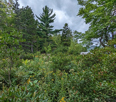
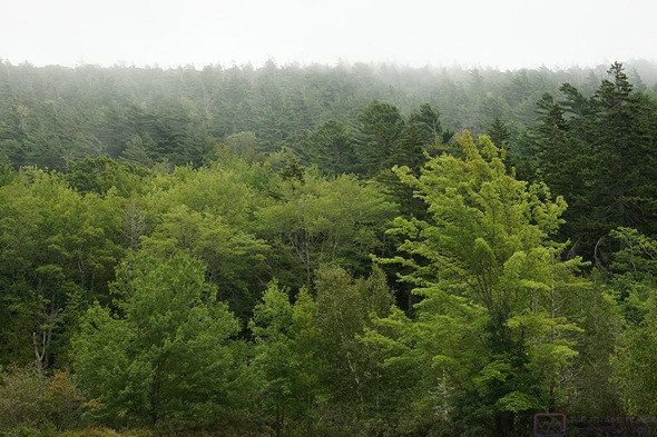
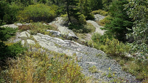
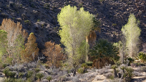
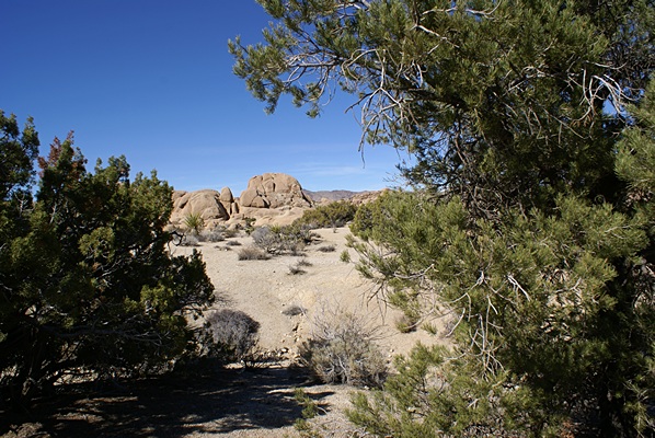
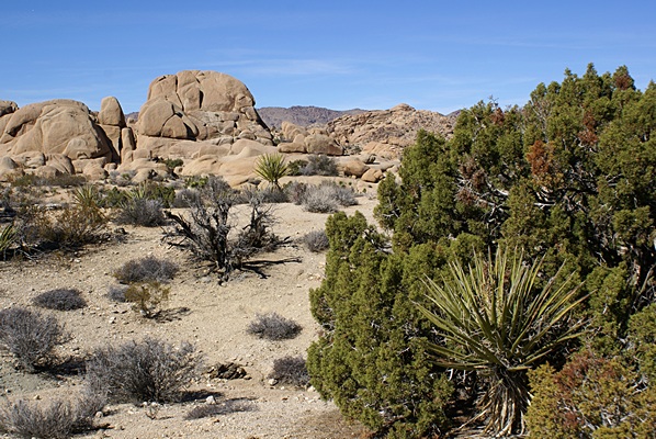
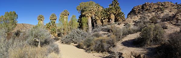
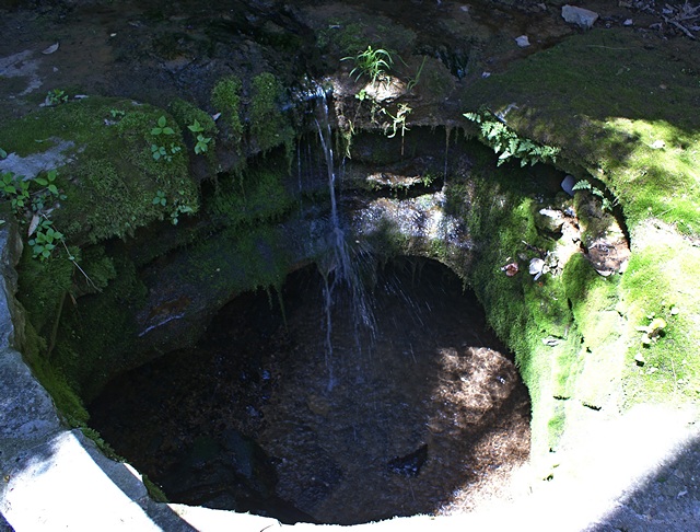
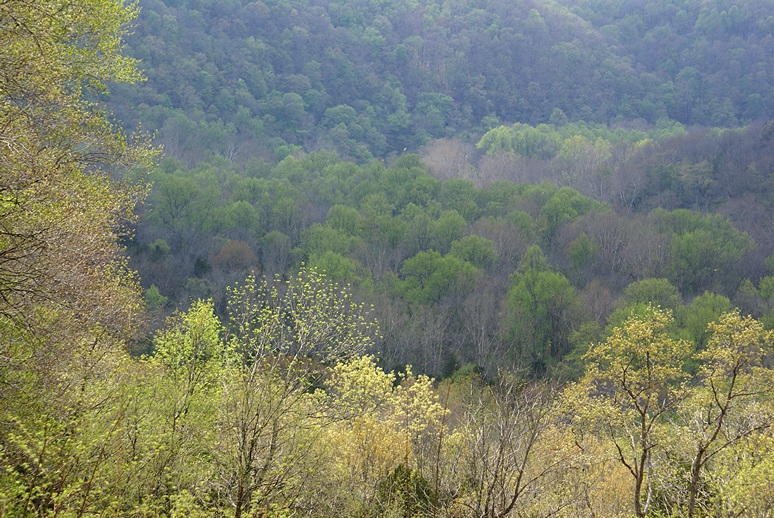
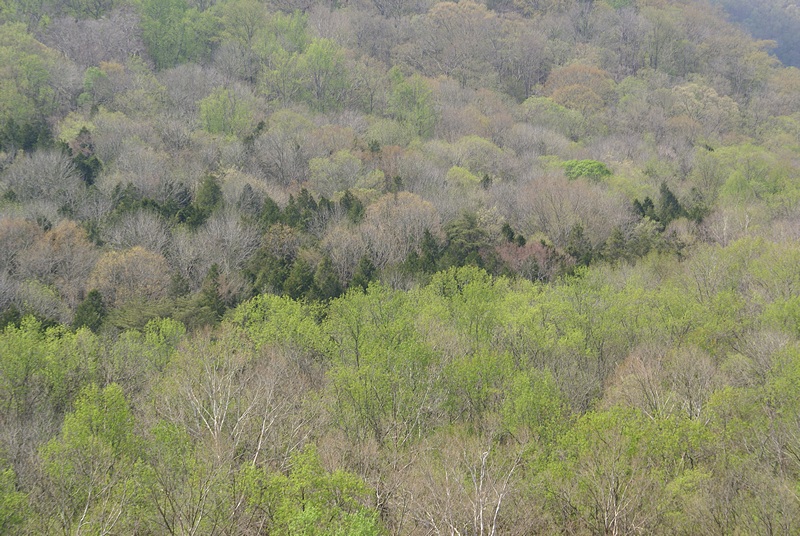
The Everglades is vast and low, but is not a swamp. Swamps involve stagnant water. The Everglades is almost entirely shallow, but constantly flowing, water like a river. Everglades NP, FL.
The Arcadia Farmers Market takes place on the first and third Saturday of each month so Linda texted Mara to see if she wanted to go. She did, so we got dressed, picked her up in the car, and drove downtown. To our disappointment there were only four vendors there and only two of them were selling food. One was a local farm that had freshly picked Napa cabbage and locally produced honey. Linda bought a head of the cabbage and Mara bought a cabbage and a jar of honey. We took a short walk around downtown and then drove to Joshua Citrus Co.
At Joshua Citrus we bought a few Ruby Red grapefruit and a few Honeybelle tangelos. Mara also bought a variety of citrus including Meyer lemons. We stopped at Walmart on the way back to our RV resort for cat litter and a few sundry items while Mara picked up some groceries. We dropped her at her motorhome and took a minute to meet another couple from Howell, Michigan who were just getting ready to pull out. We then returned to our rig around 1 PM.
Linda made rollup sandwiches with soft tortillas, Napa cabbage, dark greens, and hummus. At 1:30 PM she phoned Mara to see if she wanted to go for a walk and headed over to rendezvous with her. I had a call earlier from Dave Aungier and called him back. He had downloaded his BCM article from my Dropbox and reviewed it. We went over a few minor changes, which I made to the Word doc, and discussed the process of submitting it to the magazine and working it through to publication.
Dave and I were done talking by 2 PM and it had started to rain lightly. Linda had worn her raincoat but returned around 2:30. By that time I had turned my attention to the three articles that Stacy had finished proofreading and returned to me. I went through each one and accepted most of the changes. I then went through each one and made sure I had all of the image files properly identified and organized. I backed up all of the files, moved them to the READY folder, and then uploaded them to my Dropbox. Once everything had transferred I e-mailed Gary (BCM publisher) and Jorge (layout) and let them know the files were there. I had a few more e-mails back and forth with Gary and had to redo a panoramic photo that had discontinuities in it that I had not noticed.
Mara came to our rig to discuss some logistics related to the Holistic Holiday at Sea cruise that she and her friend, Michael, are going on at the end of the month. As it turns out we will take them to Miami and pick them up when they return and take care of Mara’s two cats while they are away. Mara waited for a lull in the rain and returned to her rig a little before 6 PM. For dinner Linda prepared a salad with diced Napa cabbage and honey roasted peanuts and a homemade dressing made with rice wine vinegar, sesame and vegetable oils, Dijon mustard, fresh grated ginger, salt, and pepper. It was very good. She then reheated the leftover pizza from the last two nights. The pizza was exceptional when it was fresh and, although it lost its crisp crust on reheating, it was still tasty as leftovers.
While Mara was visiting the leak around the bedroom ceiling vent/fan reappeared. The lower outside corner of the lower passenger side windshield also leaked, but we expect that to happen every time until we do something to fix it.
After dinner we watched a couple episodes of Endeavor and then a couple of episodes of As Time Goes By. After that we watched a PBS documentary on Jason Blair, the discredited New York Times reporter. We caught a few minutes of news and weather and went to bed.
2016/02/07 (N) Super Sunday
Today was just one of those days. It also happened to be Super Bowl Sunday, but that’s another story. As we do most days we started our morning with coffee.” As she often does on Sunday mornings, Linda made vegan pancakes for breakfast. We split a ruby red grapefruit as well.

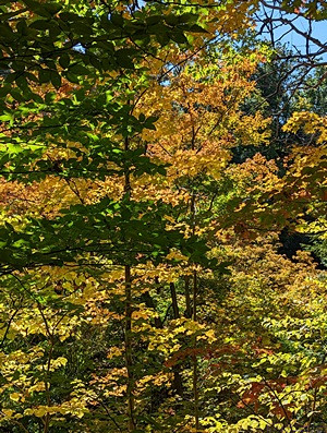
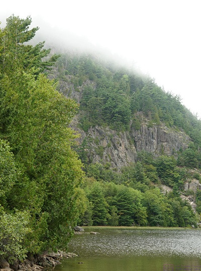
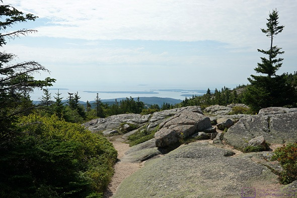
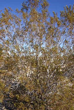
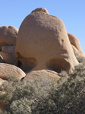
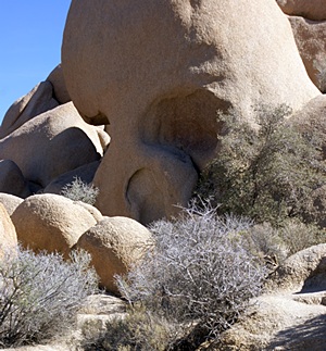
Though much of the Everglades is open, there are stands of trees throughout. This one had a “face.” Everglades NP, FL.
Linda walked to Winn-Dixie with Mara while I settled in to work at my computer. My plan was to edit and upload blog posts but in the end I only got two more posts ready to go and did not get them uploaded. Not that I was goofing off; I was busy all day but ended up taking care of other things.
For starters, I downloaded an updated version of the Logitech SetPoint software for my Logitech UltraThin Touch Mouse and then reconfigured the settings. The mouse is capable of a variety of things with just subtle movements but seemed to be less stable than before the Windows 10 upgrade. I was also having problems with my cursor jumping around while typing. I initially noticed it while typing e-mails but noticed it later while working in Word. Linda had the presence of mind to suggest that it might be the touchpad. Sure enough, the touchpad was active. That had not occurred to me because it wasn’t active under Windows 8.1. Apparently the upgrade to Windows 10 activated it. So much for maintaining my existing settings.
I had additional e-mails back and forth with Gary and Jorge at BCM, as result of which I updated the BCM page on our website. I also e-mailed Brenda Phelan to check on the status of our tire covers. When I finally got to work on blog posts I selected and processed several photos from our visit on Thursday to the Ringling Estate. I then edited the two posts mentioned previously.
When Linda got back from Winn-Dixie she made rollup sandwiches for lunch with dark leafy greens and garlic hummus in soft tortillas. We had red grapes to go with the sandwiches. After lunch she walked up to the mail room. I got a happy birthday card from our daughter and son-in-law, which was nice. The eight pounds of coffee we ordered from Teeko’s back home had also arrived. I checked the order to make sure it was correct. It was, so I stored the box as we won’t need it for another couple of weeks. I exchanged a couple of text messages with my daughter and decided it would be easier to just call her. We had a nice chat.
Mara walked down to our coach mid-late afternoon and the three of us went for a vigorous walk through the entire RV resort. We all returned to our bus and visited long enough for me to demonstrate the mapped location history feature in RVillage. Mara headed back to her rig around 5:30 PM and Linda started fixing our dinner. She made vegan Sloppy Joe’s with TVP and baked sweet potato fries. Yum.
Eventually it was time for Super Bowl L (50). I had intended to continue working at my computer all evening but my enthusiasm had waned and I found the game distracting. We kept the volume down and played games until 9 PM and then switched the TV to PBS and watched Downton Abbey. When it was over we switched back to the game. It looked like the Denver Broncos were going to beat the Carolina Panthers so we watched a documentary on PBS/World about a family in Japan. Linda went to bed when it was over but I switched to PBS/Create and watched a tribute concert to American film composer John Williams. Jasper curled up with me for a while and then indicated it was time to go to bed.
2016/02/08 (M) Travel Prep
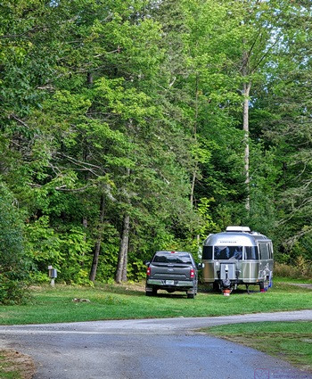
It got down to 40 degrees F outside last night and dropped into the upper 50’s in the coach. Juniper stayed close to us for most of the night and snuggled up next to my head around 4:30 AM. The cats must have eaten most of their food during the night as by 7 AM Juniper was most insistent that I get up. I finally did at 7:15 AM, fed them, turned on the furnace, and made our morning coffee. Linda was up by 7:30, plugged in the charging cable for our Verizon Mi-Fi, and was playing word games by the time the coffee was ready. That girl really likes her word games

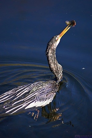
An Anhinga pruning its feathers. Everglades NP, FL.
Linda checked our Verizon account via her iPad and we had used 7.03 of our 10 GB of monthly data plus the 2 GB of extra allocation we got for downloading and installing the Verizon go90 app on our phones. The data usage function on the Mi-Fi device (Novatel 5510L) showed 9.03 out of 12 GB as it combines all available data, so they were in agreement. It’s a good thing we have the extra 2 GB each month for the next few billing cycles. This current cycle (January 20 through February 19) has included iOS and app updates for both of our iPads, app updates for our Android phones, uploading of four BCM articles to our Dropbox (with lots of photos), numerous e-mails with large attachments, and upgrades from Windows 8.1 to Windows 10 on both of our computers. Even though we made some use of the resort Wi-Fi while at the laundry room, and did the Windows OS and some iPad/smartphone upgrades at Ed and Betty Burns’ place using their unlimited broadband connection, it has been a heavy period of data usage for our Verizon account. Twelve gigabytes is not enough data to get us through a typical month while we are away from home.
We had granola for breakfast with fresh fruit and juice and then settled in to finish our coffee and doodle on our iPads. I e-mailed my blog posts for the last five days to myself and then download/installed the Gmail app on my iPad2. We took showers, got dressed, straightened up the bathroom, and got on with our chores. I turned on the electric block heater for the engine to warm it up for a maintenance start later today.
We are headed to Homestead and the Florida Keys tomorrow for four days so today was, in part, a travel preparation day. Linda’s first task was a trip to the post office to mail the book she bought at The Ringling estate for Madeline’s Valentine’s Day present.
We are taking the car and leaving the cats behind in Mara’s care so Linda wanted to clean up the bus a bit. We also both needed haircuts. Linda made a 1 PM appointment at a place near the Winn-Dixie. One of my tasks was doing laundry which I took care of at 11 AM. Linda finally got hold of a real, live person at the Florida Toll Road Sunpass system but the account is in my name and they would not talk to her. She found me in the laundry room and worked her way through the phone menu until she got back to an actual person and then put me on the phone. The woman was very nice and very efficient and it only took about 10 minutes to get our account reconfigured so we could access it. We logged in and confirmed that we still have a credit balance and updated our credit card information.
When I was done with the laundry I turned on the Aqua-Hot engine preheat loop. When Linda got back from her appointment she cut my hair. Another task was giving Mara a key to our coach and going over the care and feeding of our feline friends. Linda took care of that.
A few days ago our Progressive Industries EMS threw another PE2 error code, which indicates an open ground. The current error code is 0 (zero), indicating that everything is OK, so it is/was obviously a momentary problem. Presumably the problem is in the resort wiring as that is what the PI EMS is designed to monitor and protect against. I wanted to do done things with the bus chassis today so I took care of this at the same time. Unlike last time, I shut off the circuit breaker at the power pole, unplugged the shorepower cable, cycled the breaker a couple of times to wipe the contacts, cleaned the contacts on the plug, inserted and removed it several times to clean the contacts in the outlet, plugged it back in, and turned the breaker back on. All of that was designed to clean electrical contacts and remove a possible marginal connection.
Another thing I did today was start the bus engine, let it warm up, moved the bus aft and for slightly to make sure the brakes were not frozen, and re-leveled the coach before shutting the engine down. I shut of the block heater and Aqua-Hot burner before starting the engine. We are a little over half way through our stay here at Big Tree RV Resort and given the often humid, rainy conditions I wanted to make sure the brakes were not rusted closed. I also wanted to check the fuel gauge as we have been running the Aqua-Hot diesel-fired hydronic heating system on cold mornings and it uses about 1/4 gallon of diesel fuel per hour when operating. When I was done with this process I turned on the fuel polishing pump so it could run while we were away.
We still had enough gallons of fresh water on board that I decided not to dump and fill the tanks today. With the engine/chassis stuff taken care of my main focus today, when not preparing for our trip, doing laundry, eating meals, going for walks, and dealing with e-mails, was working on my blog. It may be the thing I want to do, but it is often not the thing I need to do, or in some cases, the thing I have to do.
I failed to record what we had for dinner but I’m sure it was tasty. We watched TV for a while and then went to bed.
2016/02/09 (T) Road Trip
My night was interrupted around 1:30 AM by very strong wind gusts. All of the awnings were out except the large patio awning and were perfectly capable of being damaged by the gusts. I put on my sweats, slipped into my Crocs, and went outside to stow the awnings. The two bedroom window awnings and the driver side living room awning are held open by straps with a loop on the end that slips over a hook mounted on the side of the coach. The roller tubes are spring loaded and self-retract when the straps are released. While retracting they have to be controlled, using a long metal rod with a right angle bend on one end and a semi-circle handle on the other, but are otherwise easy to deploy and stow. Besides the possibility of the fabric tearing where it mounts to the body or the roller tube, we had the front end of the driver side front awning flipped up by a strong wind gust in Sheridan, Wyoming. I would not have believed that was possible unless I had seen it happen, but we were not about to risk having it happen again.
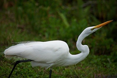
An Egret stalks its prey. Everglades NP, FL.
I spite of my sleep being interrupted I was up at 7 AM. As we do every morning, we fed the cats, refreshed their water, and cleaned their litter tray. We finished packing, adjusted the windows, loaded the car, pulled out as of our site a little before 8 AM, and stopped at the dumpster to drop off a bag of kitchen trash. We drove to the local Shell station to fill the fuel tank and stopped next door at Dunkin Donuts for coffee and something to eat. We then headed east on FL-70.
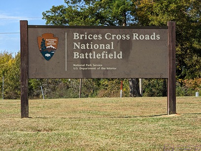
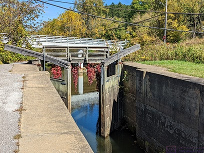
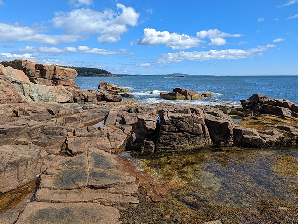
Our destination was Homestead, Florida and Everglades National Park. Our route was FL-70 east to US-27 south to FL-821 south (which is part of the Florida Toll Road system) to its terminus at US-1 in Florida City just south of Homestead. From there we headed west through Florida City and on to Everglades National Park. This part of Florida is very flat but it was still an interesting drive. It was cloudy and cool for the whole drive down.
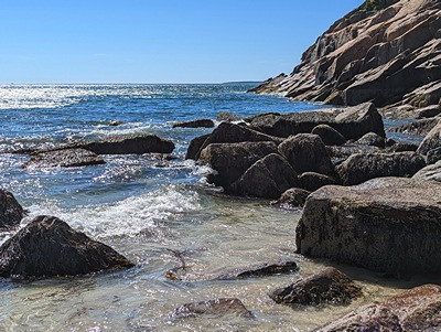
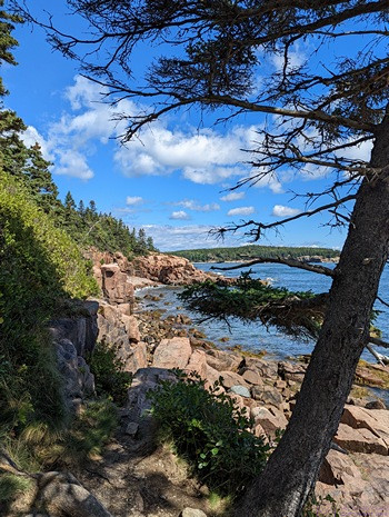
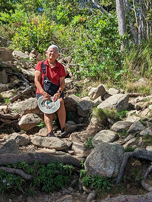
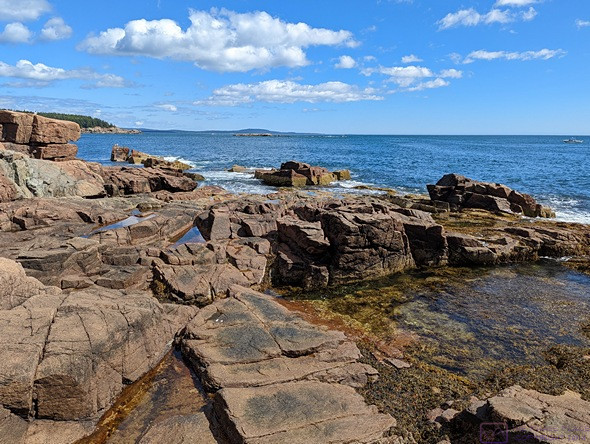
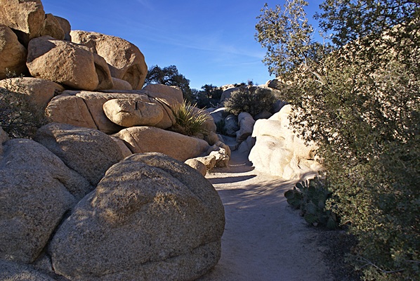
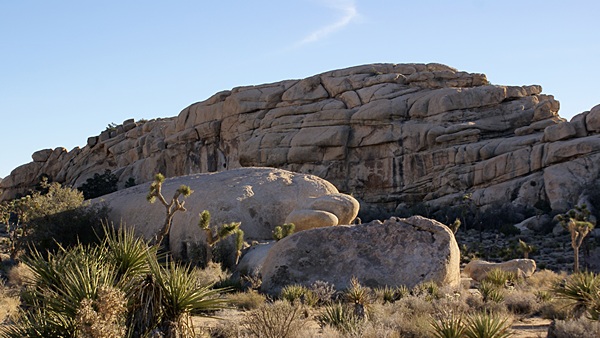
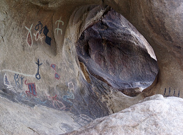
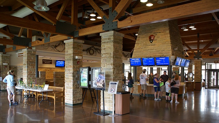
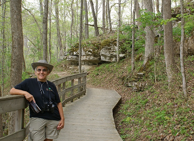
We stopped at the Visitor Center to get a map and stamp our National Parks “Passport.” We entered the park using Linda’s Senior Access Pass and a few miles in stopped at the Anhinga and Limbo Gumbo trails area. We walked both trails, each about 1/2 mile in length, and I took quite a few photos. By the time we got back to our car it was 1:30 PM. We were hungry and wanted to get more information about boat tours so we drove the 34 miles to Flamingo. We had lunch at the Buttonwood Cafe and went over to the Marina to check on buying fuel. They wanted over $5 per gallon so I passed.
We also checked on the pontoon boat tours. Two different tours were available, one into Florida Bay and the other into the Mangroves. Both tours left on the hour starting at 9 AM with the last one departing at 4 PM. The tours lasted just under two hours, and cost $35. They did not take reservations and tickets could only be purchased the same day. We decided to return to the park tomorrow and deferred any decision about the boats until then.
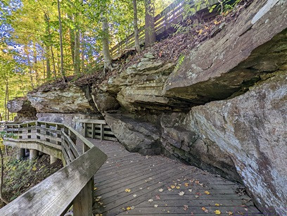
By this time, it was late enough in the day that we decided to start back towards the entrance 34 miles away. We stopped at Pa-Hay-Okee and hiked the boardwalk before leaving the park for the day. On the way back to our hotel we stopped at a Shell station in Florida City and filled the fuel tank for a more reasonable price per gallon. We found the hotel, a Hampton Inn just off exit #2 of the Florida Toll Road between Florida City and Homestead, and checked in. We had lunch rather later and were undecided about what to do for dinner, or when. We drove across the street to the Publix supermarket, bought snacks for tomorrow, and bought red grapes, hummus, and sourdough pretzel nibblers to have for dinner in our room.
We had Direct TV in our room but eventually found PBS and CBS and watched our usual Tuesday night programs. We also found The Weather Channel and Weather Nation and checked the current weather and forecast for the next few days with great interest. Some of the coldest weather of the year was dropping down through the upper Midwest and Great Lakes, affecting the Northeast, mid-South, mid-Atlantic, and Deep South past our location and all the way to Key West. We had brought a variety of clothing, so we were prepared.