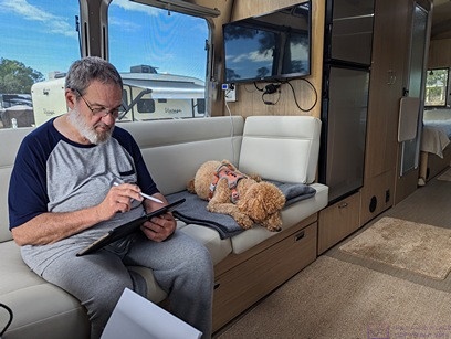
NOTE: This post contains 30 photos with captions. Photos taken by me (Bruce) with a Google Pixel 6 Pro unless indicated otherwise. (Photos by Linda taken with a Google Pixel 6.)
SUNDAY 25 February (T5-C3) — Cozumel, Mexico; Shore Excursions
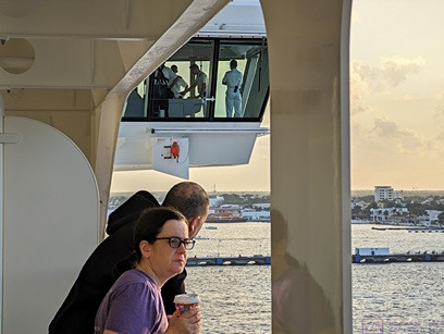
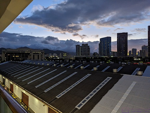
Meghan and Chris take in an early morning view of Cozumel, Mexico from their stateroom balcony; the first time either of them has seen the island (or perhaps any part of Mexico). Cruise ships do provide good views of ports-of-call. It’s 7:30 AM, and Meghan already has her morning coffee.
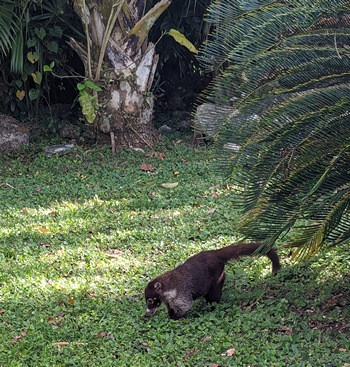
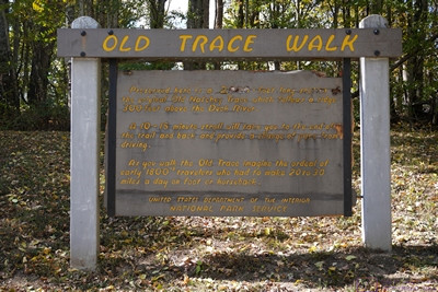
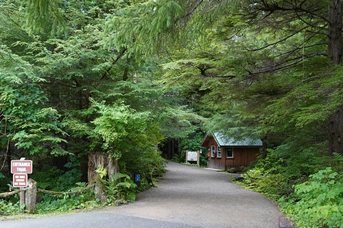
The first stop on our shore excursion was San Gervasio, an important Mayan archeological site managed by CozumelParks. This racoon-like mammal is a Coati (Nasua narica, AKA coatimundi). It is native to Mexico and Central America and belongs to the Procyonidae family, which also includes raccoons. (Photo by Linda)
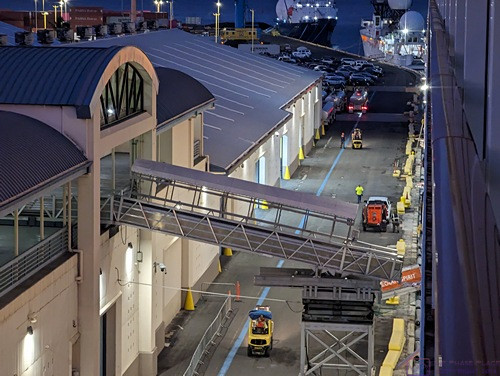
When we arrived this morning, around sunrise, at the downtown cruise port/dock for the island of Cozumel, Mexico, we had been at sea for over 36 hours since leaving the Disney cruise terminal in Port Hollywood late in the afternoon of Friday, February 25th. We had a great time on the ship while at sea, but Cozumel was the first of only two ports-of-call for this cruise, and we were all looking forward to going ashore. Linda had signed all of us up for a shore excursion that lasted about six (6) hours and included three different venues/experiences. We had to be off the ship and at the meeting point by a certain time, so we all got an early start to our day and had breakfast in the Cabana buffet. Based on our apparel at dinner, it was also (apparently) “dress like a pirate” day. Additional details about the day are in the captions for each photo.
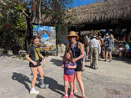
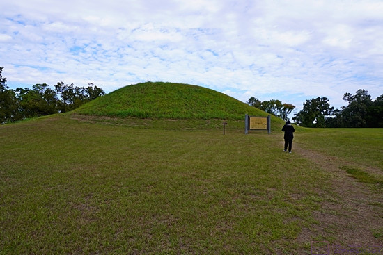
Madeline, Sadie, and Shawna (mom) at the entrance station to the San Gervasio archeological site. (Note the boot on Madeline’s left foot. She injured it not long before the cruise, but it did not slow her down.) This site has the remnants of a large village that was one of the centers of pre-European Mayan culture. (Photo by Linda)
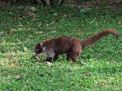
Another photo of the Coatimundi. It did not seem to be fazed in the least by the large group of people passing by and stopping to take its picture. (Photo by Linda)
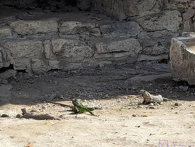
As soon as we reached the first ruin in San Gervasio, we encountered Iguanas and other lizards. Things like Coatimundi and Iguanas underscored that we were someplace very different from where we live. (Photo by Linda)
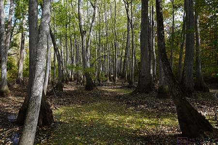
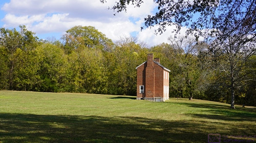
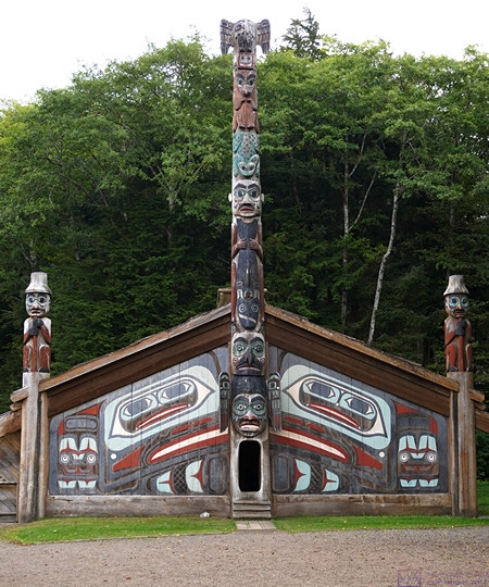
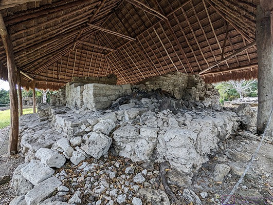
The remains of a fairly large structure. The roof is a modern construction to help preserve the underlying stone work, but something like this might have covered the original building when in use. Wood and palm fronds, however, do not survive the ravages of time. (Photo by Linda)
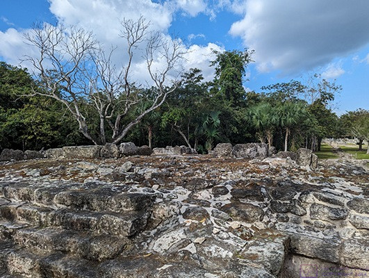
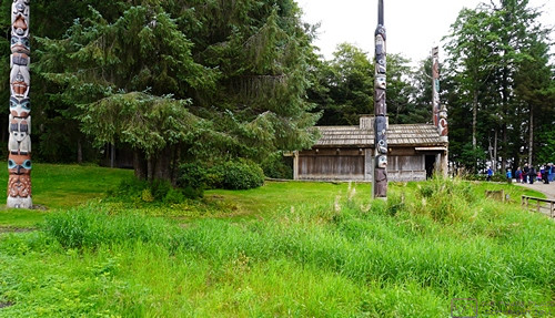
This photo of an elevated platform provides a sense of the number and size of stones that had to be quarried and moved for its construction.
The base of another ruin and its modern protective roof.
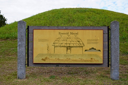
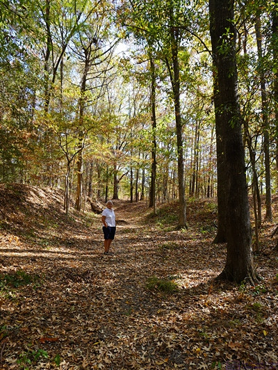
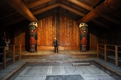
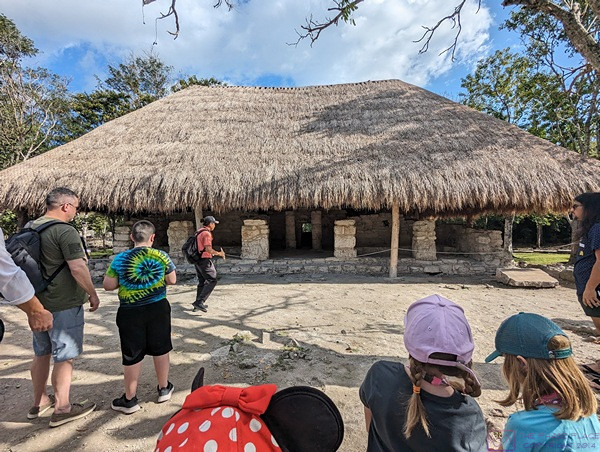
For most of our time at the San Gervasio Mayan Village, we were on a guided/narrated tour. The tour guide explained what archeologist think each of the buildings were used for, but I had no way to capture that information for later recall.
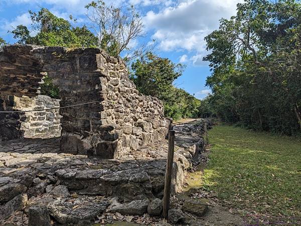
I do remember that this was one of the entrance gates to the Village. Note the road/path leading up to the gate from the forest in the center-right of the frame.
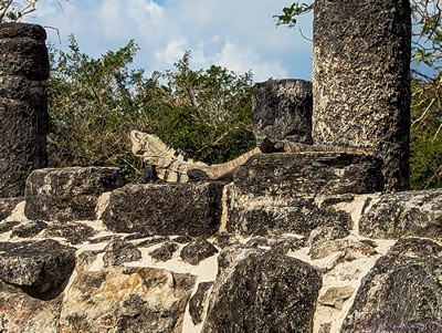
I don’t know if the Iguana pictured here understands or appreciates the historical significance of the stones on which it is sunning itself, but it certainly picked a good spot, and seems unconcerned about the many human guests to the site. (Photo by Linda)
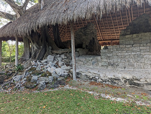
Over many years, this tree took root and grew around a crumbled part of what remains of this building. The modern roof was constructed around the tree.
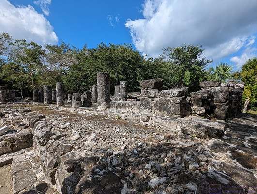
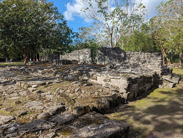
Remnants of yet another building at San Gervasio.
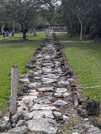
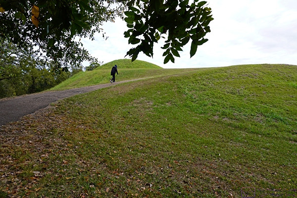
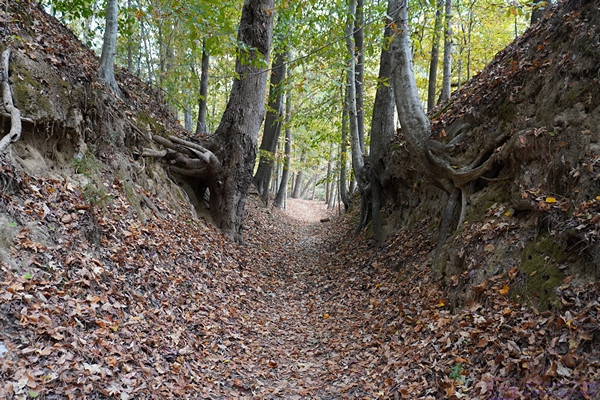
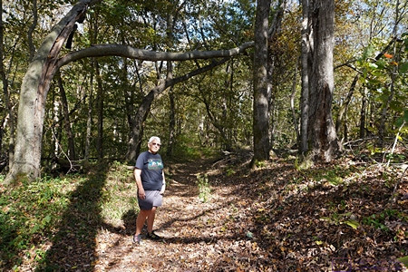
One of the stone walkways that connect the various buildings at the San Gervasio archeological site. Note the drainage ditches along each edge. When the Mayan Village was inhabited, archeologists claim the space between the stones was filled with something like a limestone grout, resulting in a smooth surface that would have been easy to walk on, and permitted the use of wheeled carts.
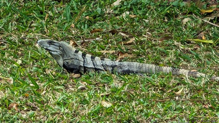
Another Iguana photo because … well, just because we find them fascinating.
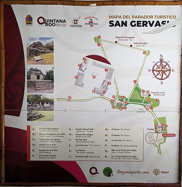
A map of the San Gervasio archeological site with all of the buildings identified.
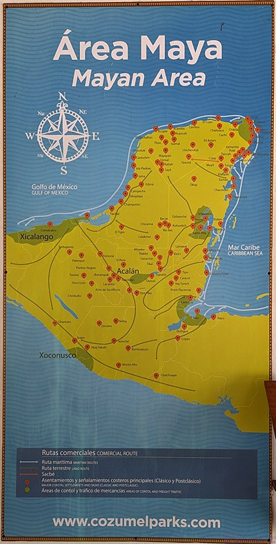
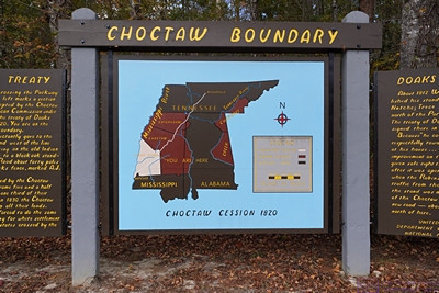
This map highlights the Mayan Areas of Cozumel, Mexico in a darker green color. The next photo indicates that San Gervasio is the highlighted area near Acalán.
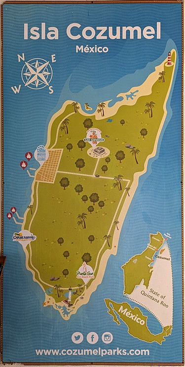
This is a photo of a map that shows the full extent of the island of Cozumel, Mexico, its location relative to the rest of Mexico (just off the coast of the Yucatan peninsula), and the location of the San Gervasio archeological park.
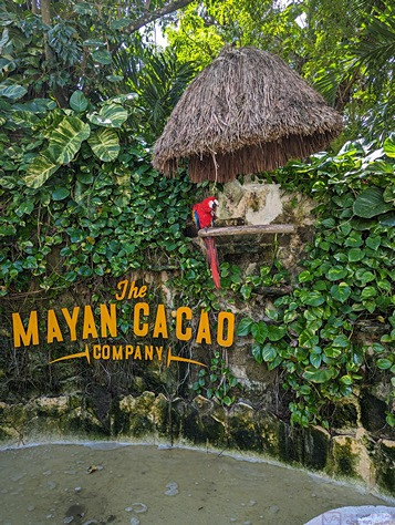
The second venue on our Cozumel shore excursion was The Mayan Cacao Company, located at the Playa Mia Grand Beach Park. Shown here is the entrance sign. Note the Macaw on the perch, upper right, which is protected by a thatched roof. (Photo by Linda)
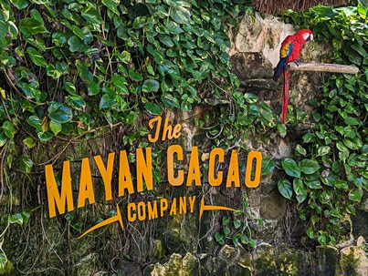
A closer view of the entrance sign and greeter macaw at The Mayan Cacao Company.

Like San Gervasio, this was also an educational experience. This display is about cacao beans as a form of currency, and how it compared to other things that served the same purpose. (From my Money and Banking course at the University of Missouri – Columbia, “Money is anything that acts as a store of value and a medium of exchange.”)
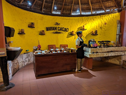
Part of the Mayan Cacao experience was a demonstration of the processing cacao beans to make “hot chocolate.” This was followed by a tasting. (It was not sweet, but it was very tasty.) (Photo by Linda)
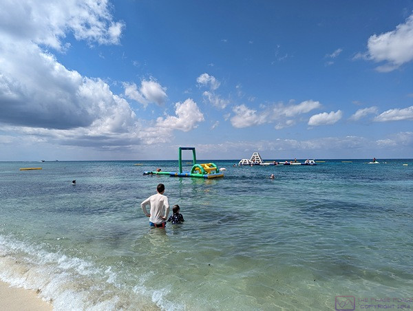
For the third and final venue/experience of our Cozumel shore excursion, we got to hang out at the Playa Mia Grand Beach Park. I believe this park is open to the public but has an admission charge. Besides an extensive beachfront with lounge chairs, umbrellas, and cabanas, the park included some play structures in the water as well as food and beverage stations. Brendan and Sadie are in the foreground with their backs to the shore/camera. Katie brought her snorkeling gear, and was already out in the water somewhere. (I think Brendan and Sadie might be looking in that direction, but they might just be eyeing the large play structure in the water.) (Photo by Linda)
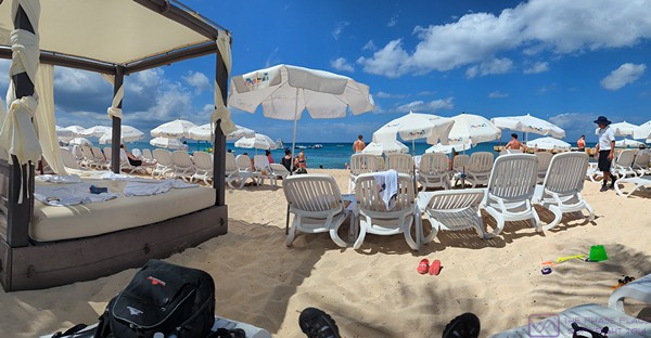
The seating/sunning area at Playa Mia Beach Resort in front of where I happened to be sitting. (I am not a “sun bunny,” and require shade in places like this.)
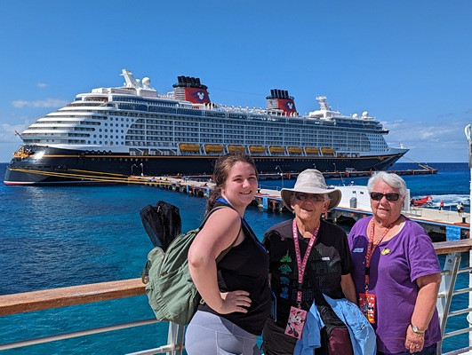
L-2-R; Katie, Linda, and Marilyn with what I think is the Disney WISH in the background, tied up at the dock for the Punta Langosta Cruise Terminal. There is another cruise terminal down the coast toward Playa Mia Grand Beach Park that is used by Carnival and other cruise lines.
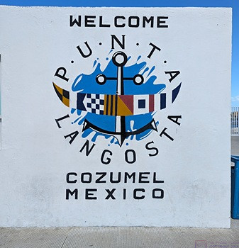
The sign welcoming us to the Punta Langosta port area. It is the closest cruise terminal to the main/downtown area of Cozumel City.
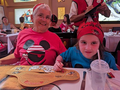
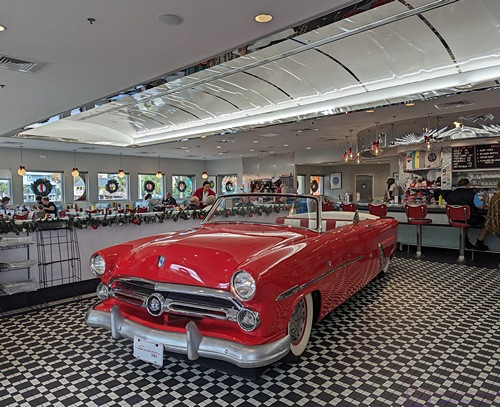
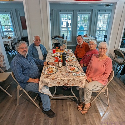
Pirate Sadie with buccaneer Ama (Linda) at dinner in the Animators Palate, the second of our three dining rooms. (Friday and Saturday we were in the Royal Palace dining room, Deck 3 midship; Sunday and Monday we were in the Animator’s Palate dining room on Deck 3 aft, and Tuesday we were in the Enchanted Garden dining room, Deck 2 midship.) This restaurant had amazing visual technology. (Photo by Linda)
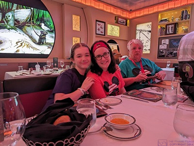
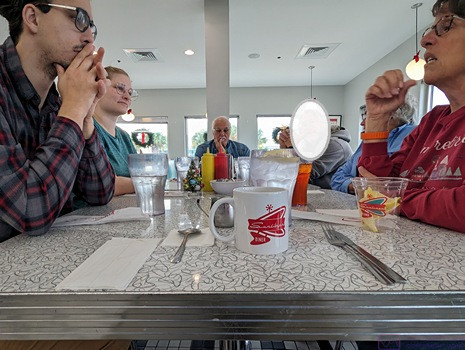
L-2-R; Madeline, Meghan, and Marilyn at our dinner table in the Animators Palate dining room. We had a table for 10 every evening for dinner, and it was always table number 81; our waiter and assistant waiter moved with us when we changed dining venues. Our dining time was always 6 PM (first seating). Linda selected this time because Sadie was only 5 years old, and it allowed members of our group to seek out various entertainment venues after dinner and still get to bed at reasonable times. (Photo by Linda)
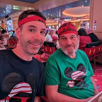
Pirate Brendan and his buccaneer dad (me, Bruce, Apa, grandpa, etc.) in the Animators Palate dining room on the Disney DREAM. (Photo by Linda)
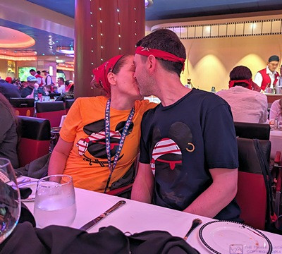
Shawna and Brendan share a moment while we wait to order dinner. Our children both have wonderful spouses and our three grand-daughters are a delight. We are very fond, and proud, of all of them; they are all a great source of joy in our lives. (Photo by Linda)
…