Note: This post contains 17 photos with captions, and some minor narrative. Photos by me (Bruce) taken with a SONY alpha 6400 or Google Pixel 6 Pro unless otherwise indicated. (Photos by Linda taken with a Google Pixel 6.)
TUESDAY 31 October 2023 — NTNP 14 of 14 — End of the Trace: Emerald Mound (again) and the Town of Rocky Springs, near Natchez, MS
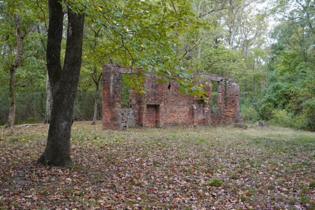
The only remaining wall of the Elizabeth Female Academy in Washington (West Natchez), Mississippi. (See the next photo and caption.)
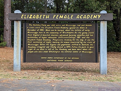
ELIZABETH FEMALE ACADEMY information sign. Paraphrased from Wikipedia: The Elizabeth Female Academy, founded in 1818 in the town of Washington (West Natchez), was the first female educational institution in Mississippi. It was named after Mrs. Elizabeth Roach (later Greenfield), who donated the land on which the school was located. The school closed in 1845, due in part to the relocation of the state capital from Natchez to Jackson, the general shift in the center of population, and several epidemics of yellow fever in the area. The site was reduced to ruins by a fire in the late 1870s. Part of a brick wall is all that now remains of the Academy buildings.
Learn more at: Elizabeth Female Academy – Wikipedia
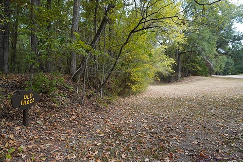
The small sign post at the lower left of the photo says Old Trace with an arrow pointing to the right. This section of the old (original) trail starts at the opening on the left.
We walked on identified sections of the original (old) Trace when we could. We enjoyed the short hikes and admired the natural beauty of these places but also thought about the arduous journeys that so many people made along this trail so many years ago and the history that surrounds it.
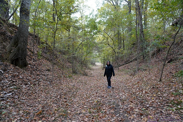
Over time and thousands upon thousands of footsteps, the path of the Trace gradually wore down below the surface level of the surrounding landscape. As shown here , the depth at this point is over twice Linda’s height.
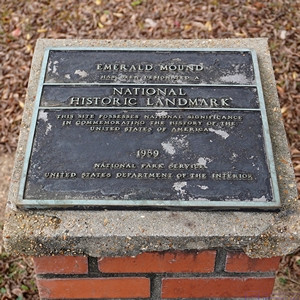
EMERALD MOUND NATIONAL HISTORIC LANDMARK plaque. We returned to Emerald Mound today as we only had a brief visit yesterday, mostly the find it.
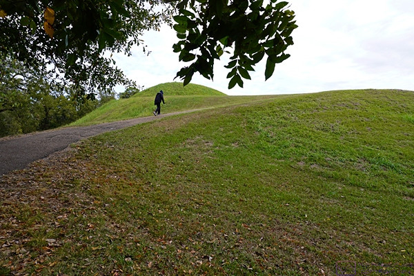
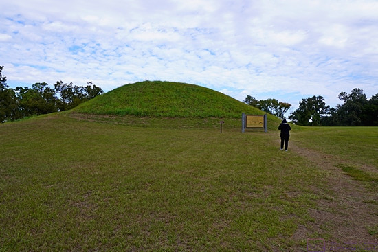
The trail leading to the top of Emerald Mound was paved but steep. This photo gives a sense of the height of the mound from the parking lot.
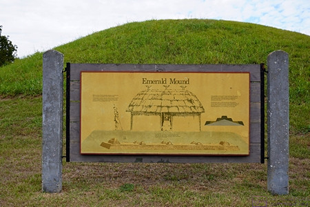
This information sign and graphic provided a visualization of how archeologists think the structures atop Emerald Mound were arranged, appeared, and used.
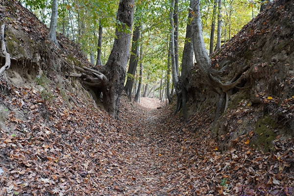
Another section of the Old Natchez Trace. Sections like this are sometimes labeled “Sunken Trace,” but if that was the case here, I did not document it.
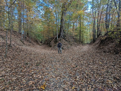
A picture of me for scale (and just because) at a point where the Natchez Trace splits into two paths. We rarely saw splits like this, and have no idea how common or rare this was on the original trail.
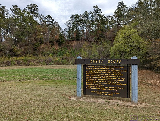
LOESS BLUFF information sign. The loess bluff is the shear area behind the sign, From MS Edge (Co-Pilot): A loess bluff is a fascinating geological feature formed by the accumulation of windblown sediment known as loess. Loess (pronounced LOW-ess) is a type of fine-grained, silty soil composed of particles deposited by the wind. It’s typically light yellow or tan in color. During the Ice Age, glaciers covered the northern half of the United States. As these glaciers receded, they left behind vast expanses of bare land. Continuous dust storms swept in from the western plains, carrying fine particles of dust and soil. These winds deposited the loess layer over the landscape. The result? Bluffs—steep, elevated landforms—made up of this windblown topsoil. Loess bluffs can be found in various regions around the world. … Mississippi also boasts its own loess bluffs, where nearly continuous dust storms during the Ice Age created a layer of sandy soil 30 to 90 feet deep.
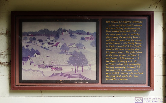
THE TOWN OF ROCKY SPRINGS information sign. The town was first settled in the 1790’s. In 1860 it had a population of 2,616 people spread over a 25 square mile area. Over 2,000 of those people were slaves who tended the fields of cotton, the main crop that made this town possible.
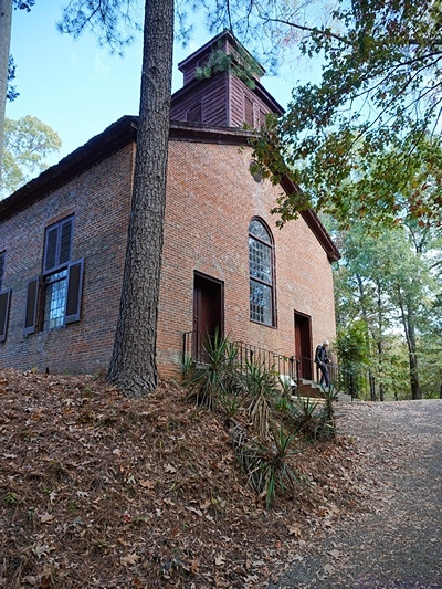
The historic Methodist church in Rocky Springs, Mississippi is the only remaining structure of Rocky Springs and continued to hold Sunday services until 2010. The site and church are now maintained by the National Park Service.
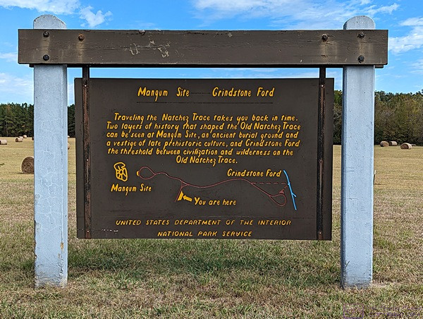
MAGNUM SITE and GRINDSTONE FORD information sign. The Magnum Site is a prehistoric mound and the Grindstone Ford was the threshold between civilization and wilderness on the Old Natchez Trace.
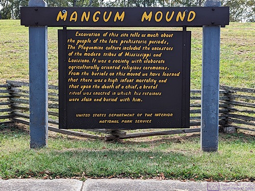
MAGNUM MOUND information sign. Archeological excavation of this mound revealed much evidence about the prehistoric Plaquemine culture that was the precursor of the modern tribes of Louisiana and Mississippi.
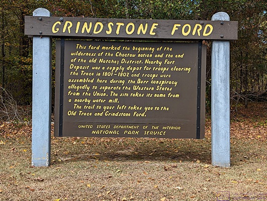
GRINDSTONE FORD information sign. The FORD marked the end of the old Natchez Trace District and the beginning of the (wilderness of the) Choctaw Nation. But it was only “wilderness” in the eyes of the Europeans who were moving into and “settling” the area.
And that is the end of my 14th and last post on our trip down the Natchez Trace National Parkway. It was a trip we had long talked about doing, and even planned for, and we were pleased to have finally done it. Up next, our month in Gulf Shores, Alabama hanging out with friends.
…
