Note: This post contains 8 photos. Photos by me (Bruce) taken with a SONY alpha 6400 or Google Pixel 6 Pro unless otherwise indicated. (Photos by Linda taken with a Google Pixel 6.)
TUESDAY 24 October 2023 — NTNP 7 of 14 — Brices Cross Roads National Battlefield
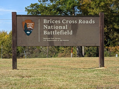
Brices Cross Roads National Battlefield sign.
The Natchez Trace National Parkway (NTNP) passes through a part of the “deep South” that was heavily impacted by the Civil War. From Wikipedia (paraphrased): Brices Cross Roads National Battlefield site memorializes the Battle of Brices Cross Roads in which a U.S. Army force was defeated by a smaller Confederate force commanded by Major-General Nathan Bedford Forrest on June 10, 1864, but nevertheless secured Union supply lines between Nashville and Chattanooga, Tennessee. The 1-acre site is a grassy park with a flagpole, a memorial monument, two cannons, and some information signs. The monument and site are very similar to that at Tupelo National Battlefield. Brices Cross Roads, however, is the only component of the National Park System designated a “battlefield site.” I felt that last point was interesting in and of itself.
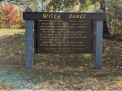
WITCH DANCE information sign. The site of local lore, also part of the history of the Natchez Trace.
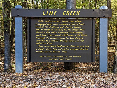
LINE CREEK information sign. A long time ago a nearby creek that flows through this valley was accepted as the boundary between the Chickasaw and Choctaw nations, and remained so until both tribes moved to Oklahoma in the 1830’s. The course of the creek has changed over the years, but the name has stuck.
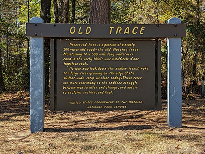
OLD TRACE information sign. A 200+ year old section of the “Old Trace” is preserved here, and we walked it. The sign describes the difficulty of creating and maintaining a nearly 500-mile-long path through the wilderness and how readily nature seeks to reclaim the ground, as shown in the next photograph this section of the trail/road.
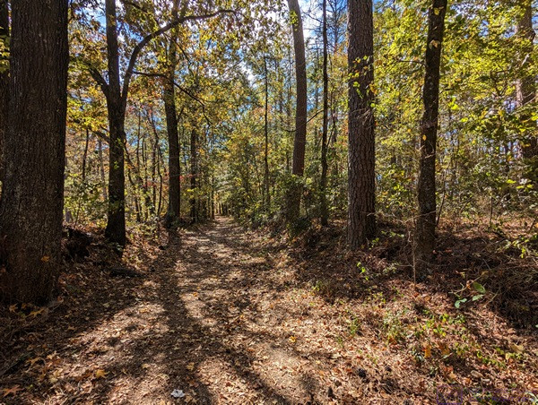
Maintaining this 10-foot-wide section of the Old Trace involves constant work. Without continuous human intervention, nature would, it its own time, completely reclaim this path.
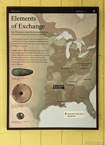
Elements of Exchange. Although the type is too small to read in this photo, the map highlights the territories of the Eastern Woodland nations and discusses the materials that served as “currency” for trading purposes.
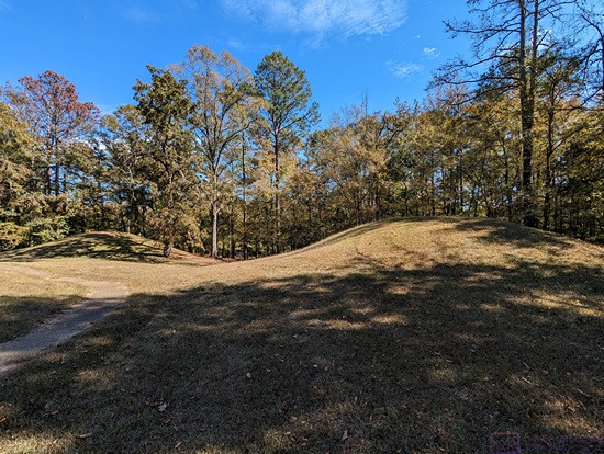
These are obviously mounds, and the photo was taken about 4 minutes after the previous one, so I know they were in the same general area, but we failed to photograph a sign telling me about their significance.
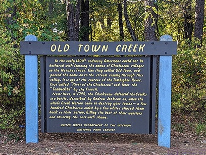
OLD TOWN CREEK information sign. This gist of the historical factoid reported here is that in the early 1800’s ordinary Americans could not be bothered to learn the Chickasaw names for their villages and other landmarks and features. Thus, a nearby village was dubbed “Old Town” and the name eventually became attached to the creek that runs through the valley.
…