Author Archives: BRF

About BRF

Default administrator account for The Phase Place.

2013_08_09-12 (F, S, N, M) Odds And Ends

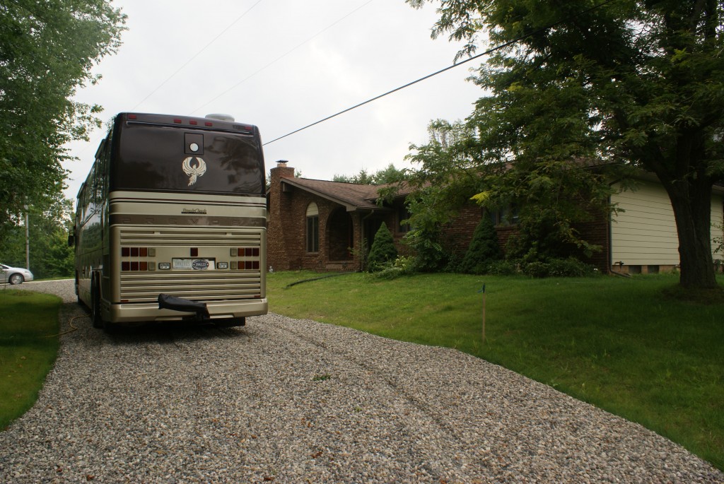
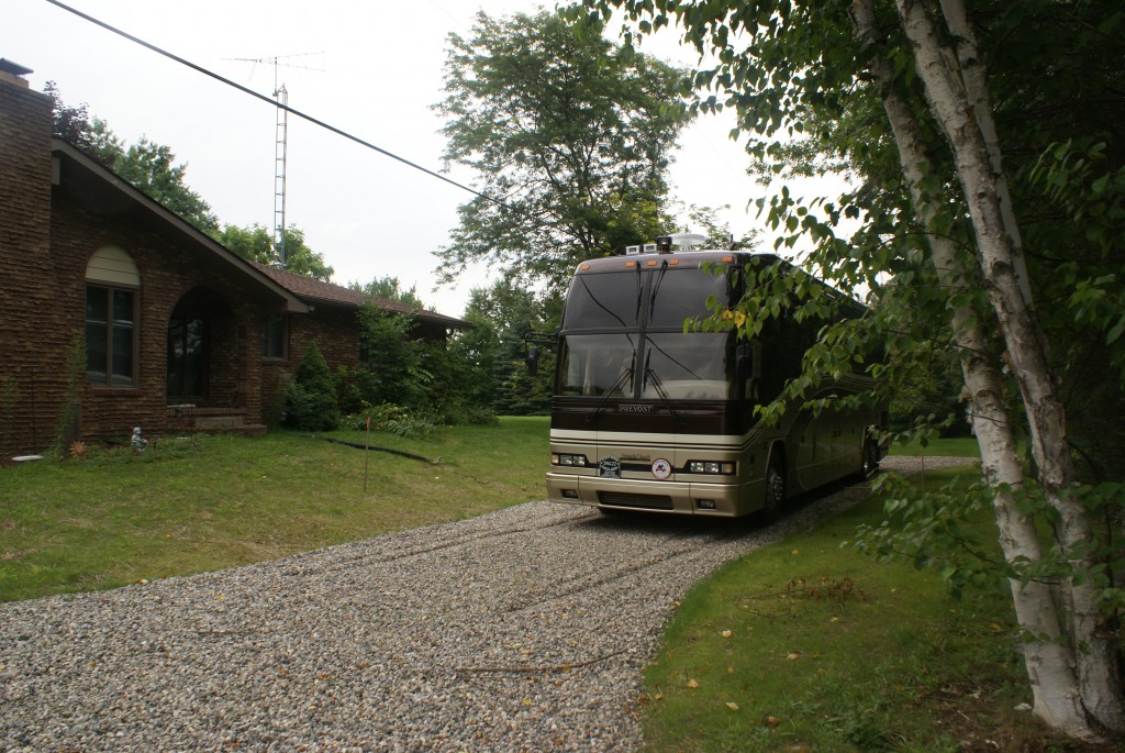
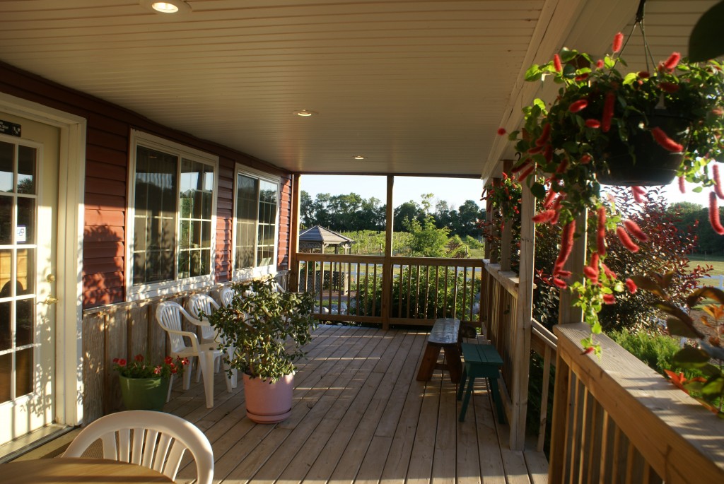
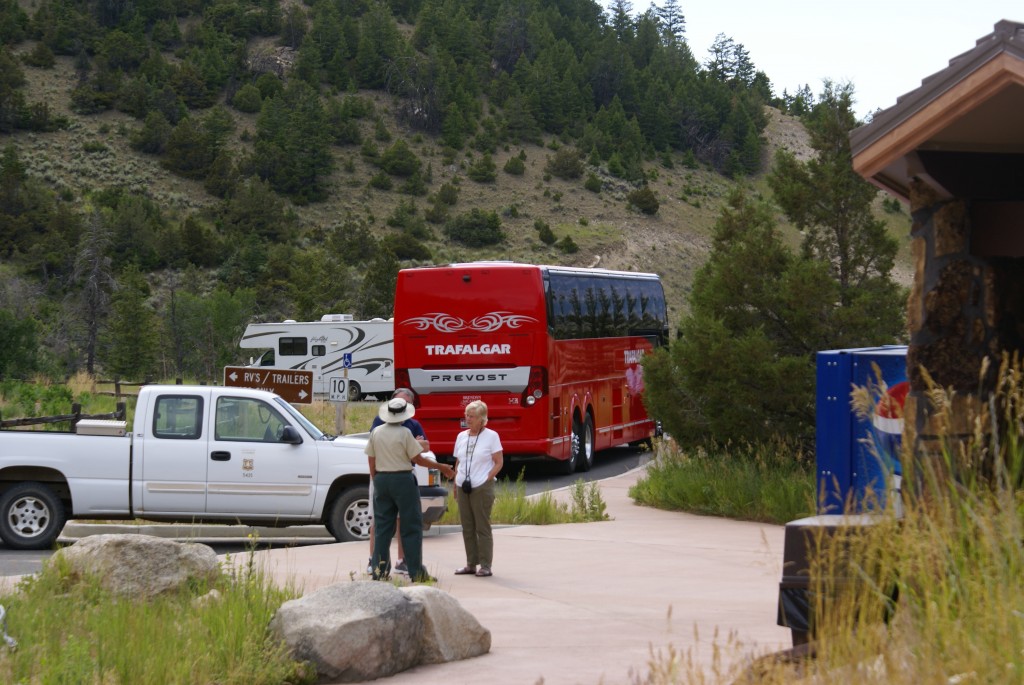
There is a certain routine to being back at the house, and when we are here it feels like we should get back into that routine.  Otherwise, it becomes too easy to sleep in, start slow, and not get around to even thinking about doing things until the afternoon, by which time it is too late to start anything.

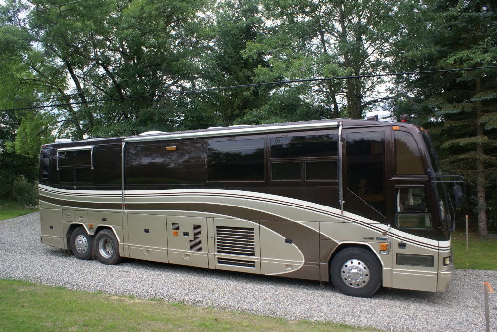
Friday we were still unloading a few things from the bus, finishing up laundry (me), weeding the flower beds (Linda), catching up on accounting tasks (Linda), catching up on operating system updates (me), and other such necessities of daily living.  I placed calls to various service providers and filled out an online trouble report to try and get our AT&T phone line back in service.  Based on the missed calls on our answering machine, it appears that the phone line quite working around June 25th.  What I found interesting was that our High Speed Internet (HSI/DSL) worked fine and never went out.

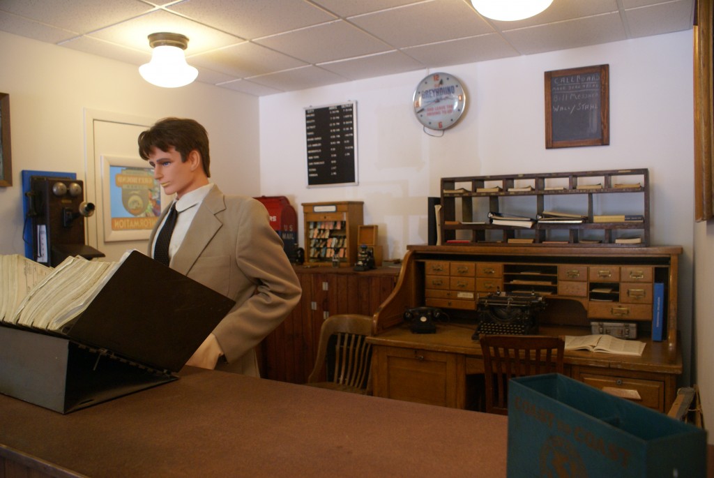
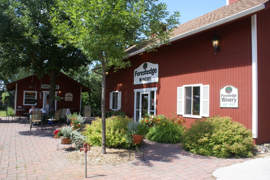
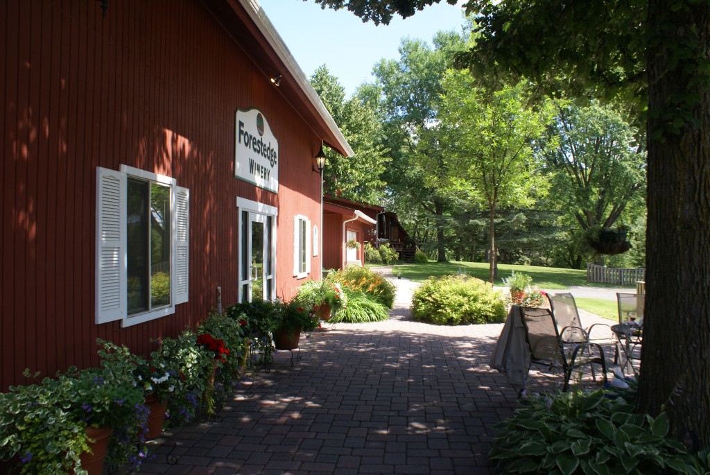
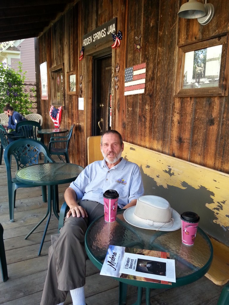
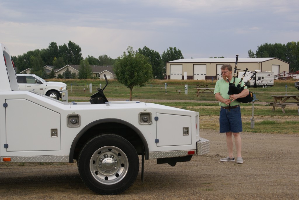
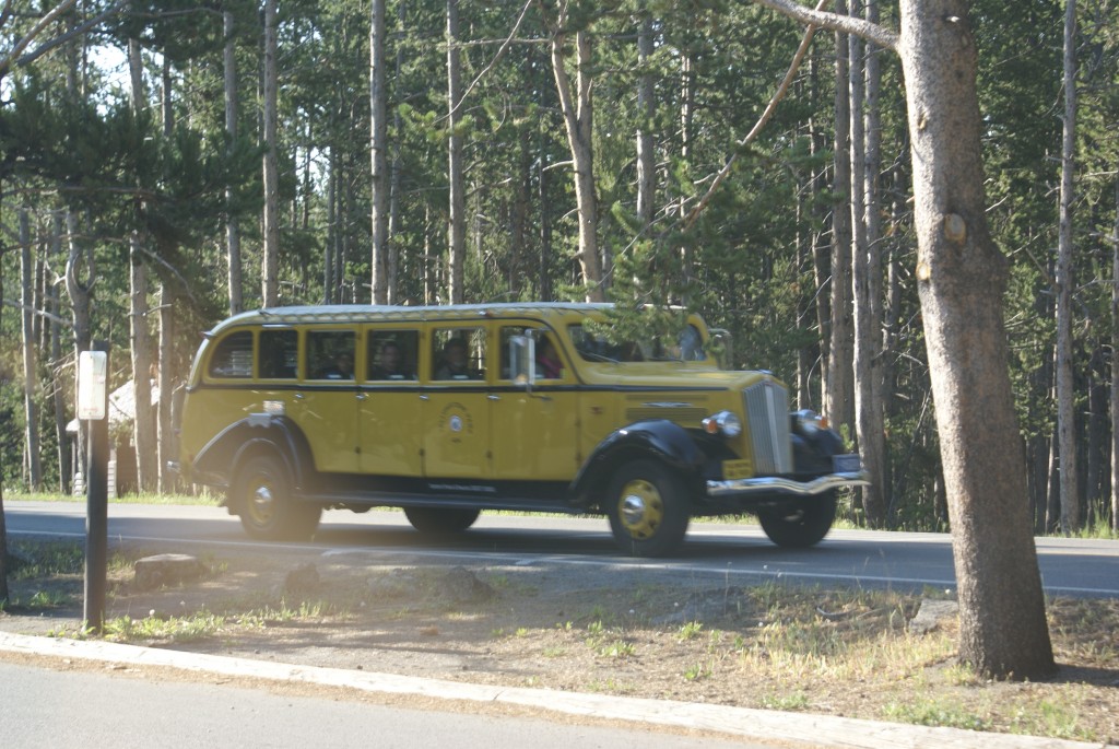
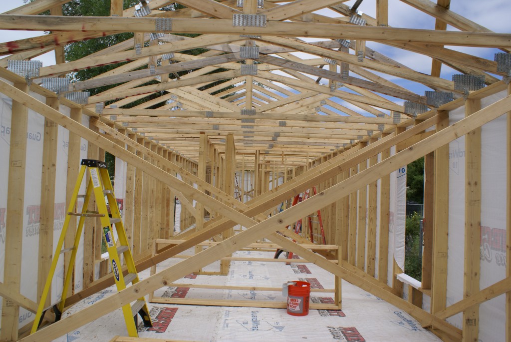
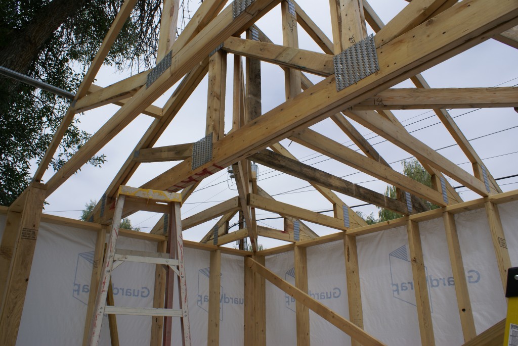
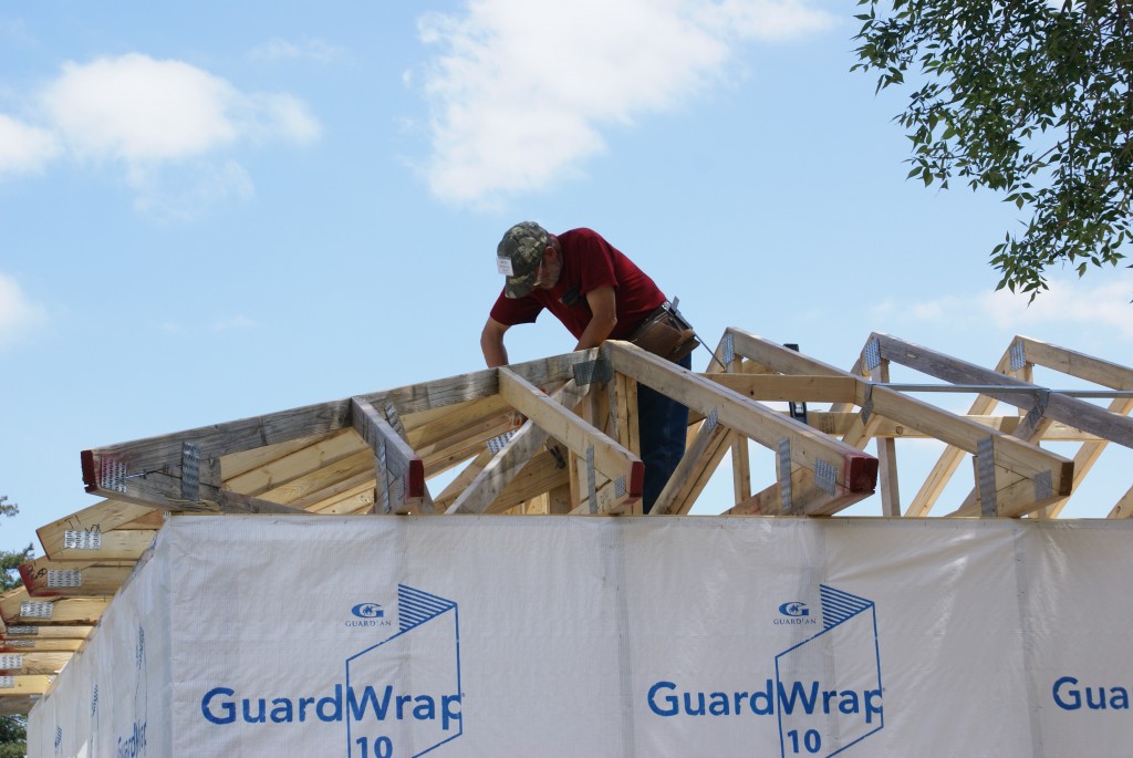
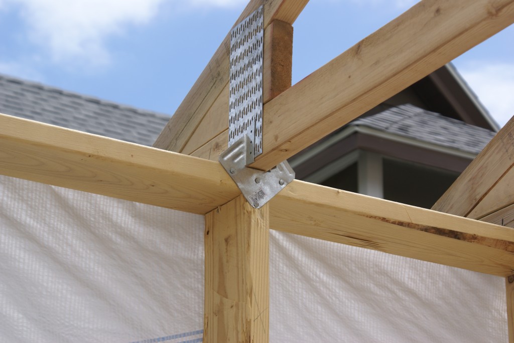
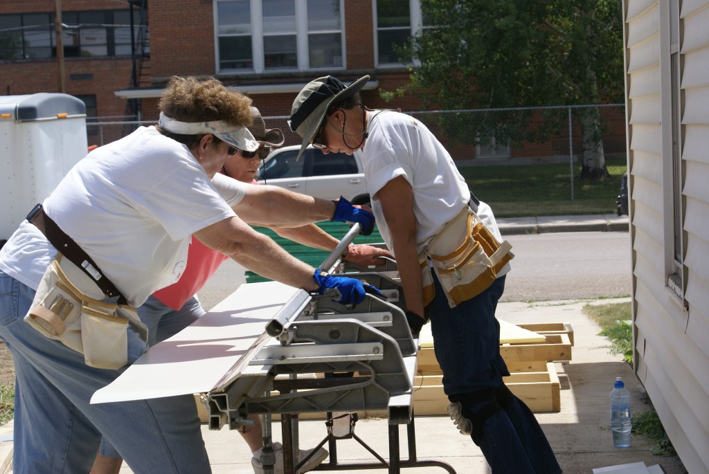
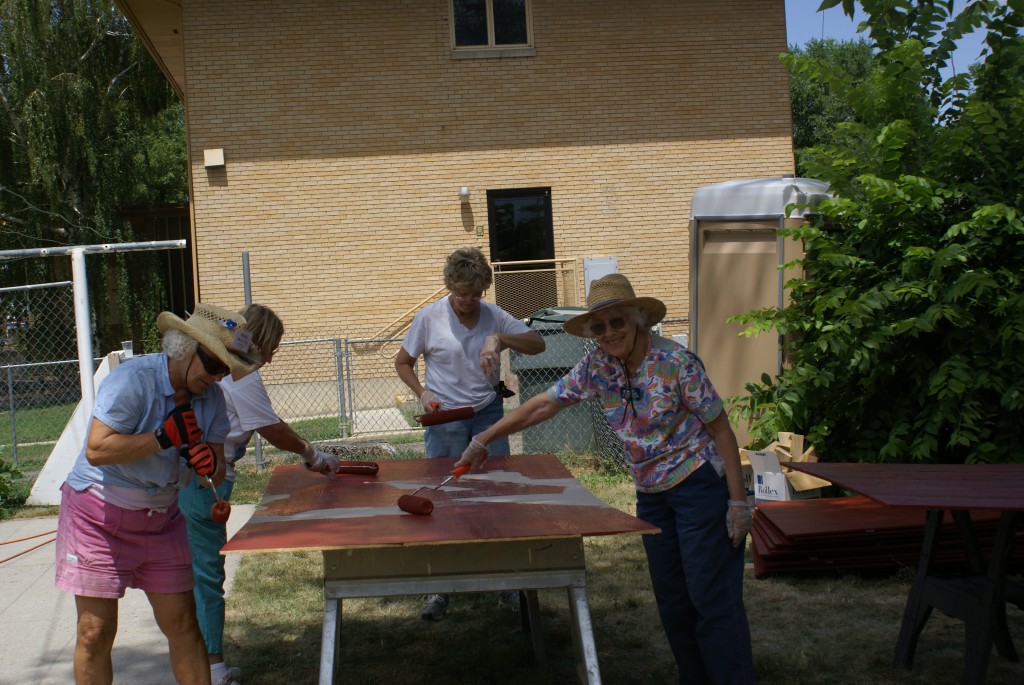
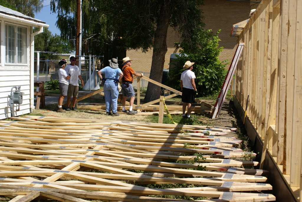
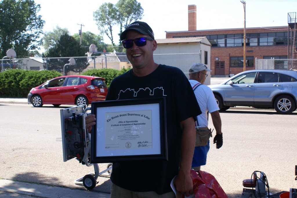
With necessary chores attended to I turned my attention to writing first drafts of articles for Bus Conversions Magazine (BCM).  I had started an article a while back on the exterior makeover so finished a first draft of that and sent it off to Michele Henry of Phoenix Paint for review.  I had six other projects I had worked on the last 11 months that I also thought would make good articles.  Over the course of the weekend I completed first drafts of all six and sent all seven article drafts off to the Publisher (Gary Hall) and Editor (Wendy Crosby) of BCM, sans pictures.

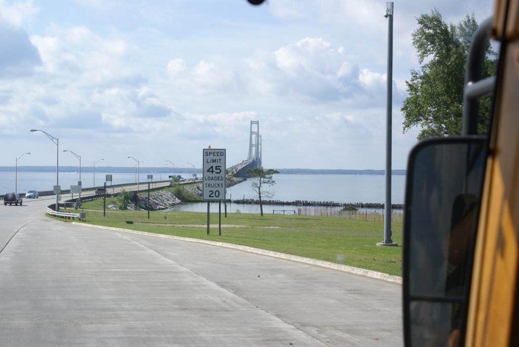
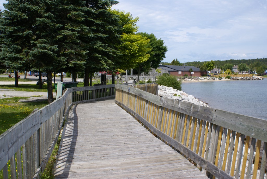
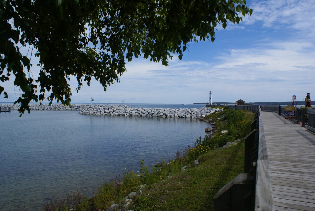
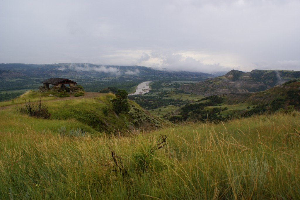
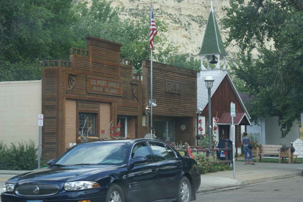
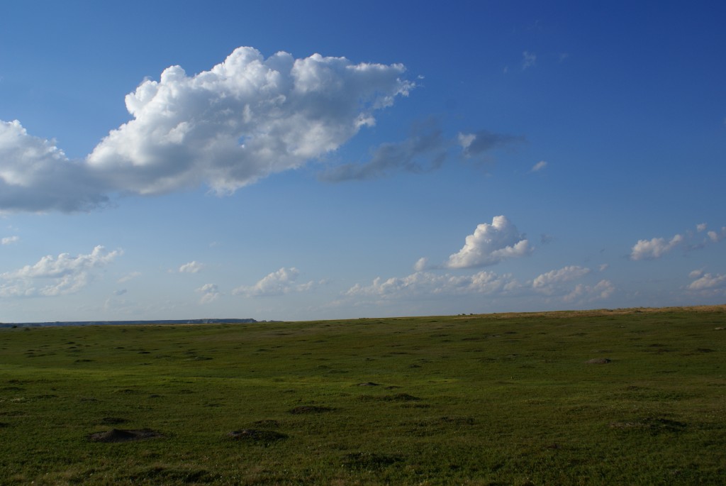
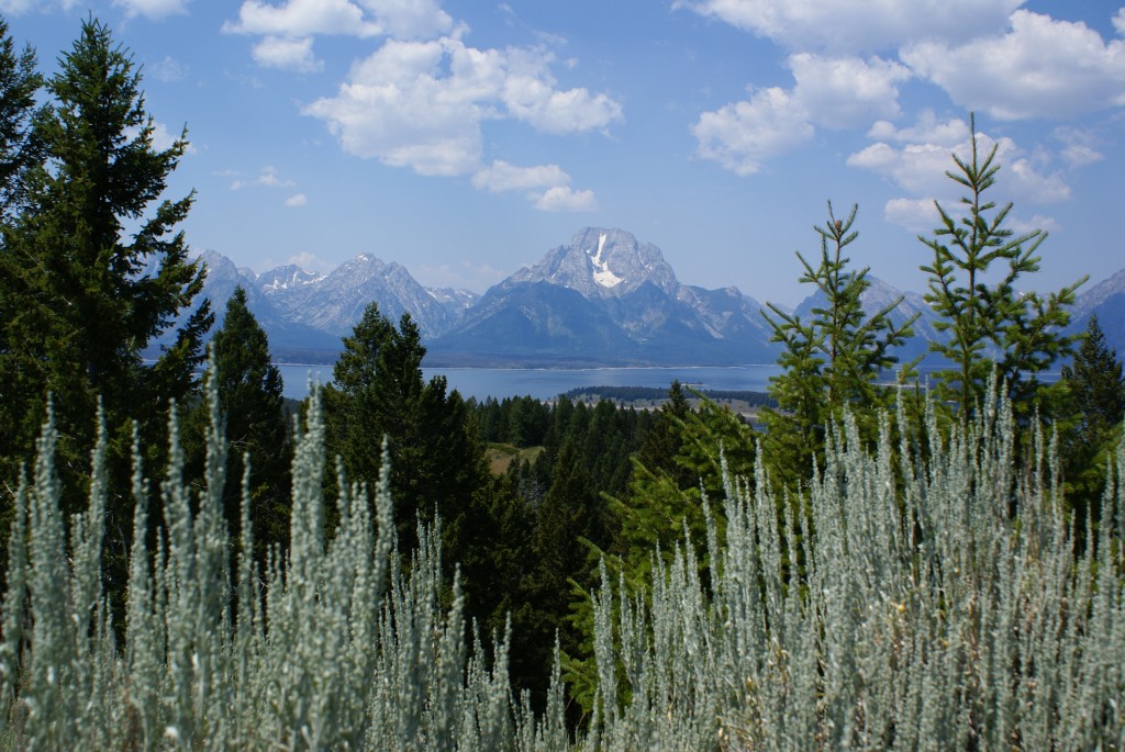
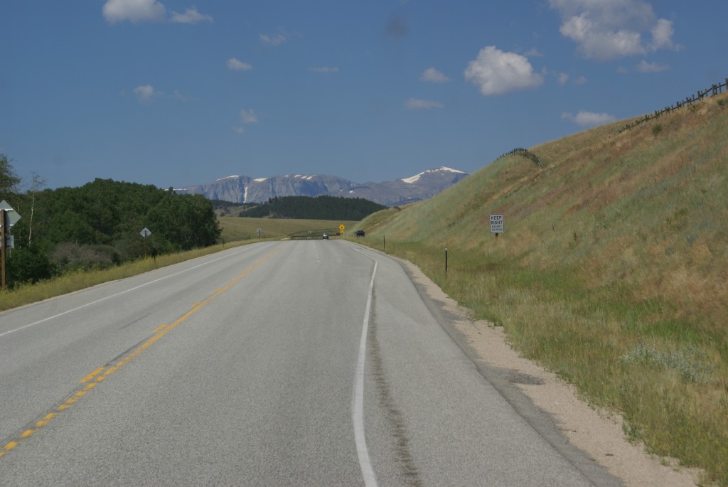
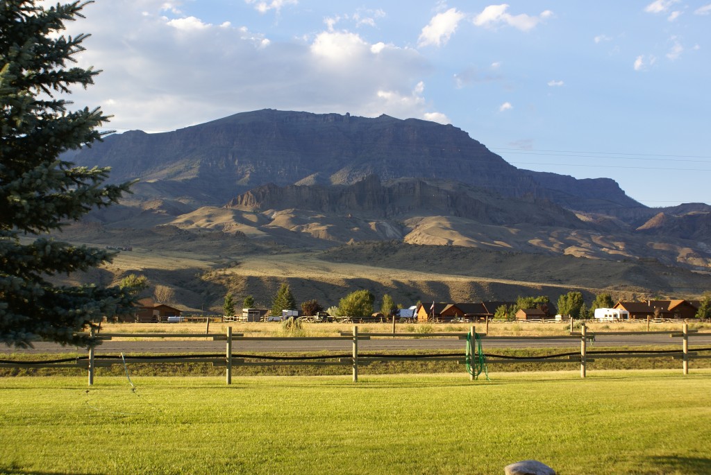
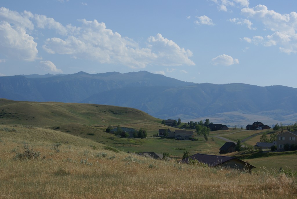
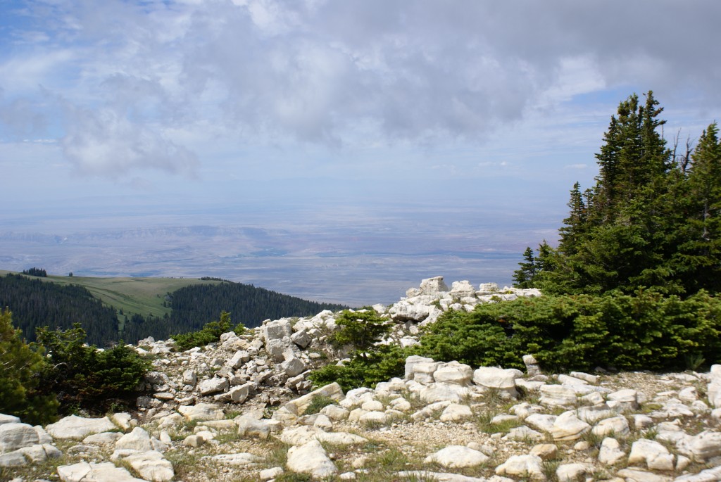
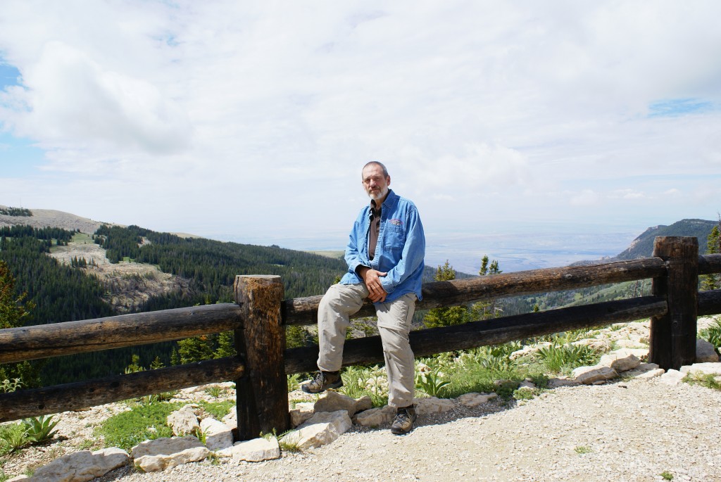
Until today (Monday) the weather has been delightful since we returned, with blue skies, a few puffy white clouds, highs in the low-to-mid 70’s and lows in the upper 50’s.  Friday evening we decided to get out of the house for a while so we drove to downtown Brighton and went for a walk along the Mill Pond.  This is a large pond formed by a small dam in the heart of downtown, and it has a boardwalk that runs along the east side for about 1/2 mile.  Besides people there were ducks and geese, including babies, and a swan.  We also saw bluebirds and two muskrats.  Downtown Brighton is a happening place on a Friday night.  There were lots of people at the many restaurants, but equally many out walking.

Part of our routine is Saturday morning ham radio breakfast, usually with the South Lyon Area Amateur Radio Club (SLAARC) of which we are members, but occasionally with the Novi Radio Club.  Having been gone for a while we went to the SLAARC breakfast.  It was good to see our ham radio friends and catch up on what everyone has been doing.  Folks were interested in our travels, of course, and we enjoyed sharing a little bit about that.

Back home I decided to run a computer network cable from our AT&T Gateway to my office in the basement so I could connect the computers down there to a hub and and connect it back to the Gateway.  I’ve been trying to accomplish this connectivity with WiFi, but have had limited success.  I ran a small experiment first to make sure it would work, plugging my laptop into the hub and the hub into the Gateway with all of the components in close physical proximity to the Gateway.  It worked, so I proceeded with the larger project.

I had to enlarge a hole from the basement up into the wall cavity behind Linda’s desk, and managed to nick the Cat5 cable that carries the DSL/phone signal to the Gateway.  Naturally the AT&T repair truck showed up a short time later.  That did not turn out to be problem, however, as the technician very quickly determined that the problem was somewhere upstream in their system.  He had our signals restored at the outside junction box long before I was ready to reconnect to them.

I managed to get the Cat6 network cable run through the suspended ceiling in the basement and into the office.  I put the hub in the center of the room and ran the longest cables I had from various devices across the floor and over things.  I would include a picture, but it isn’t a pretty sight.  😉  The hardwired connection isn’t necessarily faster than the wireless one, but it stays connected, which is more important than speed.

While I was at it I decided to run a new, higher quality Cat6 cable from the AT&T junction box (outside) to the AT&T Gateway (inside).  After poking around in the attics above the garage and the house, I decided that this was not a project that had to be done at this time.  As I have worked on projects in the basement I have been removing old telephone wires as we use a cordless phone system and the wiring is obsolete.  I was going to to continue that work, but decided for now to just fix the cable I had damaged and get our phone/DSL connections back on line.

Another part of our routine is the Sunday morning Howell Farmers Market.  The nice weather continued and we enjoyed strolling through the market and talking to the vendors.  We bought some corn and peppers and herbs.  We bought some more coffee beans from Irene’s Beans of Milford, and also from Teeko’s of Howell.  Teeko’s is not far from our house and they keep their beans green until you buy them.  They then roast them to your taste while you wait.  They have a very wide selection of beans, including 100% Kona and Jamaica Blue Mountain.  These are premium coffee beans and are not generally available even at upscale food markets.

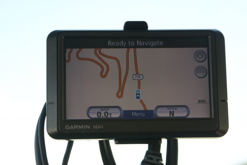
On Sunday Linda split her time between weeding, her computer, and just relaxing, which usually involves reading.  Of course she also took time to make meals, which were good, as usual.  I continued working on articles drafts and started updating our GPS units.  I had the docking/update software for both units installed on an older laptop that is not very fast, even with a hardwired network connection.  I replaced the hard disk drive in that laptop some time ago with a solid state drive as I plan to use that computer to run the Silverleaf VMSpc software for monitoring the bus engine while I drive.  I figured the SSD would be more tolerant of bumps and vibrations.  It probably is, but I did not figure on how incredibly slow it would be.

It took quite a while, but I got the Garmin nüvi 465T updated.  This is a nice little GPS unit designed for truckers (the T model) with a 4″ diagonal screen.  Because it is designed for truckers, we can create profiles for different vehicles/combinations, including length, width, height, and weight.  That is very handy when driving a large vehicle.  We use it in the toad, and as a backup for the bus.  I need to move the docking software to my newer laptop if I can figure out how to do it.  Part of the problem is that I also have map subscriptions installed on the old laptop and have to move those as well.

Sunday night was our monthly SLAARC meeting in South Lyon.  Linda opted not to go, but as the Vice-President of the club for this year, I really needed to make an appearance.  Besides, the program was on how to use an oscilloscope.  The presenter was (Dr.) Steve Smith, N8AR, a member of our club and retired electrical/communications engineer who worked on the space program at one point in his career.  Steve has done a number of presentations for our club.  They are always good, and they always draw a crowd, and this was no exception.

This morning (Monday the 12th) we woke to find it very overcast with a high probability of showers for most of the day.  That meant we would not be doing much outside work today.  Our Honda Element (towed vehicle) was overdue for it’s 75,000 mile service, so we took it to Brighton Honda right after breakfast.  While I was getting it written up Linda picked up my favorite Amy’s frozen pizza for dinner as she had plans for dinner and movie with Diane; their belated annual birthday night out.

I planned to continue working on my articles for BCM, selecting, adding, and annotating photos to illustrate them.  But first I decided to install the docking software for our Rand-McNally RVND7710 GPS.  That was easy; the software resides in the non-volatile memory of the unit, which connects to the computer via a USB cable.  I checked for updates; there were some, so I installed them.

I then decided to purchase the Lifetime Map updates, which I had not done previously.  I accomplished that easily enough but had a little trouble getting the docking software to accept the Activation Key.  Closing the software, powering the GPS down, turning it back on, and re-launching the docking software got it to work, but that wasn’t part of the instructions.  Great; time to download and install updated maps, which I did.  It took eight (8) hours!  I know our Internet connection is not very fast, and  I have no idea how much data got downloaded, but 8 hours?!  Unfortunately that tied up my laptop for most of the day, so whatever else I had hoped to accomplish got delayed.  But that was OK; it rained all day, and a slower pace with a subdued tone somehow seemed appropriate.


2013_08_08 (Thu) Settling In

Today was a settling in kind of day.  Linda spent much of it working at her desk on accounting and tax returns, with a break for grocery shopping, cooking, and a walk on an absolutely perfect Michigan summer afternoon.

I spent most of the day at my desk as well trying to diagnose our non-functioning AT&T home phone line and filing an online repair order.  I caught up on correspondence, backed up and moved computer files around, and got back to the task of writing articles for Bus Conversion Magazine.  I also finally got to be present when the backup generator started up at noon for its weekly self-test.

For dinner Linda prepared a dish using quinoa, black beans, corn, onions, and garlic in a little bit of vegetable broth and seasoned with salt, pepper, cumin, and cayenne pepper.  The dish had just a hint of heat but let the flavors of the ingredients come through.  She served it along side baby bok choy that she quartered and roasted.  Bok choy has a taste/texture suggestive of Brussels sprouts or cooked cabbage, but more subtle.  I drizzled mine lightly with white vinegar for a little added zing.  A small glass of Summer Sunset from Leelanau Cellars completed the meal.  Latter we had fresh strawberries for dessert.

2013_08_07 (Wed) Family Time

Our daughter and our son and his daughter came to visit and have lunch today.  While we have lots of projects in the queue, both for the bus and the house, seeing family and friends is the main thing that will draw us home each time we are gone.  The pictures tell the story:

Madeline (8 months old) with her giraffe, Sophie.

Madeline (8 months old) with her giraffe, Sophie.

Madeline with her grandma Linda.

Madeline with her grandma Linda.

Madeline with her dad and grandma Linda.

Madeline with her dad and grandma Linda.

Madeline with her Aunt Meghan.

Madeline with her Aunt Meghan.


2013_08_06 (Tue) Back Home (For Now)

Today was the final leg of our summer 2013 extended RVing trial run.  We had less than 250 miles to travel, all of it in Michigan, so we were in no hurry to leave the Tiki RV Park in St. Ignace.  We slept in, had a leisurely breakfast, checked e-mail, visited favorite websites, and eventually prepped the rig for travel; a typical “retired and RVing” kind of morning.  🙂

We dumped the waste tanks and added our usual cleaning solution and some water, and put a ¼ tank of fresh water on board “just in case” we needed it.  We didn’t; there were plenty of rest stops on I-75.  We had spent the last six nights not connected to fresh water or sewers.  We had not been conserving fresh water or minimizing waste water as we had water and sewer available on three of those six nights, but we wanted to see how long we could go to try to gage our ability to boondock.  Water, both fresh and waste, is our limiting factor for boondocking.  Our fresh water tank had just reached empty this morning and our waste tanks were not completely full, so it appears that we could go 7 or 8 nights, possibly 9 or 10 with careful resource management, before having to dump and fill.

The Mackinac Bridge connects Michigan’s two peninsulas.

The Mackinac Bridge connects Michigan’s two peninsulas.

We left Tiki around 11 AM and headed north out of St. Ignace, the same way we had come in.  It’s only a few miles to the I-75 interchange and this approach avoids driving through downtown St. Ignace.  Large profile vehicles can make it through Main Street with no problem, but there is a steady flow of traffic that stops frequently for pedestrians and for vehicles making turns.  About three miles after getting on southbound I-75 we crossed the Mackinac (pronounced “Mac in naw”) Bridge, affectionately known to Michiganders (or Michiganians, depending who you ask) as the “Big Mac.”  I believe it had that nickname long before a certain fast food chain introduced their heart-attack-on-a-bun by the same name.  The bridge is five miles long and spans the Straits of Mackinac.  The speed limit for “loaded trucks” is 20 MPH, and this is one of those times when we chose to consider our bus to be a truck.  It doesn’t sound like anything special, but the bridge crossing took 15 minutes at that speed.  That’s either a long time to enjoy the view, or a long time for the navigator to keep her eyes closed.  😉

The coach in the new pull-through driveway in front of the house.

The coach in the new pull-through driveway in front of the house.

In times past crossing the bridge with a 3-axle motorhome towing a 2-axle car was expensive as they charged by the axle, making the price for the combinaton the same as for an 80,000 lb semi.  As a result, many RVers would disconnect their towed vehicle form their motorhome before crossing the bridge, drive them across separately (if they had two drivers), and reconnect them on the other side.  More recently, the Bridge Authority changed the toll for a 3-axle motorhome to $19.  The normal price for a 2-axle car is $4, and they now charge $23 for the combination, eliminating any reason to disconnect the toad.

Ahhh, electrical power.  The bus likes to be plugged in.

Ahhh, electrical power. The bus likes to be plugged in.

The day was cloudy to overcast with a threat of rain that never materialized.  It was cool when we left St. Ignace, and afternoon high temperatures climbed into the mid-to-upper 70’s as we traveled south.  There were several construction zones along the way, but we were able to travel through most of them at 60 MPH, which is the speed we like to travel even when the speed limit is higher.  All-in-all it made for another pleasant travel day, with the added anticipation of returning to our house.  The largest construction zone was over and past the Zilwaukee Bridge near Saginaw where the southbound lanes are closed and southbound traffic is being re-routed to the northbound lanes.  The southbound road south of the bridge is gone and being completely rebuilt for several miles.  The northbound traffic is being re-routed onto I-675 through Saginaw, a relatively short detour.

The coach in front of the house, waiting for its next trip.

The coach in front of the house, waiting for its next trip.

AT the southeast corner of Flint US-23 splits from I-75 and heads due south towards Fenton, Hartland, Brighton, Ann Arbor, Milan, and eventually Sylvania, Ohio and on to Naples, Florida.  We took US-23 to the M-59 exit near Hartland and headed west for two miles to Hacker Road.  A short trip south on Hacker and we were back to our street.  The last ¾ mile was slow as our street is dirt and has potholes, but we finally arrived at our house around 3:30 PM.  We stopped in the street to move the barricades that blocked access to the new pull-through driveway and pulled the coach in; the first time it (or any vehicle) had parked on the new driveway since it was finished in early June (just before we left).

We unhooked the car, repositioned the coach slightly, and plugged it in to the 50A power outlet we installed as part of the driveway project.  Ahhh, power.  We unloaded the cats and reminded them of where their litter tray, food, and water were located in the house.  We then started unloading the house portion of the coach, bringing in only those necessities that we did not also have in the house.  With the front door of the coach parked opposite the front door the house and the coach plugged in to electricity, there wasn’t any urgent need to unload it.  As much as we liked our previous house, the easy of arriving and unpacking confirmed that we had made a good decision to move.

The view from our front porch, just the way we like it.

The view from our front porch, just the way we like it.

We had been tracking the weather while traveling, and it appeared that S. E. Michigan was having a cooler, wetter summer than normal.  This was the first time we had seen our new property during the summer, and the trees, plants, and grass were all lush and doing well.  Linda added some Swiss chard, mushroom broth, and garlic to the end of the Farro dish she made some days ago, and while we enjoyed that with the end of our bottle of Yellowstone Howlin’ Pear wine three young deer chased each other back and forth through our backyard.


2013_08_05 (Mon) A Quiet, Easy Day

Today was our last full day on the road for this trip.  We celebrated by sleeping in, waking up slowly, and having pancakes for breakfast.  Yum.

Main Street, St. Ignace, MI.

Main Street, St. Ignace, MI.

The WiFi at the Tiki RV park was surprisingly good, and I worked on various computer chores, including updating the roster for our FMCA Freethinkers chapter.  Whenever a new member joins, I update the roster and send it out with a request for any corrections.  I typically get corrections from a dozen folks, plus or minus, and end up having to re-issue the roster.  And that’s OK; we are a small chapter and I understand that keeping me informed of these kinds of changes is not a high priority for anyone.  What I hope to do someday is make the roster/directory online and interactive, i.e., allow members to log in and add, change, delete their own information, access the directory, and print a copy to take with them if needed.

Part of the waterfront boardwalk in St. Ignace.

Part of the waterfront boardwalk in St. Ignace.

Late morning we drove into the main part of St. Ignace, parked, and walked the town.  Street parking is metered, but just behind the buildings on the west side of the street is free public parking.  There is a wonderful boardwalk that runs along most of the waterfront from one end of town to the other and it is lovely place for a stroll on a 66 degree day with partly cloudy skies and very light winds, which is just what we had!

The St. Ignace public marina.

The St. Ignace public marina.

Even though this is the height of the tourist season in Michigan, Monday in St. Ignace was fairly quiet.  We stopped at The Garden, one of the two additional restaurants opened by Java Joe’s.  We wanted to try It as they offer various vegetarian and vegan dishes, but they were not open.  Perhaps they only get enough of “us” on weekends to justify being open.

The boardwalk to the marina entrance and light.

The boardwalk to the marina entrance and light.

No problem, Linda fixed some of the Farro dish that was left over from the other night.  She cut up some Swiss chard, lightly steamed it in mushroom broth, added it to the leftovers with a little garlic powder, and heated it up.  Dishes made with Farro seem to hold up well as left overs, and may even improve by being allowed to sit and meld the flavors.  Was it good?  Would I being writing about it if it wasn’t?  It was great!

Linda in front of the Colonial House.

Linda in front of the Colonial House.

Java Joe’s 3rd restaurant in town is Jose’s Cantina.  We went there for dinner and had taco salads with “soy grillers”, hold the cheese.  It was good enough for the price.  We had a table with a view of Lake Huron and Mackinac Island, which was nice.  The place had a steady flow of customers.  Our server, Shantel, was from Manchester, Jamaica, and most of the other wait staff was also Jamaican.  We remembered that on our last trip to St. Ignace we chatted with one of the workers at Java Joe’s (a cook, we think) who was from Jamaica.  What we didn’t know then, but we do know now, is that when the last cruise ships stop visiting Jamaica sometime in April, the tourist dollars dry up as well.  Still, it is a bit surprising, and at the same time delightful, to encounter Jamaicans in St. Ignace, Michigan in August.

A unique RV.  (My picture is crooked, the trailer was fairly level.)

A unique RV. (My picture is crooked, the trailer was fairly level.)

We have seen some unusual RVs along the way, but this was a first.  It’s a pop-up pickup truck camper mounted on a flatbed trailer.  It has front and rear porches, with the front one serving as storage.  I chatted with the owners briefly, and they said they had reached the age where getting it on and off the pickup truck was just too difficult.  I gave them a copy of The Gypsy Journal and dropped off eight more copies in the campground office.


2013_08_04 (Sun) Return to Tiki

Today we drove US-2 from Ironwood, Michigan to St. Ignace, Michigan, a distance of approximately 317 miles.  We were on the road for about 7 hours, including rest/food/fuel stops, and lost an additional hour to the time zone change from CDT to EDT.  That’s more miles and more time than we prefer, but we have done 400 mile days when we needed to.  200 – 250 miles seems to be the sweet spot for us at this point, at least until we get better driver/passenger seats in the coach and seal up the wind leaks around the windshield and entrance door.  (The bus is 23 years old after all.)

Most of US-2 through Michigan’s Upper Peninsula (U.P.) is good, 2-lane road with occasional 4-lane divided and 5-lane (center turn) stretches.  There are also lots of passing lanes, which are needed due to the hilly nature of the western U.P. and the volume of traffic in the central and eastern U.P.  There are places where the surface is rough and bouncy, but on balance it’s a good road to drive.  The speed limit is 55 MPH, but you have to slow down for the small towns.  Even so, we actually prefer traveling on US and state highways rather than Interstates when we can.  And this route gets us home in a reasonably direct way while keeping us as far away from Chicago, Illinois as possible.  My life will not be incomplete if I never drive in, through, or even near Chicago in the bus ever again.

[ A note on Michigan drivers:  speed limits appear to be lower bound suggestions.  One of the nice things about this, is that if you are driving a large vehicle at the posted speed limit, when you get to a passing lane the cars (and trucks) behind you don’t screw around; they step on the accelerator and get around you.  By the time you get to the end of the passing lane, all (or at least most) of the traffic that was behind you is now in front of you.  We did not encounter any blatant bone-headed drivers today, and that helped make for a better and more pleasant drive for us. ]

We had excellent weather for this leg of our trip.  It was 45 degrees F when we woke up this morning.  We pulled out of Curry Park, the city-owned RV park/campground in Ironwood, Michigan at 8:19 CDT.  There were enough discrete clouds to make the sky interesting and the high temperatures only made it into the upper 60’s.  There were plenty of hills and turns in the road, but the bus ran well; it really likes this type of weather and roads.

Although we are trying to learn to be more about the journey than the destination, the reality is that you have to end up someplace each night.  Most of the small towns we went through yesterday and today had signs about not parking overnight on streets and the one Walmart we checked in Ashland, Wisconsin did not allow overnight parking due to a city ordinance.  We took a chance last night (no reservation) and it worked out.  The sites at Curry RV Park were first-come, first-served, but we were in early enough to snag a “full hookup” site even though we only needed/used the electrical connection.  These sites were the only ones that would accommodate our size and turning radius.  That made four nights in a row of boondocking, at least with respect to water and sewage, and three nights for electrical.  We passed several casinos and more than few RV park/campgrounds.  Tonight, however, we wanted to make sure we could get into a RV park/campground with legitimate full hookups as we will need to refill the fresh water and dump the waste tanks before our final leg back to the house on Tuesday.  We also wanted to be positioned so that one more driving day would get us back to our house in southeast Michigan.

Our target was the Tiki RV Park on the north end of St. Ignace, Michigan.  We have stayed at the Tiki before when we had our Itasca Sunrise motorhome, and we liked the park.  We also like the town of St. Ignace, which sits at the north end of the Mackinac Bridge (Big Mac).  St. Ignace is a nice town on the water facing Mackinac Island which lies close by in Lake Huron due east of the town.  It has a marina, which is always interesting and pleasant.  There are plenty of things happening during the summer tourist season.  Like all of the U.P. it never feels crowded and is an unpretentious place.

The five mile long Big Mac connects Michigan’s Lower and Upper Peninsulas, bridging the Straits of Mackinac (pronounced Mack in naw), and is high enough in the center span for very large lake freighters to pass under with lots of room to spare.  We like both of Michigan’s peninsulas, but they are very different.  The U.P. is much more sparsely populated and has a cooler, harsher climate (especially during winter).  Trees and other vegetation tend to be shorter, and in many places it has an “edge of wilderness” feeling.

In spite of previous good experiences, we had an issue with our site at the Tiki.  We had walked to the site to make sure the coach would fit and not encounter any obstructions, but we did not walk the entire route to get to the site.  Big mistake.  The narrow gravel road took us around a sharp curve that did not leave me room to maneuver when I found myself facing low overhanging branches from a fir tree.  Pressing forward, the branches dislodged the top half of our broken searchlight.  Once parked, I had to get the ladder out, climb up, and redo the rescue tape that has held it together since I did this same temporary repair in Gillette, Wyoming back in June.  While I was up there I discovered that the limbs also scratched the paint on the driver-side of the roof.  The scratches are not visible from the ground, but that is not the point.  I consider the RV park responsible for this damage as Linda very clearly explained to them the size of our rig, both when making the reservation and when checking in.  We, however, should have known better than to take their word for it that our coach could make it to and into the site without any difficulties.  We are learning, sometimes the hard way, that we should never discount or dismiss even a minor concern that either one of us has about a situation, and to never take someone else’s word that our coach “will be just fine.”

Once settled in our site, we walked down the hill to Java Joe’s.  Java Joe’s is on the main road at the bottom of the hill leading up to the RV park, and is great place to get coffee, breakfast, etc.  It’s about 1.5 miles from there into town, a flat and very walkable distance on a nice day.  On our previous visits here the place was hopping, but it was mostly empty and quiet this evening.  The owner is a “parrot head” and has a Jimmy Buffett concert playing in an endless loop on a TV monitor the last time we were there.  It was still playing.  We went for coffee as we didn’t have any this morning, but ended up getting a couple of dinner salads, sans cheese, as we had not had sufficient greens for the last few meals.  Since the last time we were here the owner has opened a second location just down the street called The Garden that serves “vegetarian and vegan friendly” food.  We were told they are only open Friday through Monday, 11 AM to 3 PM, so we will probably have lunch there tomorrow.  BTW:  I’m not sure what “vegan friendly food is.”  Either it’s vegan or it’s not.

When we got back to our coach we opened the bottle of Yellowstone Howlin’ Pear wine we purchased at the store in Fishing Bridge, Yellowstone National Park and each had a small glass.  It was a very acceptable wine given that we did not get to taste it before we bought it.  As with accepting other people’s opinions about RV sites, purchasing wine without tasting it first is generally a risky proposition.

We will be at the Tiki RV Park for two nights and then head for home on Tuesday morning.  We have nothing planned for here except to relax and enjoy the local area.


2013_08_03 (Sat) Across The Northern Tier

Today was a travel day, and an uneventful one at that (the best kind).  Linda spent some time last evening and again this morning researching places for us to stay tonight somewhere between Ashland, Wisconsin and Iron Mountain, Michigan.  The choices appeared thin; the Walmart in Ashland didn’t allow RVers to overnight due to a city ordinance, and there did not appear to be a Walmart anywhere in the Upper Peninsula of Michigan.  (I know, I know, that doesn’t seem possible.  It turns out there is one in Ironwood, and probably others we haven’t discovered yet.)  As our route eventually put us on US-2 we settled on a city RV park in Ironwood, Michigan, just over the border with Wisconsin on the north side of the highway.  Based on available online information, this park appeared to have a variety of sites from “full hookup pull-thru” to “no hookup tent site.”  (Note: Full hookup in this case meant 20A electric power, barely sufficient to recharge our house batteries, and run the refrigerator, and run the air compressor.)  The sites were first-come-first-served; no way to make a reservation.  And being a city park, there was no one to call for information on a Saturday, the city offices being closed.  So we did something very unusual for us, we started driving with no guarantee that we would be able to get a site, much less one that our coach would fit in, or if the park was even still open.

We left the Forestedge Winery (very reluctantly) at 9:19 AM CDT and headed south down MN-64 towards Akeley where we picked up MN-34 heading northeast to Walker.  MN-34 ends at MN-200 in Walker and we headed east on MN-200 from there.  MN-200 appears on the map to run straight east-west, but in actuality it bends to the left and right, and goes up and down, through lovely forests and past bodies of water, large and small.  The forests eventually gave way to shorter, scruffier growth and marshy areas that reminded us a great deal of Michigan’s Upper Peninsula.  MN-200 ended at US-2 and we merged on headed southeast to Duluth, Minnesota 52 miles away.

The roads were generally very good, with smooth, quiet surfaces, and we rolled along at 55 MPH except for the occasional idiot who seems unconcerned about pulling out in front of a 41,000 pound vehicle traveling fast enough to turn their sub-compact into a splotch on the highway.  No, we didn’t hit anyone, but one of the things I do not like is having to suddenly get on the brakes.  Buses do not stop quickly (in a short distance) when traveling at highway speeds.  I know that–and I generally try to drive very, very defensively–but I have no control over what other motorists do, and I find in particular that it is not always possible to anticipate what a stupid/oblivious person might do next.  One or my other pet bus peeves?; drivers who wait until the passing lane is about to run out and then decide to try to get around you.  One &%$*(#! did that to me today and he ended up facing oncoming traffic.  I am not going on the shoulder and risking putting a 41,000 pound bus in the ditch for someone that stupid.  I did not encounter the most common peeve situation today, however, as it involves entrance ramps on limited access highways; people who don’t get up to speed and pay not attention to the traffic that is already on the highway and into which they are required to merge, i.e., get up to speed and blend in.

BTW:  The weather today was almost perfect; blue skies with lots of white puffy clouds (enough to create plenty of shaded areas on the highway) and afternoon temperatures in the low 70’s.

Paul had told us to just stick with US-2 east and we would soon find ourselves in Wisconsin, and so it was.  As you approach the northwest corner of Duluth MN-194 splits off to the left and US-2 goes to the right.  Signs make it very, very clear that trucks are to use US-2 to get into, around, or through Duluth; they are NOT to get on MN-194.  One of the interesting things about driving an motorhome that’s really a commercial bus, is there are times when you are not a truck (such as highway weigh scales), and other times when you are, such as any road situation that involves height, width, length, or weight restrictions.  Toll roads are a toss up; some go only by axles, thus treating you like a commercial semi, while others have special fares for RVs and the things they tow.  Also, if you have a Jake Brake (we don’t) local noise ordinances prohibiting their use apply to you the same as they do to commercial vehicles.  If you don’t believe it, try using yours.

US-2 takes you to I-35 south of Duluth.  From I-35 you travel a couple of miles north and onto the Bong bridge which takes you into Wisconsin, or 10th state.  It’s a fairly high bridge, but an easy one to drive over (sorry Nick).

The drive on US-2 across northern Wisconsin was a bit tedious.  The road is rough and noisy in a lot a places, and each town you go through seems to stretch out along the highway for miles and requires you to drive 30 or even 25 MPH.  It will be nice to be back in Michigan where speed limits are almost universally ignored.

We arrived at the Wisconsin/Michigan border around 3:15 PM CDT, returning to our state of origin.  As advertised, we found Curry Park right where it was supposed to be, and it was open for business and mostly empty.  We spotted a pull-through site with good ingress and egress and made pulled in.  It appeared to be an electric only site, so Linda filled out the form and put the required $15 in the envelope.  Turned out that it was full-hookup site, which is $20 per night and the camp host came around later to collect the extra $5.  Even though we only needed the electrical hookup, we were not about to move.

Our neighbors on either side appeared to be off doing whatever it is RVers do in the late afternoon, so we ran our generator for a while to at least bulk charge the house batteries before switching to shore power.  Linda went for a walk around the park and I put the finishing touches on the blog posting for yesterday while keeping an eye on our batteries.

We have to be very thoughtful about how we use the coach and its various (electrical) systems when we only have a 20A electrical connection.  Not cooking dinner avoids having to use power, so Linda (the smartphone/Google queen) found a well-reviewed restaurant in town that was a four block walk from the park on the same side of US-2, and had pizza on the menu; Federico’s MIKES.  Winner.  Well, maybe.  Since we don’t eat dairy products we order our pizza withOUT cheese.  That is guaranteed to get some strange looks and even questions, and the outcome is always a bit of a gamble.  (We had a fabulous vegan pizza in the Black Hills of South Dakota back in June but we have had others that just were not very good.)  The waitress took our order—16” thin crust, no cheese, with onions, mushrooms, olives (black and green), and pineapple—and a young man in the kitchen who obviously loved making pizza threw himself into the task.  He even came out part way through our meal to see if we liked it.  We did, and we told him so.  We saved a few pieces for lunch on the road tomorrow as it will be another travel day for us, boxed it up, and walked back to the park.

Tomorrow we have another travel day, and then plan to stay put for a couple of nights before our final leg back to the house.

2013­_08_02 (Fri) To Hibbing And Back

The west is high, dramatic, stunning, stark, “gorgeous”, awe-inspiring, etc.  It is also dry, hot, and barren in many places.  Northern Minnesota and the Great Lakes Region in general, are beautiful, wooded, lush, green, cooler, and wetter.  Not as good for the sinuses, but every place has its tradeoffs.

We fired up the generator at 0630 CDT to recharge the house batteries after using them all night to run the refrigerator, auxiliary air-compressor, and any small miscellaneous loads that were still on.  I always like to bring them back up to full charge, and I have been determining that by waiting until the remote control/display shows that the charger has gone into “float” mode.  Yesterday I figured out how to find the State Of Charge (SOC) meter, so I can now monitor directly the SOC of the battery bank.

One of the outside buses…This must be the place!

One of the outside buses…This must be the place!

Since Paul and Sharon offered to let us remain boondocked at the winery beyond the normal 1-day Harvest Host period we decided to drive the car to Hibbing, Minnesota to visit the Greyhound Bus Museum.  I have wanted to visit this museum for a while but Hibbing, quite frankly, is not really on the way to anywhere.  Besides the museum Hibbing is home base to the Hull Rust Mohoning iron ore mine, largest open-pit mine in the world.  Up the road at Tower is an underground state park that houses an advanced physics laboratory where scientists are catching quarks.

The Greyhound Bus Museum, Hibbing, MN.

The Greyhound Bus Museum, Hibbing, MN.

The drive to Hibbing took 2 ½ hours.  We spent two hours at the museum.  I wasn’t sure what to expect, but we felt like we more than got our monies worth for the $5 adult admission.  The museum is housed in a nice building with seven buses inside, a nice display of Greyhound artifacts, and lots of information about the origin and development of Greyhound, specifically, and bus transportation in the U.S. more generally.  They have another six buses or so in a fenced lot behind the building.  Most of the buses are open so you can go inside them.  Here are some photos:

They started with a Hupmobile.

They started with a Hupmobile.

The museum has lots of model buses.

The museum has lots of model buses.

An early route map.  It didn’t take long for the business to expand beyond Hibbing.

An early route map. It didn’t take long for the business to expand beyond Hibbing.

Uniforms for drivers came early and changed over the years.

Uniforms for drivers came early and changed over the years.

A 1956 PD4501 Scenic Cruiser.  This is the iconic Greyhound Bus.

A 1956 PD4501 Scenic Cruiser. This is the iconic Greyhound Bus.

A DD 8V71 with numbered parts and a key.

A DD 8V71 with numbered parts and a key.

The Detroit Diesel 8V71 series engines are pre-computer control machines and are still in operation today.

(See http://www.technomadia.com ; they have just had theirs rebuilt and have reported on the experience.)


All of the inside buses lined up in a row, oldest to newest, far to near.

All of the inside buses lined up in a row, oldest to newest, far to near.

The lobby features an old time ticket office diorama.

The lobby features an old time ticket office diorama.

An MCI MC-12 that operated in Canada.  I have never seen an MC-12 converted into an RV.

An MCI MC-12 that operated in Canada. I have never seen an MC-12 converted into an RV.

An MCI MC-5 specially made for use in Saudi Arabia.  Note the double roof.  Its purpose was to “shade” the main roof and dissipate heat to help keep the interior cooler.

An MCI MC-5 specially made for use in Saudi Arabia. Note the double roof. Its purpose was to “shade” the main roof and dissipate heat to help keep the interior cooler.

A pair of 1947 ACF Brill buses in a terminal mockup.

A pair of 1947 ACF Brill buses in a terminal mockup.

Greyhound used Yellow Coach buses in the 30’s and some ACF buses, but eventually used GMC buses (many different models) until GM stopped making them in the 1970’s.  Somewhere along the line Greyhound started using MCI buses (MC-5, 7, 9, 12, and later 96- and 102- series) and over the years bought and used a lot of them.  The MC-5 and MC-9 were particularly popular with bus converters.  Commercial converters, like Custom Coach in Ohio, also did MC-9, as well 102- series, conversions.

An Eagle Chassis and Complete Bus.

An Eagle Chassis and Complete Bus.

Greyhound also ran Eagle coaches.  These became popular with some do-it-yourself motorhome converters because, unlike the GMC buses, the skin was non-structural and could more easily be removed and replaced.  The chassis (skeleton in picture) was made of mild steel, so it was easy to cut and weld to replace rusted pieces or make modifications.  The problem with mild steel, of course, is that is very prone to rust.

A Caterpillar 170 ton mine hauler with 10.5 ft diameter tires.  They also make a 240 ton with 13 ft diameter tires.  I don’t feel as bad now about replacing the 315/80R22.5 Michelins on our rig.

A Caterpillar 170 ton mine hauler with 10.5 ft diameter tires. They also make a 240 ton with 13 ft diameter tires. I don’t feel as bad now about replacing the 315/80R22.5 Michelins on our rig.

The Hull Rust Mohoning Mine Visitor Center is just a mile up the same little road that leads to the bus museum so we drove up there.  To get to the visitor center we drove through a city park that had nice shaded RV electrical hookups.  It was empty except for one tent.  We saw the same thing Wednesday evening in Buffalo, North Dakota; a nice little city park with nine RV sites with electrical power, and it was empty.  These parks seem to run $15/night, cheaper by the week or month.  Not that we would want to stay that long, but the price is right for what you get, especially if there are things you want to do in the area.  The challenge is finding these facilities.

The 2,200 HP 16 cylinder Cat engine that moves the mine hauler.

The 2,200 HP 16 cylinder Cat engine that moves the mine hauler.

The wheels on the mine haulers are driven by electric motors.  The Caterpillar power module consists of a 2,200 HP 16 cylinder turbo-charged diesel engine that drives an electric alternator (the large cylinder lower left in photo) and a radiator and cooling tank.  The power module with radiator, as shown, weights 28,000 pounds.  In operation it burns 28 gallons of diesel fuel per hour.  The hauler can reach a top speed of 30 MPH while carrying 170 or 240 tons of mined material.  I think the 6 MPG we get from out bus is pretty good!

A small portion of a big hole in the ground, currently about 600 feet deep.

A small portion of a big hole in the ground, currently about 600 feet deep.

We spent about 45  minutes at the mine looking at the equipment displays and the big hole in the ground.  Our GPS says it’s a huge lake, and at one time it had water to a depth of 325 feet, but it is still an active mine and they pumped most of the water out so they could work. Part of the original town of Hibbing had to be moved because of this mine, and it was the split into two pieces that led to the formation of the business(es) that became Greyhound Bus Lines and successor companies.

Hibbing is also the home town of Bob Dylan so Linda pulled up some information about his childhood home on her smartphone.  It was supposed to be at 7th Avenue E (Bob Dylan Avenue) and 21st St., but we could not locate the house.  On the drive up and back we passed through Grand Rapids (Minnesota, of course) and discovered that it was the birthplace of Judy Garland.  Everybody is from somewhere.

An interesting note about Hibbing and the mine; if you look at the Minnesota state highway map and peruse the area around Hibbing, you will see brown lines that demarcate the boundaries of the three watersheds that are found in Minnesota, namely: the Mississippi River, the Atlantic (via Great Lakes / St. Lawrence Seaway), and the Hudson (Bay).  About two miles NNW of the mine visitor center and viewing area is the point, unique in North America, where these three watershed boundaries meet.  Depending on exactly where a raindrop falls, it will end up in one of three very different places (assuming it doesn’t evaporate and soak into the ground).

[18 L We were parked next to this aspen grove while at Forestedge Winery, a most appropriate name for the place.]

We were parked next to this aspen grove while at Forestedge Winery, a most appropriate name for the place.

We were parked next to this aspen grove while at Forestedge Winery, a most appropriate name for the place.

We got back to Forestedge Winery before they closed and sampled some of their Plum wine, which we had somehow missed yesterday.  Sharon had left for Iowa for her mother’s 93rd birthday so we invited Paul to dine with us and he accepted.  Linda made a nice salad and a Farro dish with sun-dried tomatoes, kale, onion, garlic, and Italian seasonings.  Paul brought a bottle of Headwaters Red wine, his rhubarb and chokecherry blend.  The meal was yummy, the wine was just right, and the conversation went on for quite a while.  This is one of the reasons we retired and decided to hit the road.  It isn’t just about spectacular scenery and historically interesting places; it’s about encounters with spectacular and interesting people.  Thank you, Paul and Sharon, for your hospitality.


2013_08_01 (Thu) A Short Drive And A Winery

Jasper on the couch.

Jasper on the couch.

We only had 168 miles to travel today to get from Red Trail Vineyards in Buffalo, North Dakota to the Forestedge Winery in Laporte, Minnesota so we were in no particular hurry to leave.  I was up by 7 AM, however, so I could turn the generator on and top up the house batteries before we hit the road.  I also wanted to add air to the driver-side front tire as I noticed yesterday when I checked the Pressure Pro Tire Pressure Monitoring System that it was starting to read a little lower than I would like.

Juniper by the windshield.

Juniper by the windshield.

Since I was up I took the opportunity to take some pictures of the property to replace the ones I inadvertently did not take yesterday and updated yesterday’s blog post with a few of them.  I also took some pictures of our two cats, Jasper and Juniper, who have been with us on this whole trip, but have not received the attention they deserve in this blog.

Adding air to the tires accurately, however, requires that they are cold and all at the same temperature.  It also requires the main engine to be running to get the air tanks up to 120 PSI.  We were parked facing north, and by the time I got around to this task the passenger-side tires were already reading 5-6 PSI higher than the driver-side due to the heat of the morning sun.

I checked the pressure in the driver-side front tire with my tire gauge, and it was reading 110.5 PSI.  This was adequate, but the lower limit of what I want to run, and at least 3 PSI lower than the passenger-side tire.  I hooked up the air hose and chuck to the auxiliary air fitting in the driver-side front bay and tried to raise the pressure in the tire.  In spite of the manifold gauge reading 120 PSI, all I managed to do was lose a few PSI from the tire.  Although the tires have held their pressure fairly well, they have lost a little bit over the course of our trip.  It has become very clear to me that we need to travel with an auxiliary air compressor that is capable of producing at least 150 PSI at the air chuck if we are to have any ability to adjust tire pressures while away from home.

We pulled out of the Red Trail Vineyard around 9:15 AM and continued east on I-94 towards Fargo, ND and Morehead, MN.  Just three miles shy of the border, detoured south on I-29 for ½ miles and exited to go to the Pilot / Flying J truck stop where we topped off the tank.  They have air pressure lines at each pump, and I started to get the air hose, chuck, and gauge out but decided not to.  We have had our PP-TPMS longer than we have had the bus, and in general it works quite well.  It has one major downside, however, namely, that the “baseline” pressure for each tire is determined by whatever pressure is in the tire at the time the tire pressure sensor is threaded onto the valve stem.  Had I removed the sensor at the truck stop, added air, and reinstalled the sensor, it would have reestablished the baseline pressure at a value that was way too high due to the tire already being hot from being driven 35 miles on I-94.  Later, when the coach sat overnight and the tires cooled off, it would have given us a “low tire” alarm, which would have been annoying.  Newer competitive products have addressed this issue by making the baseline pressure something the user programs into the receiver.  The other major downside to the PP-TPMS sensors is that the batteries are not user replaceable.  At some point they will stop working and have to be replaced at a cost of $35-$50 each.  At that point, we will probably just buy a different system with programmable baseline pressures and user replaceable batteries.

Minnesota, our 9th state on this journey.

Minnesota, our 9th state on this journey.

We returned to I-29 north to I-94 east and crossed into Minnesota, our ninth state (including Michigan) since we left in early June.  We had a very pleasant and uneventful drive through very pretty country; the best kind.  Eastern Minnesota was a combination of green rolling crop lands, lovely lakes and ponds, and northern mixed forests.  Our route was I-94 to MN-336 to US-10 to MN-34 to MN-64, and the roads were all very good except for a short stretch of MN-34 with seams at regular, and annoying short, intervals.  The bus ran very well, and the transmission even behaved the way I think a transmission should, shifting between gears on hills as needed with the cruise control set and no intervention from me.  This primarily occurred on stretches of MN-34 and MN-64 where the speed limit was 55 MPH.  Apparently the transmission is willing to drop out of D into 4 (or at least out of torque converter lockup) when climbing hills, something it does not do as often when I am cruising at 62-64 MPH.

The one thing I noticed on this trip was the auxiliary air system pressure gauge I had installed in the cockpit was indicating that the system would reach 120 PSI and then fairly quickly bleed down to about 105 PSI and then re-pressurize to 120 PSI, over, and over, and over…  At the same time the primary and secondary tank gauges indicated that these tanks were holding 120 PSI until I applied the brakes.

Entrance to Forestedge Winery near Laporte, MN.

Entrance to Forestedge Winery near Laporte, MN.

We arrived at the Forestedge Winery around 1:00 PM, pulled around back per Paul Shuster’s e-mailed instructions, got the car unhooked, and got the bus parked and leveled.  We went over and introduced ourselves to Paul.  He was busy serving wine to potential customers, so we went back to the coach and had a bite of lunch.  We then went for a stroll around the property and worked our way back to the tasting room, where we were able to sample most of his wines.

This driveway goes behind the winery, which is where we parked.

This driveway goes behind the winery, which is where we parked.

Paul and Sharon have a very nice operation in a beautiful setting at the edge of the Paul Bunyan State Forest, and across the road from Lake Benedict.  It’s a tourist/vacation/recreation area, and there was a good flow of traffic through the winery.  There is a nicely gardened sitting area outside and besides tasting and purchasing bottles, you can buy a glass of wine and sit outside and drink it.


Our coach and car parked by their Bluebird next to the forest.

Our coach and car parked by their Bluebird next to the forest.

Forestedge makes only “fruit” wines, and has 13 or 14 products.  Although grapes are obviously fruit, this label is used to indicate wines made from any other fruit than grapes.  (Mead, of course, is wine made from honey.)  They started with only rhubarb, and their rhubarb is still grown on the property, but their offerings now include raspberry, strawberry, cranberry, blueberry, chokecherry, black currant, apple, and pear in addition to rhubarb, as well as blends of some of these.  We sampled most of these, and purchased some of the white cranberry, blueberry, chokecherry, black currant, plum, and rhubarb/blueberry.  We won’t be able to do this at every Harvest Host location where we stop, but Paul and Sharon are also members of the FMCA Freethinkers chapter which Linda and I belong to, so there was an additional connection here.  Besides, we liked their wines!  And we decided early in our trip that we were going to purchase wines as our major travel “souvenirs.”  We can enjoy them while traveling, or once we return home, but eventually they are gone and we don’t have to find a long-term place for them in the house.

I finally shut the generator off around 3:30 PM.  I did not let it run long enough this morning to bring the batteries back up to full charge.  In generally it is not good for the batteries to only be partially recharged so I wanted to make sure I did so this afternoon.

The tasting room, art gallery, and patio.

The tasting room, art gallery, and patio.

The weather here was wonderful; blue skies with puffy white clouds and temperatures in the mid-70’s.  We are parked behind a winery, alongside what appear to be a grove of white birch (paper birch) trees, in view of orchards and gardens.  This is no part of this not to like.  While I was resting outside in one of our folding campchairs a Bald Eagle soared overhead.


The tasting room and patio looking towards their house.

The tasting room and patio looking towards their house.

Paul invited us for dinner, so we had to explain “the vegan thing.”  Sharon rose to the challenge, making a green salad with fresh picked greens from her own garden, zucchini and onions sautéed in olive oil, and black beans and rice accompanied by their own Raspberry Rhubarb wine.  We had a long, great conversation over this meal, including some tips on what to see and on our visit to Hibbing, MN tomorrow.  As we left their house to return to our coach his final words for the evening were to not be surprised if we heard wolves howling.  We can only hope.


2013_07­_31 (Wed) Our First Full Month On The Road (revised)

Although we left S. E. Michigan on June 9th, today was the last day of our first full calendar month on the road.  And what better place to spend it than at the Red Trail Vineyard near Buffalo, North Dakota, the first time/place we have (finally) used our Harvest Hosts membership.  But to get there, we had to travel 290 miles from Medora, ND along I-94.

North Dakota is a very pretty place; not as dramatic as the mountain west, but different doesn’t mean lesser.  They have had a lot of rain in parts of the state, so the fields are green and ponds seem to be full to overflowing.  On a map I-94 appears to run straight east and west, but it actually curves left and right quite a bit and for most of this leg was rolling up and down long hills.  As we headed east from Medora the rugged landscape of western ND gave way to major agricultural use and man-made structures became increasingly evident.  I-94 was a good road with very little construction, so I set the cruise control at 63 to 64, and the bus ran strong all day.  Good bus.

The entrance to Red Trail Vineyard, Buffalo, ND - a Harvest Hosts location.

The entrance to Red Trail Vineyard, Buffalo, ND – a Harvest Hosts location.

The Red Trail Vineyard is two miles north of exit 317 on I-94.  Just north of the winery is where the original/historic Red Trail passed through this area, thus the name of the winery.  Proprietor Rodney Hogan was there when we arrived but had to go take care of some things.  We got parked so that we would have an easy exit in the morning, started the generator to bring the house batteries back up to full charge, and then went for a walk through the vineyards.

Our coach in the parking lot of the main building and tasting room.

Our coach in the parking lot of the main building and tasting room.

When Rodney returned we chatted with him a bit.  He suggested we visit the town of Buffalo and gave us a pamphlet on the 1916 high school building that is now on the National Register of Historic Places.  He recommended a place in town to eat, the Old 10 Saloon, and invited us back for a wine tasting at 7 PM since another group had made arrangements for this evening.


The main building and tasting room.

The main building and tasting room.

We paid a visit to the old high school building and met the two ladies who run it on a volunteer basis.  They were expecting us (Rodney told them we might be dropping by).  They have a collection of donated things for sale as a way to raise money for the continued restoration of the building, but we didn’t find anything we could use.  They also had fresh cucumbers and Linda took two.  They were free, but we left a donation.  They gave us a pamphlet with a map of Buffalo and descriptions of some 16 buildings dating from between 1880 and 1920, all of historic interest to the town.  We drove through the town and looked at the buildings, but did stop at the saloon for dinner as that rarely works out well for us.

The front porch looking towards the north vineyard.

The front porch looking towards the north vineyard.

Back at the vineyard, Linda prepared a simple green salad and whole grain shell pasta with portabella mushroom and onion red sauce.  By the time we finished dinner the other party had arrived, so we joined them in the tasting room.  The building is an old grain storage shed that was moved to the vineyard from 12 miles away and then redone for its present use.  The surface of the “bar” is pine and Rodney has engraved a copy of old map of the Red Trail into the surface.

A walk among the south vineyard.

A walk among the south vineyard.

We spent two hours tasting five different wines and having a really fun evening talking with Rodney and the three ladies who were there, all of whom graduated from high school here in 1979.  One of them was related to Rodney, which is why he opened the tasting room on a night when they would normally be closed.  Rodney was an interesting and talkative fellow.  We found two wines that we liked and bought a few bottles.  We were glad that Kim and Don Greene, the owner/operators of Harvest Hosts had personally recommended this vineyard as a stopping point when we were chatting with them back in Gillette, WY six weeks ago.

(BTW:  I had no pictures to share from today.  We were off-loading photo files last night onto our computers and forgot to put the CF card back in the camera.  I have never done that before, and apparently the Sony Alpha 100 is perfectly happy to let you click away with any storage media installed.  I took some photos the next morning but have updated this post to include them here.)


2013_07_30 (Tue) TRNP-NU and Medora ND

Entrance to Red Trail Campground.

Entrance to Red Trail Campground.

We are staying at the Red Trail Campground in Medora, Montana.  The WiFi signal is strong, and the Internet connection is fast enough to work, IF nobody else is using it.  We kept getting disconnected and finally turned on our Verizon MiFi device.  Bingo!  I love 4G/LTE when it’s available.


Entrance to TRNP South Unit in Medora MT.

Entrance to TRNP South Unit in Medora MT.

We decided last night that this morning we would tour the North Unit of the Theodore Roosevelt National Park.  It’s a 62 mile drive to get from the entrance of the South Unit in Medora to the entrance to the North Unit, in the middle of nowhere.  Rain was forecast for today but we wanted to get there early, so we were on the road by 7:15 AM MDT.

(BTW: This MDT thing becomes important in this part of North Dakota as the dividing line between the Mountain and Central Time Zones zigzags around this part of ND basically cutting off the southwest corner of the state for Mountain Time and leaving the rest as Central Time.  A careful look at the state highway map revealed that the dividing line runs right down the middle of the North Unit of TRNP on an east-west line.  We actually crossed the line while in the Park and our phones changed to Central Time for a while.)

The North Unit may be in the middle of nowhere, but it is very much on the route to somewhere, namely Williston, ND some 60 miles north and bit west of the Park.  Williston is the hub of the northeastern Montana / northwestern North Dakota oil boom, and the truck traffic and equipment moving up and down US-85 was something to experience.  Apparently North Dakota expects this to continue for a while as much of this stretch of US-85 is being widened.

CCC shelter overlooking the Little Missouri Scenic River; TRNP North Unit.

CCC shelter overlooking the Little Missouri Scenic River; TRNP North Unit.

Once we turned into the Park, however, all was very quickly quiet and peaceful.  Not being adjacent to a major Interstate Highway, the North Unit is probably much less visited than the South Unit, and we encountered very few other vehicles driving the 14 mile road (28 miles out and back).  The weather was thick, as is obvious in these photographs, but it was an interesting and different way to see the Park.  We encountered a “back country ranger” at this overlook and had a great, long conversation with him about the Park and the area around it.  He told us that the North Unit does not have the wild horses that the South Unit has, but it does have bison, moose, bighorn sheep, and mountain lions.  Although he didn’t mention them, we saw wild turkeys and a pheasant in addition to a couple of bison and deer.

Thick weather in the TRNP NU.

Thick weather in the TRNP NU.

The weather in the North Unit was very thick this morning and the mood in the park is very different in this kind of weather.  The Ranger told us that The North Unit is usually very dry this time of year but has had an unusually high amount of rain this season, and has already exceeded its normal annual rainfall.  The Little Missouri Scenic River has water in it, when it would normally be dry, and the Park has a lot of greenery and flowering plants.

Clouds rolling up out of the river valley to the rim; TRNP NU.

Clouds rolling up out of the river valley to the rim; TRNP NU.

On the drive back to Medora we stopped at the Painted Canyon Rest Area and Visitor Center on I-94.  This facility is located at the southeast corner of the South Unit of TRNP and affords nice views of a corner of the park where the interior roads do not go.


[04722 CN A chokecherry bush (I think).

[04722 CN A chokecherry bush (I think).

Back in Medora, we stopped at the TRNP South Unit Visitor Center, which was closed when we went for our drive last night.  On the way in from the parking lot we passed through an area of plantings that were labeled.  I think this bush was a chokecherry, but I didn’t see a label for it.  There are a lot of chokecherry-based products for sale in Medora, so I’m sticking with my story.

TR’s “nicer” log home, now on display in TRNP SU Visitor Center in Medora MT.

TR’s “nicer” log home, now on display in TRNP SU Visitor Center in Medora MT.

In the backyard of the center is Theodore Roosevelt’s 2nd (and nicer) North Dakota log cabin.  Our timing was good as we got there in time for the 2 PM Ranger-led tour of the house, which is otherwise locked.  It was very fancy for its time (1884), with three rooms, wood floors, an attic, a cold cellar, and glass windows.

We left the South Unit Visitor Center and drove through the adjacent De Mores Meat Packing site, now a state park with the smokestack and remnants of the foundations of the buildings that once stood there.  We then had a slow drive through Medora and back to our coach.  Here are a few pictures of the town:

Just down the street from the entrance to TRNP SU in Medora MT.

Just down the street from the entrance to TRNP SU in Medora MT.

Shouldn’t every pizza parlor have a saloon, and look like this?

Shouldn’t every pizza parlor have a saloon, and look like this?

Medora is a much more refined town than its “rough” exterior suggests.

Medora is a much more refined town than its “rough” exterior suggests.

Even the post office and bank are quaint.

Even the post office and bank are quaint.

For dinner this evening Linda prepared a Kabocha squash that she bought for $1 at the Cody Farmers Market last Saturday.  Niether of us had ever heard of this squash before she bought it.  She cut it in two halves and microwaved them for 8 minutes to start the cooking process and cut down on convention oven time.  She sauteed a mixture of brown rice, onion, garlic, carrots, bell peppers, and kale seasoned with salt, black pepper,dried basil, and Tamari sauce and stuffed the squash halves with it, mounded over the top.  She backed these for 15 minutes at 350 degrees F using convention feature of our convection microwave oven.  The squash came out perfectly cooked with a light yellow to slightly green color that paired wonderfully with the slices of honeydew mellow and the Riesling wine that accompanied the dish.  Savory, nutty, chewy, and a little spicy without being “hot”, it was another wonderful example of what she has learned to do with these basic WFPB ingredients.

We have been back in “vacation mode” last week and this.  We would prefer not to be, but we need to be back in Michigan in early August and are trying to see what we can on this trip with the time we have.  We have not taken hikes that we would like to have taken, done any geocaching, or had the luxury of waiting for the weather to change.  We did not go for pre-dawn or post-dusk drives and we did not stay up late enough to view the stunning night sky at the new moon in the deep, deep darkness of the west.  We did not visit the Chateau De Mores (State Historical Site) or see the Medora Musical (OK, never really planned to).  And we did not bring/operate our ham radios.  But we did what we could with the time that we had, and it was all good.  And when we are be back this way we intend to be managing our time differently.  But for now, tomorrow we must move on and cross North Dakota.


2013_07_29 (Mon) A Short Drive to Another N. P.

We only had 138 miles to travel from Miles City, MT to Medora, ND, and could not check in to the Red Trails RV Park until noon, so we hung around the Meadows RV Park for the morning.  Besides, we had a pretty good Internet connection which made it possible for me to update my posts for Thursday (Chief Joseph & Beartooth scenic drive) and Friday (Grand Teton N. P.), both of which included lots of photos.

I have already had a minor issue with spam comments on our blog.  I mentioned this to Cherie yesterday and she suggested that I install a WordPress plug-in named Akismet.  I discovered that it was already installed but not activated, so I got the API key and activated it.  I hope it helps with the spam problem without interfering with legitimate comments.

If YOU are reading this and think you have posted a legitimate comment that did not get approved or appear on the blog, please send an e-mail to us@omnibus-mi.us

Around 9:00 AM it started raining.  This was the first sustained rain we have experienced since we were in Gillette, Wyoming over a month ago.  It was over by 10:00 AM.  I finished working on the blog just before 11:00 AM.  We finally pulled out around of the Meadows RV Park around 11:10 AM MDT and were through Miles City and back on I-94 eastbound by 11:15.

The weather was partly cloudy and cool, with high temperatures in the region of 78 degrees F.  The terrain was hilly, but not extreme.  I set the cruise control at 63 MPH, 3 MPH faster than normal,  and the coach ran very strong all day while maintaining normal engine temperatures.  On balance it was a pleasant and stress free drive which we both enjoyed.

Goodbye Montana, Hello North Dakota.

Goodbye Montana, Hello North Dakota.

Linda had never been to Montana until this past week, and I don’t think I had ever been in eastern Montana.  For sure neither of us had ever been to North Dakota before, so we did not know what to expect.  I associate this area with the “northern great plains”, meaning endless, treeless fields of waving grain.  Not so Kemosabe.


A taste of things to come.

A taste of things to come.

I-94 going northeast out of Billings tends to follow the Yellowstone River.  This part of Eastern Montana and on into western North Dakota is a minor “badlands” with river valleys and small canyons.  The terrain does roll up and down long hills, and much of it lacks trees.  There are fields and cattle, here and there, but much more of the landscape is rock and sagebrush.  It is a beautiful part of the country; reminiscent of other paces we have been, but uniquely its own.

We arrived in Medora, North Dakota around 1:30 PM (still MDT) and were checked into the Red Trail Campground and parked in our site by 2:00 PM.  This was the first campground we have stayed in with trees and shade since we left our home in S. E. Michigan on June 9th.

Linda with “Teddy Roosevelt” Joe Wiegand.

Linda with “Teddy Roosevelt” Joe Wiegand.

Medora is a charming but modern reconstruction of a western town; small enough to be easily walkable, but with plenty of choices for shopping, lodging, dining, and drinking.  (Hey, it’s still the west.)  Even the campground is part of the town, albeit on the edge and on the other side of the tracks (literally), only a couple of short blocks to the main area.  There are several attractions in town that other RVers had told us about, especially the “cowboy musical.”  Our interest, however, was in Joe Wiegand’s personification of Theodore Roosevelt.  Joe’s performance was outstanding and well worth the $10 adult admission.  He delivered a one hour monologue without missing a beat and took questions, as TR, and answered them without hesitation.  Joe not only resembles TR (at a certain point in his life) he has clearly made a deep and serious study of Roosevelt’s life and internalized it.  The last time we saw something this good was Hal Holbrook’s personification of Mark Twain.

Local coffee with a western feel.

Local coffee with a western feel.

After the performance we stopped at a local coffee shop and sat on their porch enjoying their brew and the view.


The real attraction for us, and our main reason for booking two nights in Medora, was a chance to visit the Theodore Roosevelt National Park.  I-94 is the southern boundary of the South Unit of the Park, and the entrance is right in downtown Medora.  Roosevelt spent time in this area following the death of his mother and first wife on the same day and eventually owned two cattle ranches near Medora.


On the advice of a local bookstore owner we made a last minute decision to drive the 36 mile loop road in the South Unit this evening.  By the time we walked back to the campground and were ready to go it was after 6:00 PM, but our timing was good.  The weather was clear and cool, while there was a possibility of rain for tomorrow, and we had the drama of the early evening sun dropping into the western sky and a better chance of seeing wildlife.  We were not disappointed.  The Park is worth the time to visit, and while we did not see a lot of wildlife, the wildlife we saw was special, and a first for us…wild horses, up close.

A prairie dog town in TRNP.

A prairie dog town in TRNP.

The campground by the river.

The campground by the river.

Our first time ever  to see wild horses.

Our first time ever to see wild horses.

They watched us as much as we watched them.

They watched us as much as we watched them.

Wild horses in a wild setting.

Wild horses in a wild setting.

TRNP In the fading light of evening.

TRNP In the fading light of evening.

Tomorrow we plan to get an early start and visit the North Unit of TRNP.


2013_07_28 (Sun) Heading East

What could have been an easier travel day for us started a bit earlier and got stretched out by our choice to put diesel fuel in the bus (twice) and our desire to stop in Billings, MT for a while to visit with Cherie and Chris of Technomadia.  We pulled out of Green Creek Inn and RV Park just after 8 AM and immediately pulled into the adjacent gas station to the east and added 25 gallons of diesel fuel to the tank as insurance for the first leg of our trip.

We took US-14/16/20 from Wapiti back to Cody where we picked up US-14 Alternate going east.  Yup, that’s the same US-14A we drove across the Bighorn Mountains (in our car) from Burgess Junction to Lovell with a stop at the Bighorn Medicine Wheel.  The stretch from Cody to Garland, however, was in the valley and relatively flat.  In Garland we picked up WY-114 to Deaver and then took US-310 into Montana and finally connected with I-90 eastbound.

We got on I-90 at exit 434 and got off at exit 452.  Those numbers, of course, are miles from where I-90 enters the western edge of the state.  Montana is a big place.  Exit 452 is US-87 / Main St., the truck route through the east end of Billings (known as “the heights”), and the location of Interstate PowerSystems where Chris and Cherie have been since early June getting their 8V71 rebuilt after it developed a problem while traveling in the area east of there.  But they are close to being back on the road, and we just caught them on the first leg of our return trip home.  Although we had a six hour drive to get from Wapiti, WY to Miles City, MT the visit in Billings broke it nicely into two pieces.

Chris and Cherie of Technomadia, “camped” at Interstate PowerSystems.

Chris and Cherie of Technomadia, “camped” at Interstate PowerSystems.

We had a nice visit with Chris and Cherie.  I have been following their blog and purchasing their iPad apps and e-books for some time.  We had met them once before at the mid-August GLCC/CCO Back-To-The-Bricks Rally in Clio, Michigan.  We use Verizon/Android cell phones, and they recently released their “State Lines” app for that market.  Besides both having bus conversions, we have in common that we are both “re-doing” previously converted buses bit-by-bit and contributing articles about it to the recently rejuvenated Bus Conversions Magazine.  Beyond that, they are full-timers (we are not), they are still actively working (we are not), and they are much younger than us (smile).  We chatted for a couple of hours, but did not want to overstay our welcome as they are deep into several projects that need their time and attention and we still had to stop for fuel and make another 148 miles to get to Meadows RV Park in Miles City, MT.

We returned to I-90 eastbound and exited three miles later for the Pilot / Flying J truck stop.  Our PFJ card saves us a few cents per gallon, but mostly we like the truck pumps; wide lanes, no overhead obstructions, fill from either side with large nozzles, and they sell a lot of diesel, so it doesn’t sit in their underground tanks for very long.

We had been cautioned back in June (in South Dakota) that RV sites might be hard come by in eastern Montana and western North Dakota, but that did not turn out to be the case.  Meadows RV Park gave us a place to rest our heads and recharge our batteries (literally, the house batteries are not currently set up to charge from the Zena engine-mounted alternator while we are in transit, as described in a previous blog post).

Linda made a wonderful salad for dinner and incorporated some of the Kholrabi she bought at the Cody Farmers Market yesterday.  I believe this is the first time either of has (knowingly) had this vegetable, described as a “German cabbage.”  I didn’t find it particularly cabbage like, but it was very tasty.

Practicing the bagpipes are Meadows RV Park in Miles City, MT.

Practicing the bagpipes are Meadows RV Park in Miles City, MT.

We were getting ready to go for an after dinner walk when we both noticed the faint sound of bagpipes.  I went outside to investigate and sure enough, one row over from us was a gentleman practicing the bagpipes.  That was a first.


2013_07_27 (Sat) Where We Go From Here

We have had an intense but wonderful week in northwest Wyoming and the Green Creek Inn and RV Park has been just the right spot for us to base camp.  The RV park is away from the hustle and bustle of Cody, yet close enough to be convenient for shopping and entertainment, and is close enough to Yellowstone N. P. and Grand Teton N. P. to make them accessible as day trips.  And although it’s a small RV park with only nine sites, we had excellent full hookups, laundry facilities, a WiFi connection to the Internet, and free popcorn.  Our 50 Amp site allowed us to run all three house air-conditioners all day while we were away to keep our cats safe and comfortable.  We needed to do this because of daytime highs in the mid-80’s with bright sunshine and constant wind that prevented us from using our awnings to shade the passenger side of the coach.

Although $45 per night is more than we generally pay to stay in an RV park, it was a fair price given the location and facilities.  The WiFi/Internet bandwidth was limited, but we were glad to have what we had as there was no useable Verizon 4G/LTE signal here, and even 3G EVDO was marginal for making phone calls.  The WiFi connection was generally very strong thanks in part to or WiFi Ranger Mobile Titanium, which has been working very well for us since we bought it at the FMCA rally in Gillette, WY last month.  Interestingly, the only OTA television signal we could pick up was Wyoming PBS from the general direction of Cody.  (Smile)

This was a quieter day for us, but by no means an idle one, as we needed to prepare for our departure tomorrow morning.  We noticed this morning that it was overcast, the first time since we arrived here a week ago.  We did have clouds today, and a few drops of rain, but Jeff informed us that the haze we were seeing was from the various forest fires burning in the west.

Linda drove to Cody in the morning to do our shopping.  The main attraction was the local Farmers Market, located, conveniently enough, in the parking lot of the Whole Foods Trading Company.  She came back with quite a few bags of stuff!

While she was gone I drained the waste tanks, stowed the hose, and added our Pine Sol / water / Calgon solution to the tanks.  I also drained the little bit of fresh water that was still in the tank, flushed it with a bit more, and then refilled it.  I left the fresh water shore line connected so we could use if until we depart, conserving our onboard water for use on down the road.  I also worked on getting our blog postings up-to-date.

When Linda got back she did the laundry.  At our house in Michigan this is usually my chore, but for some reason she seems to take care of it on the road.  Although we are trying to learn not to over-plan, we are not full-timers, and we have a house and family to which we have to return from time-to-time.  We knew the route we wanted to take back to S. E. Michigan, but the timing and overnight waypoints were still undecided.  We want to see the Theodore Roosevelt N. P. in western North Dakota, but the campgrounds there do not have any hookups and do not appear to be big rig friendly.  Medora, ND is the closest town, but it is 410 miles driving distance from Wapiti.  That is more than we care to do in one day, especially given our planned stop at Interstate Power Systems in Billings, MT to visit with Cherie and Chris of Technomadia.  (http://www.technomadia.com).

Using the online Good Sam campground finder we located the Meadows RV Park in Miles City, MT, 280 miles away, and made a reservation for tomorrow night.  That should give us a 5.5 -6.0 hour drive, leaving plenty of time to stop and visit in Billings.

I continued to work on our blog while Linda paid our bills and continued to research overnight stops.  We decided we would try to stay two nights at an RV park in Medora if we could find an opening.  And we did!  We made a reservation at the Red Trail RV Park just off I-94.  It is walking distance to downtown Medora and convenient to the Theodore Roosevelt N. P., which we will now have a day-and-a-half to explore.

Linda took time out to make wheat berry risotto with mushroom /garlic/onion /asparagus.  She used some of the Argentinean Malbec wine we had on board, and served the rest with the meal.  This was a fragrant, earthy dish with great “chew” that somehow fit the wildness of this past week.  When she has the time to cook we eat very well indeed.

While the risotto was cooking we pulled the tray on the passenger side of the bus that houses the chassis battery disconnect switches and the Vanner equalizers (we have two as it turns out).  We located the circuit breakers, and pushed them in to (possibly) reset them.  (This refers back to the BAL light that came on while traveling from Sheridan to Wapiti on the 21st of this month.)

Beyond Medora we hope to stay at a winery in Buffalo, ND about 30 miles west of Fargo.  It was personally recommended to us by Harvest Host founders Don and Kim Greene.  If they can accommodate us on the 31st, it will be our first use of our Harvest Hosts membership.

Along the same lines, we hope to stay the next night at the Forest Edge Winery in Laporte, Minnesota.  Forest Edge is owned/operated by members of the FMCA Freethinkers Associate Chapter.  Being a kind of “virtual” chapter in FMCA’s International Area (INTO) our members are spread out all over the United States, Canada, and Mexico.  Rallies are difficult to organize and most of our interactions are by e-mail.  We even hold our annul business meeting electronically.  Thus any opportunity to meet in person is a treat.  The fact that Forest Edge is also a Harvest Host business makes it easier and that much more special.

From Laporte we plan to head to Hibbing, MN to visit the Greyhound Bus Museum.  Beyond that, we will make our way across Minnesota, Wisconsin, and the Upper Peninsula of Michigan to St. Ignace.  From there we cross the Straits of Mackinaw (Mackinac) on the Mackinaw Bridge and head straight south on I-75 where we vector off on US-23 southbound to M-59, and home.  Depending on when we get there we will have been gone almost exactly two months.


2013_07_26 (Fri) Grand Teton N. P.

We left the Green Creek Inn and RV Park at 7:30 AM and headed for the East Entrance of Yellowstone N. P. (YNP) for the third time in four days.  The 32 mile drive is different each time based on sun angle, clouds, and direction.  We see it differently, and have seen different things, each time.  As before, we drove the 27 miles from the East Entrance to Fishing Bridge.  We passed through and headed southwest along the lake on the Grand Loop towards West Thumb and Grant Village, 21 miles distant.  We drove through Grant Village to have a look but did not stop.

The JDRJMP Visitor Center closed due to sequestration.  Stupid Congress.

The JDRJMP Visitor Center closed due to sequestration. Stupid Congress.

The road south from Grant Village leads to the South Entrance 22 miles away, which is the northern gateway to the John D. Rockefeller Jr. Memorial Parkway (JDRJMP) and Grand Teton National Park (GTNP).  We could see the Tetons by now, and they were almost unreal.  We exited YNP and entered the JDRMP around 9:30 AM and stopped at the JDRMP Visitor Center.  It was closed (due to sequestration cuts) but GTNP maps and information sheets were available.

A view of the Teton Range.  The haze is smoke from western forest fires.

A view of the Teton Range. The haze is smoke from western forest fires.

We continued down the JDRMP towards the north end of Jackson Lake and the Colter Bay area.  We stamped our “Passport” at the Visitor Information Center and took in the view.  Colter Bay is one of the developed areas in the park.  There is a major RV campground is located here, and there were lots of people out and about.


Linda looking at the Tetons from Signal Mountain.

Linda looking at the Tetons from Signal Mountain.

We continued on towards Jackson Lake Junction and drove in to the Jackson Lake Lodge area but did not go in.  We drove the main loop in a counter-clockwise direction, traveling south along the east shore of Jackson Lake.  We took the Signal Mountain Road to the top of Signal Mountain and were rewarded with wonderful views of the Tetons to the west and the Snake River Valley to the east.

Another view of the Tetons from Signal Mountain.

Another view of the Tetons from Signal Mountain.

Grand Teton from the Jenny Lake Overlook.

Grand Teton from the Jenny Lake Overlook.

At the North Jenny Lake Junction we took the side road that leads to Jenny Lake Lodge.  This road afforded the best (closest, most intimate) view of Grand Teton and the surrounding peaks and valleys.  From there we continued on south towards Moose Junction and the Moose Entrance and stopped at the Craig Thomas Discovery and Visitor Center, a newer building with fabulous architecture, views of the Tetons, and exhibits.

The Craig Thomas Discovery and Visitor Center near Moose Junction.

The Craig Thomas Discovery and Visitor Center near Moose Junction.

From Moose Junction we headed south to the Gros Ventre Junction to drive the Gros Ventre Road to Kelly and the Antelope Flats Road back to the main road, which is US-26/89/191.  The Gros Ventre Road runs along the northwestern edge of the Gros Ventre River which is the northwestern boundary of the National Elk Refuge.  Although there are supposed to be about 15,000 Elk in the NER, we did not see any.  We did see bison on Antelope Flats Road.

We rejoined the main road and headed north along the eastern edge of the Park through the Snake River Valley towards the Moran Junction Entrance.  This drive affords more distant views of the Tetons, but we did not take many pictures.  It was afternoon by then and the combination of slight backlighting and the thick smoke haze from western forest fires did not make for good photographs.  From Moran Junction we returned to Jackson Lake Junction and the Jackson Lake Lodge.  I called Steven, our intrepid co-leader from our recent Habitat For Humanity build in Sheridan, but I got his voice mail.  Steven had been at Colter Bay Campground with his family for the last two weeks and we thought we might catch him.  (As it turns out he was still in the park but had “gone fishin”.)

We had gone into several other Lodges along the way, but had not found the (old, famous) one I remembered from my visit here 50 years ago.  We went into the Jackson Lodge this time, and there it was.  From the lobby you walk up a flight of stairs to a sitting room with a west facing wall of tall windows that frame Mount Moran opposite Jackson Lake.  This is one of the classic lodge views of the national park system.  There is a restaurant adjacent to this lobby with windows facing the mountains.  I remember fondly eating there on my childhood visit.  The restaurant is pricey, but we would have gladly dined there if there had been anything on the menu we could eat.  Alas, there was not.

Headed back to Wapiti on the Buffalo Bill Cody Scenic Byway.

Headed back to Wapiti on the Buffalo Bill Cody Scenic Byway.

We traveled about 250 miles in the car each of the last four days, 1000 miles total, 75% of it in federally managed areas.   Today we were only outside federal property for the few miles between our RV park and the eastern edge of the Shoshone N. F. on westbound US-14/16/20.  This stretch of US-14/16/20 is known as the Buffalo Bill Cody Scenic Byway, and is worthy of a visit in its own right.

The sign makes it official!

The sign makes it official!


2013_07_25 (Thu) A Drive On Top Of The World

Since we spent the last two days in Yellowstone N. P. we decided to visit Grand Teton N. P. on Friday as it will necessitate yet another trip to the East Entrance, through Fishing Bridge, and south (clockwise) to West Thumb–all roads we have previously traveled–before vectoring off to the South Entrance and on to GTNP.

This mountain NW of Cody is visible from many directions.

This mountain NW of Cody is visible from many directions.

The start of the Chief Joseph Scenic Byway.

The start of the Chief Joseph Scenic Byway.

Our adventure for today was to drive the Chief Joseph Scenic Byway (Wyoming 296) from Wyoming 120 (north of Cody) to its northern terminus at the Beartooth Scenic Highway (US-212) and then take the Beartooth north to Red Lodge, Montana.  From Red Lodge we headed east on MT-308 to Belfry, MT where we headed south on MT-72 towards Cody, WY.  MT-72 becomes WY-120, completing the loop and returning us to Cody.  We left Wapiti at 9:15 AM and got back to Cody at 3:15 PM, having driven 200 miles.  I drove today to give Linda a brake as she has done most of the auto driving on the trip.

CJSB not recommended for large vehicles, but we saw them.

CJSB not recommended for large vehicles, but we saw them.

This was a new experience for both of us, and may well be the most spectacular drive I have ever been on.  Over-used superlatives like “awesome”, “awe-inspiring”, “spectacular”, “fantastic”, etc. fail to capture what we saw and how it felt to be there.  High and deep in the mountains, with higher deeper mountains beyond, photographs don’t quite do justice to the grandeur of this sweeping panorama; it has to be experienced.

View West from Dead Indian Point, CJSB.

View West from Dead Indian Point, CJSB.

Artwork honoring the Nez Perce.

Artwork honoring the Nez Perce.

The highest point on The Chief Joseph Scenic Byway is Dead Indian Point at 8,800 ft. ASL.  The location is connected with the Nez Perce flight from the U.S. Cavalry, led by Chief Joseph.  As is usually the case, there is a human history to the area as well as a natural one.  And part of that history is the very existence of the roads we traveled, marvels of civil engineering.


Canyon near the end of the CJSB.

Canyon near the end of the CJSB.

If The Chief Joseph Scenic Byway offers the grander views of glaciers and glacial valleys, the Beartooth presents the more challenging road; narrow, twisting, and climbing through alpine meadows to above the tree line, topping out at 10,947 ft. ASL.  Most of the hairpin turns, and there are a lot of them, are marked 20 MPH.  I spent much of the trip in 2nd gear at or below 35 MPH, and it was wonderful.  The highway speed limit is 65 MPH (55 at night).  I rate 45 = suicide.

The end of the CJSB.

The end of the CJSB.

Coming up, the Beartooth Highway.

Coming up, the Beartooth Highway.

View from the Beartooth Highway.

View from the Beartooth Highway.

As the sign says…

As the sign says…

Actually, it's a C-Store and gas station.  :-)

Actually, it’s a C-Store and gas station. 🙂

Not quite to the 10,947 ft. pass yet, a mountain construction zone.

Not quite to the 10,947 ft. pass yet, a mountain construction zone.

Above the tree line on the Beartooth Highway.  Lots of small glaciers up here.

Above the tree line on the Beartooth Highway. Lots of small glaciers up here.

A lot of the road looks like this!  These are switchbacks, so they also involve changes in altitude, not just direction.

A lot of the road looks like this! These are switchbacks, so they also involve changes in altitude, not just direction.

As we descended the Beartooth we entered Montana and the road changed.  Not to be outdone by Wyoming, the posted speed limit here is 70 MPH (60 at night), but you would have to have a death wish to try driving it that fast.  The road descends around and down the side of the mountains towards the floor of a glacial valley like nothing I have ever driven.  The road is wider, however, and the grade not quite as steep, so portions can be taken a little faster.  Once down, I was able to drive 60 MPH comfortably.

Welcome to Montana!  Linda’s first time in the state.

Welcome to Montana! Linda’s first time in the state.

Red Lodge, Montana is a quaint, upscale western town, but we didn’t stop.  The drive from there back to Cody was through the semi-arid valley paralleling the Beartooth Mountain Range to our west.  Scenic enough in its own right, but our thoughts were on the soaring mountains that we had just driven through and over, literally putting us on top of this part of the word for a brief moment.

When we got back to Cody we tried to find a vegan friendly restaurant to have dinner, but ended up back at the Whole Foods Trading Company Deli where we had lunch on Monday.  We then drove to the city park, got a convenient parking spot, and set up our chairs in the shade of a tree to wait for the concert.

The town of Cody presents free concerts in the city park every Thursday from 6 – 8 PM during July and August.  This evening’s performers were Four Shillings Short, a Celtic folk/rock husband/wife duo.  They are full-time minstrels who have been touring for the last 17 years in their Dodge Caravan.  The music was varied, spirited, and skillfully done, with a good amount of explanation, and a wee bit of humor.  Around 7:30 PM it started to rain very lightly and we saw a double rainbow to the east.  We had the camera and my iPad2 with us, so we gathered up our chairs, returned to the car, and drove back to Wapiti.

Big Boy “Monument” on US-14/16/20 west of the Buffalo Bill Reservoir.

Big Boy “Monument” on US-14/16/20 west of the Buffalo Bill Reservoir.

It’s always a bit amazing the things you see that you have not seen before when driving a particular road more than once.  In this case we saw this (see photo) on our way back to Wapiti from Cody, a trip we had made at least a half dozen times before.  It made us smile, and stop to take a picture, but I wonder what the “locals” think of this?  A relocated Midwesterner, no doubt.


2013_07_24 (Wed) YNP Day 2

We had a long day yesterday and decided to get an earlier start today.  We left at 7:08 AM and headed for the East Entrance to Yellowstone N. P.  We enjoyed the drive up to and into the Park as much as we had the day before.  As with yesterday’s post, I can’t possibly describe and illustrate a day in YNP, so I will outline our itinerary, comment on a couple of things, and include a few photos.

Coming in from the East Entrance we again passed through Fishing Bridge, making a brief stop there to top off the tank, clean the windshield (yes, YNP has bugs, though not that many), and use the facilities.  (Note: there are restrooms at every major feature in the Park with a parking lot.)  After crossing the bridge we headed north up the west side of the Yellowstone River towards the Yellowstone Falls and The Grand Canyon of the Yellowstone and Canyon Village beyond.

Bison crossing the Yellowstone River at Buffalo Ford.

Bison crossing the Yellowstone River at Buffalo Ford.

On the way up we encountered Bison crossing the Yellowstone River.  I had a nice chat with the fisherman they “chased” out of the river.  He was fishing for Cutthroat Trout (catch and release only) at spot known as “Buffalo Ford” so it did come as any surprise to him when Buffalo showed up and forded the river.


Bison are common, which makes them all the more dangerous.

Bison are common, which makes them all the more dangerous.

Bison are common in YNP.  They are usually slow moving and docile looking, but look into their eye(s) and you are looking into a wild animal.  Massive and prone to agitate for no apparent reason, they are much more dangerous than people seem to realize, and close encounters with people generally do not end well for the person.


There are pedestrian trails and boardwalks in this area.  Note the bison upper right.

There are pedestrian trails and boardwalks in this area. Note the bison upper right.

The area between Fishing Bridge and Tower-Roosevelt, along the Yellowstone River and into the massive upland wilderness to the east, is a prime spot in the park for large wildlife.  Ravens are everywhere in the park, and other birds, including pelicans, are often seen.  But this Yellowstone River area includes Trumpeter Swans, mule deer, blacktail deer, bison, elk, moose, coyotes, wolves, black bears, and the king of the wilderness, Grizzly bears.  Seeing bison is guaranteed, and probably deer as well.  Elk are a rarer sight, but catching even a glimpse of a wolf or bear is truly special.  Before reaching the Falls we stopped at Mud Volcano, where bison were roaming through the geothermal landscape.

The Lower Falls of the Yellowstone River from Artist Point on the south/east side of Yellowstone Canyon.

The Lower Falls of the Yellowstone River from Artist Point on the south/east side of Yellowstone Canyon.

The Yellowstone Falls and Grand Canyon of the Yellowstone are iconic features of the park, and worth taking time to see.  The falls face northeast, and the canyon runs that direction as well, so morning is the time to be there, and we were.  We drove into both the south/east rim (Artist Point) and north/west rim roads (brink hikes) and drove to Inspiration Point.  I will let the photographs do the talking.


Yellowstone Falls and Canyon from Artist Point.

Yellowstone Falls and Canyon from Artist Point.

Same view with Linda.

Same view with Linda.

White Motors Yellowstone Bus No. 404 at Artist Point.

White Motors Yellowstone Bus No. 404 at Artist Point.

Upper Falls of the Yellowstone River.

Upper Falls of the Yellowstone River.

At the brink of the Upper Falls.

At the brink of the Upper Falls.

The mists of time in the canyon below the falls.

The mists of time in the canyon below the falls.

This is the best view you get of Elk, if you get one at all.

This is the best view you get of Elk, if you get one at all.

The brink of the Lower Falls of the Yellowstone River.

The brink of the Lower Falls of the Yellowstone River.

Yellowstone Canyon below the Lower Falls.

Yellowstone Canyon below the Lower Falls.

The Canyon goes for 20 miles.

The Canyon goes for 20 miles.

From the Falls/Canyon it is a short drive north to Canyon Village.  The Canyon Village Visitor Information Center is Fabulous.  We had a light lunch of salad and mandarin oranges at the lodge cafeteria before continuing on our tour of the northern half of the Grand Loop.  We decided to do this loop clockwise, and headed over to Norris Geyser Basin.  This is a large geothermal area and requires a lot of hiking to see all of the features.  By this point it was getting hot and we were a bit tired, so we viewed what we could from platforms near the museum building.  When you only have a couple of days to spend in YNP, there will come a point when you realize you can’t begin to see everything, and resolve to come back, perhaps many times.  We reached that point at Norris.

Upper Terrace Drive, Mammoth Hot Springs.

Upper Terrace Drive, Mammoth Hot Springs.

As we left Norris and headed north towards Mammoth Hot Springs we paralleled the Gallatin Range to our west.  We skipped most of the features until we got near Mammoth Hot Springs, and took the Upper Terrace Drive.  This area is different from the other geothermal places in YNP, with travertine as the distinguishing visual element.  It is much less active than it was when I was here 50 years ago, a result of the constant earthquakes that alter the geothermal activity all over the park.

Travertine in the Upper Terraces area.  The travertine is white; the color comes from living organisms.

Travertine in the Upper Terraces area. The travertine is white; the color comes from living organisms.

Mammoth Hot Springs from Upper Terrace Drive.

Mammoth Hot Springs from Upper Terrace Drive.

Mammoth Hot Springs is five miles from the North Entrance at the Montana border and the famous Roosevelt Arch, but we did not drive up on this trip; so much park, so little time.  We drove through Mammoth Hot Springs and saw Old Fort Yellowstone from the car.  Every developed area in YNP has a different look and feel, and MHS is a place we will spend more time the next time we are here.

We continued our clockwise journey going east towards Tower-Roosevelt.  We took the Blacktail Plateau Drive, a 6-mile long, narrow, twisty dirt road with lots of steep up and down grade and significant elevation change, although 4-wheel drive is not required.  We saw a pair of Blacktail Deer with good size antlers lying in the shade of a distant tree.  And we did not see any other cars until we got near the end of the road.  Most tourists do not venture onto these little side roads so they give you a very different experience of the park from the Grand Loop.

We returned to the Grand Loop Road and headed trough Tower-Roosevelt for Canyon Village.  The Northeast Entrance road, which runs from Tower-Roosevelt to Silver Gate and Cooke City, is the longest and most remote in the park.  When the road leaves YNP it becomes the Beartooth Highway (US-212), one of the highest and most remote highways in the lower 48 states.  Our plans for tomorrow are to drive part of this highway in conjunction with the Chief Joseph Scenic Byway.

As soon as we left Tower-Roosevelt we got caught in a construction stoppage that lasted 30 minutes.  The road from Tower-Roosevelt back down to Canyon Village is a bit narrower and climbs past 10,243 ft Mount Washburn, the highest mountain in the Washburn Range, and over 8,859 ft. Dunraven pass.  We had a nice drive as afternoon turned to early evening until we got south of Canyon Village, where once again, we encountered a massive traffic jam in the area of the broad river plain where the bison hang out.  This time it wasn’t a bear sighting.  The bison were in the road and the Park Rangers were using their vehicles and PA systems to herd them off.  Some of them went reluctantly.  Once past the traffic jam, we made our way to Fishing Bridge and from there out of the park by way of the East Entrance and back to Wapiti.


2013_07_23 (Tue) Yellowstone N. P.

We were up a bit earlier today, anxious to be on our way to Yellowstone National Park (hereinafter YNP).  I had been to YNP twice before today; once with my parents and sister in 1965 when I was 13, and again in 1989 with our son when he was about to turn 11.  Today was my third visit, but what made it special was that it was Linda’s first.

US-14/16/20 on the way to the East Entrance of YNP.

US-14/16/20 on the way to the East Entrance of YNP.

Most of the 32 mile drive from Wapiti to the East Entrance of YNP is through the Shoshone National forest.  The road (US-14/16/20) follows the Shoshone River up through a deep, rugged valley of the Absaroka Range, climbing from 5,700 ft. ASL in Wapiti to 6,951 ft. ASL at the East Entrance.  The Shoshone N. F. begins just west of Wapitii and is designated the Buffalo Bill Scenic Byway.  It provides a spectacular scenic drive through the Absaroka Range.  The road was very good and was easily drivable at the 50 MPH posted speed limit.

Sylvan Lake on the East Entrance road into YNP

Sylvan Lake on the East Entrance road into YNP

After using Linda’s “Senior Access Pass” to gain entry to the park we continued on to the Fishing Bridge area 27 miles farther down the road, driving over 8,530 ft. ASL Sylvan Pass before the half way point.  The road descends down to the northeastern shore of Yellowstone Lake and then runs along the edge to Fishing Bridge on the north shore of the lake.


Yellowstone Lake looking NW towards Fishing Bridge.  ~7700’ ASL.

Yellowstone Lake looking NW towards Fishing Bridge. ~7700’ ASL.

Fishing Bridge is one of the four “developed” villages in YNP, and we stopped to check it out.  It has a Visitor Information Center, General Store, filling station with auto/RV service, and an RV campground.  Nearby is a long E-W bridge that crosses over the Yellowstone River as it flows north out of the lake.  In times past folks were allowed to fish from this bridge, hence the name of this area, but no more.  The waters in this area are a prime spawning ground for native Cutthroat Trout.  Bridge fishing was decimating their population, and was halted many years ago, along with a ban on fishing the first six miles of the Yellowstone River.

A vintage White Motors Yellowstone bus!

A vintage White Motors Yellowstone bus!

From Fishing Bridge we had access to the rest of the park.  The road system in YNP consists of a large figure-8 in the center of the park, known as “The Grand Loop”, with entrance roads coming into it from the north, northeast, east, south, and west.  For our first day in the park we decided to drive the lower half of the figure-8 in a clockwise direction.  It is not possible in a blog post to describe everything we did, or include photos of everything we saw, in a single day in YNP, so I will simply outline our itinerary and include a few photos.  Perhaps a Picasa web album will appear at some point in the future with a more compete visual record.

An MCI MC7(?) Yellowstone bus, one of six left in the fleet.

An MCI MC7(?) Yellowstone bus, one of six left in the fleet.

Traveling clockwise from Fishing Bridge we traveled southwest and then south along the west shore of the lake to the geothermal area just north of Grant Village.  While here we saw a Yellowstone MCI MC7(?) park bus in the parking lot.  The driver was a young lady and she told us that they had 30 of these buses at one time but only six are left and they are going to be sold next year.  She thought they would sell for about $1,700 and she was saving up to buy one to convert to an RV!  She thought they were going to replace them with MCI “D” models, but wasn’t sure if that meant 102D3s or something else.

An older Prevost H3-45 operated  by Le Bus.

An older Prevost H3-45 operated by Le Bus.

We saw a lot of 45′ tour buses in YNP.  The vast majority were Prevost H3-45s, both 4- and 2-windshield vintage, although the 4-windshield coaches were newer than ours and almost certainly had DD Series 60 engines.  We also saw a few Setra, VanHool, and MCI coaches.


A geyser at the edge of Yellowstone Lake in the West Thumb area.  Even the lake is geothermally active.

A geyser at the edge of Yellowstone Lake in the West Thumb area. Even the lake is geothermally active.

Crossing the Continental Divide.

Crossing the Continental Divide.

Continuing on from the Grant Village area we drove to the Old Faithful area, crossing the Continental Divide, which runs from the southeast corner of the park to the western boundary south of the West Entrance.  The Old Faithful geyser is the centerpiece and namesake of a geothermal basin that contains over 50% of the geysers in the world.  It is also the most developed place in YNP, and the most crowded.  I don’t know the actual figures, but it felt like most of the people in the park were there.

The cabins at the Old Faithful Lodge.  I stayed in one of these 50 years ago.

The cabins at the Old Faithful Lodge. I stayed in one of these 50 years ago.

We had lunch at the Old Faithful Lodge cafeteria.  The cabins I stayed in 50 years ago are still there, behind and to the left of the Lodge, and are still NPS brown.  We strolled around the area, finally selected a vantage point, and waited for the eruption of Old Faithful, and it was worth the wait.


The Old Faithful geyser in action.

The Old Faithful geyser in action.

Patience is more than a virtue in YNP, it is an absolute necessity.  We eventually extracted ourselves from the gridlock of people and vehicles at Old Faithful and continued on towards Madison.  Just before getting to Madison we took a small one-way side road through Firehole Canyon.  It was a “gorgeous” drive, in every sense of the word.  We did not realize that towards the end of this road was the Firehole River Swimming area.  Lots of people did, however, and it was mobbed with cars parked along the road such that it was barely passable.

Artists Paintpots from above.

Artists Paintpots from above.

We did not stop at Madison and continued on north towards Norris.  We stopped at Artists Paintpots and hiked up onto a high hill for a view down on the geothermal features.  Like the Old Faithful area, Norris is also an extensive geothermal area within YNP, but apparently lots of the folks who were not at Old Faithful were at Norris.  In other words, there was no place to park.  (This turns out to be a common problem throughout the park at this time of year and even though park regulations do not permit stopping/parking on the roads people park wherever they can and sometimes impede traffic as a result, especially if there is a wildlife sighting.)  One of the downsides to not staying in the park overnight is that it takes a certain amount of time to get to and from the place; in our case approximately 90 minutes from Wapiti to Fishing Bridge, our point of access to everything else.  Even if you leave early and return late, this limits your time in the park, and pretty much rules out being there at dawn or dusk, which are ideal times to see the park (good light) and wildlife (that’s when they are most active).  Although the park is open 24/7, and people are out driving on the roads at night, it is not a good idea, and this is when most accidents occur.

Lone Bison on a hill south of Canyon Village.

Lone Bison on a hill south of Canyon Village.

Twelve miles east from Norris is Canyon Village, and this leg of the Grand Loop is the crossover of the figure-8.  On the drive over we took the Virginia Cascade side road.  These side roads are usually narrow, twisty, and one-way.  They provide an opportunity to get off of the Grand Loop road, away from the traffic and crowds, and close to some special feature.  In this sense they are a more intimate experience, though not on a par with backcountry hiking.  Canyon Village is the developed area just north of the Yellowstone Falls and Grand Canyon of the Yellowstone. These are major features of the park and require a significant amount of time to see.  They are also best seen in the morning, so we headed south towards Fishing Bridge.

The Bison go where they want, when they want; it’s their park, not ours.

The Bison go where they want, when they want; it’s their park, not ours.

The Grand Loop runs along the west side of the Yellowstone River through a prime wildlife area, and we finally encountered a sizable bison herd at a spot where there is a broad grassy area.  We also encountered a major traffic jam.  Bison are certainly something that people come to see, but it took us about 40 minutes to go a mile or so.  When we got to one of (overcrowded) pullouts we saw lots of people with spotting scopes and cameras with telephoto lenses, all mounted on tripods.  Glancing in their general direction we finally saw the focus of their attention; a Grizzly bear moving north along the high bank.  Although Bison are large, wild, unpredictable animals, and potentially very dangerous, it’s the Grizzly bear and the wolf that most capture the essence of Yellowstone as a wild place.  (BTW: YNP is a truly international destination.  We heard plenty of people speaking languages other than English, and Asian tourists were numerous, or at least more obvious based on appearance. We also talked to some of the young folks working food service, and except for the cashiers, most did not appear to be native English speakers.)

Eventually we got back to Fishing Bridge where we topped off our tank.  On the way back to the East Entrance we took a side road up to Lake Butte Lookout, which we missed driving in.  From this vantage point we were able to see the Tetons 80 miles to the south.  The drive back to Wapiti was in the gradually fading light of evening, and it was dusk by the time we got back to our coach around 8:15 PM.


2013_07_22 (Mon) A Day Of Rest (Mostly)

After a 6-day work week and a hard day of driving, we were exhausted and needed a day to rest.  We slept in and then indulged ourselves with a later-than-usual breakfast of vegan blueberry pancakes.  Yummy!

Buffalo Bill Reservoir (Shoshone River).

Buffalo Bill Reservoir (Shoshone River).

Mid-morning we decided to drive into Cody, but we had no plans beyond getting there and looking around.  We stopped at the Buffalo Bill Dam and Reservoir Visitor Center on the way in.  The dam, reservoir, and associated facilities are run by the Bureau of Reclamation.  As with all federal facilities, the visitor center does a nice job of telling the story of the dam’s construction and provides a context in terms of the natural and human history of the area.  They also had a stamp unique to the site so we stamped our “passport.”  We also bought a nice guide to Yellowstone N. P.

Buffalo Bill Dam & Visitor Center (upstream side).

Buffalo Bill Dam & Visitor Center (upstream side).

On the drive in we talked about visiting the Buffalo Bill Center of the West, but decided against it.  The Center consists of five museums and the $18 adult admission is a 2-day pass, which is probably needed to do justice to them.  That sounded too intense for our day of rest.  We decided instead to just stroll up and down Main Street and then find the two organic/health stores in town and pick up a few things.  During our stroll we saw a poster for free concerts in the park.  Thursday July 25 from 6 – 8 PM will be a Celtic group.

DSC03917

You Don’t See This In Michigan!

We went to Whole Foods Trading Company first.  It was also a sandwich shop, so we each had a veggie Panini with vegan Cole slaw and a pickle.  We bought some produce and then drove to the Mountain High Health Foods store where we picked up some kelp noodles and black bean “burgers.”  We also discovered that Albertson’s was across the street, so we stopped there to pick up a few more things.

Our shopping and introductory tour of Cody completed, we drove back to Wapiti, by which time it was mid-afternoon.  Linda spent the afternoon using our new Yellowstone N. P. guidebook to get some idea of routes, distances, and time for our visits to the park.  I spent the afternoon responding to e-mail and working on our blog.  Based on the Thursday concert we learned about, we decided to drive the Chief Joseph Scenic Highway on Thursday as we end up in Cody anyway.


2013_07_21 (Sun) On The Road Again

We slept in this morning.  We needed the extra rest before heading out.  Linda got the interior of the coach ready to travel while I prepped the exterior/systems.  I dumped the black and gray waste tanks and added fresh water to bring us up to 2/3 from 1/2 tank.  We try not to haul around the weight of waste water, but like to have enough fresh water on board that we could boondock unexpectedly for at least a few days if we the need arose.

Most of our Habitat For Humanity team planned to leave this morning, but none of them pulled out at sunrise (as many RVers are want to do).  Folks were out and about and wanted to have one last conversation, and one more chance to say “see you down the road”, before leaving.  There was talk of a reunion build next year, and I suggested that we all e-mail Steven and ask him to arrange that.  Peter D stopped by and thanked us for staying with him while working with HFH.  No matter how long the farewells, eventually there is nothing left to say or do except turn the key and drive away.  We pulled out of our spot at Peter D’s just before 10 AM MDT.

I had scoped out the Exxon station at I-90 exit 25 yesterday in case we needed to add diesel fuel.  They had just what we needed: convenient to the highway exit, a truck lane with easy access, dual large-nozzle pumps, and no overhead obstructions.  We had somewhere between 5/8 and 3/4 of a tank of diesel fuel.  I don’t like to get below 1/4 tank, so conservatively we had 3/8ths to 1/2 of a tank of useable fuel.  We have a 235 gallon tank, but I treat it as a 200 gallon one, so I figure 25 gallons per 1/8th tank.

Past calculations have indicated that we get about 6 mpg, so I figure on 5 mpg, again being conservative, and especially today as we have never driven the bus through high mountains before.  That works out to approximately 125 to 150 miles per 1/8th tank of fuel, or 375 to 450 miles based on what we currently had on board.  Our trip from Sheridan to Wapiti was calculated at 240 miles, so we had enough fuel on board to make that distance and still have sufficient reserves for an emergency detour or layover.  As we would be crossing the Bighorn Mountains, we did not want to carry unnecessary weight, so we decided we did not need to top off.

Perhaps it’s a holdover habit or frame of mind from when I used to fly airplanes 35 to 40 years ago, but I think such calculations are necessary when traveling in a vehicle that cannot just pull into the next filling station or convenience mart, assuming there even is one along the route, and fill up the fuel tank.  Generally speaking, the bus likes to stop here the big trucks do.  Not only is access good, but truck stops turn over their diesel fuel frequently, so it is generally fresh.

We got on I-90 at exit 23 and headed south to Buffalo where we picked up US-16 headed west over the Bighorn Mountains.  As previously posted, we had been advised not to take US-14 from Sheridan to Lovell as the grades are a little steeper and there are more switchbacks and hairpin turns, and fewer turnouts, than on US-16.  Having driven US-14 and US-14A in our car, we accepted the recommendation.

Going uphill into the Bighorns on US-16 west.

Going uphill into the Bighorns on US-16 west.

US-16 was a dramatically beautiful drive, but it was no walk in the park.  The road was good pavement with wide lanes, good signage, and lots of pullouts, albeit not always exactly where I needed or wanted them.  I had not driven the coach in mountains prior to this leg and US-16 started climbing as soon as we left Buffalo headed west.  It took me a while to figure out what gear to put the Allison 755CR (ATEC) transmission in, what RPM to try to hold, and what exhaust manifold temperatures, engine coolant temperatures, and vehicle speed to expect from that combination.  The engine got up to 210 degrees on this initial climb but I was able to find a pullout soon after and let it cool off.  That is the upper temperature limit for the heads, and I did not let it get that hot again.  The engine continued to run well all the way to our destination, so “no harm, no foul” (I hope).

Yes, that is snow on them thar hills.

Yes, that is snow on them thar hills.

With no prior mountain experience in this coach we really did not know what to expect from the Detroit Diesel 8V92TA engine.  Now we do, and I admit I was disappointed, which is to say, I was hoping for more performance.  It is, after all, a turbo-charged 450 HP 2-cycle diesel.  That sounds like a lot of engine, and it runs well on flatter ground, but in all fairness it was pushing a 40,000+ pound bus that was pulling a 4,000 pound car from 3,600 ft. ASL to 9,600 ft. ASL in a relatively short distance on a somewhat warm day.  On the plus side, it got us to Granite Pass at 9,630 ft. ASL, although I was in first gear turning 2,000 RPM and going about 20 MPH at that point.  Still, it got us there.

The altimeter app on Linda’s Samsung Galaxy S III; very cool, and so was the outside temperature.

The altimeter app on Linda’s Samsung Galaxy S III; very cool, and so was the outside temperature.

Going down the western side of the Bighorn Mountains on US-16, real slow

Going down the western side of the Bighorn Mountains on US-16, real slow.

What goes up must come down.  I have attended enough seminars at RV rallies to know that “whatever gear you use to climb the hill is the gear you use to descend the hill.”  I also knew the rule about braking on downgrades; “apply them hard to get your speed down quickly and then get off them to let them cool; do not ride your brakes or they will overheat and fail.”  I followed both rules coming down the western side of the Bighorns.  This stretch of US-16 has an 18 mile long section of frequent (perhaps continuous?) 6% grade.

Our engine has a two-stage transmission retarder instead of a Jacobs (Jake) Brake.  I have never driven a vehicle equipped with a Jake Brake, so I don’t know well they perform, but I rate the transmission retarder on our Allison transmission marginally effective.  At best it was not able to hold our downhill speed in check without the frequent application of the brakes.  At one point we started to get a slight bunt smell and I pulled into the next turnout to let the brakes cool.  I checked the passenger side front brake rotor with an infrared remote sensing temperature gun and got 750 degrees.  The passenger side tag axle brake rotor was about 600 degrees.  I couldn’t check the drive axle brakes because of the physical configuration of the dual wheels.  At another turnout I was slightly nose down and the emergency/parking brakes would not quite hold the coach, so I had to sit with my foot on the brakes while they cooled.

As on the climb up, I was often in 3rd or 2nd gear going down, and on the steepest descents I was in 1st gear going 16 to 20 MPH.  What I finally figured out was that I could let the RPMs get up to about 2,200, apply the brakes until the RPMs dropped to about 1,700, then let off the bakes and let the MPH and RPM creep back up, and then do it all over again, and again, and again.  The DD 8V92TA redlines at about 2,350 RPM, so that is a figure not to be exceeded, and is generally best avoided.

I have to admit that this was a stressful drive, not made any easier by the fact that it was past noon with bright sunshine heating up the front of the coach and no ability to use the OTR bus AC as we already lacked power for the climb.  Add to the mix that the chassis battery BAL (balance) light would flash on occasionally, indicating a possible problem the Vanner equalizer, and well…it was work.  But it was still beautiful.

We made it over the Bighorn’s and rolled through Tensleep headed for Worland.  We rolled through Worland too, but noticed what appeared to be a very nice museum.  It had a large statue of a Mastodon out front, so we presume the museum was dedicated to the natural wonders of the Bighorn Valley.  Apparently the Bighorn Valley has produced some world class dinosaur fossils.  Alas, we were anxious to make time and get to our destination, so we Nick Russell’d the museum and said we would have to return some day to see it.

The Bighorn Valley looks like the desert southwest in places.

The Bighorn Valley looks like the desert southwest in places.

US-16 joins up with US-20 at Worland whence they head north to Greybull.  This part of the drive was similar to the drive we did from Lovell to Greybull over a week ago.  The landscape is desolate but stunning and the road goes up and down long, rolling hills.  US-16/20 joins US-14 at Greybull and turns west towards Cody.  This part of the drive was relatively flat and visually less interesting than what we had seen up to that point.  It didn’t help that it was hot and I was tired, so I finally turned on the OTR bus AC.

We could see the Absaroka Range ahead of us, but it became more distinct as we neared Cody.  US-14/16/20 goes right through the heart of Cody, so we got a good look at the town as we drove through at 25 MPH, one of many RVs passing through.  Cody appeared to be a historic town with a modern vibe.  We decided we would take one of our days and drive to town and check it out.

US-14/16/20 continues west out of Cody and follows the Shoshone (Shoshoni) River through the Shoshone Canyon/Valley 50 miles to the East Entrance of Yellowstone N. P., where all three highways reach their western terminus.  Our destination, however, was the Green Creek Inn and RV Park in Wapiti, about 18 miles up the road from Cody.  Cody sits at 5,000 ft. ASL and Wapiti is at 5,700 ft. ASL, so we were climbing gently the whole way.

The three tunnels of Buffalo Bill Dam (middle tunnel not visible).

The three tunnels of Buffalo Bill Dam (middle tunnel not visible).

Not far out of Cody we drove through three tunnels in quick succession and reached the Buffalo Bill Dam and Reservoir.  We made a note to stop at the Visitor Center on a trip back to Cody (in the car).  The reservoir is large, with lovely water, surrounded by rock cliffs and dry, brown hillsides.  The contrast was striking.  There is a Wyoming state park along most of the north shore of the reservoir with two campgrounds, both of which were mostly empty.

Green Creek Inn & RV Park with Smith Mansion in the background.

Green Creek Inn & RV Park with Smith Mansion on the hill in the background.

Wapiti is more a dot on a map than an actual, distinct town, but it has a post office and one of the oldest continuously operating schools (currently K-5) in the nation. The Green Creek Inn and RV Park is on the far western edge of what is considered Wapiti, just past what claims to be the last filling station before reaching Yellowstone N. P.  It also sits in the shadow of the Smith Mansion, a very recognizable landmark on this route.

Parked in our site.  The Smith Mansion is right there!

Parked in our site. The Smith Mansion is right there!

We and another RV had to wait a short while to get into our sites while someone else finished unhooking and pulling out, but Jeff (the owner) got us both parked.  We then went about our usual arrival/encampment routine.  The Green Creek Inn and RV Park is a basic but nice place in a dramatic setting, and we have a 50A full-hookup site (one of two).  Our rig won’t fit in the campgrounds at Yellowstone N. P., so we will be driving there in our car.  Green Creek was the closest RV park to the East Entrance we could find.

The view to the north from our site.

The view to the north from our site.

The Smith Mansion was built by Lee Smith starting in 1973, and he worked on it until he fell to his death in 1992.  It is a log structure, more imagined than designed, and presents a striking image up on its hilltop setting.  Some of the timbers were harvested from nearby forests devastated by wild fires and it appears from a distance that other materials were probably salvaged.  It has fallen into serious disrepair over the last 21 years, made worse by vandals.  It is posted “private property” and is not open to the public at this time.  There is a trailer parked on the property with a caretaker/guard.  There is a foundation trying to raise funds to preserve, restore, and complete the house, as explained on their website.  The foundation was started by Smith’s daughter and her husband, but there is no indication of who actually owns the house/property, or who else is involved in the foundation.


2013_07_20 (Sat) The Last Day (of building)

Today was the last day of our 2-week HFH RV CAV / SKP BOF build.  It was our 6th day in a row, and was scheduled as a half day.  There was a mix of feelings at circle: satisfaction in what we had personally and collectively accomplished; disappointment that we had not accomplished more; excitement that we were almost done; a touch of sadness that we would soon be going our own separate ways.  It was also clear that most of us had an accumulated tiredness.  But we had one last half day to work, and we had things to finish.  We had one last reminder about safety; don’t rush, be careful on/under ladders and roofs where teammates are working, and watch your energy level.

Installing roof trusses over the front porch.

Installing roof trusses over the front porch.

One crew finished installing siding.  Another crew built a truss-like top for the front wall to fill in for a truss that had to be moved due to the front porch being foot longer than planned.  Lynn and Jack continued sheeting the roof.  Brett, an HFH homeowner, showed up to work and helped Brian lift roof decking up to me so I could hand it to Lynn and Jack.  When they were far enough along, I nailed off the roof sheets with the air nailer.  The Lindas finished the bedroom closet, installed the living room closet, and removed diagonal cross-bracing from the interior.

The house as far as we were able to build it.

The house as far as we were able to build it.

11:00 AM came quickly and we packed up the tools, stacked unused materials, and picked up the site.  The house was not closed in as the windows had not yet arrived on site, the front and rear hip roofs still needed to be sheeted, and the roof shingles had yet to be installed.  But it was clearly a house, and it was structurally sound.


After lunch, which included a very nice salad, we all made a final check of the site and then returned to our rigs.  Linda and several others headed to the laundry room and most of us started readying our rigs for departure the next morning.

Matt and Julie.

Matt and Julie.

At 4:30 PM we started gathering for our caravan to Dave and Karen’s house in Big Horn just south of Sheridan.  Dave is a founding member of the Eastern Bighorn HFH affiliate and the current treasurer.  They gave us a thank you dinner and a comfortable place to sit, relax, and be together as a group one last time.  The meal included several vegetable dishes, including grilled beets from their garden.  Matt, the executive director of the Eastern Bighorn HFH affiliate, and his wife Julie were also there.

Wherever/whenever Escapees gather there are hugs all around, and so it was tonight.  It was a nice way to cap off our first HFH build.

The view looking south from Dave and Karen’s back yard.

The view looking south from Dave and Karen’s back yard.


2013_07_19 (Fri) The 2nd To Last Day

Today was the last full day of our 2-week build.  Everyone was aware it, but held feelings at bay knowing we still had a lot of work to do and would have time tomorrow to come to terms with the end of our time together.  At circle we were reminded of Steve’s parting safety advice, that accidents on HFH builds are most likely on the last few days while working on a ladder.

Kent and I built and set two beams for the front porch using six 12 foot long 2x12s.  We cut them for length, ripped them for depth, and then notched the upper surface of the house end to fit a “pocket” atop three jack studs.  We then glued them, clamped them together, and nailed them together using the air nailer.  Finally, we drilled a hole in the bottom of each beam to receive the rebar from the top of the post.  Once assembled we set them over the rebar, into the pockets on the front wall, and secured them.  This took us all morning.

The front porch beams being glued up.

The front porch beams being glued up.

Nailing the front porch beams together.

Nailing the front porch beams together.

The front porch beams set in place on top of the posts.

The front porch beams set in place on top of the posts.

Other work was going on at the same time of course.  A female crew cut batten strips to cover the joints where the siding panels meet.  Jack and Linda finished cutting the truss tails on the east wall and a crew continued sheeting the roof in 4’x8′ sheets of 5/8ths OSB.  Once the sheeting was down I finished nailing it off using the nail gun.

An all female crew cutting batten strips on the table saw.

An all female crew cutting batten strips on the table saw.

Lynn and Jack installing the roof decking.

Lynn and Jack installing the roof decking.

We called it a day and were packed and out of there by 2:00 PM.  We headed directly to the Black Tooth Brewing Company and were joined by Lynn and Linda for a beer and two hours of conversation.  Former AT&T managers, they retired a bit younger than some folks and taught scuba diving and underwater photography in the Caribbean and Hawaii.  They started RVing in 1998 and were full-timers until recently.  They have been active in HFH for years and have done many builds, including overseas and previous visits to Sheridan.  Linda also ran the RV Care-A-Vanner desk at HFH headquarters in Americus, Georgia for several years.  And they are just one couple on this team. Everyone on this build has had fascinating experiences and brings with them a willingness to share.

We got back to Peter Ds in time for the 4:30 PM social hour.  Rick and his wife joined us around 5:30 PM.  Rick is the president of the local HFH Board of Directors.  The group finally split up around 6:45 PM.

We went back to our rig, got cleaned up, and finally had a bite of dinner around 7:45 PM.  We then went to watch Brian play slow pitch softball again.


2013_07_18 (Thu) Progress And Some Evening Fun

We found out in conversation last night that, at age 61, I appear to be the youngest person on our HFH RV CAV / SKP BOF team, and Linda is probably the youngest woman.  Two of the men are close to being tied for “most senior” at age 77.  Regardless of age I have been impressed with our productivity, but more so given this new information.  The experience that comes with age often matches or exceeds youthful energy and brute strength.  Our team has been safety conscious to a person.  Each of us is aware of our own limitations and limits, and has kept a watchful eye on each other.  There hasn’t been any misplaced youthful competition, just patient, persistent, focused effort, guided by the advantage of being able to think ahead many steps in the project because of the ability to look back and remember.

We convened at 7:30 AM.  After circle one of our first tasks was to remove, rearrange, and reset six roof trusses.  Brian pulled the nails on the hurricane clips.  Kent and I then went up in the trusses to remove the bracing, which I cut out with a Sawzall one truss at a time.  In the process I dropped a short piece of 2×4 bracing on my head and decided to start wearing my hard hat.  We were joined by Lynn, Linda, Linda (we have two), and Jack so we could hand each truss down, move it over, and put it back up. Once the six trusses were reset, Kent and I aligned and secured the peaks (again) and re-installed the metal braces.

While the truss work was going on, a crew, worked on cutting off the east and west wall truss tails plumb as preparation for the eventual installation of the soffit and fascia.  Another crew started installing the 4’x8′ finish siding.  After helping with the trusses, a third crew started sheeting the roof with 4’x8′ 5/8ths OSB and the two Lindas built and installed closet walls.  The more they worked together the more fun they seemed to have, and could be heard laughing all over the build site.

We went to lunch at 11:30 AM, and ended up having an extended lunch break as we waited for a mystery guest to arrive.  It turned out to be the Sheridan mayor, Dave Kinskey, who was joined by a Deacon and one of the priests of the local Catholic Church that is sponsoring this build.  They expressed their gratitude for our work and the mayor explained the unique housing challenges in Sheridan.  Housing here is unusually expensive yet 50% of the wage earners make $20,000 a year or less.  Dave also invited us to come downtown for the 3rd Thursday street gathering and offered to get us coupons for free beer from the local Black Tooth Brewing Company (a microbrewery) and ice cream from Dairy Queen.

By the time we got back to the job site the temperature and sun were too much for most of us and we packed up for the day.  Mayor Dave stopped by Peter D’s and dropped off the coupons, which Linda and I delivered to our fellow team members.  We traded away our DQ coupons and ended up with four free beer cards.

Sheridan WY 3rd Thursday event.

Sheridan WY 3rd Thursday event.

Today was the 3rd Thursday of the month, and that meant five blocks of Main Street were closed from 4:00 PM to 10:00 PM for the street event that ran from 5 to 9.  We got down there a little after 5, parked a few blocks away and walked up to the event area.  Black Tooth Brewing Company had a tent so we used two of our cards.  Linda had their Saddle Bronc Brown (an English brown style) and I had a Wagon Box Wheat. Linda likes beer, me not so much, especially if it has a lot of hops, but I liked the wheat beer; it was cold, light, refreshing, and free.  BTW: Did you notice that we were walking around Main Street with beers in our hands?  That doesn’t happen “back home.”

We walked the event and stopped on our way into the farmers market spur to listen to the band.  The music was nice, and there were chairs for those who wanted to sit and listen.  We also stopped and chatted with a wilderness preservation group and a couple from the local Democratic party.  Yes, they have a few Democrats here.  This was the first night for the farmers market, but it was mostly crafts with some bakery and other food products.  As we saw in Gillette, farmers markets don’t open around her until later in July, and local produce comes later than that.

We found our way to the actual Black Tooth Brewing Company building and used our remaining cards for a second round.  This time I had their Bombshell Blonde, seasonal golden ale.  Mmmm, another good one.  Linda had another dark brew, also a seasonal item, but we can’t recall the name and it is not on their website.  This time we received the full pint specified on our cards.  Linda was pretty sure this was the first time in 45 years she saw me fully consume two beers relatively close together.

We were done with the 3rd Thursday event by 7:00 PM, so we drove to Sheridan College south of town to watch Brian’s community men’s’ league softball team.  We were joined there by Jan and Kent.  Jan and Linda rooted for Brian with great enthusiasm.


2013_07_17 (Wed) Two Steps Forward, One Step Back

Mornings are lovely here this time of year with 5:00 AM temperatures typically in the mid-to-upper 50’s and clear-to-partly cloudy skies.  And so it was again today.  I know, because I was up at 5:00 AM working on our blog and watching the sun rise.

Linda L. holding the tape at the truss peak.

Linda L. holding the tape at the truss peak.

We gathered at the Works site at 7:30 AM, had our circle, and went to work.  Kent and I were joined by Lynn and Linda (the other one) and worked to correct the spacing of the roof truss peaks.  The spacing between the peaks had gradually increased from rear to front so that the ones by the front wall were leaning 3″ towards the front of the house.


Bruce and Lynn adjusting the truss peaks spacing.

Bruce and Lynn adjusting the truss peaks spacing.

Linda held the free end of the tape measure on a common reference point while Lynn and I worked our way along the trusses on either side of the ridge, alternately measuring, aligning, and then nailing 16 foot 2x4s to the center upright of each truss to hold the peak in place.  Kent worked from below passing tools up/down and using a board as a push stick and/or lever to help push the trusses into position and hold them while we nailed.  It was slow, careful work, but we got it done before lunch.

Linda L., Lynn, and Bruce, adjusting the truss peaks

Linda L., Lynn, and Bruce, adjusting the truss peaks

Angel and her two children.

Angel and her two children.

This house is being built for Angel and her two children.  As part of her “sweat equity” in the house, Angel organized the preparation of our lunches and got the food to the church kitchen and arranged on the buffet table.


Ron nailing hurricane clips.

Ron nailing hurricane clips.

Ron nailed hurricane clips all day and most of the rest of the team painted siding panels.  The Lindas installed another closet header and the worked with Lynn and Jack to cut and install extensions for the north trusses.


Front porch posts and beams (not)

Front porch posts and beams (not)

Kent and I were originally going to start sheeting the roof, but that had to wait for the truss extensions to be installed.  We switched off and worked on installing the front porch posts and side beams.  These are massive rough milled western Douglas fir (8×8 posts and 4×10 beams) pinned at the top by rebar inserted into drilled holes.  We cut the posts to length and notched the top surface of the house end of the beams using a circular saw and a Sawzall, and cut the rebar with a hack saw.  We cut and installed jack studs to hold the house ends of the beams.  When we finally lifted the west beam into place we discovered it was about a foot short.  Sigh.

A flurry of activity followed for the next hour as Brian figured out that the porch portion of the concrete slab was a foot longer than it was supposed to be, which placed the base pads for the posts a foot farther from the house than they should be.  Kent and I offered some suggestions for how to fix the problem beyond the obvious one of getting two new beams, but even that fix had the downside of a 3-week delay and another $300 in expense.  Brian conferred with Matt and Sandy (the architect), both of whom came to the site. In the end they decided to go with a solution Kent and I had suggested of constructing beams out of 2×10’s sandwiched together.  They decided to use 2×12’s and have us cut them down, but that would have to wait for Brian to get material on site tomorrow morning.

Linda F., Jack, and Lynn, extending and plumbing the north truss tails.

Linda F., Jack, and Lynn, extending and plumbing the north truss tails.

We had agreed several days ago to have a pot luck social this evening at 5:30 PM, with happy hour starting at 5:00 PM instead of our usual 4:30 PM.  Brian came, as did the folks from Castle Rock CO.  It was a warm evening (in more ways than one), and there were several dishes that Linda and I could eat.  Linda made the garbanzo bean salad, which tastes remarkably like egg salad, and is a favorite dish of mine.


2013_07_16 (Tue) New Building Experiences

I was up early as I wanted to post a couple more blog entries while there was less demand for the RV park’s WiFi/Internet connectivity.  I also like to have at least some of my morning coffee well in advance of going to the HFH job site.

Linda L and John filling in the west foundation trench.

Linda L and John filling in the west foundation trench.

We arrived a little before the 7 AM start time agreed to yesterday and some team members wondered why we were starting so early?  (Our team is very cohesive, but is clearly not of one mind when it comes to start times.)  When we were done with circle many team members grabbed shovels and rakes and filled in the trenches around the foundation and smoothed out the soil.


The house wrapped in Tyvek.

The house wrapped in Tyvek.


All framed up plumb.

All framed up plumb.


The NW corner of the roof is “hip”

The NW corner of the roof is “hip”

I worked with Kent installing trusses for the hip roof at the north (rear) end of house.  We got that done just before the lunch break, but it wasn’t easy, and was not something either of us had ever done before.  With help from Lynn, we set the main double truss and then installed the two hip trusses that run out through the corners where the side walls meet the back wall.  We then installed eight smaller half trusses to compete the roof and ceiling structure.

Bruce nailing hip trusses.

Bruce nailing hip trusses.


Hurricane clip.

Hurricane clip.

The two Linda’s teamed up to start anchoring all the trusses to the east wall using hurricane clips.  This was a difficult job because of the short nails that are used, the awkward angles at which they must be hammered, and the fact that all of the work must be done on ladders.  They also built and installed a header for a closet opening which required the use of the circular saw.

An all female crew bending the foundation flashing.

An all female crew bending the foundation flashing.


Another all female crew painting the siding panels.

Another all female crew painting the siding panels.

A crew of men was asked to go help Matt retrieve a variety of materials donated by Wells Fargo Bank, take them to the ReStore, and unload them.  Some of this material had been moved the other day, but large, heavy items remained.  Many of the other women team members finished wrapping the house with Tyvek and then put the first cost of a deep crimson red paint on the loose siding.

After lunch Kent and I worked on truing up the main trusses.  We climbed up, in, around, and through a maze of trusses and spacer bars to un-nail, position, and re-nail bracing to hold the truss peaks plumb with uniform spacing.  In spite of the pleasant temperature and continued cloudiness, by 2:00 PM everyone was ready to call it a day.

Looking back on the day, a lot was accomplished both on and off site, and a lot of it was done on ladders.  I recalled that one of the last safety reminders we got from Steven before he left was that that biggest safety hazard on an HFH build is the use of a ladder.  We did not have any accidents or injuries today, so that along made it a good day.

Back at the rig, Linda prepared a pot of her wonderful vegan chili while I made a phone call to the FMCA offices in Cincinnati, Ohio to complete our registration for the GLAMARAMA rally in Goshen, Indiana in September. FMCA was updating their servers last week when I tried to register online, and our transaction did not compete successfully.

We went to the social at 4:30 PM and stayed until 6:00 PM when most of us returned to our rigs to have dinner and settle in for the evening.  As usual, we went for an evening stroll around the campground and enjoyed the cloudy, cool, breezy conditions.


2013_07_15 (Mon) HFH Week 2

It was 66 degrees at 7:00 AM this morning.  Very pleasant, but it is usually in the upper 50’s at that hour, so we knew we were in for another hot day.  The forecast high was 93 degrees F.

View of Bighorn Mountains to the SW on our drive to the Works site from Peter D's RV Park..

View of Bighorn Mountains to the SW on our drive to the Works site from Peter D’s RV Park.

Although reduced in numbers, our team reconvened at 8:00 AM to continue working on the Works house.  We were only scheduled to go until noon today, but we had significant tasks to try to accomplish.  First was getting the walls plumb and square followed by setting the trusses and starting to wrap the house in Tyvek.

Trusses laid out and ready to lift into place.

Trusses laid out and ready to lift into place.

We learned at “circle” that 4-6 more volunteers would be joining us for the morning.  They turned out to be a group of four, but were an experienced group from Castle Rock Colorado, and they worked right in to the tasks at hand.

Trusses being nailed in place.

Trusses being nailed in place.

Linda and I nailed some wall bracing in place, but we quickly had more bodies than we had tasks or room to work, so I took up my semi-official photographer duties for a while.   Posey , John, Linda and I then went in Brian’s HFH truck to the Poplar Grove site to fetch the 5/8″ OSB roof sheathing.  It was a big stack and if took us two trips.

We learned that being idle on an HFH build is a minor “sin” unless you are “taking a break”, so Linda and I grabbed a couple of shovels and started back-filling the small trenches along the east edge of the slab.  The sun was very hot, made worse by the reflection of light and diminution of breeze from the Tyvek, so we found a shady spot at the northwest corner of the house and moved dirt around until Jack whistled for the team to quit for the day.

We did not get lunch today as it was originally scheduled as a day off and no one expected Angel to arrange food on short notice.  Brian worked with the new crew after lunch to finish setting most of the trusses.  Tomorrow he is supposed to move them to the Woodland house to develop a final punch list and get it wrapped up.  That house has been under construction for almost a year.

It ‘s starting to look like a house.

It ‘s starting to look like a house.

Although not our personally most productive day, the team accomplished most of what it set out to do.  Tomorrow we will finish setting trusses and wrapping the house and should start sheeting the roof.  There is still a lot work to do at the Poplar Grove site, but no indication that any of us are going to work there.

When we got back to our coach we had a light lunch.  We were both surprisingly tired but opted for different solutions.  I took a nap while Linda went for a four mile walk to downtown Sheridan and back.

Jan stopped by around 3:00 PM to see if I was available to work on their Internet connectivity.  She and Kent have a WiFi Ranger X (WFR-X) and it has the same web browser control panel as our WiFi Ranger Mobile (WFR-M), so that was a plus for me.  I suspected that the SSID and Password for the WFR-X followed the same pattern as the WFR-M, but we found the instruction sheet and confirmed that.  They also had a Motorola cable modem (that they had used at a fixed location).  It wasn’t hooked up correctly, but it didn’t matter as cable modems are generally of no use in a mobile lifestyle.  I was able to connect their iPad mini to the WFR-X and reconfigure the password.  We then got Jan’s iPhone and Mac connected to the WFR-X.  Finally, we got the WFR-X connected to one of the public/open/free WiFi networks in the RV park and from there to the Internet.

I suspect that their setup is fairly typical of full-time and extended-time RVers, for whom connectivity has become a significant part of the lifestyle.  Smartphones, tablets, laptops, even cameras, often two of each, create a complex arsenal of devices with multiple methods of connectivity, including cellular, WiFi, and Bluetooth.  Even if you have some understanding of this technology, this is a complex environment that requires active management by the user.  Devices like the WiFi Ranger products (X, Go, Mobile, etc.) appear to add to this complexity initially, but properly configured and used, actually simplify the user experience.

After dinner we watched an hour-long presentation by Dr. Michael Greger, M.D. on the leading causes of death and the preventative and curative effects of a Whole-Food Plant-Based Diet.  You can find it at http://nutritionfacts.org  but if you are not interested in changing how you eat in order to be healthier, you probably shouldn’t watch it as it will just make you unhappy.


2013_07_14 (Sun) Housekeeping Chores

We have had an exciting but fairly intense week, including our ‘grand auto tour’ of the northern Wyoming Bighorn Mountains, so we had decided in advance that today would be a low key, stay at home day for us.  Besides, there are some things that living in an RV does not change.  At the top of the list (for us at least) are grocery shopping, doing laundry, and paying bills.  (Some RVers avoid grocery shopping by eating all of their meals out.  They usually have the largest, fanciest kitchens.)  Tank dumping is not to be overlooked, of course, and we tend to throw that into the mix on a chore day if we are stationary for a while, such as we are at the moment.  Taking care of our website/blog has become a daily task, but does not rise to the level of a chore as it is in no way necessary.

We had two rigs and three members of our team leave this morning.  Steve, our intrepid co-leader, told the team on day 1 that he had a long-standing family obligation the second week of the build and would be leaving us.  Bruce and Pam also had to leave unexpectedly as they got a call on Friday that their daughter, who has Multiple Sclerosis, had taken a turn for the worse.  Every member of a team quickly becomes a unique piece of a puzzle, and the premature departure of these three leaves a hole that is felt as a genuine loss.  Steve had made us feel welcome in a group where we might not have automatically fit in and worked with both of us at the job site.  I had the pleasure of working closely with Bruce on some trickier aspects of the build and appreciated his knowledge, skill, and patience.  We had a chance to say our “so long for now”s to Steve last night, but we did not get a chance to say goodbye to Bruce and Pam.

Our driver-side neighbors, Marvin, Leo, and their families, pulled out mid-morning.  They had helped us early last week deal with our awnings when the wind suddenly came up very strong.  By early afternoon there were quite a few vacant sites.  We went to get groceries, but took a few minutes to first find and drive through Kendrick Park.  On our way to Albertson’s we passed the Safeway so we stopped there instead.  The store was nice enough but smaller, and their selection was not as extensive as Albertson’s, which has become our preferred grocery store out here.

In the course of the afternoon new campers arrived including a RoadTrek Class B that pulled in to the site on our driver’s side.  They had just come from Cody via US-14 and were heading on to Gillette and then Sundance and Devil’s Tower, the opposite of what we have done the last four weeks.

We had our 4:30 PM SKP social, although it started a little later and was a bit smaller, with just me, Linda, Jack, Shirley, Kent, and Jan.  Kathy, Mara, and Leota returned from shopping and other adventures, and Kathy and Mara joined the social until we all went home to have dinner.  We compared notes about our program selling efforts the previous evening at the Sheridan Wyo Rodeo.  Linda and I sold $201 dollars but Kathy and Mara sold $500, so they covered the Rodeo’s donation to the local HFH affiliate all by themselves.  Good job.

After dinner we turned the TV on for the first time since we arrived in Sheridan a week ago as Linda wanted to watch Masterpiece Theater.  We scanned for OTA signals with the antenna pointed in three different directions and finally found the local Wyoming PBS station, and most of the others, on the 3rd try.  I watched out of the corner of my eye while I worked on uploading blog posts.


2013_07_13 (Sat) The House Takes Shape

Our SKP HFH BOF RV CAV team.

Our SKP HFH BOF RV CAV team.

Our HFH team was back on the job this morning at 8:00 AM; our last day as a full team as three of our members would be leaving tomorrow.   Three members went to work at the ReStore and most of the rest of the team worked on building the 76 foot long west wall.  Linda and I worked with the air nailer to tie all of the partition walls together and to the east wall.  Four of the partition walls were built 3/4 of an inch short (floor to ceiling) so we cut 1×4 fillers and nailed those to the top plates.  We were able to stand the west wall up, tie it to the front and rear walls, and temporarily secure it with diagonal braces before lunch, a good morning’s work.  But it was hotter and more humid than we expected, and the whole team was ready to get inside and have lunch in the air-conditioning.

Angel has been coordinating and staging our lunches at the Catholic Church that is a very short walk from the building site.  Today was fried chicken, mashed potatoes, and watermelon, as well as apple and cherry strudel.  She brought two 6″ veggie subs for me and Linda.

After lunch everyone worked to start getting the walls plumb and square.  We made some progress on this, but called it quits at 2:00 PM due to the heat and the fact that twelve of us had volunteered to sell programs at the Sheridan Wyo Rodeo starting at 5:00 PM.  In return for our service the local HFH affiliate is receiving a $500 donation from the rodeo.

The temperature peaked around 90 degrees F in mid-afternoon, but by 5:00 PM clouds had moved in and a strong breeze was blowing.  Linda and I worked at the Rodeo from 5:00 PM until 8:00 PM selling programs and day sheets.  We were stationed at the north end of the main grandstand and were able to view the opening ceremonies, either directly or on the jumbotron screen.  We also got to see the finals of the Indian Relay Races, a wild event in which five riders at a time circle the track three times using a different horse each time and riding bareback.  The horses are retired thoroughbreds, and just one step shy of being wild.  As the main rodeo events began we returned our unsold programs, aprons, and cash.  We walked the midway and then left the fairgrounds in search of French Fries as today was National French Fry Day.  We ended up at MacDonald’s as we did not want to sample the local bar and grill scene on the last night of the Wyo Rodeo.


2013_07_12 (Fri) The Bighorn Mountains

Our normal work schedule for HFH is Tuesday through Saturday.  The schedule was changed due to the activities connected to the Sheridan Wyo Rodeo (pancake breakfast, bed races, parade, etc.) and we had today off in exchange for working next Monday.  Angel was throwing a Bar-B-Que after the parade and our HFH team was invited for lunch.  One of the challenges we face when doing group activities is that our food choices are often limited, and sometimes non-existent, unless we bring something.  Such were the food offerings today.

The change in schedule was fortuitous for us as the closing on the sale of our old house was scheduled for 10:00 AM EDT today back in Michigan (8:00 AM MDT in Sheridan).  Our daughter handled the signing of documents on our behalf, but we wanted to be available by phone or e-mail in case anything came up.  Everything was arranged properly, and shortly after 9:00 AM (our local time) we got the “thumbs up” that the transaction was concluded.

Linda and I opted out of the Wyo Rodeo activities and went for an all-day drive through the northern Wyoming Bighorn Mountains.  US-14 and US-14A are National Scenic Byways that we wanted to see, but we had been told, and read, that they were not friendly for large RVs and should be avoided by larger/heavier rigs in particular.

Coming into the Bighorn Mountains on US-14

Coming into the Bighorn Mountains on US-14

US-14 connects Ranchester and Dayton, Wyoming on the east side of the Bighorn Mountains to Greybull, Wyoming on the west side.  It has numerous switchbacks and some 7% and 8% grades, but is used by semis, as we saw today.  We also saw four full-size Prevost buses (H3-45’s) during the day, so we know vehicles that size can use this route if they have enough power to go uphill and good enough brakes to come back down.

US-14A warning sign at Burgess Junction.

US-14A warning sign at Burgess Junction.

Part way across US-14, traveling east to west, is Burgess Junction.  US-14A starts at Burgess Junction and goes north and then west to Lovell, Wyoming.  It has numerous warnings at both ends and along its full length for semi’s, motorhomes, and any other vehicles pulling trailers.  Like US-14, it has switchbacks and tight turns, but the road is good and seemed wide enough to be drivable.  In fact we saw a couple of semi’s along the way (climbing eastbound and going real slow.)  The major hazard is a 13 mile stretch on the west side of the range that features long stretches of 10% grade going downhill when traveling west.  There are several mandatory brake check areas, and a couple of runaway truck stops, which always give one pause for thought.

Observation Point on US-14A.

Observation Point on US-14A.

The summit of this drive was Observation Point at 9430 feet ASL, between Burgess Junction and the turnoff to the Bighorn Medicine Wheel National Historic Landmark.  The Observation Point turnout provides the first view of the Bighorn Valley that lies between the Bighorn Mountains and the Absaroka Range on the eastern edge of Yellowstone N. P.  Clouds were blowing up the side of the mountains from below us, and it was refreshingly cool.

View SW from Observation Point.

View SW from Observation Point.

Open range above 9000 feet!

Open range above 9000 feet!

Approaching the Medicine Wheel turnoff.  FAA facility on top of mountain.

Approaching the Medicine Wheel turnoff. FAA facility on top of mountain.

The car, with Linda at the wheel, handled the road just fine.  Besides the scenery, which was great, one of the reasons we went this way was to see the Bighorn Medicine Wheel, an archeological site that is still in use by Native Americans today.  To get to the Bighorn Medicine Wheel site, we took a steep, narrow, curvy, dirt road 1.5 miles to a U. S. Forest Service station.  Four-wheel drive is not necessary, but four-wheel stop is.

USFS station at the Medicine Wheel.

USFS station at the Medicine Wheel.

From the station parking lot there are two gravel roads, one to the FAA facility on top of the mountain you see driving in, and another one that goes to the actual Medicine Wheel.  The road to the Wheel is closed to all vehicles except those displaying handicapped tags, so we hiked the final 1.5 miles.  The USFS station is at 9500 feet ASL and there is some up and down before reaching the Wheel at 9,956 feet ASL, which makes it the highest medicine wheel in North America.  The sun was intense when not obscured by clouds and parts of the road were exposed to wind, which was strong.  The air temperature was very cool, but we walked briskly and were comfortable.

A view from the road hiking to the Medicine Wheel.

A view from the road hiking to the Medicine Wheel.

The final climb to the Medicine Wheel.

The final climb to the Medicine Wheel.

Yup, we were pretty high up.

Yup, we were pretty high up.

Note: We forgot to bring jackets.  Rule number one about any mountains, always bring adequate clothing.  Rule #2; wear adequate hiking boots or shoes.  Rule #3; bring water.  We missed on all three today,  L but I was recalled having learned some years ago in wilderness survival training that most cases of hypothermia occur between 40 and 60 degrees F, particularly when people get wet (or sweaty) in a windy situation.

An aerial view of the Medicine Wheel (from a display board).

An aerial view of the Medicine Wheel (from a display board).

The Bighorn Medicine Wheel is an archeological site because its construction and initial use pre-dates any written record or oral history of the area.  The best estimate is that it was constructed around 1200 C.E. by people who had subsequently disappeared from the region long before “modern” Indian tribes moved in.  It is made of rocks placed on the ground in the shape of a wheel 80 feet in diameter with 28 spokes, making it the largest medicine wheel in North America.  It has a rock cairn at the center hub, and six smaller cairns spaced around the perimeter.  Its origin and purpose are unknown, but the nature of the site suggests that it served both astronomical and spiritual functions, and it is the later that continues today.

Approaching the Medicine Wheel.

Approaching the Medicine Wheel.

The Bighorn Medicine Wheel is worth the trouble it takes to get there, but like many archeological sites, you might be underwhelmed if you don’t understand what you are going to see and appreciate when/where/how/why it was built.

The spokes and cairns of the Medicine Wheel.

The spokes and cairns of the Medicine Wheel.

The view to the west from the Medicine Wheel.

The view to the west from the Medicine Wheel.

Besides the Wheel itself, we experienced being above the tree line and above the base of some clouds.  The views were magnificent in all directions, and although it was hazy to the west, we could clearly see the Bighorn River valley spread out below, and the Absaroka mountains of the Yellowstone N. P. area on the other side of the valley over 100 miles away.

Bruce at Medicine Wheel.

Bruce at Medicine Wheel.


As we backed out of our parking spot I heard a loud screech.  I got out of the car and checked each wheel position as Linda moved the car backwards and forwards.  The screech was coming from the passenger-side rear disc brakes.  I tapped on the caliper with my hammer and gravel fell onto the inside of the wheel rim.  I repeated this until I stopped getting gravel.  Linda tested the brakes again, and they were fine, another example of a potential problem resolved.  We pulled out and headed for Lovell, Wyoming, the western terminus of US-14A.

Brake check ahead on US-14A!

Brake check ahead on US-14A!

The drive from the Medicine Wheel turnoff going west is where US-14A becomes a challenging drive with a long stretch of 10% downhill grade.  There are brake check turnouts, and runaway truck ramps, and just to make matters more interesting, as if the scenery weren’t distracting enough, it’s open range.

10% grade on US-14A!

10% grade on US-14A!

More open range on US-14A!

More open range on US-14A!

As we came out of the mountains into the Bighorn River valley, we left the Bighorn National Forest and entered the Bighorn Recreation area.  The river is obviously dammed somewhere and we crossed the reservoir and headed towards Lovell.

Bighorn Rec Area Reservoir.

Bighorn River Recreation Area Reservoir.

Before we got to Lovell we stopped at the Bighorn Recreation Area Visitor Center, and made some follow-up phone calls pertaining to our house sale.  By then it was almost 2:00 PM, so we found a Blimpies Sub Shop in Lovell and split a veggie sub.  Wyoming 37 heads north out of Lovell along Bighorn Canyon, which we would have liked to see, but our return route to Sheridan was via US-14, so we took US-310 south to Greybull, Wyoming.  Although not marked as a scenic drive, this stretch of US-310 was very interesting.  Except along the Bighorn River and Shell Creek the valley is arid and reminded us of the dessert southwest; stark but beautiful in its own, otherworldly way.

Heading into Shell Canyon.

Heading into Shell Canyon.

We headed east on US-14, and stopped in  Greybull to change drivers as Linda’s right hip and leg were bothering  her.  (This tends to happen if she drives for too long.)  We crossed the river and started climbing back up into the Bighorn Mountains.  As we got into the mountains we found ourselves following Shell Creek along the floor of Shell Canyon.  This stretch of the highway was very dramatic, and the roadway was somewhat narrower with tighter blind curves.  Eventfully the road left the floor of the canyon and climbed up the sides of the mountains, getting more and more dramatic with each bend in the road, the canyon walls and mountain peaks still looming high above us.

Shell Canyon.

Shell Canyon.

Shell Falls Visitor Center.

Shell Falls Visitor Center.

On both US-14 and US-14A we often had the road to ourselves, and even the scenic pullouts were often empty.  Thus we were surprised when we came upon the Shell Falls Visitor Center.  The large parking lot was almost full and the place was crawling with people.  (So that’s where everybody was!).  We pulled in anyway and watched a Trafalgar Tours Prevost H3-45 disgorge a large number of sightseers.  (We saw four 45 foot tour buses on US-14, so large RVs can obviously do this route as long as they have the necessary power and braking.)  We waited in line to get our “passport” stamped and then hiked around the site, which was actually quite stunning.

Nearing the top of Shell Canyon.

Nearing the top of Shell Canyon.

After leaving Shell Falls, the road continue to climb and the canyon eventually gave way to the broad mountain meadows that cover the top of this part of the Bighorn Mountains.  The grade on US-14 reaches 7 – 8% in places, but takes more miles to change elevation than US-14A does.


On top of the Bighorn Mountains (almost).

On top of the Bighorn Mountains (almost).

We went through Granite Pass at 9033 feet ASL, and started our descent towards Burgess Junction, and eventually Dayton, Ranchester, and finally back to Sheridan.  The whole trip was approximately 240 miles and took about 9 hours.


Although it was 6:00 PM when we got back to Peter D’s RV Park, four members of our HFH team were having an extended social hour so we poured a couple of glasses of wine and joined them.  Dinner could wait.


2013_07_11 (Thu) We Finally Got To Use “Guns”

The team receiving the daily building instructions from Brian at "circle."

The team receiving the daily building instructions from Brian at “circle.”

The forecast for today was partly cloudy with 60% humidity and a high of 100 degrees F.  Most of the team was at the Works site and ready to go by 7:00 AM.  The main task today was to set all of the interior partition walls, nail them to the (concrete) floor, and tie them together.  Additional work included building the front wall and beginning to assemble the west side wall.

Assembled partition walls ready to be installed.

Assembled partition walls ready to be installed.

There was other work, of course.  At 9:00 AM six of us went over to the other building site at Popular Grove to load the roof trusses for the Works house onto a 2-ton flatbed truck.

Retrieving roof trusses from the Poplar Grove building site.

Retrieving roof trusses from the Poplar Grove building site.

The roof trusses.

The roof trusses.

When the truck got back to the Works site, everyone pitched in to unload and stack the trusses.

Unloading the roof trusses.

Unloading the roof trusses.

When it was time to install the partition walls, I volunteered to use the RAMSET to nail them to the floor.  This tool is a gun that takes special hardened nails and drives them using a .22 caliber blank.  This RAMSET was a single shot model that had a pump action for the firing chamber.  With the chamber open, a nail is loaded into the barrel and then a .22 blank into the firing chamber.  The pump slide is pulled back to close the firing chamber and cock the firing pin.  The tip of the nail must be pressed into the wood to release the safety interlock.  The trigger can then be pulled to drive the nail through the board and into the concrete floor.  Sliding the pump forward opens the firing chamber and un-chambers the spent shell so it can be removed.  We try to keep our worksite clean as we go, so I put the spent shells in a tool belt pouch rather than ejecting them onto the floor.

Installing the interior partition walls.

Installing the interior partition walls.

After lunch a couple of our team members went to work at the ReStore, and seven others went to help Matt load a trailer and pickup truck with donated materials from a closet organizer company that went out of business.  That left half of our team at the Works site, some of whom (including Linda) continued working on the 76 foot long west wall which is being built in three sections.

Bruce connecting interior partition walls together.

Bruce connecting interior partition walls together.

The partition walls still needed to be pinned together, so John, Bruce (the other one) and I worked on that.  Brian finally got the air-powered framing nailer and air compressor out for this task as we had to hold pieces in alignment and then nail them at awkward angles while standing on a ladder.  I did the ladder work with the nail gun, so that was my second use of a “gun” today.  Now I really feel like I am in the west!


Discussing the plans with Sandy, the architect.

Discussing the plans with Sandyy, the architect.

We wrapped up at the Works site by 2:00 PM as planned but were asked to join the rest of the team at the ReStore to help unload the donated material.  That made for a longer day, and everyone was beat by the time we finished.  But we accomplished a lot, and that felt good.


We did not go for a walk as we were very tired and I had to sanitize our fresh water system as the water in the fresh water tank had turned rather foul.  We try to travel with fresh water “just in case” we need to boondock or pull of to the side of the road and use the on-board facilities.  What we have discovered, however, is that the water can only be left in there for so long, especially with long, not days, before it goes bad.  I started the sanitizing process around 3:00 PM.

Sanitizing a fresh water system on a RV involves the dumping, adding, and pumping of water along with the use of chlorine (household bleach) and the removal/replacement of carbon filters, which will be overwhelmed and ruined by running chlorine through them.  The process takes time and uses (wastes?) water because the chlorine has to be diluted to the proper concentration (1/4 cup per 15 gallons tank capacity), flushed into the fresh water tank from an empty filter housing, circulated through all of the plumbing, and allowed to sit for hours before being rinsed out with fresh water.  First I had to dump the old, gnarly water.  It’s still considered fresh water, so it’s OK to dump it on the ground.  We are lucky in that our 125 gallon fresh water tank has a 1.5″ RV dump valve installed near the bottom that discharges through the floor of the bay and can be used to drain the tank relatively quickly.

We do not have any way to pour chlorine directly into the tank, so I have to shut off the water, relieve the pressure, unscrew the inline filter housing, remove the carbon filter, pour the pre-determined amount of chlorine into the housing, screw the housing back onto its base, and start filling the tank by opening the diverter valve and adding water to the tank.  I then have to use the house water pump to fill every inch of plumbing in the rig, and let the diluted chlorine solution sit for 3 to 4 hours and do its magic.  I know I have chlorine in all of the plumbing when I can smell it coming out of all of the faucets.

By 4:30 PM most of us had recovered sufficiently from our long, hot work day to gather at Kathy’s motorhome for our SKP social.  We were joined by Russell, a fellow SKP from Texas, as a SKP happy hour is always open to any SKPs who are around.  We’ve met one other SKP on our evening walks, but he did not attend.

We had a light dinner of Masala Lentil Pilaf.  By the time we were done it was 8 PM and still warm, so we skipped our evening walk.  The chlorine solution had been in the plumbing for about four hours so I dumped the fresh tank (again) and refilled it with good water from the campground through our sediment filter, water softener, and carbon filter, which I had re-installed in the inline housing.  The Shur-Flo pump was then used to flush all of the lines out with fresh water.

We finally took our showers and Linda headed off to bed while I replied to e-mails and worked on this blog post.

BTW:  The Shur-Flo 4048 water pump is working very well, providing better pressure and flow than we get from the campground connection.  Given that the pump is working well, it us our plan to start using the water from the tank to keep it from going bad and refill it as needed.  There is also the issue of having water pressure applied to the coach when we are not here.  Whether it’s the shore hose or the on-board pump, having the water system pressurized poses a risk of flooding and water damage if the system develops a leak.  In general, the system should not be pressurized unless it is being used and can be monitored.


2013_07_10 (Wed) It Takes Studs To Frame A House

It was all hammers on deck today.  Because the afternoon high temperature was forecast to be in the 90’s, most of us started work at 7:00 AM instead of 8:00 AM so we could be done by 2:00 PM.

Part of our Sheridan HFH RV CAV team taking a break.

Part of our Sheridan HFH RV CAV team taking a break.

We split up into smaller crews.  One of them covered the floor slab with Tyvek house wrap to protect it.  Several crews then laid out and assembled the 76 foot long east wall of the house while other crews cut, laid out, and assembled interior partition walls.

Brian, our local HFH construction supervisor.

Brian, our local HFH construction supervisor.

There’s another guy on our team named Bruce, who retired after 40 years as a builder, and I worked with him to lay sill seal and install metal foundation flashing.  The team delayed going to lunch in order to raise and secure the east wall, which was something to see, with all but two of us involved (and those two were taking pictures).

Raising the 76' long east wall.

Raising the 76′ long east wall.

After lunch we raised the rear wall and tied it to the east wall.  The exterior walls sit on wood sill plates, so they were anchored using 16 penny nails nailed the old-fashioned way (with hammers) like all of our framing so far.  By 2:00 PM we were ready to call it quits for the day, packed up, and returned to our rigs.

This is where the hats go during lunch.

This is where the hats go during lunch.

Most of our team decided a couple of days ago to attend the Sheridan Wyo Rodeo this evening, so we did not have our usual 4:30 social.  Linda and I did not attend the rodeo and had a quiet evening at home instead.  Linda did a load of laundry while I continued to edit and post blog entries and discover new things about WordPress, which is what we use to create our website and blog.