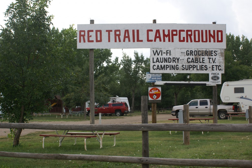
Entrance to Red Trail Campground.
We are staying at the Red Trail Campground in Medora, Montana. The WiFi signal is strong, and the Internet connection is fast enough to work, IF nobody else is using it. We kept getting disconnected and finally turned on our Verizon MiFi device. Bingo! I love 4G/LTE when it’s available.
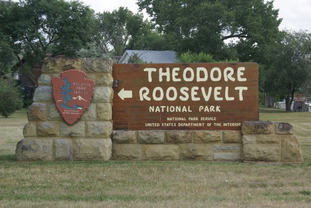
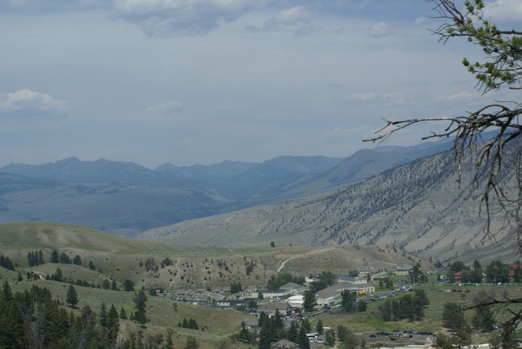
Entrance to TRNP South Unit in Medora MT.
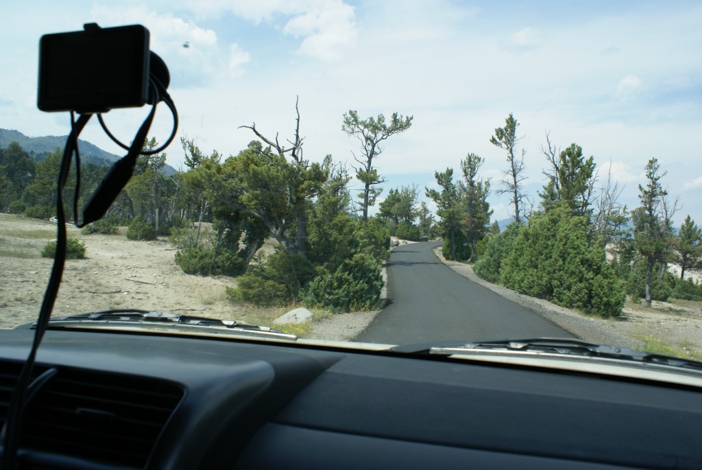
We decided last night that this morning we would tour the North Unit of the Theodore Roosevelt National Park. It’s a 62 mile drive to get from the entrance of the South Unit in Medora to the entrance to the North Unit, in the middle of nowhere. Rain was forecast for today but we wanted to get there early, so we were on the road by 7:15 AM MDT.
(BTW: This MDT thing becomes important in this part of North Dakota as the dividing line between the Mountain and Central Time Zones zigzags around this part of ND basically cutting off the southwest corner of the state for Mountain Time and leaving the rest as Central Time. A careful look at the state highway map revealed that the dividing line runs right down the middle of the North Unit of TRNP on an east-west line. We actually crossed the line while in the Park and our phones changed to Central Time for a while.)
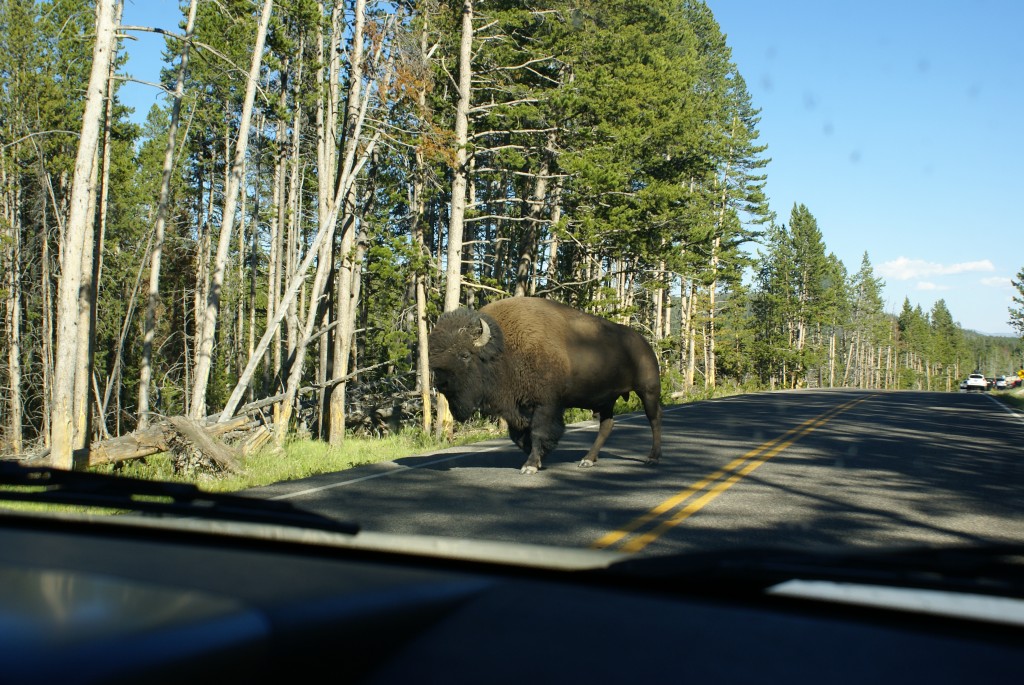
The North Unit may be in the middle of nowhere, but it is very much on the route to somewhere, namely Williston, ND some 60 miles north and bit west of the Park. Williston is the hub of the northeastern Montana / northwestern North Dakota oil boom, and the truck traffic and equipment moving up and down US-85 was something to experience. Apparently North Dakota expects this to continue for a while as much of this stretch of US-85 is being widened.
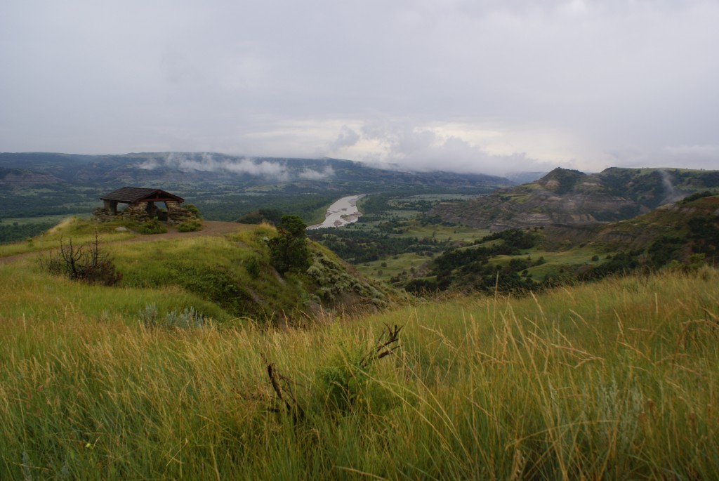
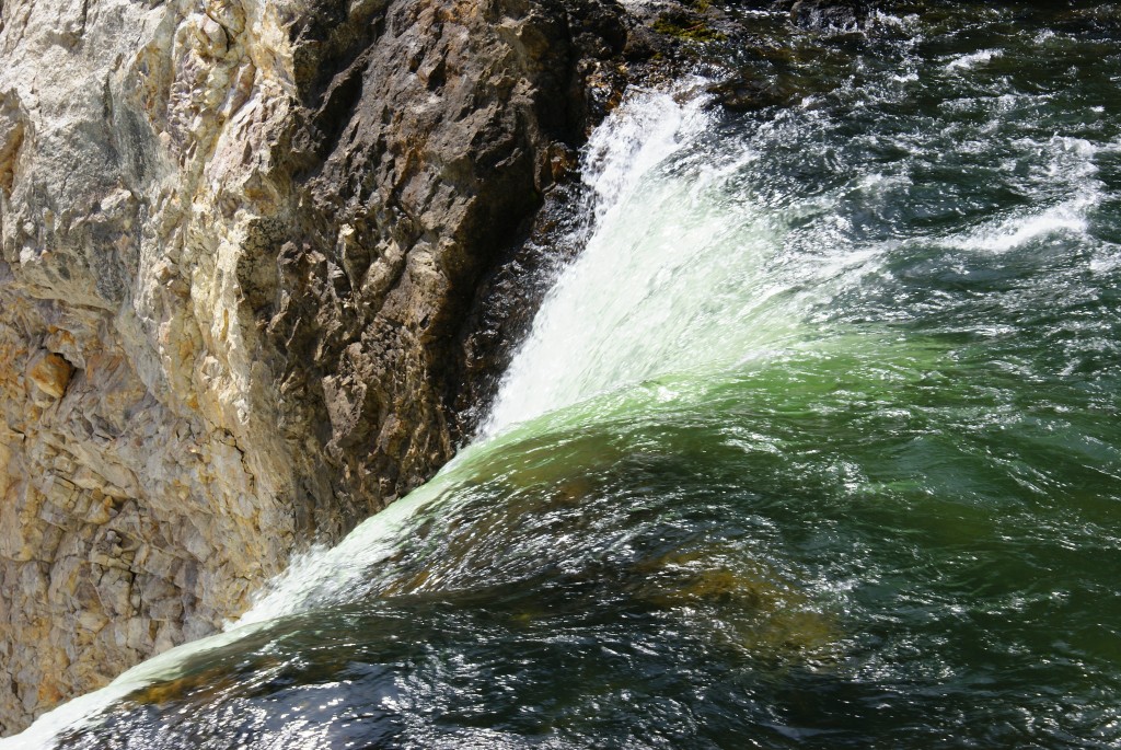
CCC shelter overlooking the Little Missouri Scenic River; TRNP North Unit.
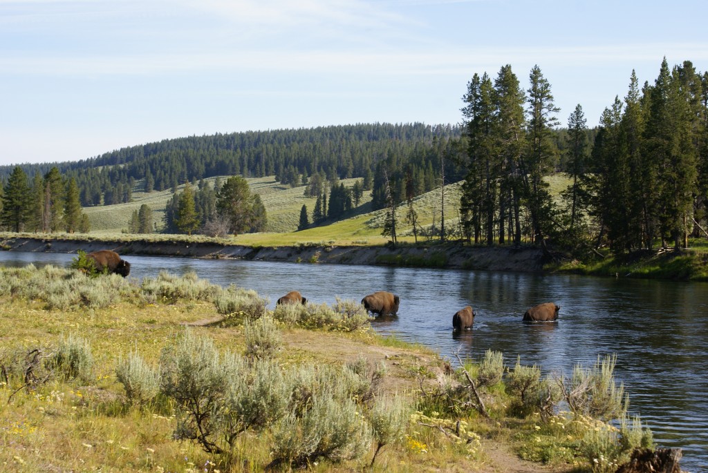
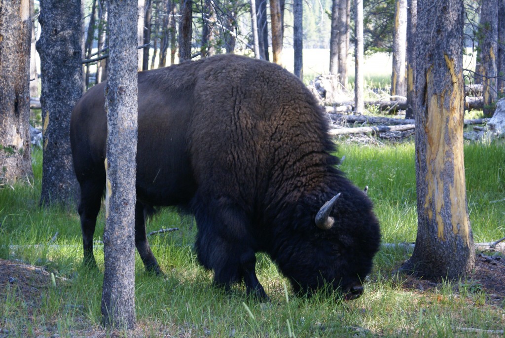
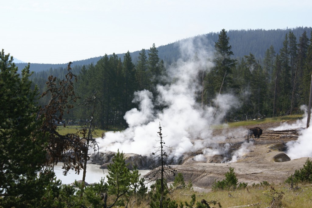
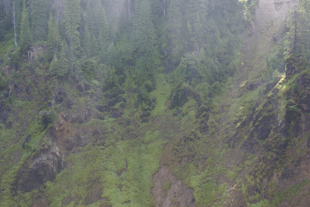
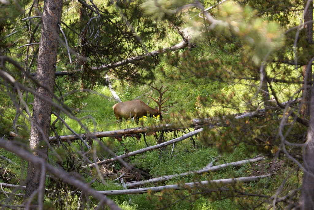
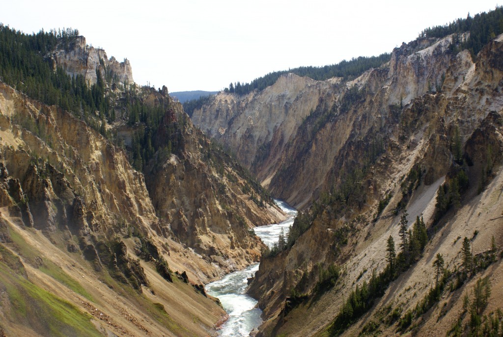
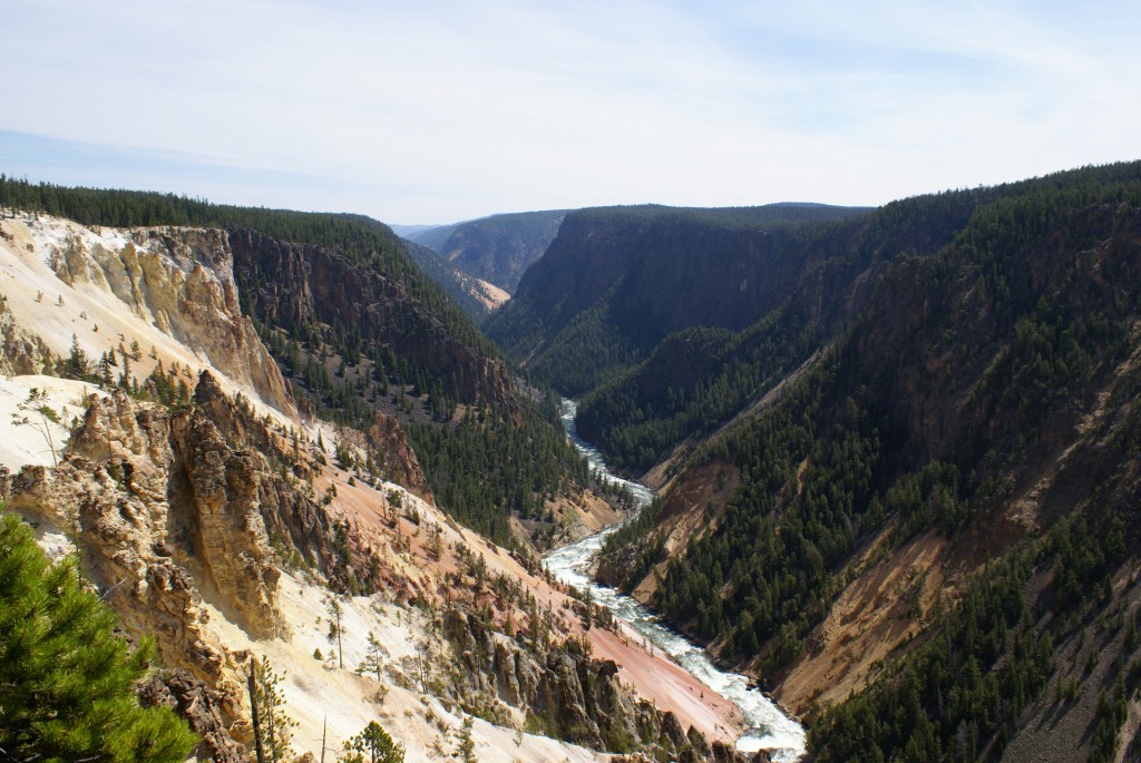
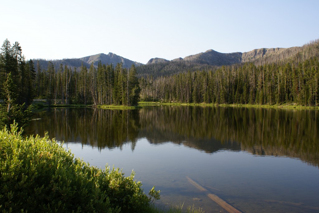
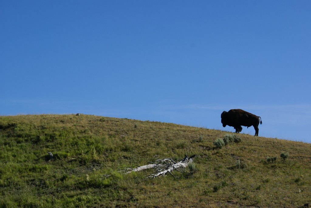
Once we turned into the Park, however, all was very quickly quiet and peaceful. Not being adjacent to a major Interstate Highway, the North Unit is probably much less visited than the South Unit, and we encountered very few other vehicles driving the 14 mile road (28 miles out and back). The weather was thick, as is obvious in these photographs, but it was an interesting and different way to see the Park. We encountered a “back country ranger” at this overlook and had a great, long conversation with him about the Park and the area around it. He told us that the North Unit does not have the wild horses that the South Unit has, but it does have bison, moose, bighorn sheep, and mountain lions. Although he didn’t mention them, we saw wild turkeys and a pheasant in addition to a couple of bison and deer.
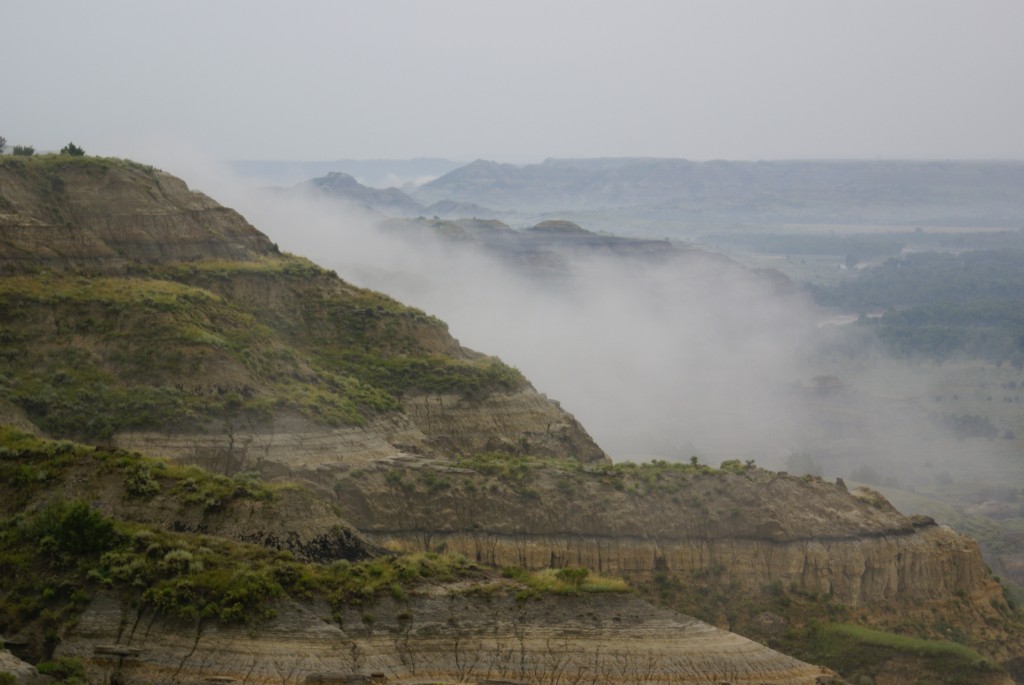
Thick weather in the TRNP NU.
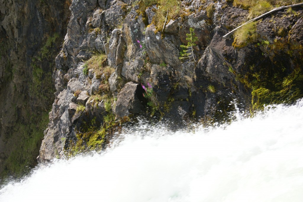
The weather in the North Unit was very thick this morning and the mood in the park is very different in this kind of weather. The Ranger told us that The North Unit is usually very dry this time of year but has had an unusually high amount of rain this season, and has already exceeded its normal annual rainfall. The Little Missouri Scenic River has water in it, when it would normally be dry, and the Park has a lot of greenery and flowering plants.
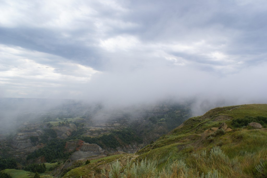
Clouds rolling up out of the river valley to the rim; TRNP NU.
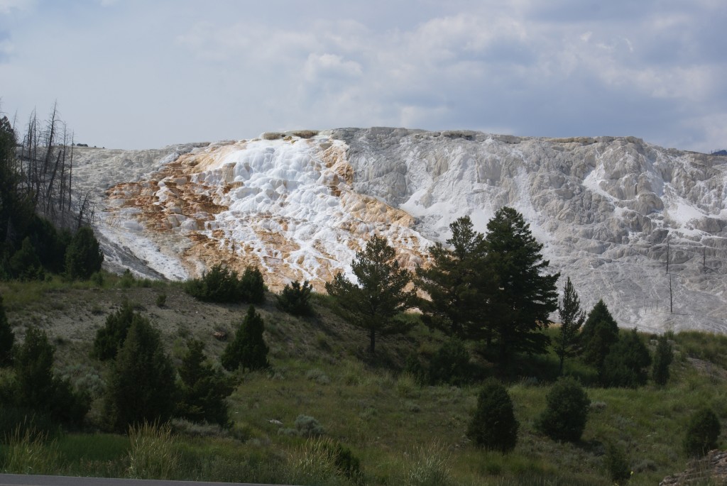
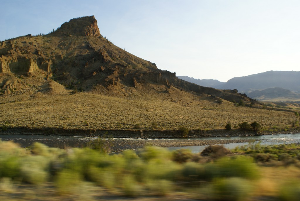
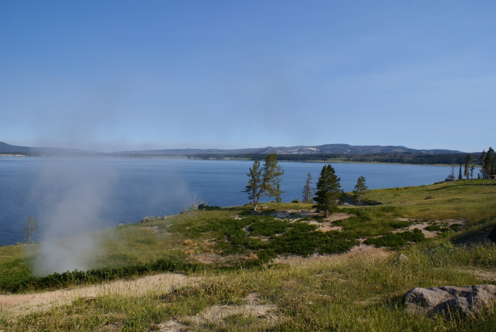
On the drive back to Medora we stopped at the Painted Canyon Rest Area and Visitor Center on I-94. This facility is located at the southeast corner of the South Unit of TRNP and affords nice views of a corner of the park where the interior roads do not go.
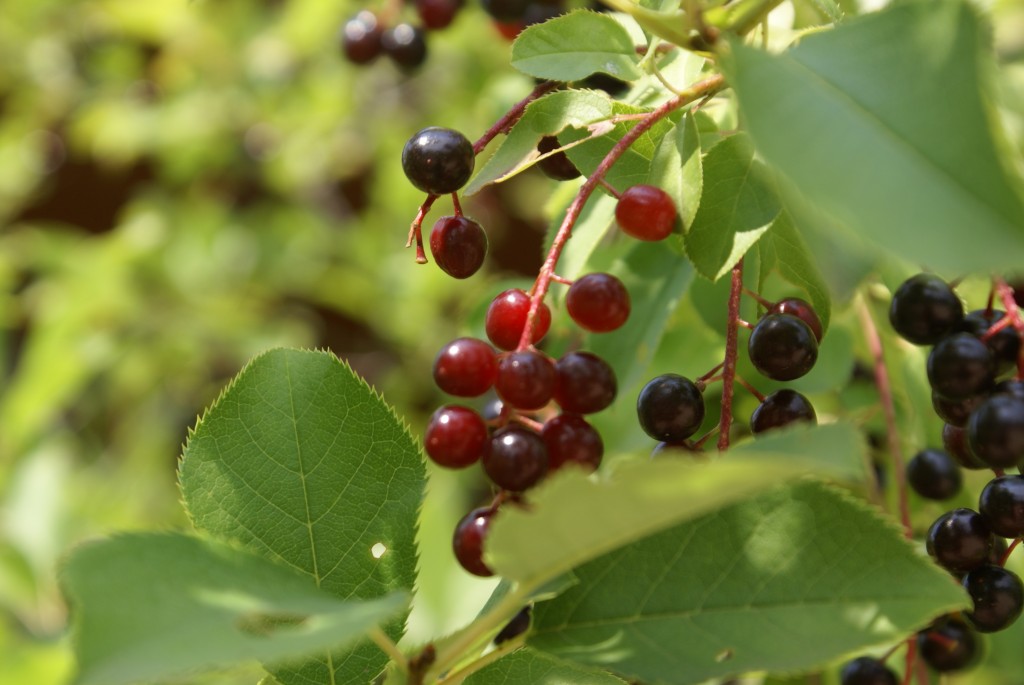
[04722 CN A chokecherry bush (I think).
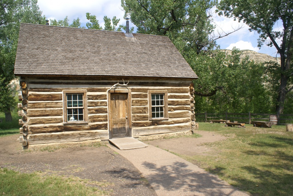
TR’s “nicer” log home, now on display in TRNP SU Visitor Center in Medora MT.
In the backyard of the center is Theodore Roosevelt’s 2nd (and nicer) North Dakota log cabin. Our timing was good as we got there in time for the 2 PM Ranger-led tour of the house, which is otherwise locked. It was very fancy for its time (1884), with three rooms, wood floors, an attic, a cold cellar, and glass windows.
We left the South Unit Visitor Center and drove through the adjacent De Mores Meat Packing site, now a state park with the smokestack and remnants of the foundations of the buildings that once stood there. We then had a slow drive through Medora and back to our coach. Here are a few pictures of the town:
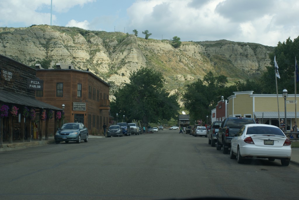
Just down the street from the entrance to TRNP SU in Medora MT.
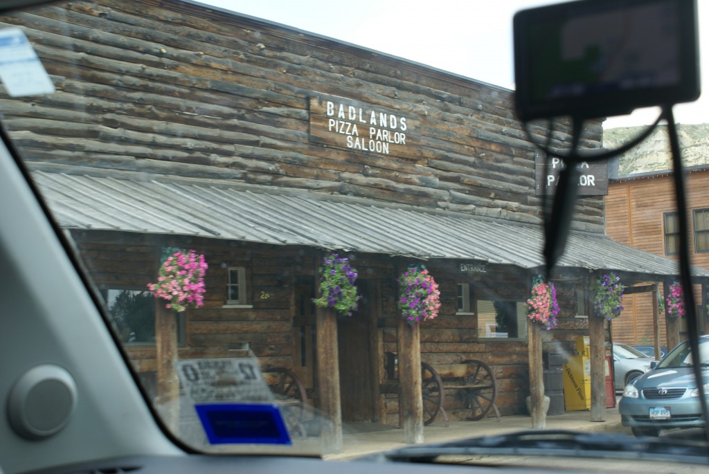
Shouldn’t every pizza parlor have a saloon, and look like this?
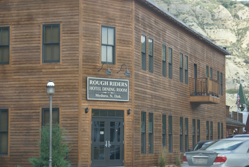
Medora is a much more refined town than its “rough” exterior suggests.
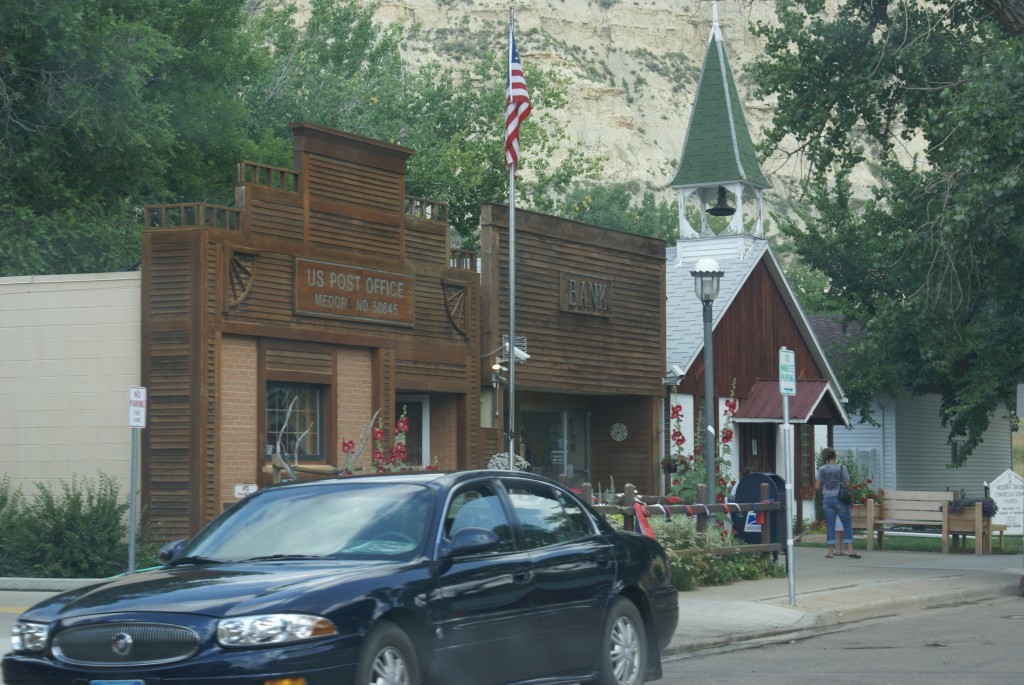
Even the post office and bank are quaint.
For dinner this evening Linda prepared a Kabocha squash that she bought for $1 at the Cody Farmers Market last Saturday. Niether of us had ever heard of this squash before she bought it. She cut it in two halves and microwaved them for 8 minutes to start the cooking process and cut down on convention oven time. She sauteed a mixture of brown rice, onion, garlic, carrots, bell peppers, and kale seasoned with salt, black pepper,dried basil, and Tamari sauce and stuffed the squash halves with it, mounded over the top. She backed these for 15 minutes at 350 degrees F using convention feature of our convection microwave oven. The squash came out perfectly cooked with a light yellow to slightly green color that paired wonderfully with the slices of honeydew mellow and the Riesling wine that accompanied the dish. Savory, nutty, chewy, and a little spicy without being “hot”, it was another wonderful example of what she has learned to do with these basic WFPB ingredients.
We have been back in “vacation mode” last week and this. We would prefer not to be, but we need to be back in Michigan in early August and are trying to see what we can on this trip with the time we have. We have not taken hikes that we would like to have taken, done any geocaching, or had the luxury of waiting for the weather to change. We did not go for pre-dawn or post-dusk drives and we did not stay up late enough to view the stunning night sky at the new moon in the deep, deep darkness of the west. We did not visit the Chateau De Mores (State Historical Site) or see the Medora Musical (OK, never really planned to). And we did not bring/operate our ham radios. But we did what we could with the time that we had, and it was all good. And when we are be back this way we intend to be managing our time differently. But for now, tomorrow we must move on and cross North Dakota.