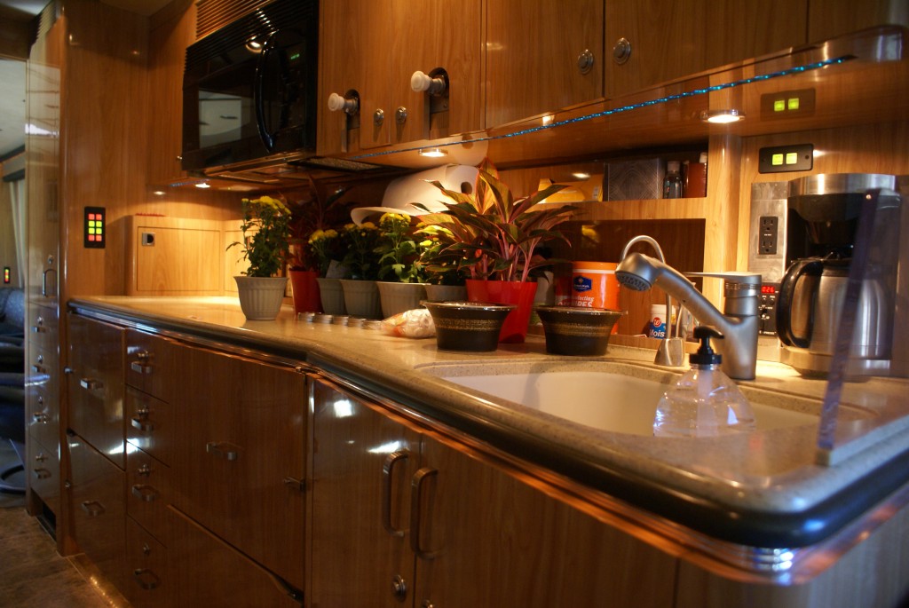
I was up early this morning to check e-mail and work on my backlog of blog posts. The WiFi at the Elkhart County 4-H Fairgrounds is excellent; our WiFi Ranger is picking up nine open fairground signals, with five of them quite strong. Even so, WiFi always works better when fewer devices are trying to use it.
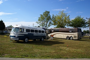
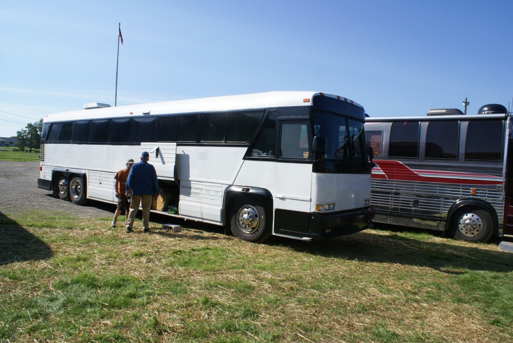
A 1948 Spartan and aour1990 Prevost.
Linda was up in time to go to the registration building at 8:00 AM with the intent of reserving one of the pavilions adjacent to where the GLCC chapter is parked. Alas, they were both taken. She and Vicky scouted out the ones that were still available, selected one, and reserved it for our Thursday evening pizza social and business meeting. We will be meeting at the Elkhart Noon Optimists building, 603 Locust St, by the big blue Fish Fry sign. While they were taking care of this I brewed a pot of coffee using two parts Ethiopian Yirga Cheffe to one part Columbian decaf, a very nice blend that cuts down a little on the amount of caffeine. When Linda returned we had a light breakfast of her very yummy homemade granola and fresh orange slices.
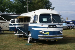
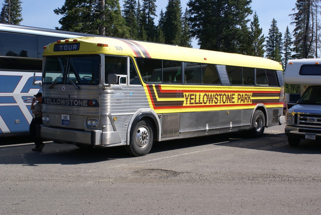
Don and Sandy Moyer’s restored 1948 Spartan bus conversion.
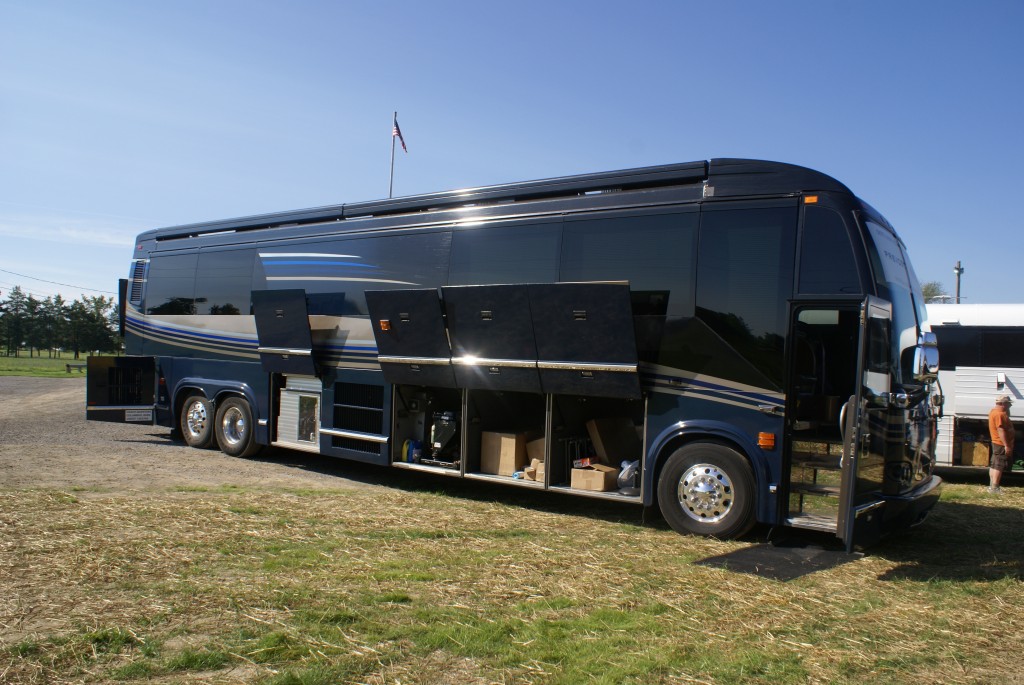
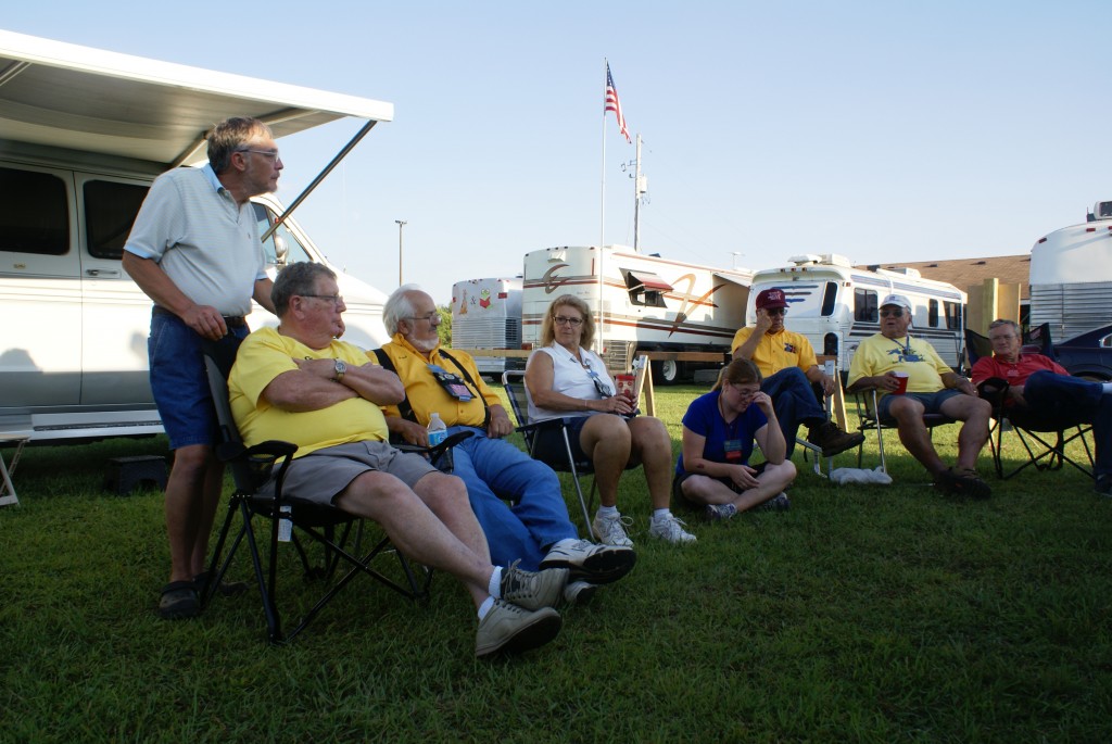
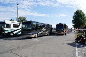
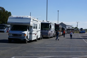
Mid-morning Linda, Fonda, and Vicky drove to the Shipshewana flea market, which is only open on Tuesdays and Wednesdays. I took that as an opportunity to wander the fairgrounds and photograph the arrival and parking activities. Today was the official beginning of the 2013 GLAMARAMA and motorhomes arrived all through the day. The arrival and parking process appeared to go quite smoothly, which makes for a good start to a large RV rally. The all-volunteer parking crew put in long hours, but were patient and cheerful throughout.
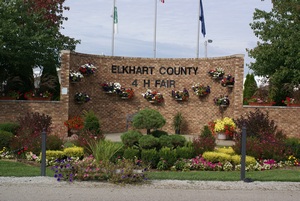
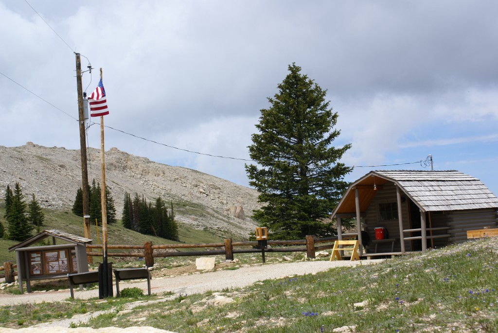
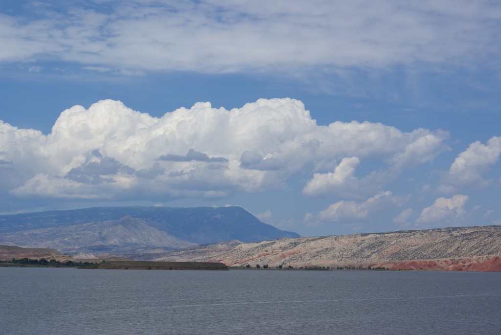
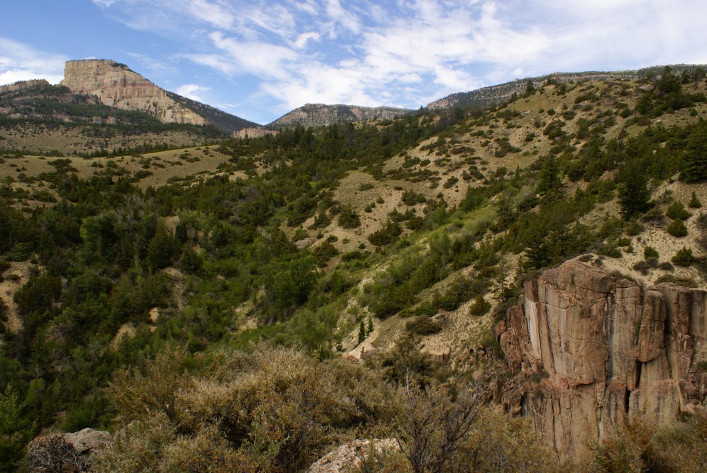
Elkhart County 4-H Fairgrounds.
While I was wandering around I found Ron and Meredith Walker’s Prevost XL-45. They just joined our GLCC chapter this past summer, but are not camped with us at this rally. Ron is the conductor of the Frustrated Maestros, who are doing several scheduled performances during the rally, so the FM chapter is their primary focus while they are here.
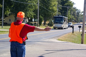
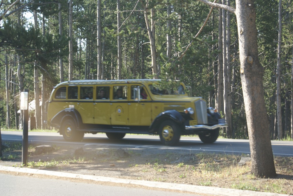
A motorhome approaching the fairgrounds entrance from the east on IN-34 / Monroe St.
They were home but rather busy. A muralist was air-brushing a mural on their rear cap and their front entrance door was partially disassembled. Meredith had me check out the mural and then Ron filled me in on the door situation. The main door handle had failed that morning while he was outside talking to someone, as a result of which he was locked out and she was locked in. They managed to find a technician who was able/willing to climb in a bedroom window and disassemble the door enough to get it open. I looked at the mechanism to see if there was anything I could do to fix it. There wasn’t, of course, but I told them I knew someone who might be willing/able to help.
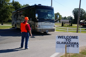
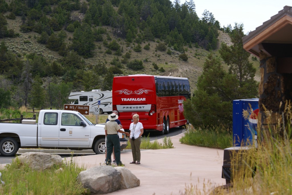
Welcome to GLAMARAMA at the Gate 5 entrance.
I returned to the GLCC camp to see if Butch would be willing to lend some assistance to fellow GLCC members. He was, of course; RVers tend to be helpful to other RVers when they can, but converted bus owners really tend to look out for one another. We went back over to the Walker’s coach and Butch determined that a weld had failed. While he couldn’t fix the latch on the spot we realized that the whole mechanism could be unbolted and moved out of the way so it couldn’t engage the latch pin on the door frame. Ron did the work, and that temporarily removed the lockout problem until they could get a new latch assembly from Prevost. In the meantime they could lock/unlock the door from inside or outside using only the deadbolt.
The staging area where towed vehicles get unhooked.
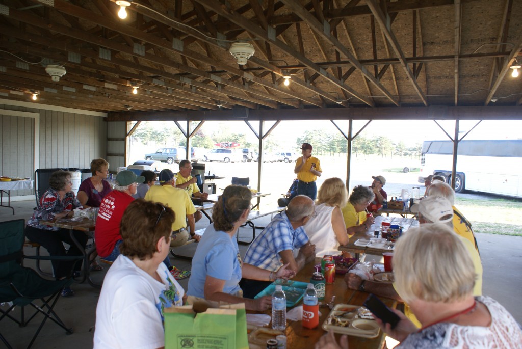
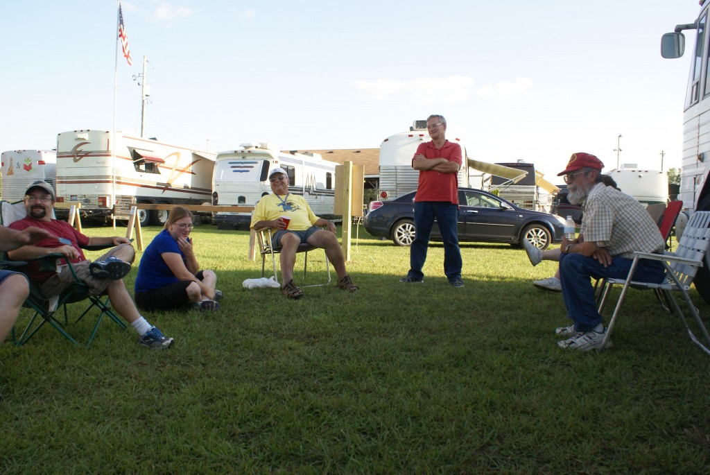
When the ladies got back from Shipshewana we pulled our camp chairs into a circle by Butch and Fonda’s MC-9 and spent a relaxing afternoon visiting with our fellow GLCCers. While we were sitting there, Frank and Sandy Griswold arrived in their Prevost H3-45 Vantare conversion along with Dean and Cindy Chipman in their Holiday Rambler Endeavor motorhome. A bit later Scott and Tammy Bruner arrived in their MCI MC-12 conversion. This completed our set of nine GLCC rigs that would be camping together for the duration of the rally. Our chapter had originally requested 8 spots, but the parking crew did a great job of getting nine coaches parked.
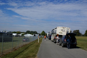
The holding area where RVs are queued for entry and escorted to their sites.
During the afternoon conversation someone asked how long we had owned our coach. That’s when we realized it was our 4th anniversary; we purchased our Prevost H3-40 on September 18, 2009. We met the owner at a restaurant in western Pennsylvania, gave him a certified check and got the title. The coach was at Creative Mobile Interiors (CMI) just south of Columbus, Ohio where it had been sitting for about two years. The owner had taken it there for service and then decided to sell it instead of fix it. CMI allowed him to leave it there while they advertised it on their website and tried to find a buyer. I described some of this story in the cover/centerfold article of the February 2013 issue of Bus Conversions Magazine.
A caravan being assembled for entry. They will be parked together.
We eventually broke for dinner and a little quiet time before heading over to the opening ceremonies. Linda made a simple green salad and a bow-tie pasta dish with olive oil, garlic, onions, mushrooms, and sun-dried tomatoes. The Arcturos Late Harvest Riesling from Black Star Farms in Michigan’s Leelanau peninsula was the perfect accompaniment. Their late harvest Riesling and pear wines are two of our all-time favorites.
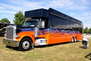
A different kind of motorhome, called a Class D, with a fancy paint job.
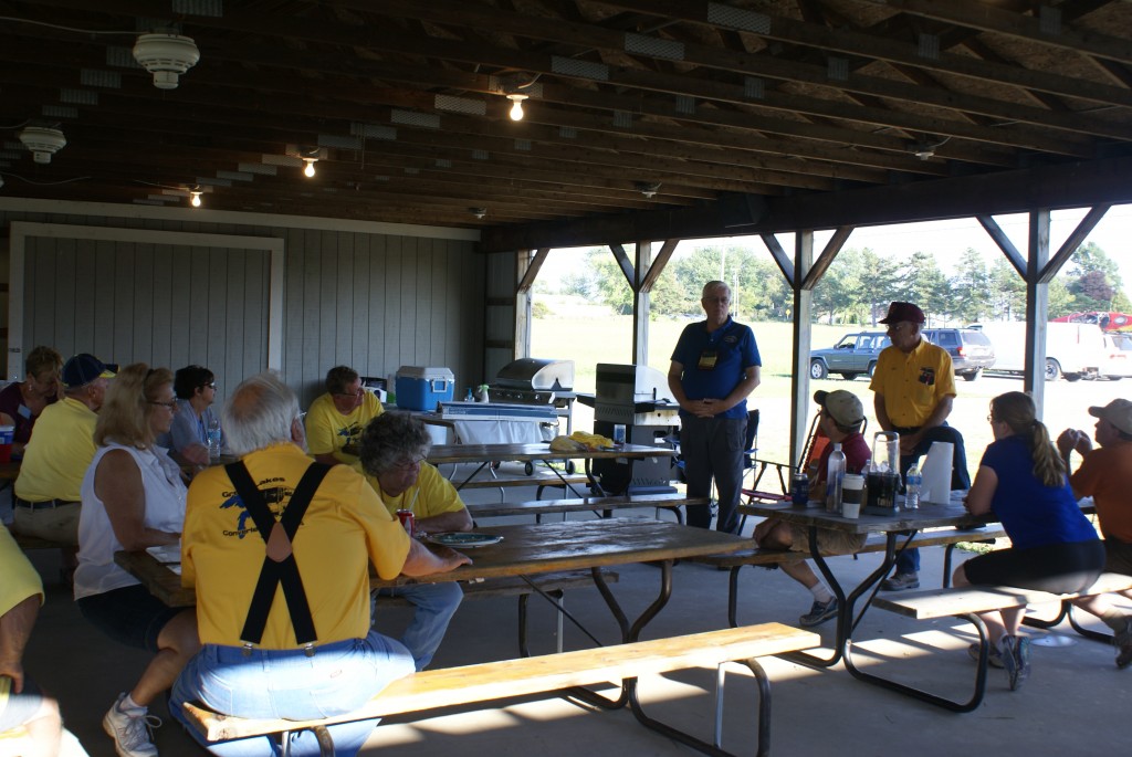
A group of us from GLCC walked over to the evening activities building around 7:00 PM and were greeted with handshakes and hugs by Jon and Sondra Walker, Charlie Addcock, and Jane Roush. That may not sound like a big deal, but it was. Hugs are an Escapees RV Club tradition, not something we had ever seen before at an FMCA rally. When Charlie and Jon were elected to national office they promised a new tone and new direction for FMCA, and it appears they are putting themselves behind that in a very personal way.
The Frustrated Maestros performed from 6:45 to 7:30 PM. The opening ceremonies began at 7:30 PM with Dane Bailey, The Singing Auctioneer, as the master of ceremonies, a role he will be performing for the duration of the rally. We had the usual opening consisting of an invocation, Canadian national Anthem, and U.S. national anthem, the posting of the colors by the local VFW color guard, and the chapter parade. There were 12 chapters officially in attendance. Notably by their absence were the Michigan Knights of the Highway, who formerly ran the GLASS rally. Dane then introduced Jon Walker, the FMCA Senior National Vice-President, who welcomed everyone. Jon was the GLAMA president and FMCA area vice-president until this past July when he was elected to the senior national vice-president office. He and Sondra are well-liked and well-respected within the Great Lakes area, and remained as the co-rally hosts for this event along with Jane Roush. (Jon and Sondra are also members of our GLCC chapter and Jon was our National Director for a while.) Jon announced that we had 469 coaches in attendance, although Vicky told us that one more had arrived. (Pat and Vicky were the official coach counters.)
FMCA National President Charlie Adcock was introduced next and said a few words. Charlie is a very enthusiastic, upbeat guy, as is Jon. Charlie administered the oath of office to Jane Roush, who was elected as the GLAMA president when Jon resigned to take his new national office. Charlie acknowledged the long list of VIP attendees, which certainly helped the rally coach count. The rally was budgeted for a break-even point of 400 coaches, so everyone involved in the planning and execution was very pleased with the turnout. I suspect that many of the VIPs were here as a show of support for this first ever attempt by GLAMA to organize its own rally.
With the opening ceremonies concluded Sgt. Daniel Clark, The Singing Trooper, was introduced. Dan is a former U. S. Marine and retired Massachusetts State Trooper, but has been singing since he was a child. He was clearly a trained opera singer and mentioned that he spent time at Tanglewood. He did a very tightly constructed and energetic show of patriotic and sentimental American favorites, ending with a medley of U. S. armed services theme songs, including the one for the U. S. Merchant Marines. The evening’s activities concluded, we had a leisurely walk back to our coach under a harvest moon.
And that is part of why we go RVing.