Our normal work schedule for HFH is Tuesday through Saturday. The schedule was changed due to the activities connected to the Sheridan Wyo Rodeo (pancake breakfast, bed races, parade, etc.) and we had today off in exchange for working next Monday. Angel was throwing a Bar-B-Que after the parade and our HFH team was invited for lunch. One of the challenges we face when doing group activities is that our food choices are often limited, and sometimes non-existent, unless we bring something. Such were the food offerings today.
The change in schedule was fortuitous for us as the closing on the sale of our old house was scheduled for 10:00 AM EDT today back in Michigan (8:00 AM MDT in Sheridan). Our daughter handled the signing of documents on our behalf, but we wanted to be available by phone or e-mail in case anything came up. Everything was arranged properly, and shortly after 9:00 AM (our local time) we got the “thumbs up” that the transaction was concluded.
Linda and I opted out of the Wyo Rodeo activities and went for an all-day drive through the northern Wyoming Bighorn Mountains. US-14 and US-14A are National Scenic Byways that we wanted to see, but we had been told, and read, that they were not friendly for large RVs and should be avoided by larger/heavier rigs in particular.
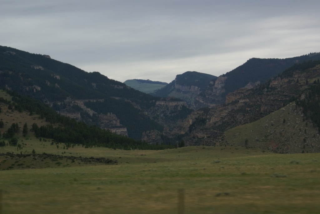
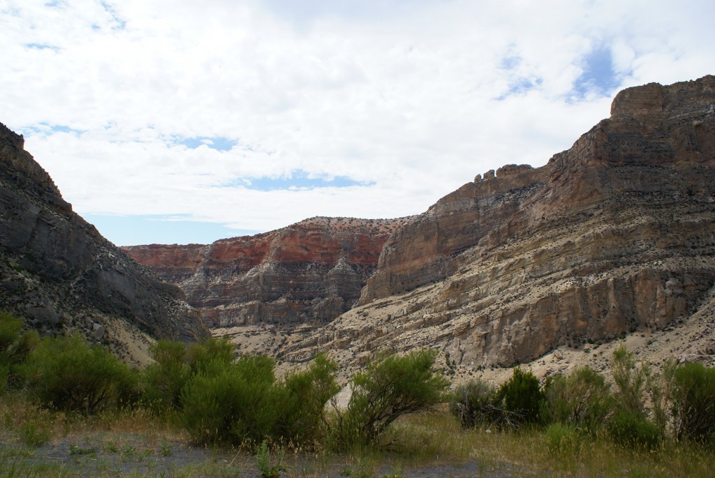
Coming into the Bighorn Mountains on US-14
US-14 connects Ranchester and Dayton, Wyoming on the east side of the Bighorn Mountains to Greybull, Wyoming on the west side. It has numerous switchbacks and some 7% and 8% grades, but is used by semis, as we saw today. We also saw four full-size Prevost buses (H3-45’s) during the day, so we know vehicles that size can use this route if they have enough power to go uphill and good enough brakes to come back down.
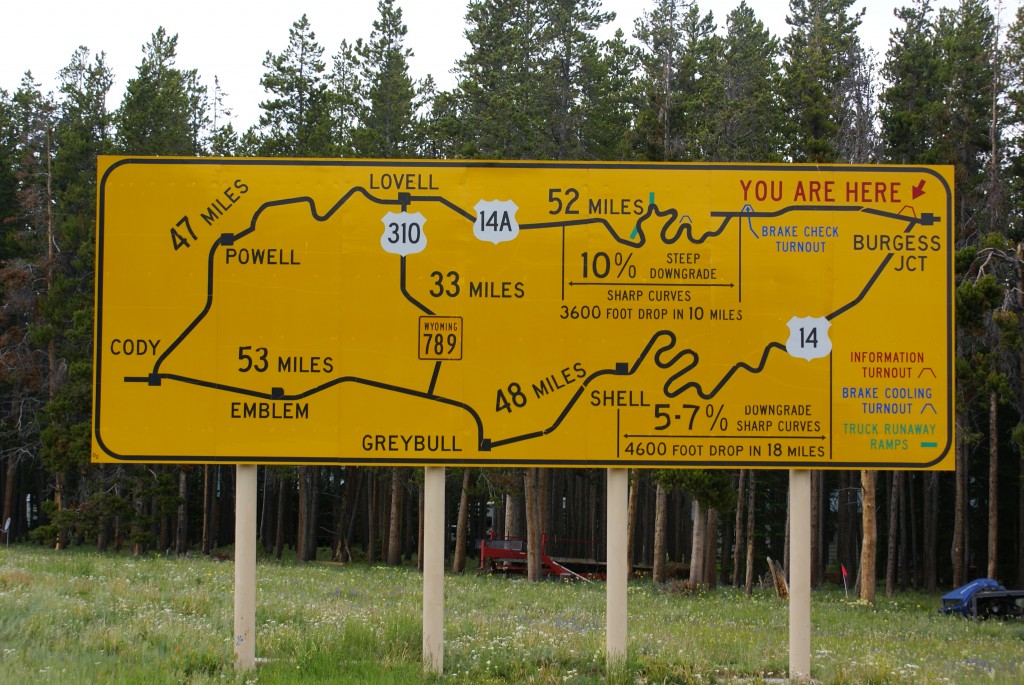
US-14A warning sign at Burgess Junction.
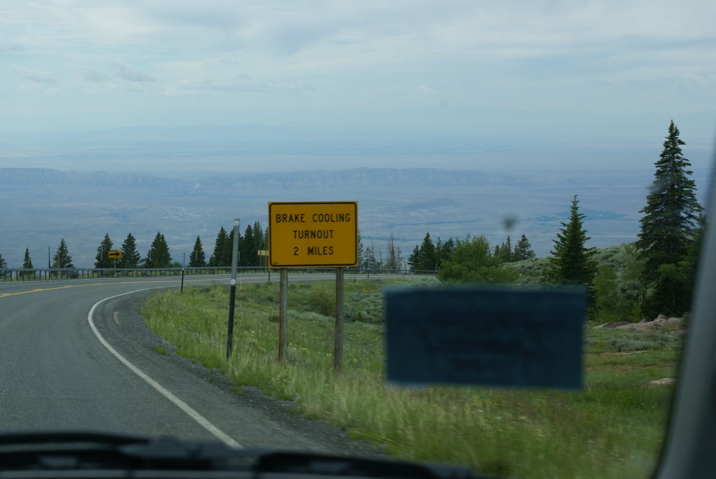
Part way across US-14, traveling east to west, is Burgess Junction. US-14A starts at Burgess Junction and goes north and then west to Lovell, Wyoming. It has numerous warnings at both ends and along its full length for semi’s, motorhomes, and any other vehicles pulling trailers. Like US-14, it has switchbacks and tight turns, but the road is good and seemed wide enough to be drivable. In fact we saw a couple of semi’s along the way (climbing eastbound and going real slow.) The major hazard is a 13 mile stretch on the west side of the range that features long stretches of 10% grade going downhill when traveling west. There are several mandatory brake check areas, and a couple of runaway truck stops, which always give one pause for thought.
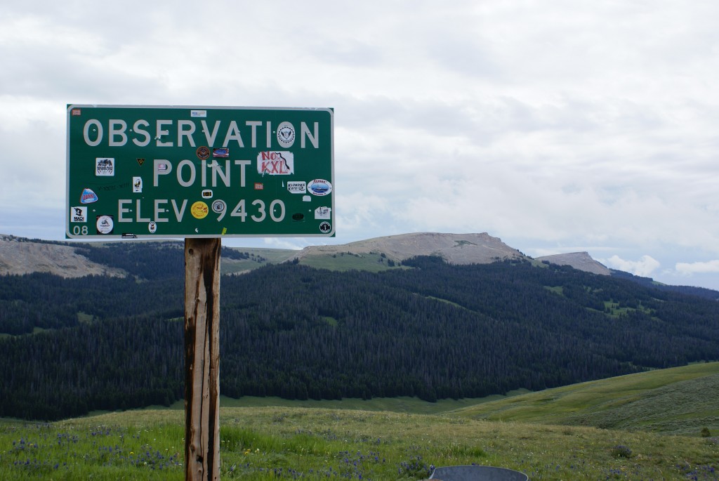
Observation Point on US-14A.
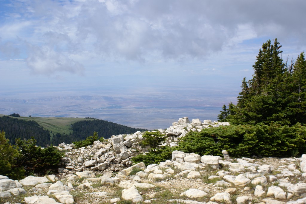
The summit of this drive was Observation Point at 9430 feet ASL, between Burgess Junction and the turnoff to the Bighorn Medicine Wheel National Historic Landmark. The Observation Point turnout provides the first view of the Bighorn Valley that lies between the Bighorn Mountains and the Absaroka Range on the eastern edge of Yellowstone N. P. Clouds were blowing up the side of the mountains from below us, and it was refreshingly cool.
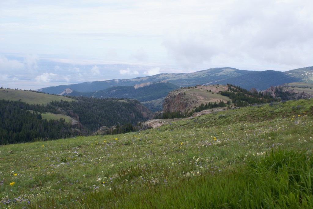
View SW from Observation Point.
Open range above 9000 feet!
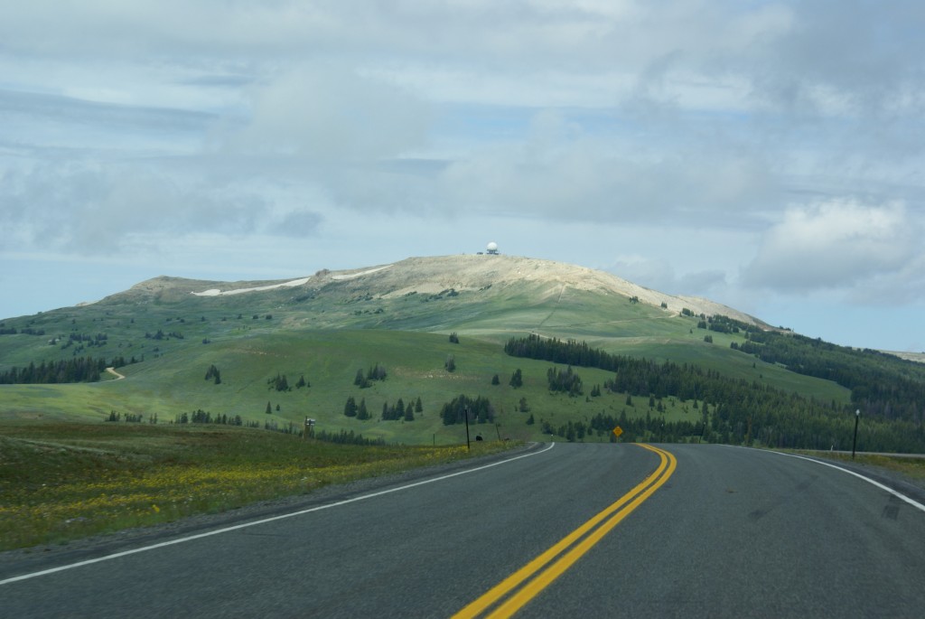
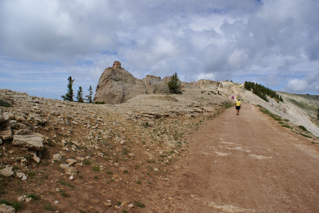
Approaching the Medicine Wheel turnoff. FAA facility on top of mountain.
The car, with Linda at the wheel, handled the road just fine. Besides the scenery, which was great, one of the reasons we went this way was to see the Bighorn Medicine Wheel, an archeological site that is still in use by Native Americans today. To get to the Bighorn Medicine Wheel site, we took a steep, narrow, curvy, dirt road 1.5 miles to a U. S. Forest Service station. Four-wheel drive is not necessary, but four-wheel stop is.
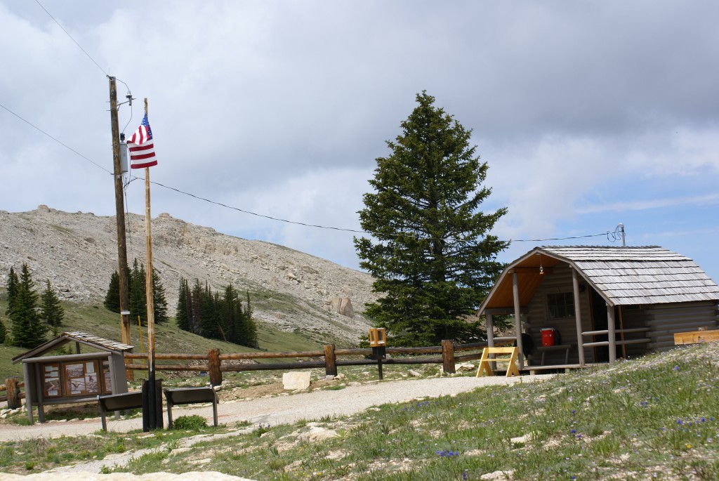
USFS station at the Medicine Wheel.
From the station parking lot there are two gravel roads, one to the FAA facility on top of the mountain you see driving in, and another one that goes to the actual Medicine Wheel. The road to the Wheel is closed to all vehicles except those displaying handicapped tags, so we hiked the final 1.5 miles. The USFS station is at 9500 feet ASL and there is some up and down before reaching the Wheel at 9,956 feet ASL, which makes it the highest medicine wheel in North America. The sun was intense when not obscured by clouds and parts of the road were exposed to wind, which was strong. The air temperature was very cool, but we walked briskly and were comfortable.
A view from the road hiking to the Medicine Wheel.
The final climb to the Medicine Wheel.
Yup, we were pretty high up.
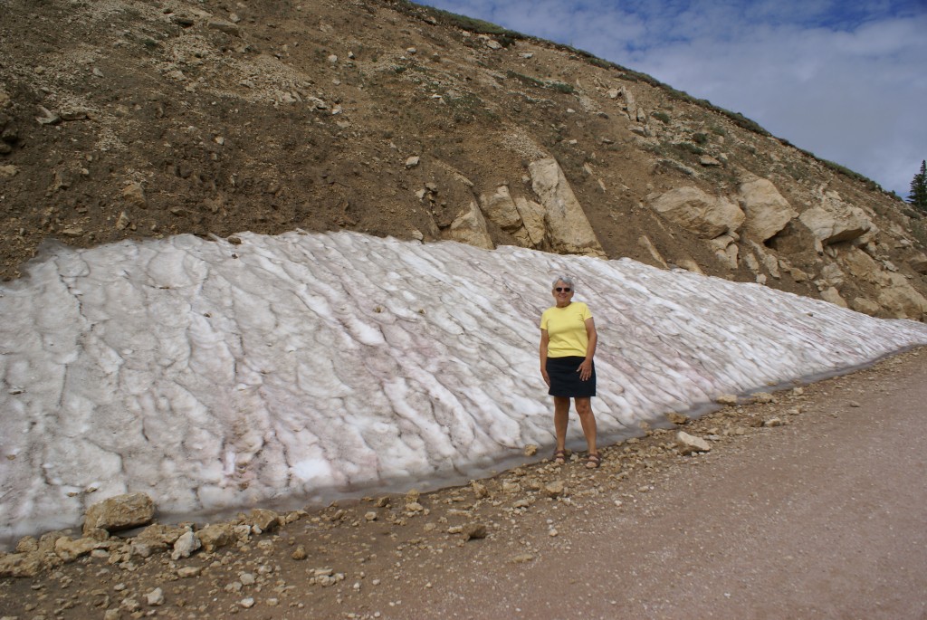
Note: We forgot to bring jackets. Rule number one about any mountains, always bring adequate clothing. Rule #2; wear adequate hiking boots or shoes. Rule #3; bring water. We missed on all three today, L but I was recalled having learned some years ago in wilderness survival training that most cases of hypothermia occur between 40 and 60 degrees F, particularly when people get wet (or sweaty) in a windy situation.
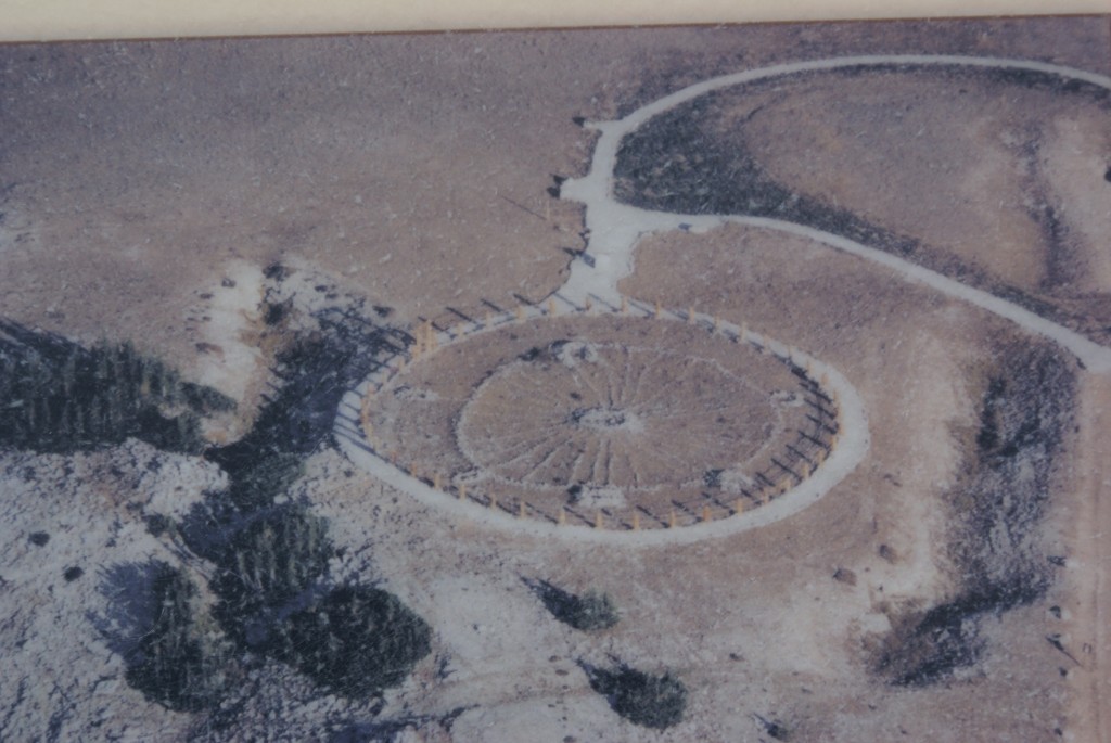
An aerial view of the Medicine Wheel (from a display board).
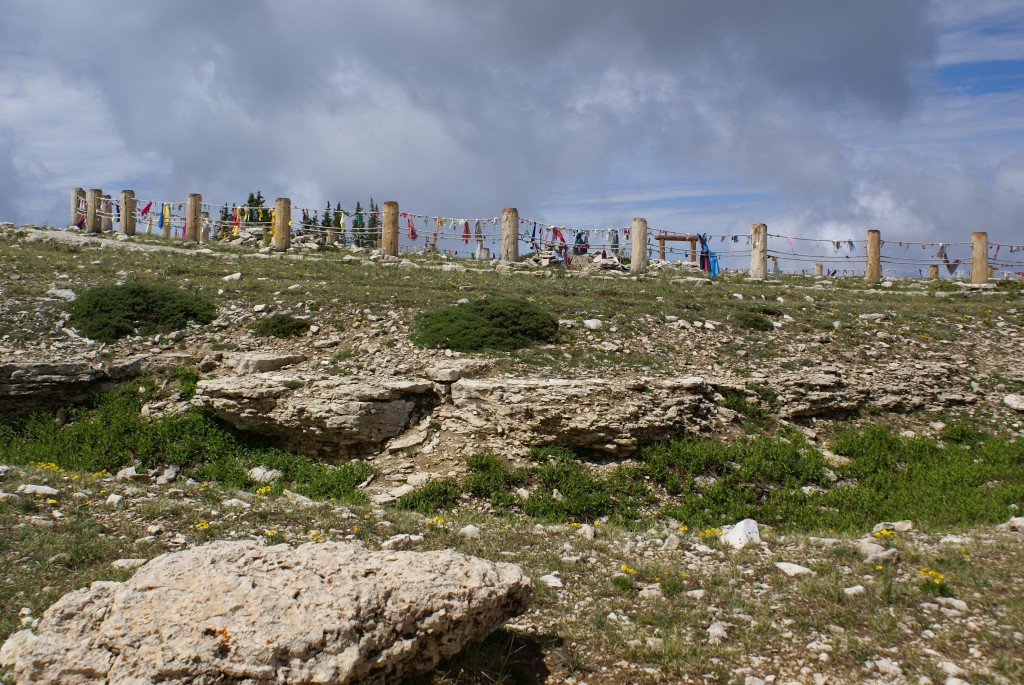
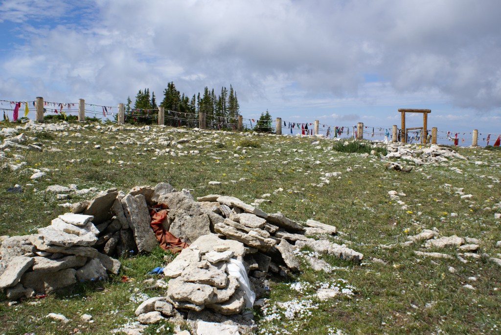
The Bighorn Medicine Wheel is an archeological site because its construction and initial use pre-dates any written record or oral history of the area. The best estimate is that it was constructed around 1200 C.E. by people who had subsequently disappeared from the region long before “modern” Indian tribes moved in. It is made of rocks placed on the ground in the shape of a wheel 80 feet in diameter with 28 spokes, making it the largest medicine wheel in North America. It has a rock cairn at the center hub, and six smaller cairns spaced around the perimeter. Its origin and purpose are unknown, but the nature of the site suggests that it served both astronomical and spiritual functions, and it is the later that continues today.
Approaching the Medicine Wheel.
The Bighorn Medicine Wheel is worth the trouble it takes to get there, but like many archeological sites, you might be underwhelmed if you don’t understand what you are going to see and appreciate when/where/how/why it was built.
The spokes and cairns of the Medicine Wheel.
The view to the west from the Medicine Wheel.
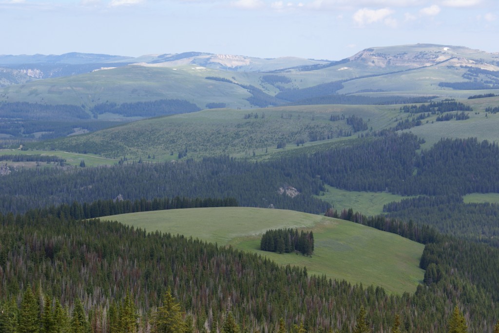
Besides the Wheel itself, we experienced being above the tree line and above the base of some clouds. The views were magnificent in all directions, and although it was hazy to the west, we could clearly see the Bighorn River valley spread out below, and the Absaroka mountains of the Yellowstone N. P. area on the other side of the valley over 100 miles away.
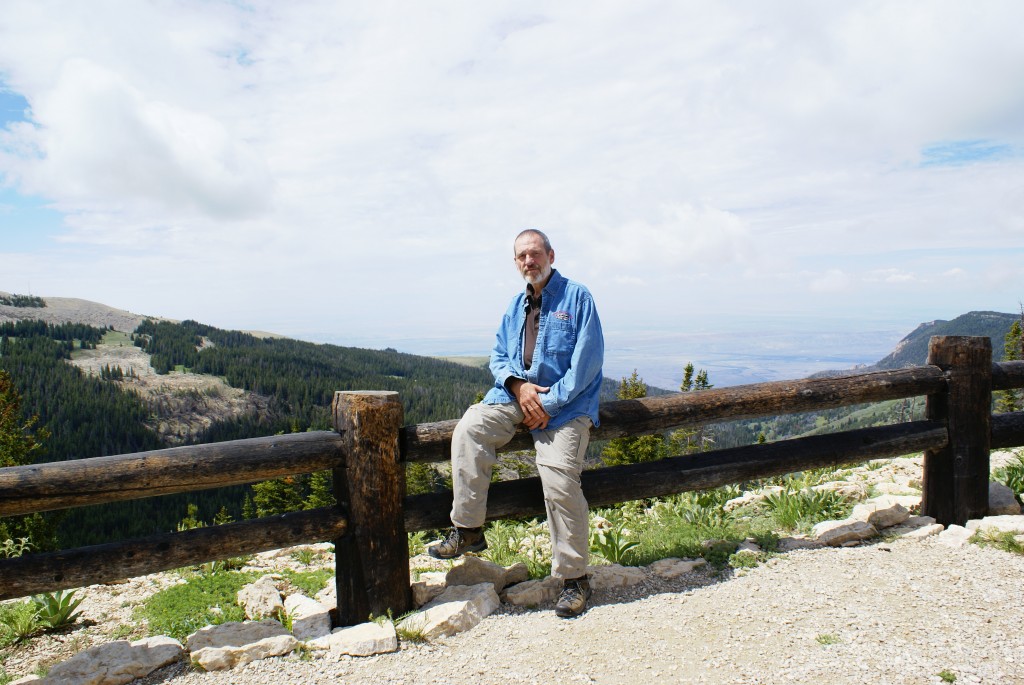
Bruce at Medicine Wheel.
As we backed out of our parking spot I heard a loud screech. I got out of the car and checked each wheel position as Linda moved the car backwards and forwards. The screech was coming from the passenger-side rear disc brakes. I tapped on the caliper with my hammer and gravel fell onto the inside of the wheel rim. I repeated this until I stopped getting gravel. Linda tested the brakes again, and they were fine, another example of a potential problem resolved. We pulled out and headed for Lovell, Wyoming, the western terminus of US-14A.
Brake check ahead on US-14A!
The drive from the Medicine Wheel turnoff going west is where US-14A becomes a challenging drive with a long stretch of 10% downhill grade. There are brake check turnouts, and runaway truck ramps, and just to make matters more interesting, as if the scenery weren’t distracting enough, it’s open range.
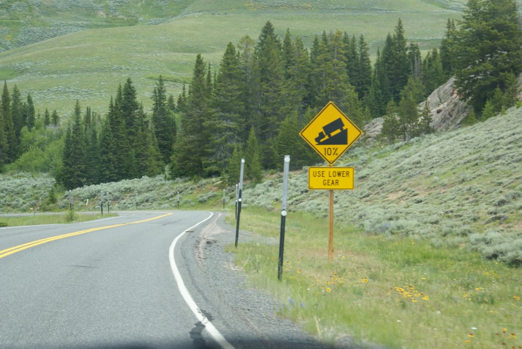
10% grade on US-14A!
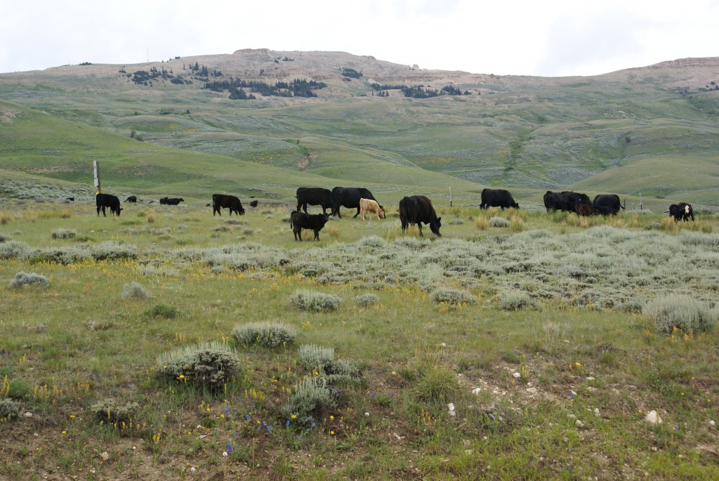
More open range on US-14A!
As we came out of the mountains into the Bighorn River valley, we left the Bighorn National Forest and entered the Bighorn Recreation area. The river is obviously dammed somewhere and we crossed the reservoir and headed towards Lovell.
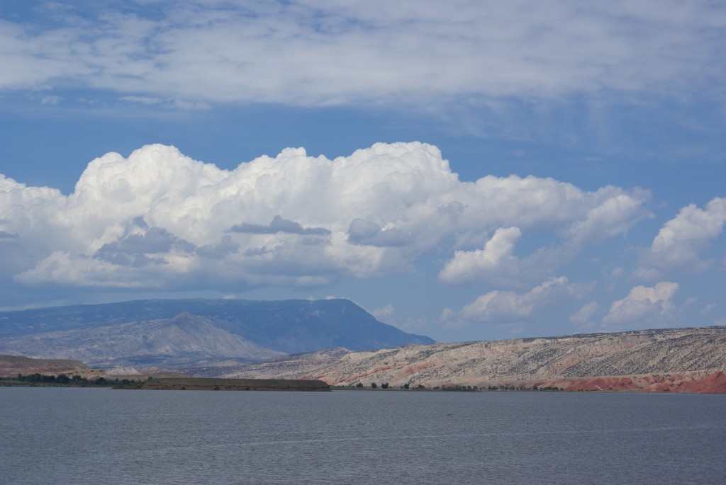
Bighorn River Recreation Area Reservoir.
Before we got to Lovell we stopped at the Bighorn Recreation Area Visitor Center, and made some follow-up phone calls pertaining to our house sale. By then it was almost 2:00 PM, so we found a Blimpies Sub Shop in Lovell and split a veggie sub. Wyoming 37 heads north out of Lovell along Bighorn Canyon, which we would have liked to see, but our return route to Sheridan was via US-14, so we took US-310 south to Greybull, Wyoming. Although not marked as a scenic drive, this stretch of US-310 was very interesting. Except along the Bighorn River and Shell Creek the valley is arid and reminded us of the dessert southwest; stark but beautiful in its own, otherworldly way.
Heading into Shell Canyon.
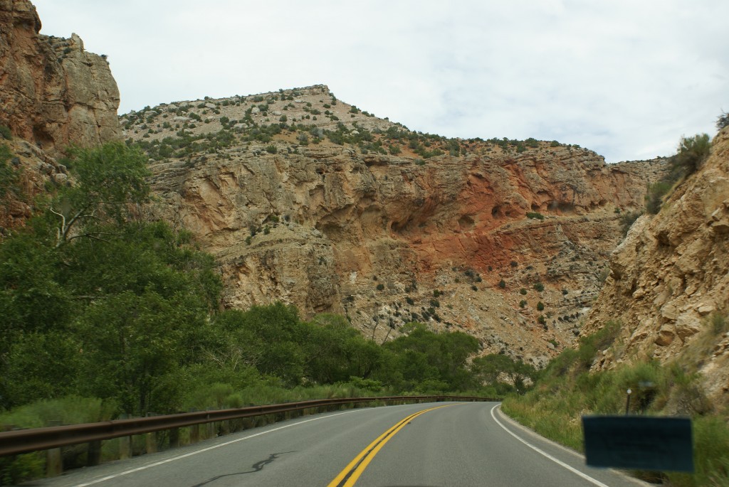
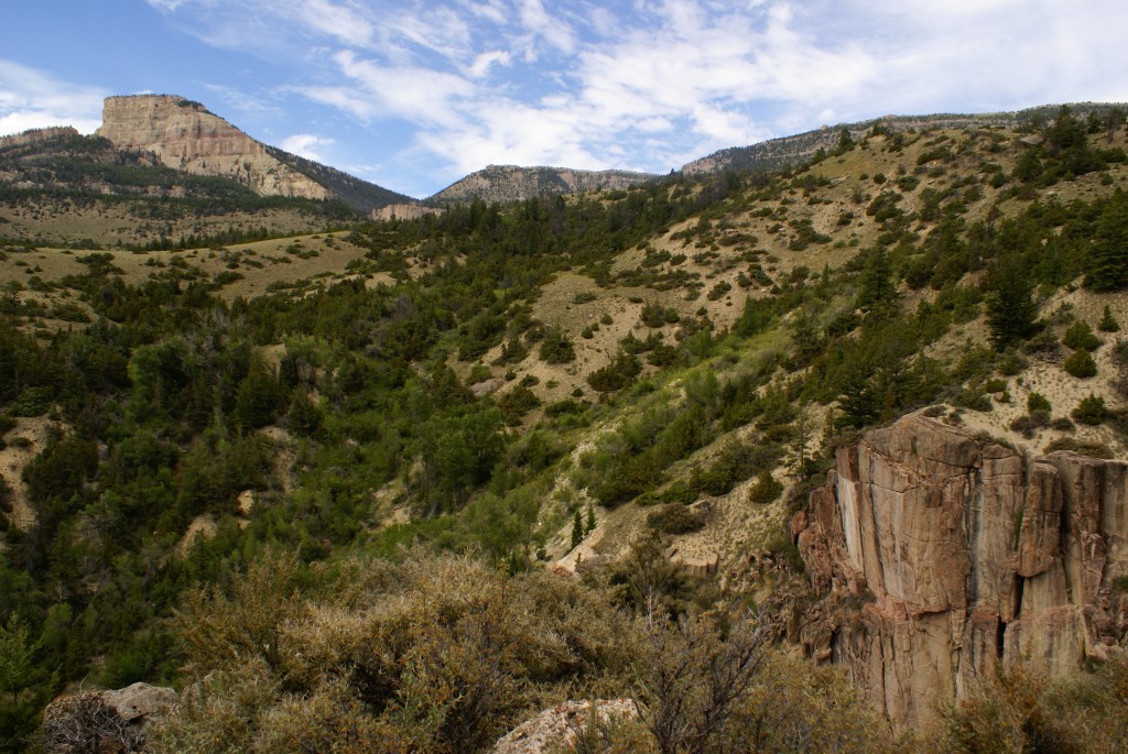
We headed east on US-14, and stopped in Greybull to change drivers as Linda’s right hip and leg were bothering her. (This tends to happen if she drives for too long.) We crossed the river and started climbing back up into the Bighorn Mountains. As we got into the mountains we found ourselves following Shell Creek along the floor of Shell Canyon. This stretch of the highway was very dramatic, and the roadway was somewhat narrower with tighter blind curves. Eventfully the road left the floor of the canyon and climbed up the sides of the mountains, getting more and more dramatic with each bend in the road, the canyon walls and mountain peaks still looming high above us.
Shell Canyon.
Shell Falls Visitor Center.
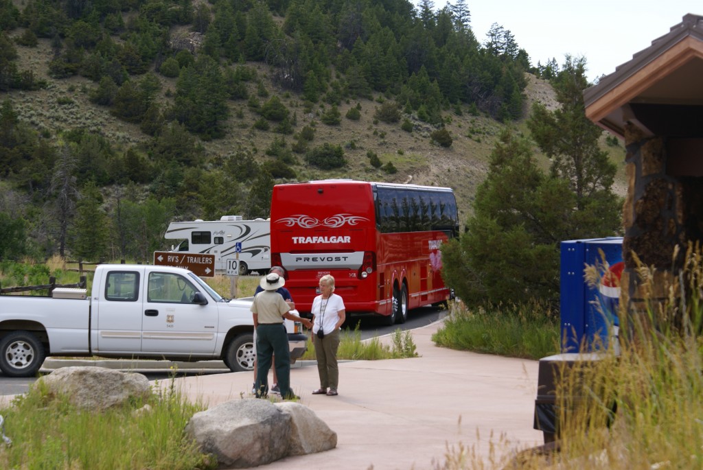
On both US-14 and US-14A we often had the road to ourselves, and even the scenic pullouts were often empty. Thus we were surprised when we came upon the Shell Falls Visitor Center. The large parking lot was almost full and the place was crawling with people. (So that’s where everybody was!). We pulled in anyway and watched a Trafalgar Tours Prevost H3-45 disgorge a large number of sightseers. (We saw four 45 foot tour buses on US-14, so large RVs can obviously do this route as long as they have the necessary power and braking.) We waited in line to get our “passport” stamped and then hiked around the site, which was actually quite stunning.
Nearing the top of Shell Canyon.
After leaving Shell Falls, the road continue to climb and the canyon eventually gave way to the broad mountain meadows that cover the top of this part of the Bighorn Mountains. The grade on US-14 reaches 7 – 8% in places, but takes more miles to change elevation than US-14A does.
On top of the Bighorn Mountains (almost).
We went through Granite Pass at 9033 feet ASL, and started our descent towards Burgess Junction, and eventually Dayton, Ranchester, and finally back to Sheridan. The whole trip was approximately 240 miles and took about 9 hours.
Although it was 6:00 PM when we got back to Peter D’s RV Park, four members of our HFH team were having an extended social hour so we poured a couple of glasses of wine and joined them. Dinner could wait.